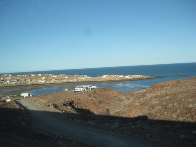
The village of Puertecitos, as seen from the highway, Km. 75-76.

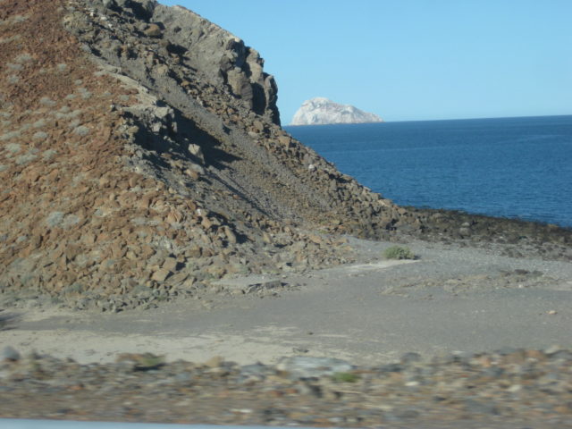
Isla El Huerfanito (The little Orphan Island). It is just off the beach and separated from the other islands by some distance. Km. 103

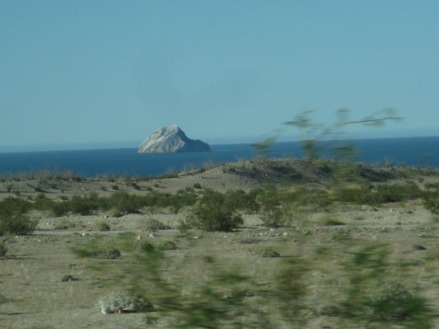
Isla el Muerto (Dead Man Island). Can you see why it is named that? Km. 110
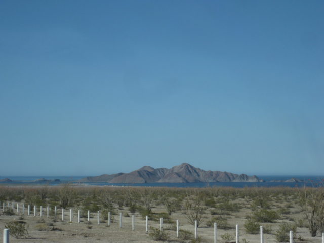
Isla La Lobera in the distance and the site of Okie’s Landing, a popular fishing campo in the 1960s. Today, simply a spot at Km. 117.
This archipelago is known as Las Encantadas, or The Enchanted Islands. Consisting of volcanic pumice, when parts break off, they float! The beaches up
and down this coast are litterd with pebbles that float. In a c-cktail, your drink could be 'on the rocks' literally!

Isla San Luis, Km. 128

Islas La Lobera & Encantada
Isla San Luis Gonzaga

South of Gonzaga Bay, the new highway (completed in 2020), passes through a large boulder field in a region named Las Arrastras, after the old gold
ore mills, seen from the bridge just north of Km. 180.

The large arrastra (ore mill) as seen from the highway bridge.

The south end of Highway 5 (Km. 201.5), Laguna Chapala.
OR, you can take the longer route on Hwy. 1 and see dozens of farm towns, and nearly an hour just to get through the city of Ensenada. Do it sometime
to compare the beauty and relaxed drive of Hwy. 5 to the traffic and twisty roads of Hwy. 1. Yes, past El Rosario, 225 miles south of the border, the
desert there is beautiful! |