Originally posted by David K
Glad BajaCat bumped up the thread... moving maps and photo of it here:
| Quote: | Originally posted by Barry A.
| Quote: | Originally posted by BAJACAT
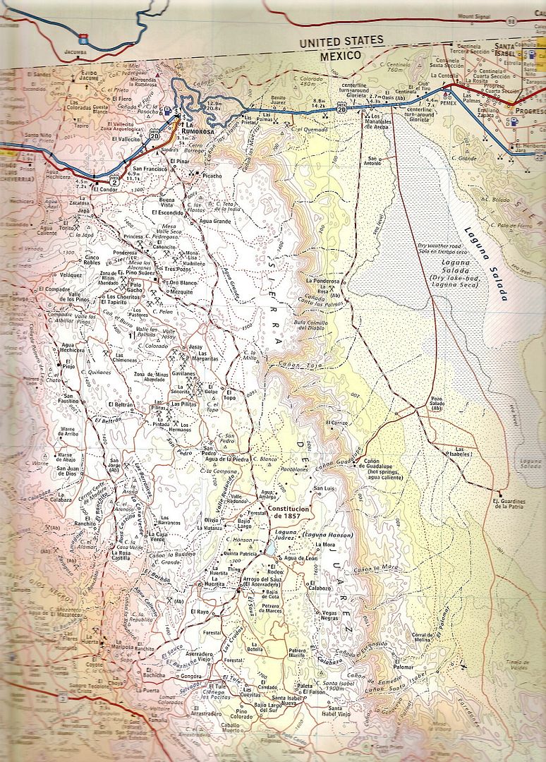
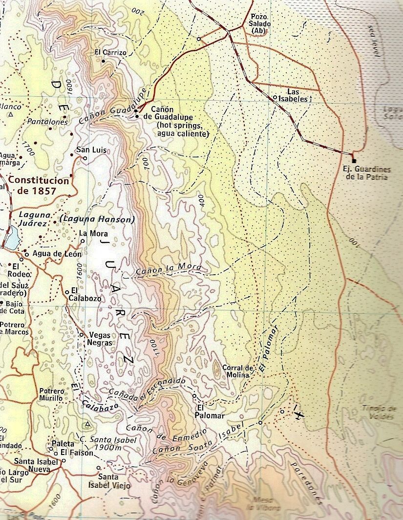
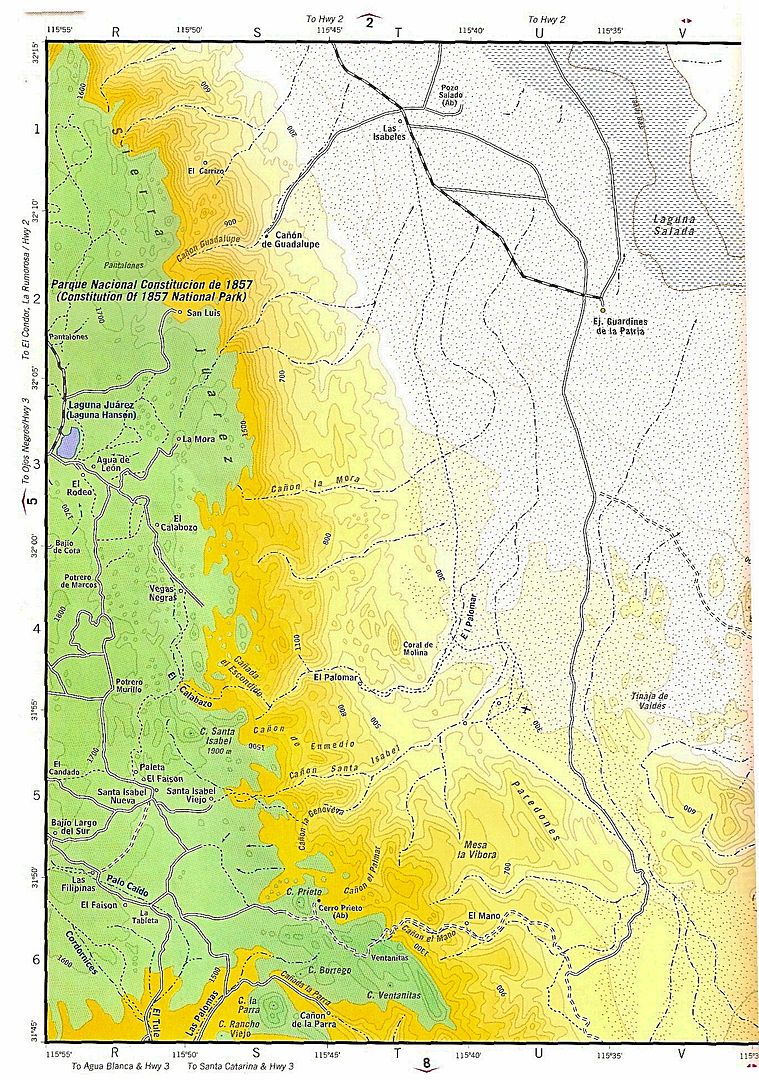
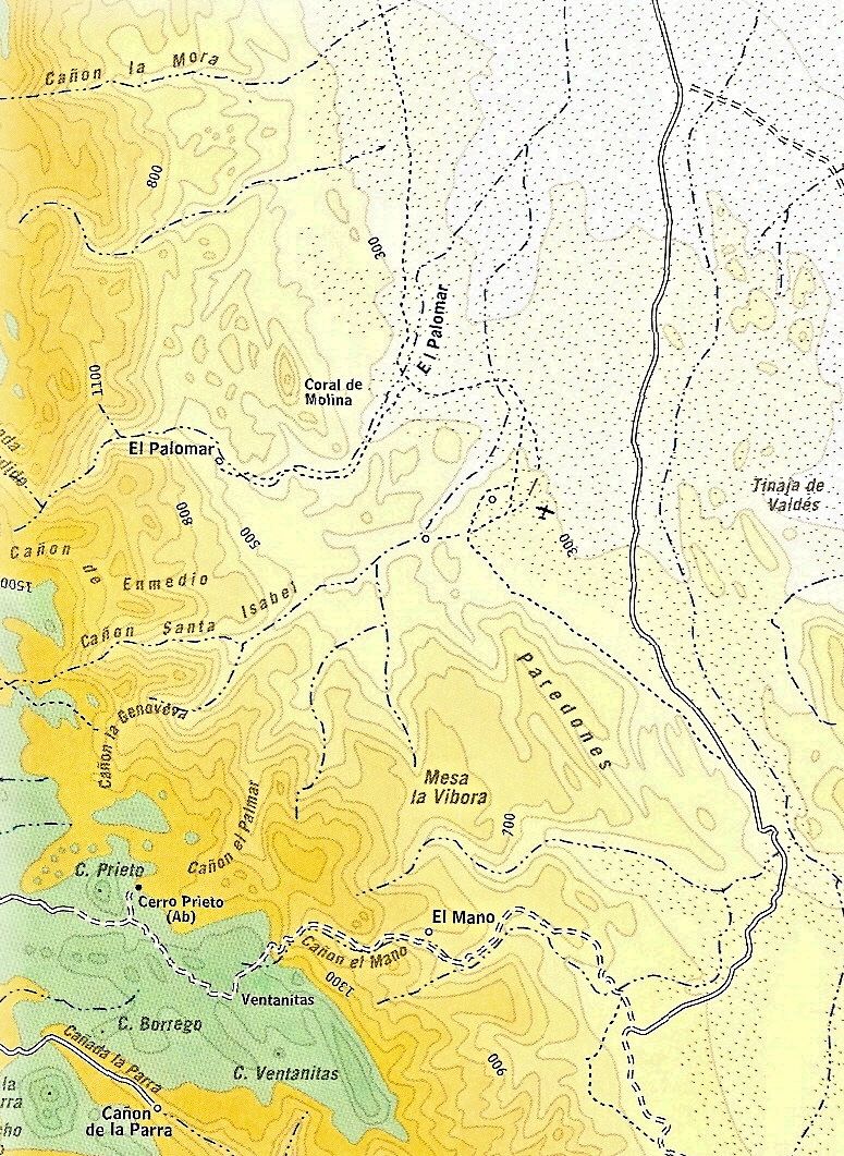
actually this place is 30 miles south of Guadalupe canyon..Its call Palomar canyon, with hot springs, but the water is nos as hot as Guadalupe
Canyon.'near this place is a trail that takes you from Laguna salada to Laguna Hanson... |
In 1958 I drove up Palomar Canyon in a 2-wheel drive ton and a half flatbed truck full of Sierra Club'ers & their camp gear to a Rancho in a huge
palm grove well up the canyon-----on a really good dirt road---------that road later washed out, and I was never able to return to that Rancho tho I
tried several times over the later years.
Palomar Canyon is a jewel, and huge!!!
Barry
You know, David, after looking at your maps, I am thinking that my memory might be failing me on this one------referring back to my post about the
1958 trip, perhaps it was Santa Isabel Canyon that we went up that trip--------I know I have camped several times in each of those canyons, but now I
am thinking the "Sierra club trip" that I drove the flat-bed truck up a canyon might have been Santa Isabel. (that was a long time ago)
Barry |
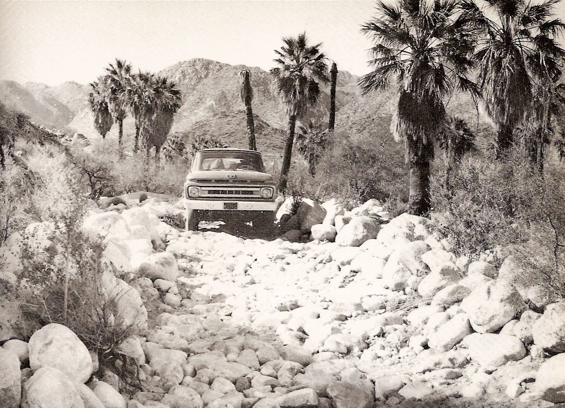
10 years later, in Erle Stanley Gardner's book (1968) the road in (and I recall BajaCat has a photo of this road with his Dodge on it):
 |


 so you know english is may second language i only have 3 years of schooling in the usa, therefore all my bad spelling shows all the time, but Im still
learning. the only thing that whe found was a old jacuzzi about 50 ft upstream from this hottub, that's connected by the same water source.. I didn't
hike up the canyon maybe the tub still there ...
so you know english is may second language i only have 3 years of schooling in the usa, therefore all my bad spelling shows all the time, but Im still
learning. the only thing that whe found was a old jacuzzi about 50 ft upstream from this hottub, that's connected by the same water source.. I didn't
hike up the canyon maybe the tub still there ...