Originally posted by The squarecircle
| Quote: | Originally posted by The squarecircle
| Quote: | Originally posted by Gadget
Maybe.
Which direction do you plan on going in from?
Accomodations and supplies are better on the Hwy 1 side, but it may be easier to go up then to go down so Gonzaga would be base camp? [/quot
Greetings All,
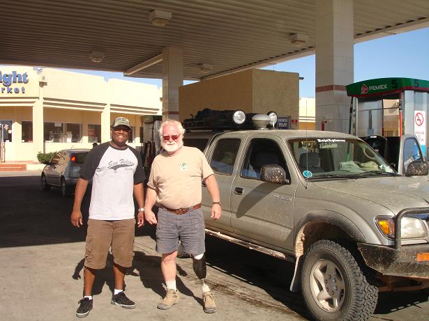
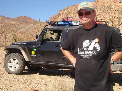
A special thank you to those NOMADS responding to the La Turquesa Trek. - BAJACAT/Fatboy/TW/ bajalou/Steve& ebby/ ebby/
Neal Johns/Gadget/David K.
1-- May 1, Thursday. Leave San Diego am head for El Rosario
and Baja Cactus Motel. Reservation required. Telephone
011-52(616)165-8700.
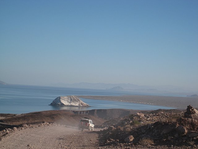
2-- May 2--3 Friday & Saturday. Drive M-1 to Laguna Chapala
>>> Coco's Corner >>> Las Arrastras de Arriola >>> La
Turquesa mine site >>> into the arroyo to start way-find-
ing and westward progress!
3-- May 4 Sunday. Celebrate the accomplishment and head
Home.
Regards, sq. |
Greetings All, >>>> BUMP this please!! >>>>Regards, sq. |
Greetings All,
Lets get it done! >>> Only 13 days until the La Turquesa Trek.
So far possible participances are,
1. BAJACAT
2. Neal Johns
3. TW
4. bajalou
5. Gadget
6. Steve&ebby
7. David K
8. CG
9. XRPhang
10. Ken Cooke
11. steekers
12. Ty Tipton
Any interested in caravaning all or partway to the mine site can meet in Tecate, U.S.A. gas station 0800 hrs May 1, 2008 thursday. > I have planned
some very interesting stops on the way to El Rosario, the first nite stop over. > See above itinerary.
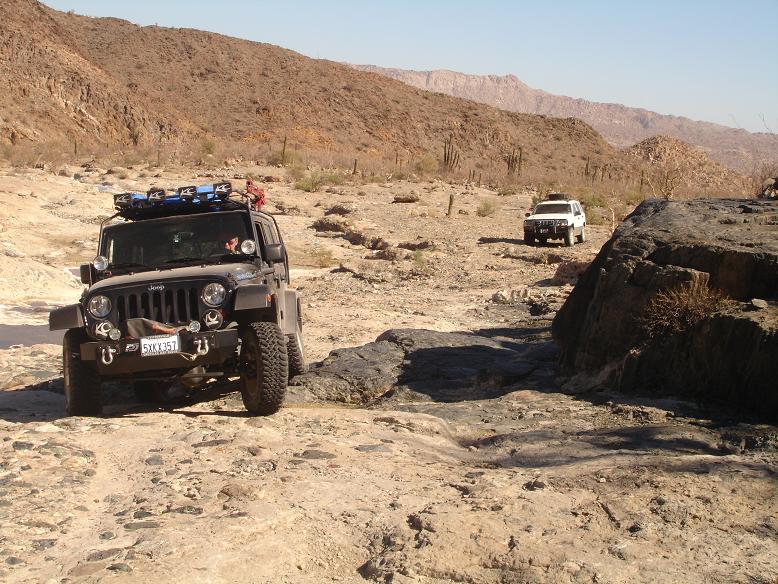
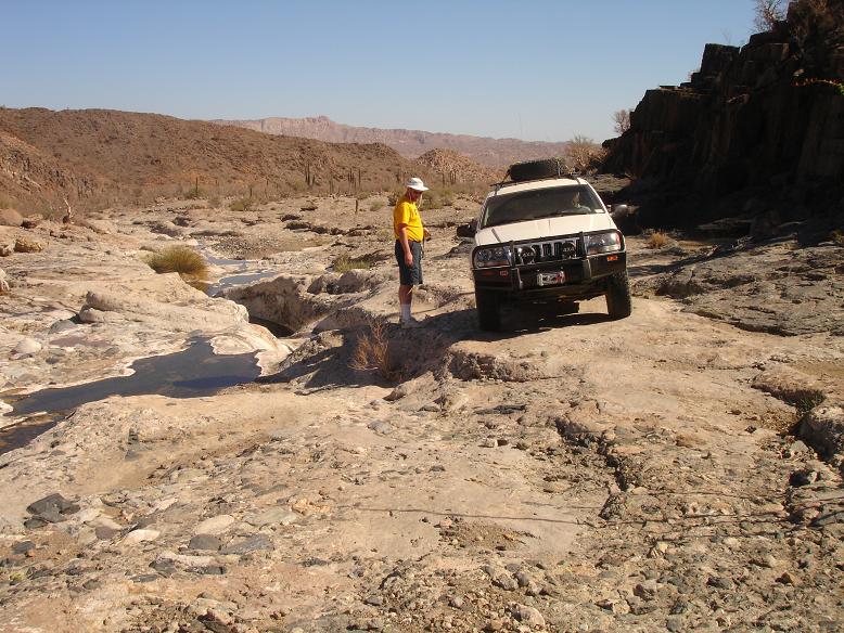
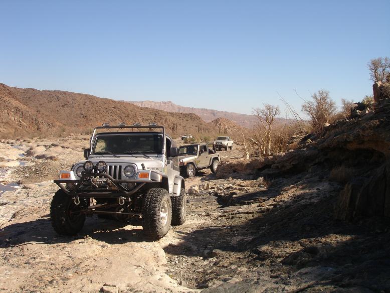
La Turquesa Trek is not an easy run and not for the faint of heart. > This is a challange to any 4X4 and has had much discussion on these BajaNomad
Forums. I suggest reading all threads on La Turquesa Trek before committing to this trek.
Lets start a new committment list here.
1. squarecircle
2. Richard Fisher
3.
+.
Happy trails, sq. |