Originally posted by dtbushpilot
| Quote: | Originally posted by udowinkler
My wife and I went there this past February.
Here are the changes:
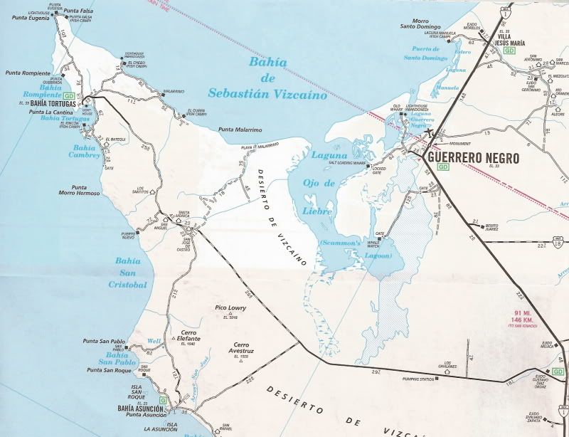
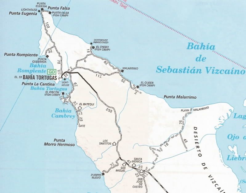
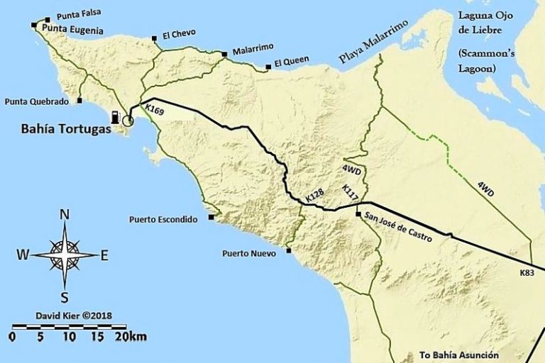
The main road from Vizcaino, as in your trip, was paved to just past the Bahia Asuncion turn-off. Then for about the next 50 miles is graded dirt with
some major loose sand spots that one would have to drive fairly fast to kinda coast over the loose spots.
The last 15 miles to Bahia Tortuga is paved and they are feverishly working on paving the rest to meet the paved part coming out of Vizcaino. I am
sure that Shari has a more recent update than this.
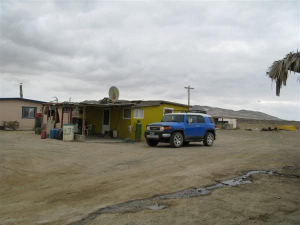
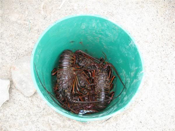
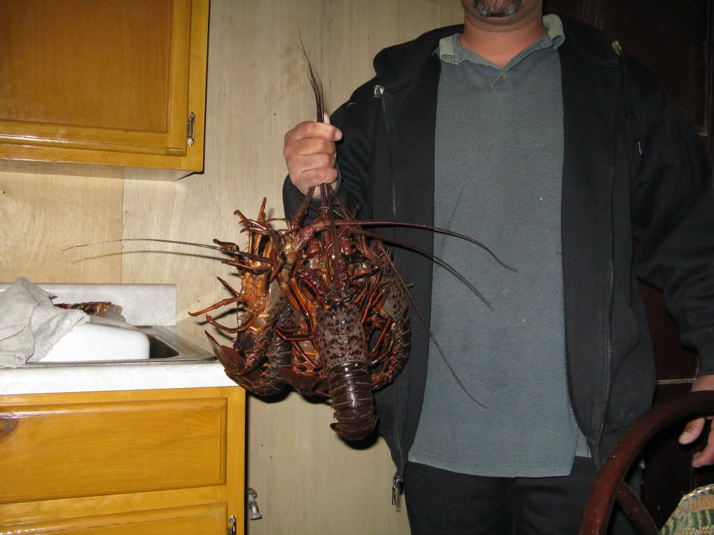
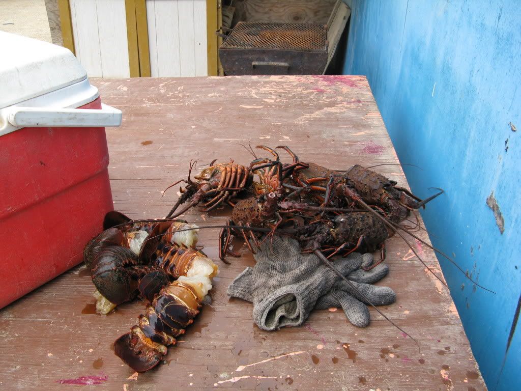
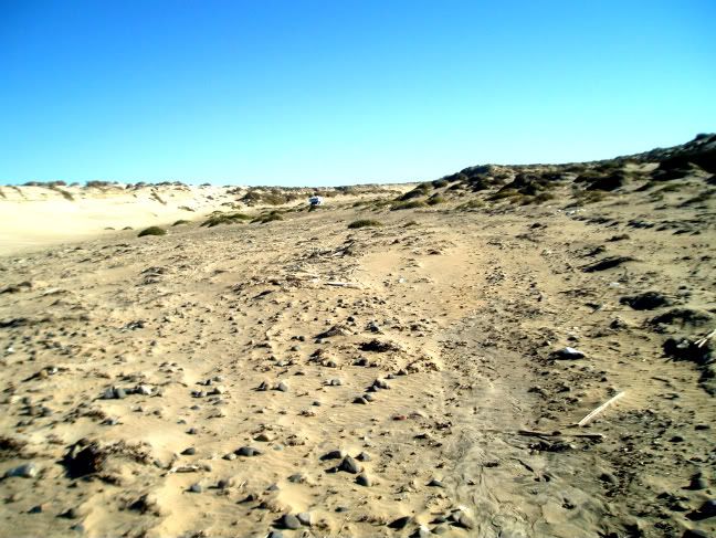
dtbushpilot actually turned way too early to make it to Malarrimo beach. If you make the right turn at the sign that designates the beach and fish
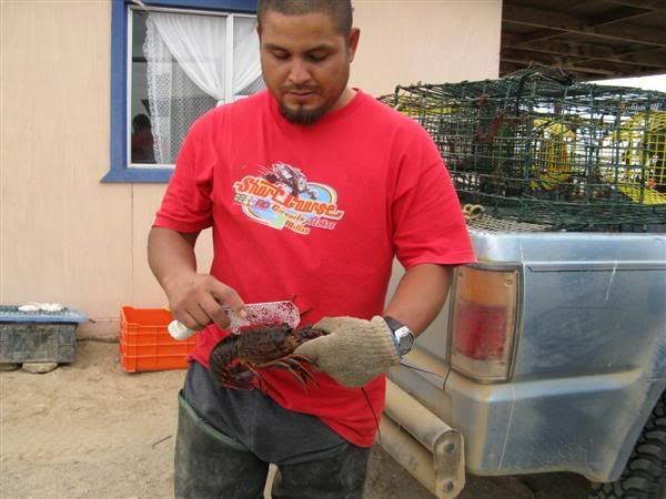
camps (where we ate several lobsters free of charge from the local fishermen), you could have easily made it to the beach. The road could easily
accomodate a 32' +- RV.
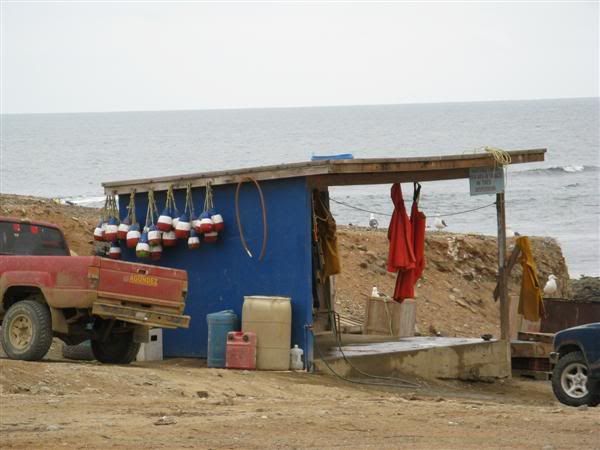
The surfing there is also primo, with the average ride on a south swell being about 1 1/2-2 minutes.
Bring some freebies to the fishermen at both camps, speak some Spanish, and you'll eat for free. Bahia Tortuga is about 1/2 hour away and there are
TWO Pemex stations in town. Pay a visit to the town...you'll be surprised! |
Thanks for the update udo,
We went to Tortugas, Asuncion and Campo rene on the same trip after Malarimo. I'll post more later.
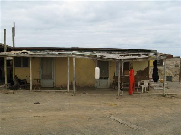
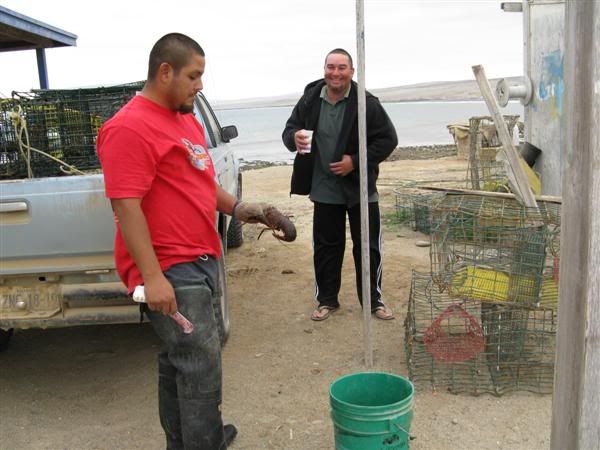
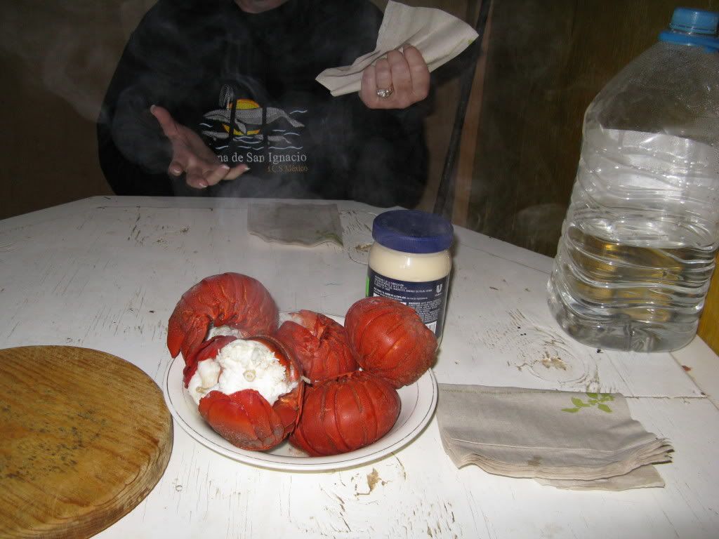
We had lobster with the locals the day we arrived at Tortugas. What an expirience, what beautiful people.
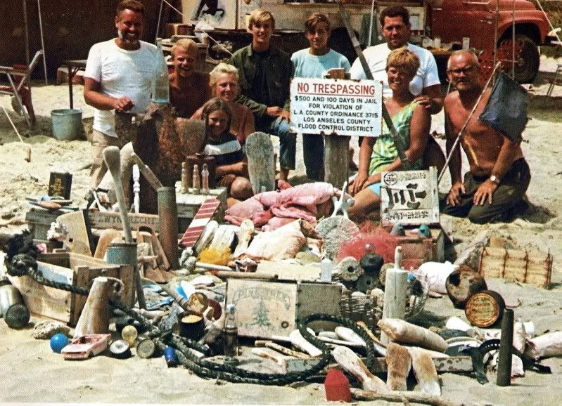
I believe the road you are referring to goes to Malarimo the town (fish camp). The scavenging beach is quite a ways to the East of there.....dt
|

 [/img]
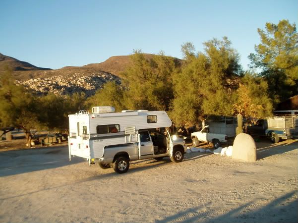 [/img]
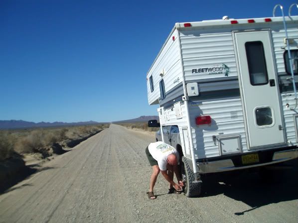 [/img]
 [/img]
 [/img]
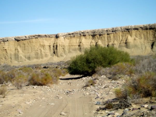 [/img]
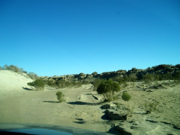 [/img]
 [/img]
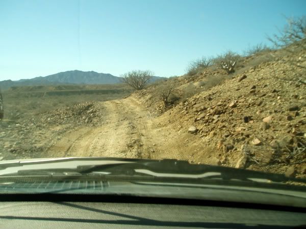 [/img]
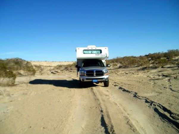 [/img]
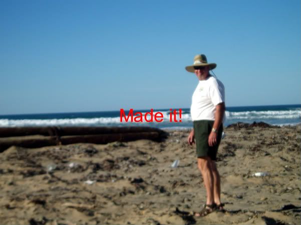 [/img]
 [/img]
 [/img]
 [/img]
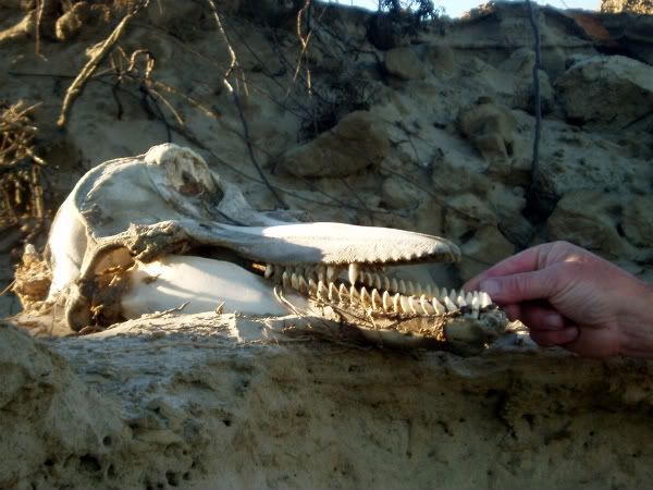 [/img]
 [/img]
 [/img]
 That must be the skull of a young
dolphin, still has it's teeth.
That must be the skull of a young
dolphin, still has it's teeth.
 A real Nomad. Thanks for the nice report.