
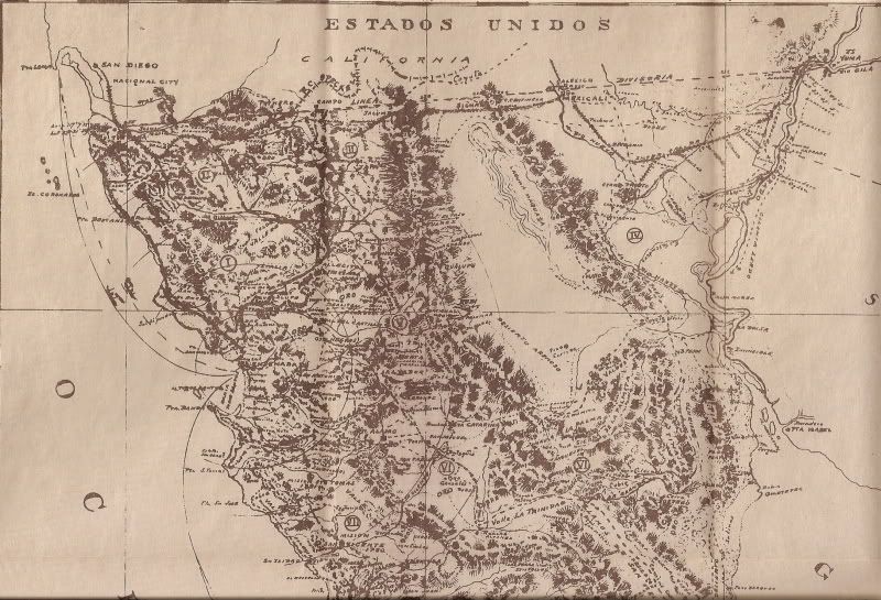
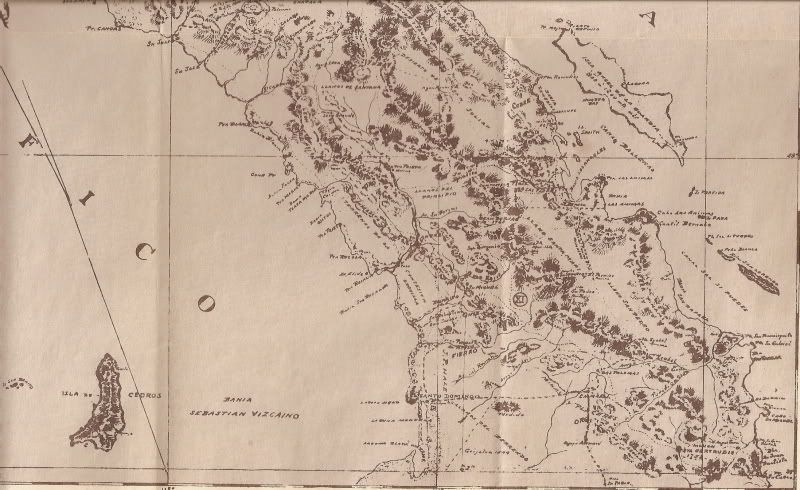
David K - 11-12-2008 at 09:58 AM
There is an interesting biography on Ensenada's famous Sr. Goldbaum that needs to be shared... look to it in the near future. In the meantime, here is
his 1919 Baja Norte map that was included with his 1918 survey of the towns of Baja California's northen district.
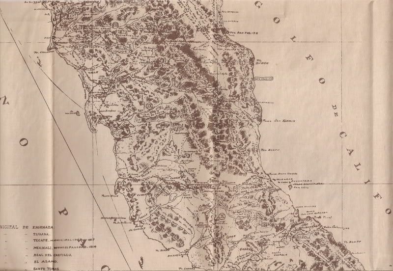
David K - 11-12-2008 at 10:11 AM
Notice on the middle section, I circled on the gulf coast, south of San Felipe... It is "Agua Charley"... that is the original name that locals
changed to 'Agua de Chale'... today's Nuevo Mazatlan!
The well 'Agua Charley' was named for 'Charlie the Chinaman' who dug it to water his goats. That is according to Marion Smothers, author of 'Vintaga
Baja' c1993 in the chapter 'Incident at Agua de Chale' pg. 54.
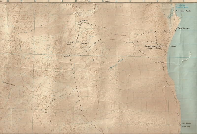
1974 topo map Bahia Santa Maria
David K - 11-12-2008 at 11:10 AM
Here is the area of Nuevo Mazatlan with 'Agua de Chale' included on the 1974 Mexican topo map.
Mexitron - 11-12-2008 at 08:04 PM
Nice--love those old maps--thanks David!
David K - 11-13-2008 at 09:07 AM
De nada Mexitron... It was something I have been wanting to do for awhile!
I have these things, I have a scanner, and lately I have some light days of work that allowed me the time to scan, edit, photobucket, and post.
For the Nomads: I would be happy to email the high resolution scans if you just tell me which map section you need more detail of.