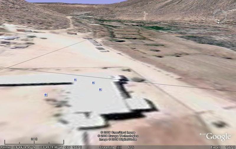
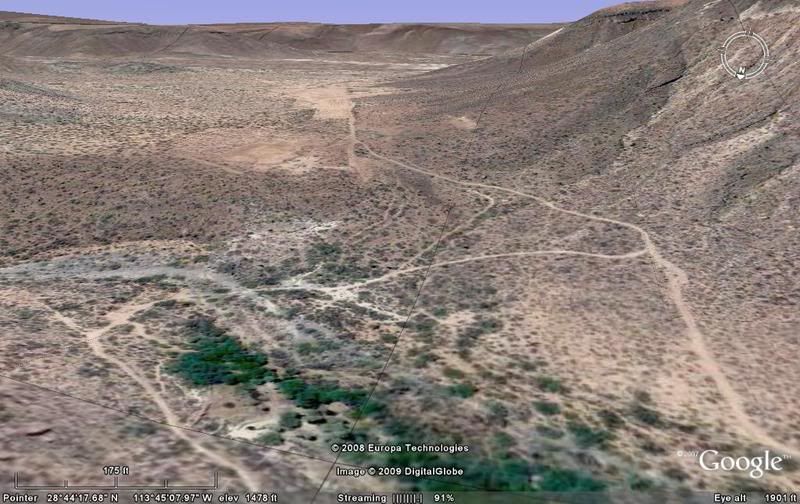
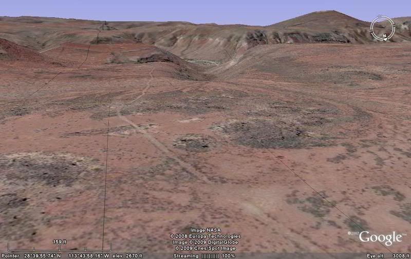
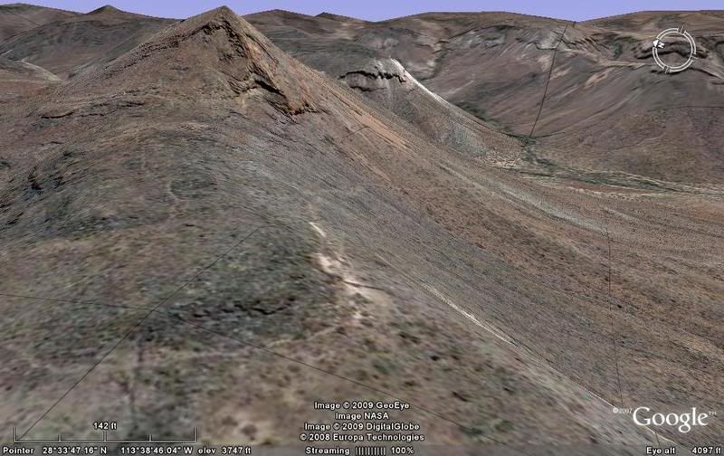
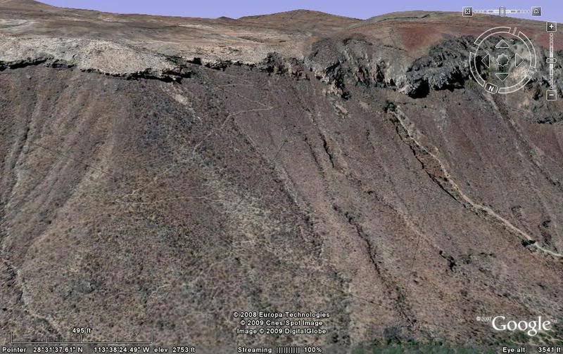
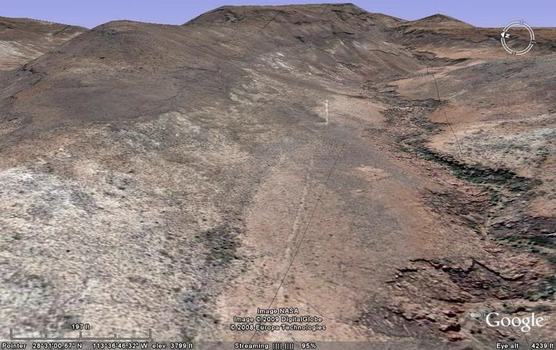
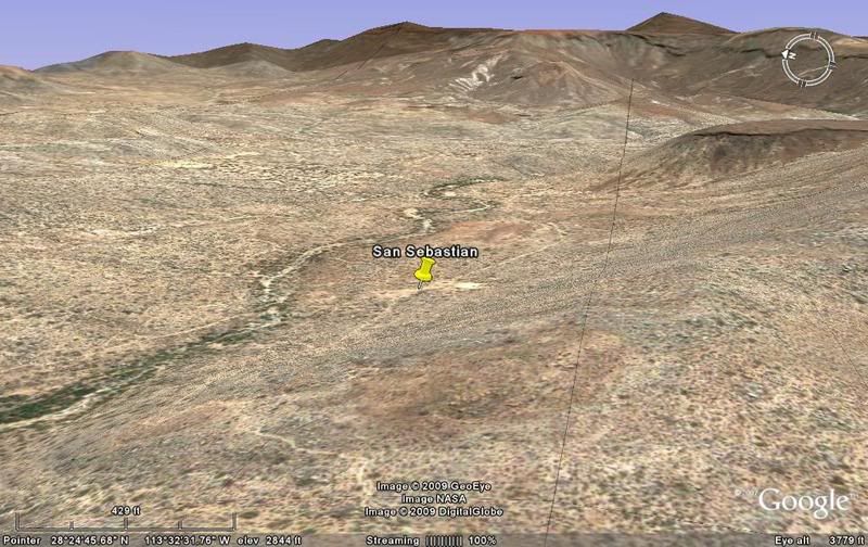
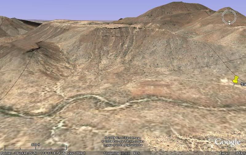
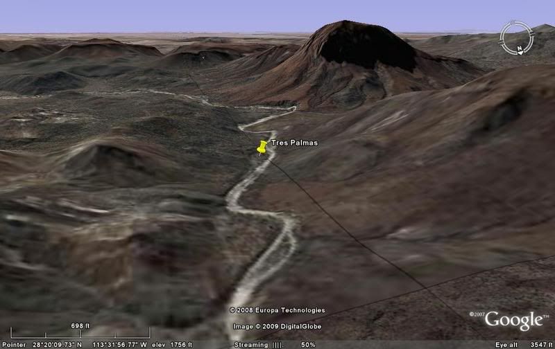
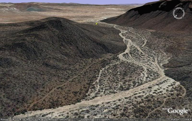
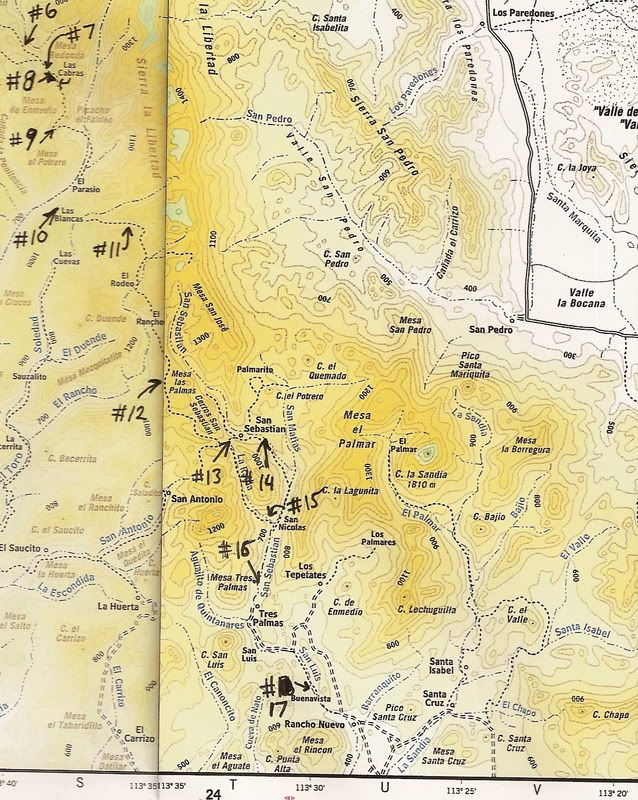
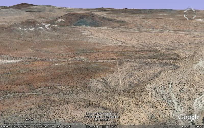
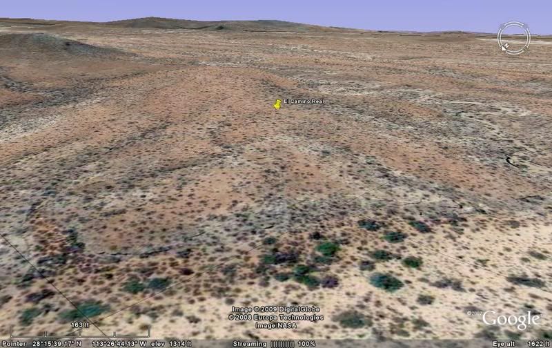
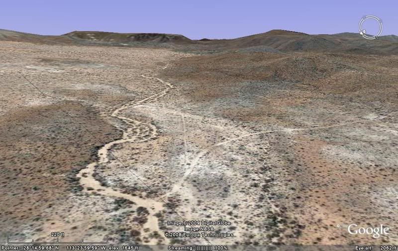
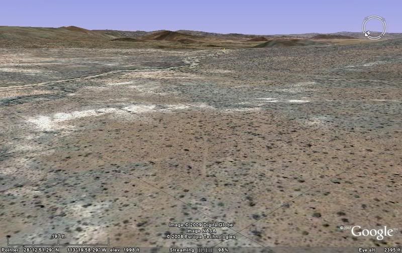
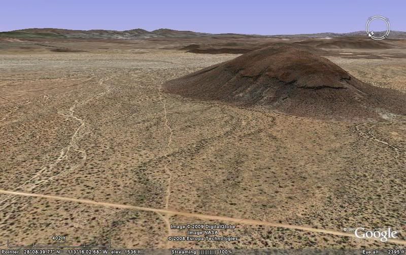
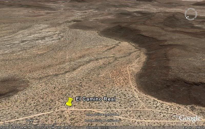
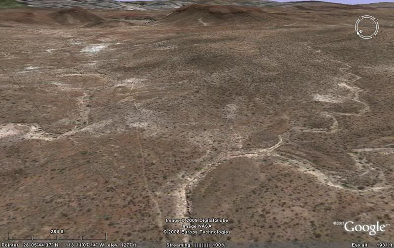
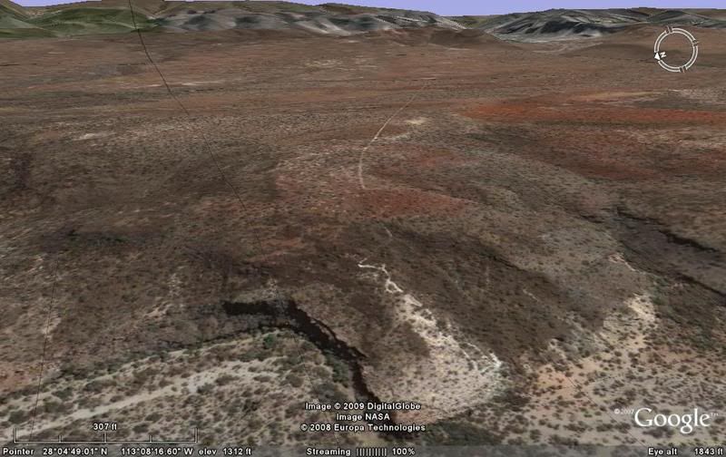
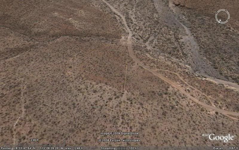
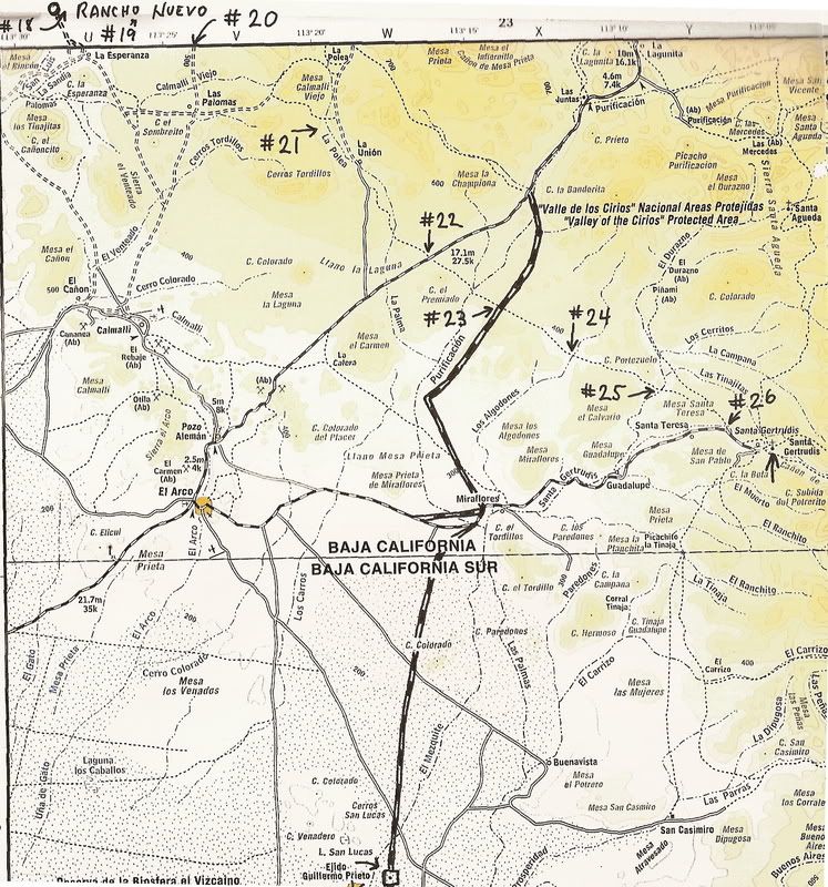
Quote: Originally posted by David K  | Close up of the Camino Real area... The numbers are the photos/ satellite images... Number one is San Borja, at the top... another map is below after
the next group of photos...
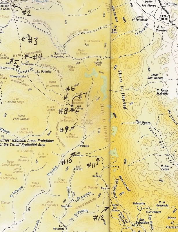
[Edited on 12-25-2008 by David K] |
Hi David,
This is a really interesting post, me and my family will be doing a "Central Baja Loop" (http://forums.bajanomad.com/viewthread.php?tid=78833#pid9811...) in early fall and I have done some research as to where our path will cross the
ECR, it seems like this will happen when we drive back from Santa Gertrudis, north of Miraflores, SSE from Cerro El Premiado on our way to El Barril,
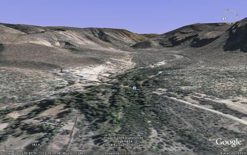
as I was following the ECR trail from Santa Gertrudis to San Borja I noticed that on the 2009 Baja California Almanac point #10 is named as "El
Paraiso" instead of "Las Blancas" (names switched) The post "Las Flores" by "vacaenbaja" (http://forums.bajanomad.com/viewthread.php?tid=57252) shares very interesting info on BoLA and will guide our exploration path on this trip as
well. If you have any suggestions for our LOOP (http://forums.bajanomad.com/viewthread.php?tid=78833#pid9811...) please share it, this will be an exciting adventure and education for our family
specially for my children. |