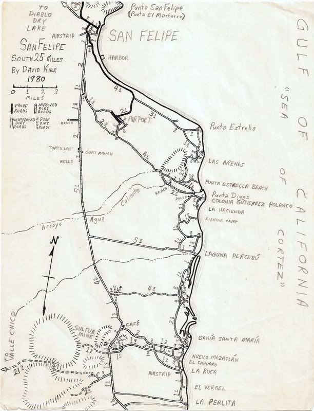
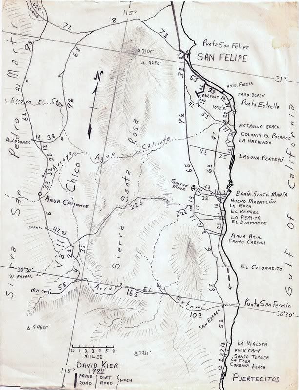
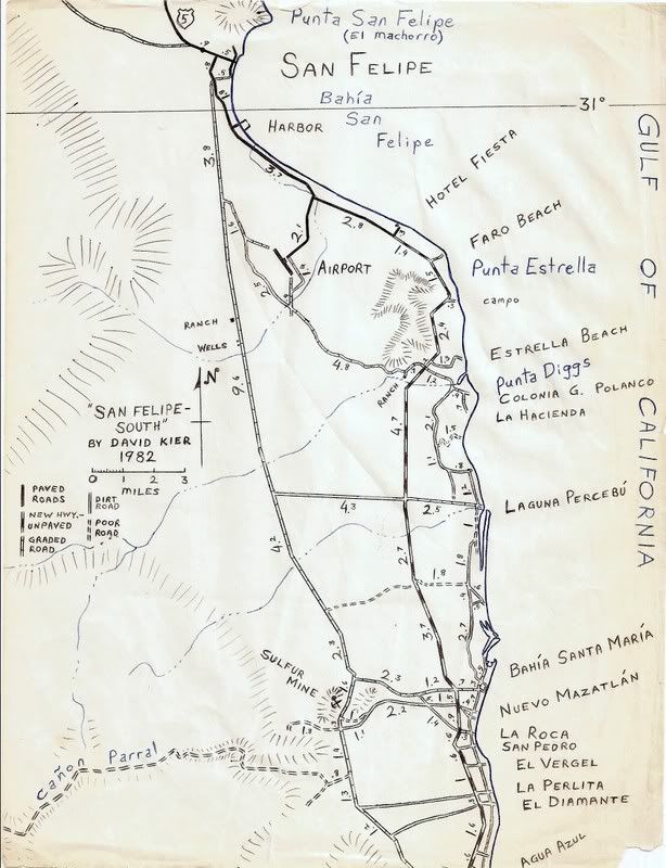
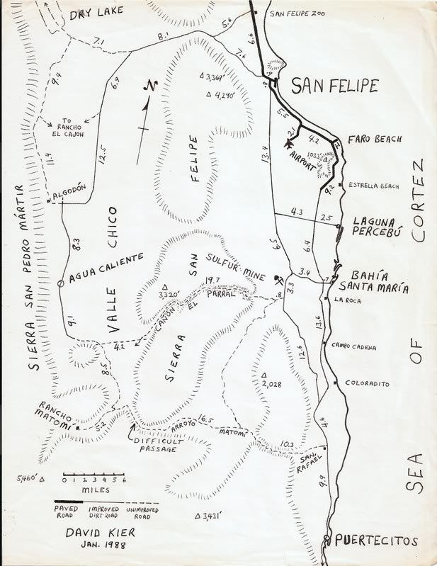
Originally posted by Barry A.
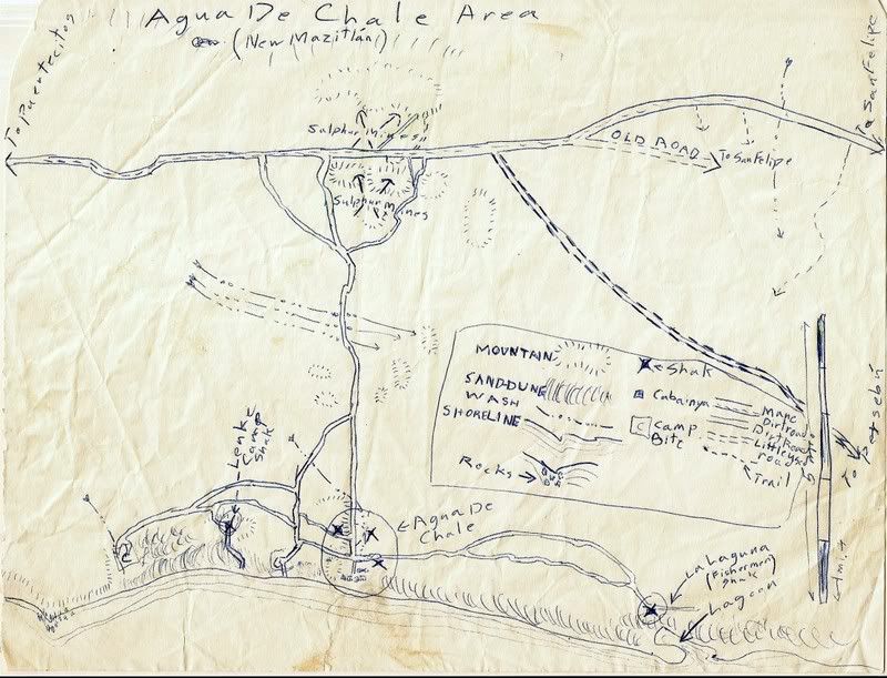
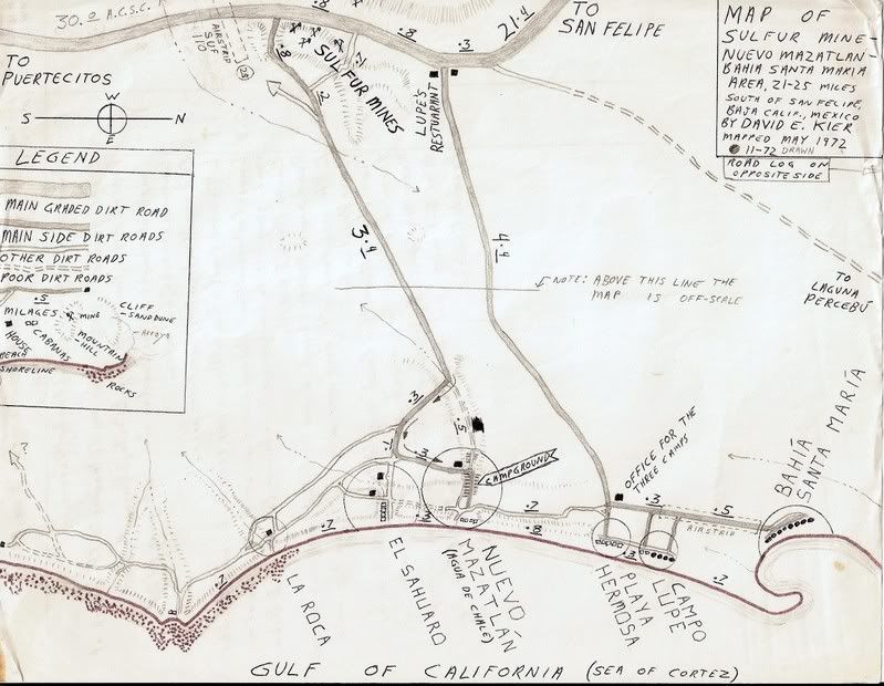
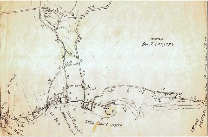
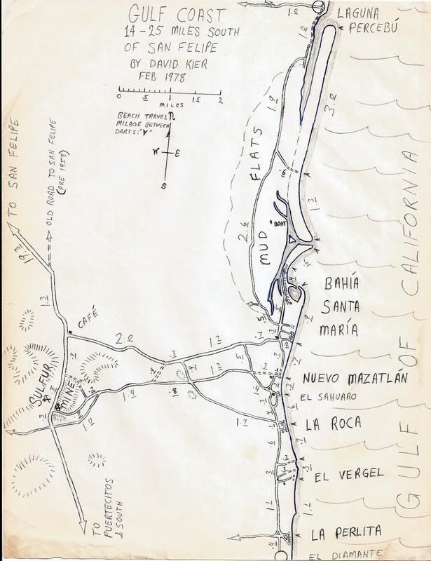
David-----------It is great to see how your map-skills progressed over the years----------those are really GREAT maps, all of them. I KNOW you
really had fun making them, and ground-truthing all the details and mileages-------I did some of the same, but never as professionally as you have
done.
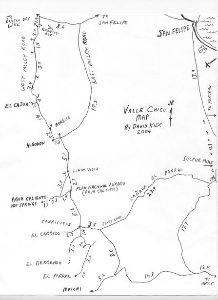
What kind of shape was the "Canada el Parral" road to Valle Chico in when you found it?? (love that road) Were you able to make it thru to Valle
Chico in your Subaru??
I have camped right on the "pass" at the top of that canyon several times and it is a wonderful, quiet place to camp.
Barry |