Originally posted by Mexitron
You know if you keep this up I'm going to quit my job, get in my truck and come check out all these spots you keep posting--my wife will not be
pleased, so stop it! 
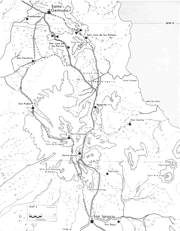
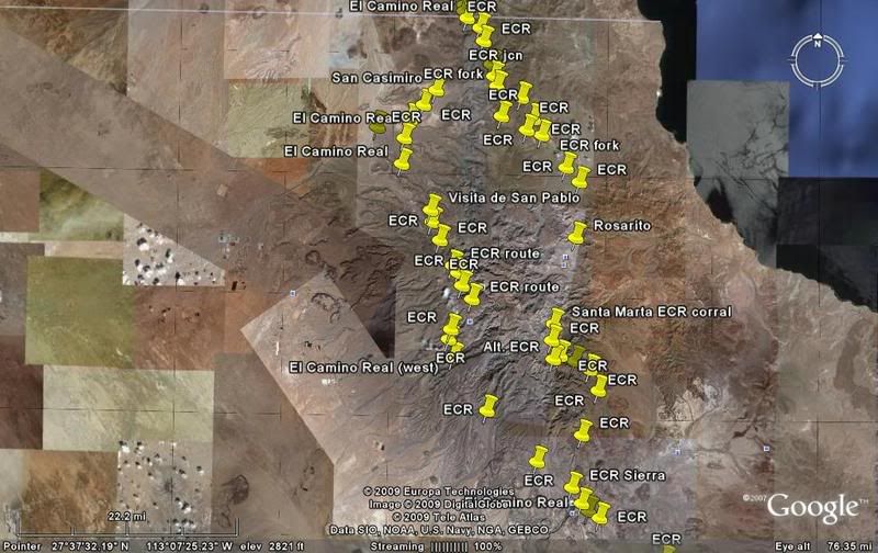
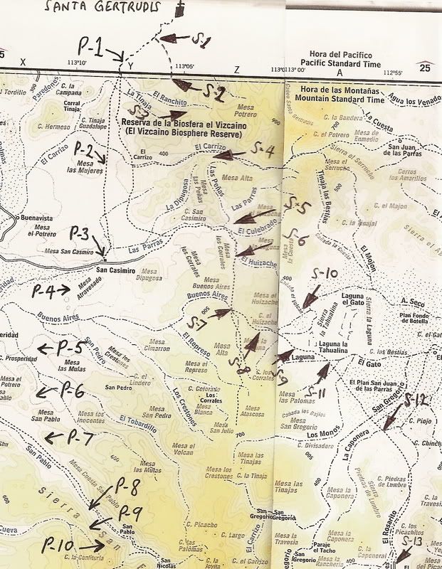
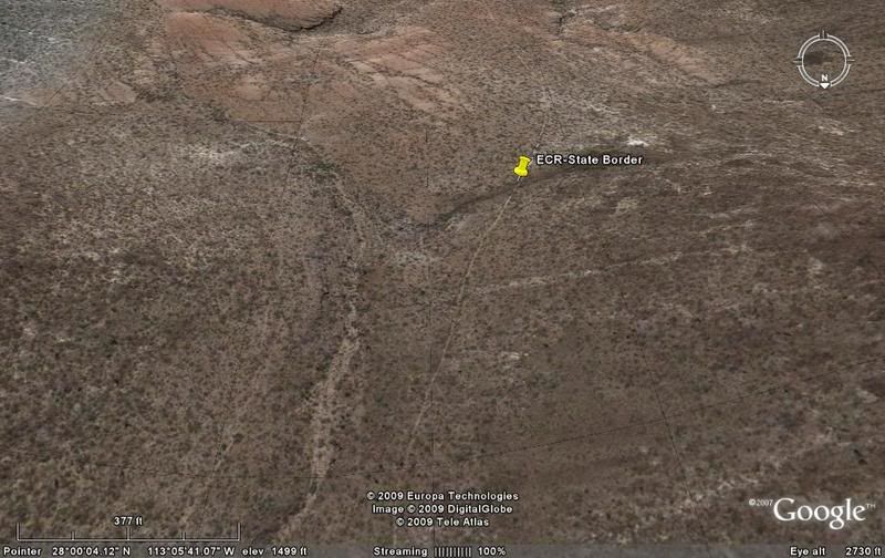
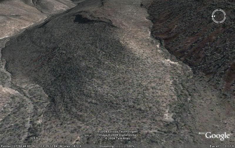
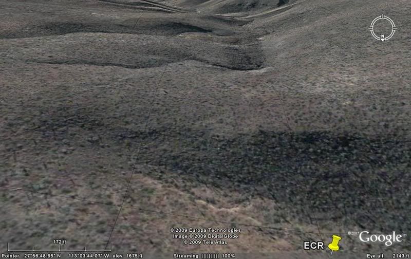
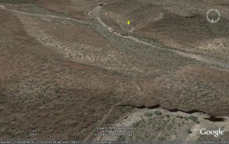
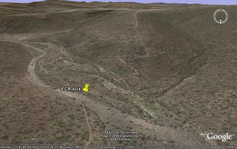
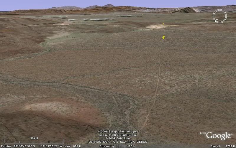
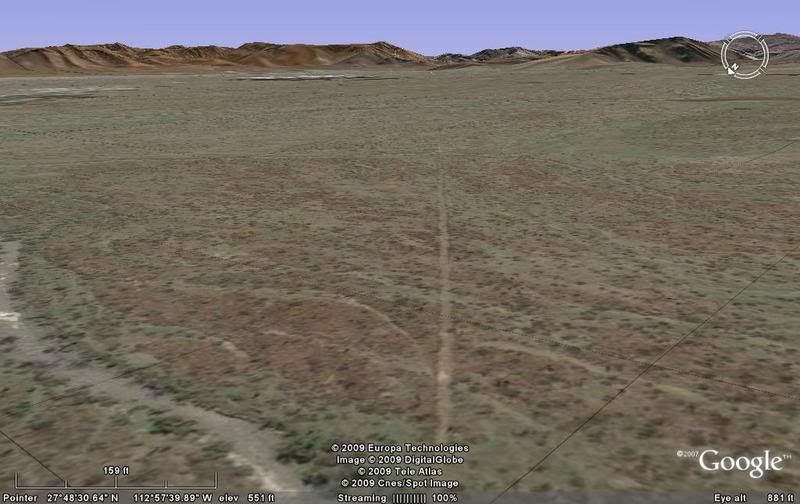
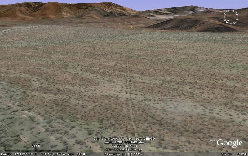
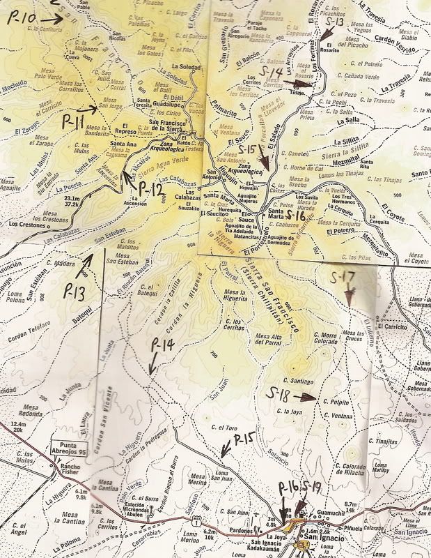
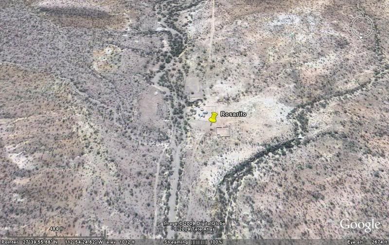
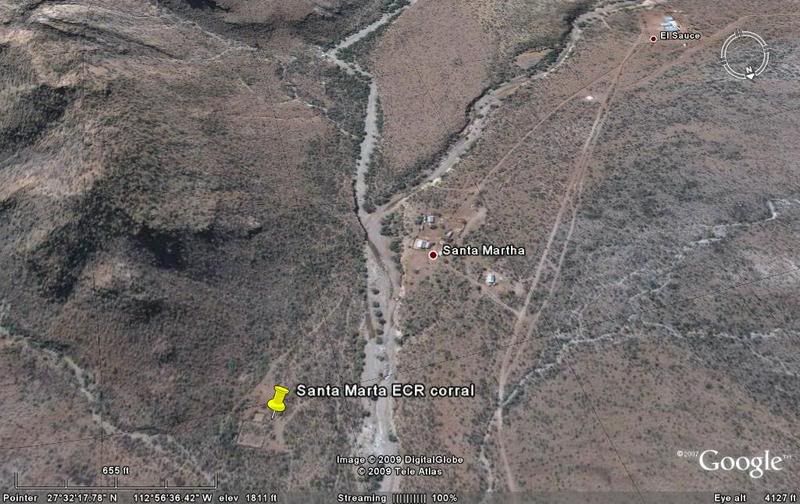
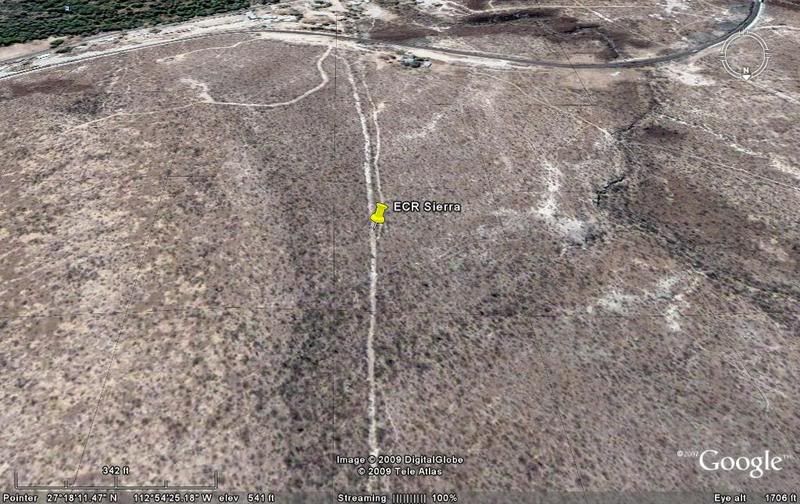
Awesome David--really enjoy all the hard work you put into these virtual excursions! I wasn't aware that you could travel by road from Gertrudis to
San Ignacio via Santa Marta--or is that not a road I'm seeing, just the trail... |