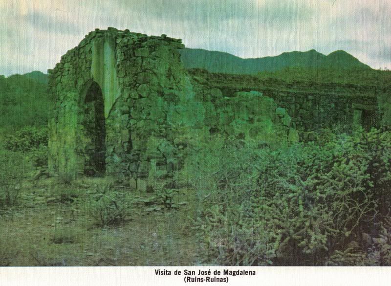
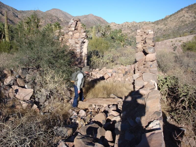
Originally posted by bajaamy
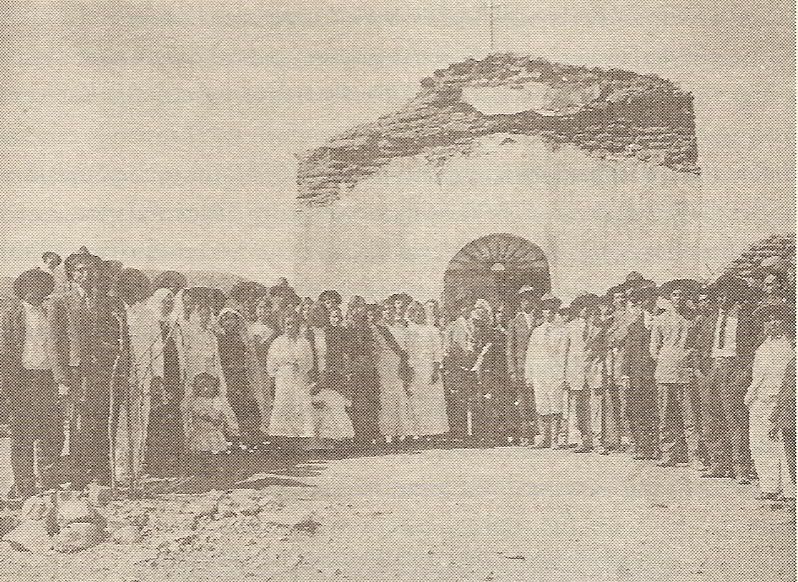
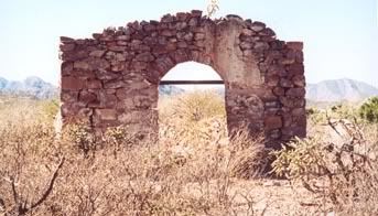
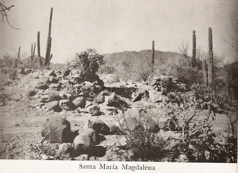
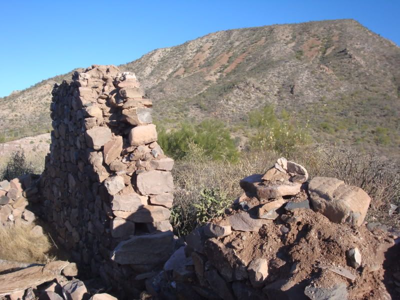
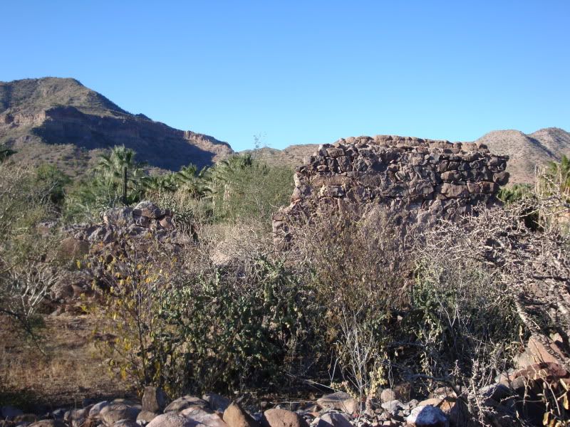
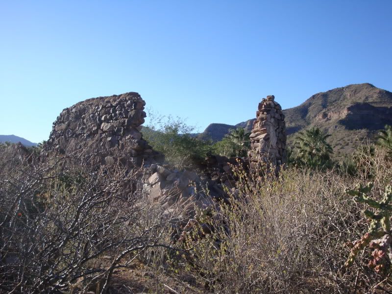
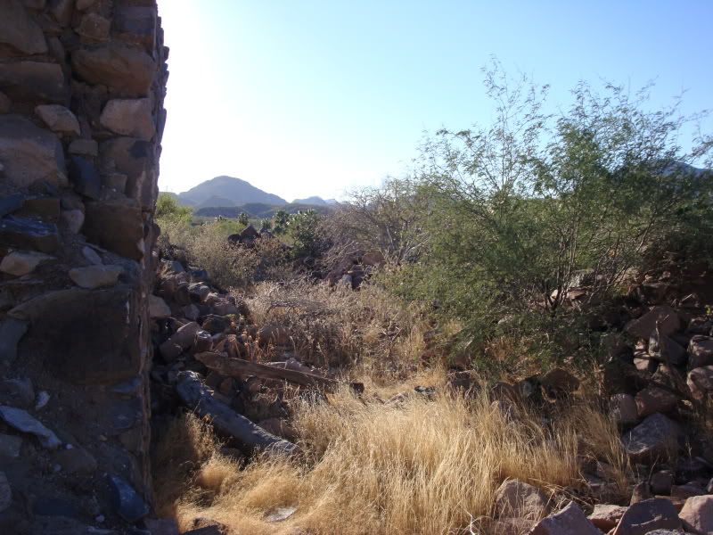
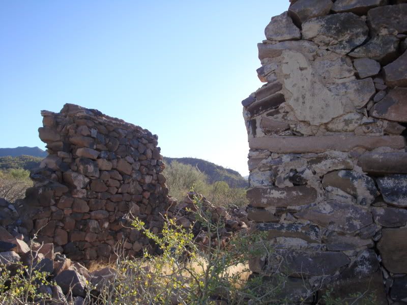
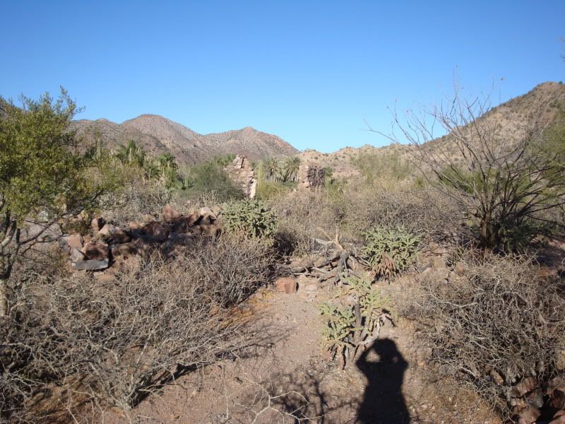
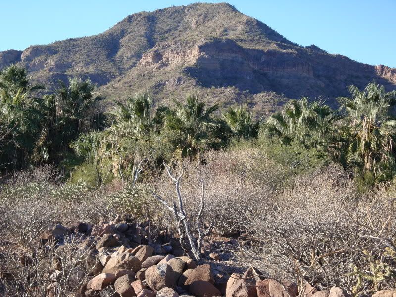
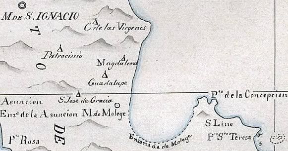
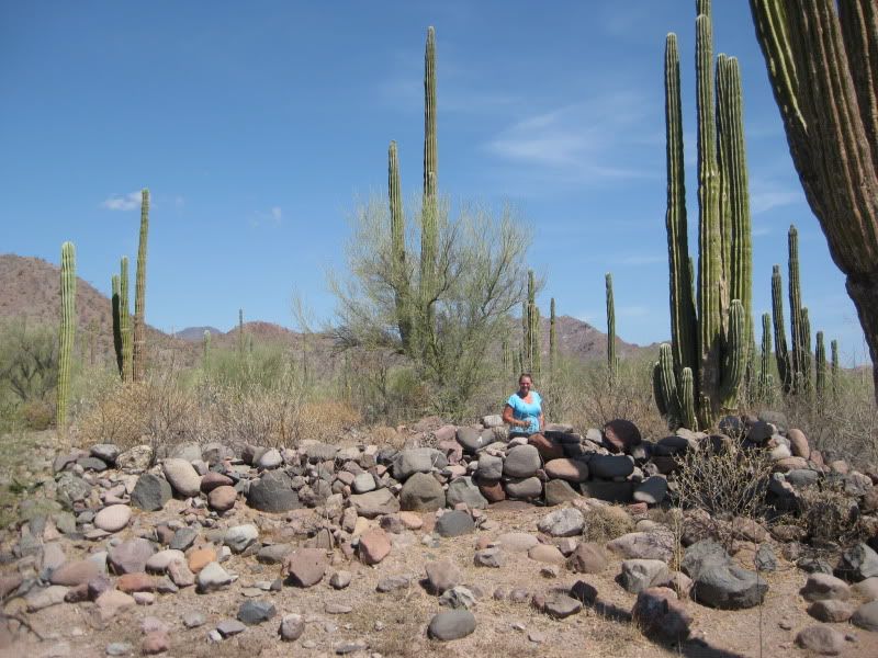
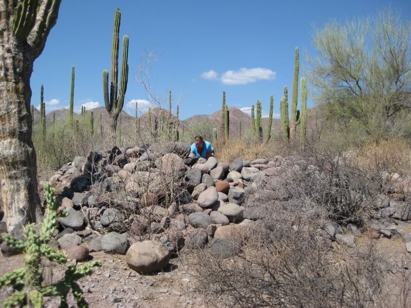
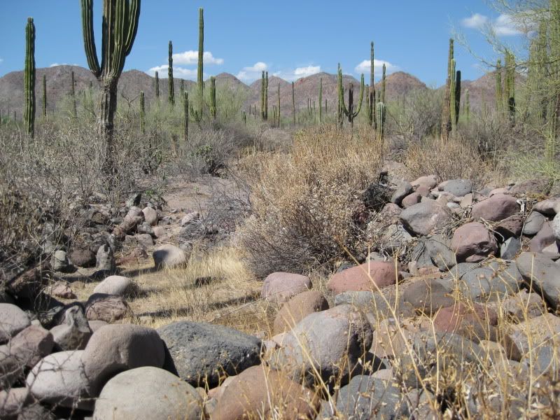
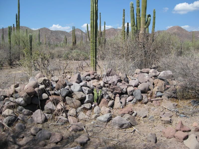
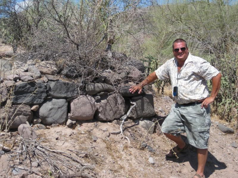
Here's another snippet about the stone chapel from Michael Mathes, and a scanned photo of the San Jose de Magdalena chapel from Mathes's book.
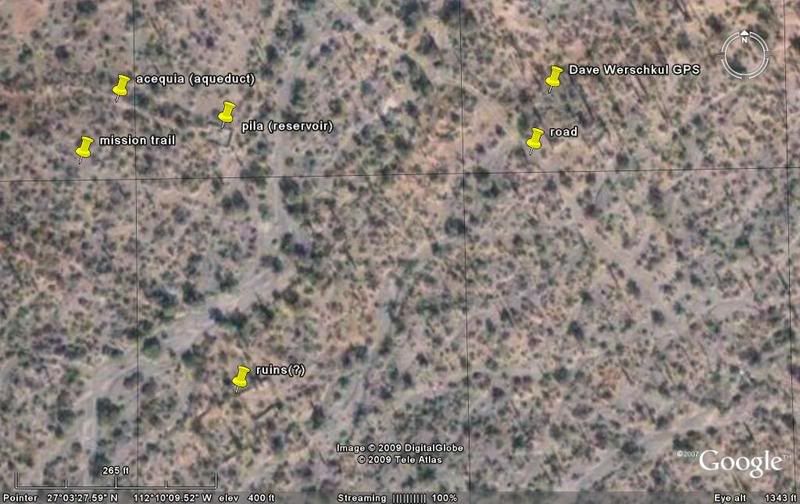
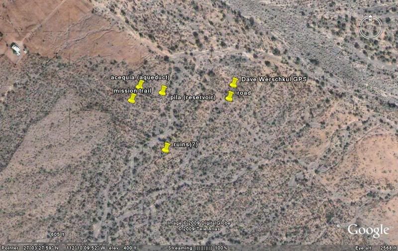
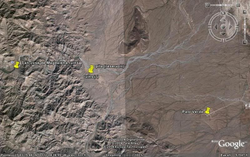
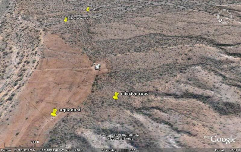
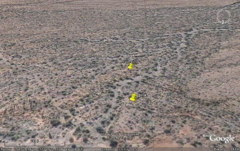
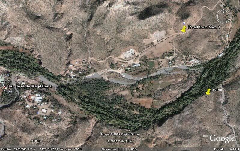
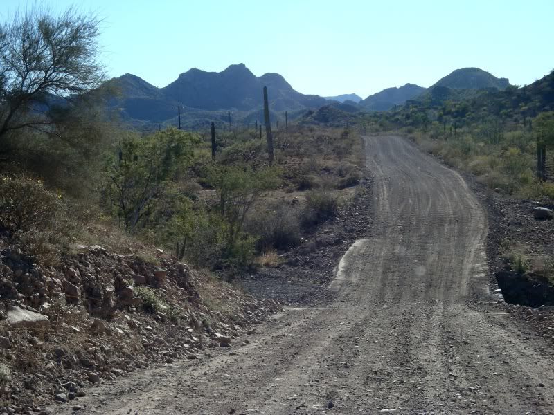
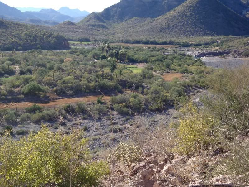
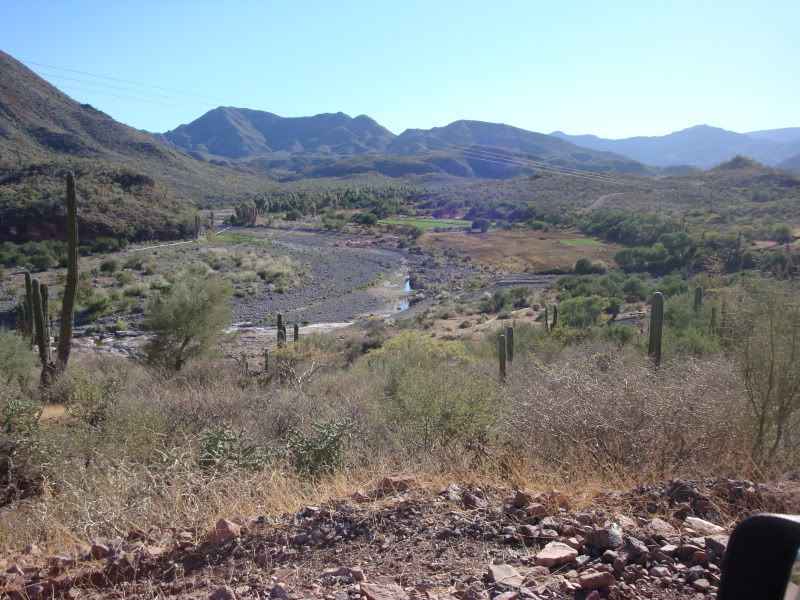
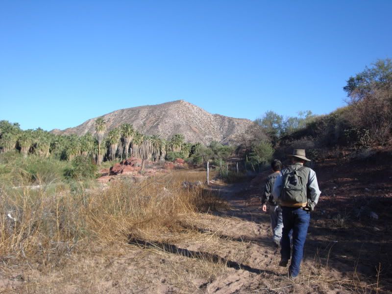
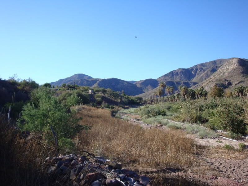
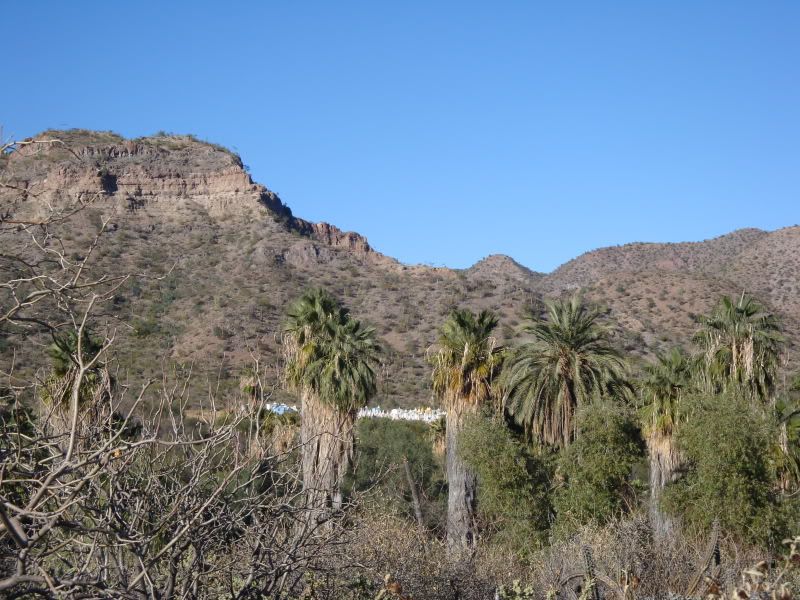
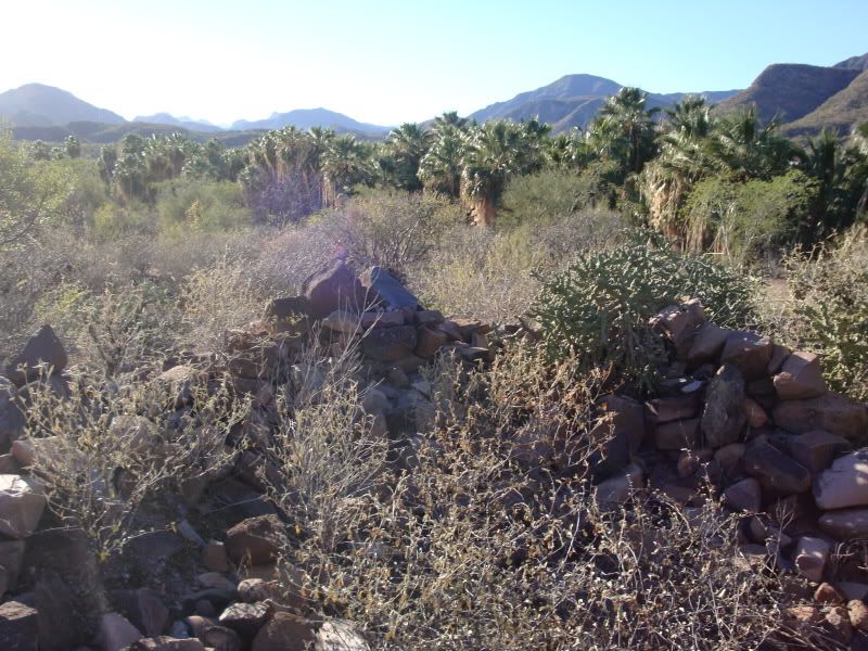
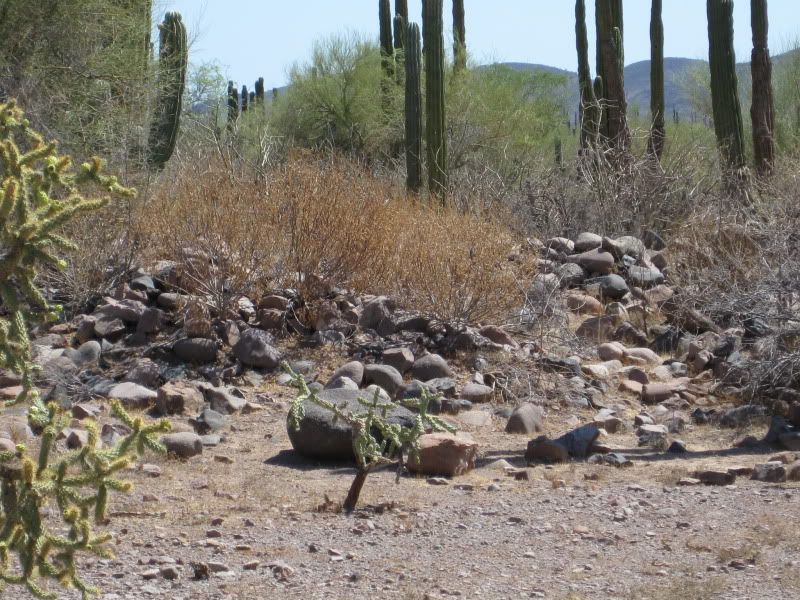
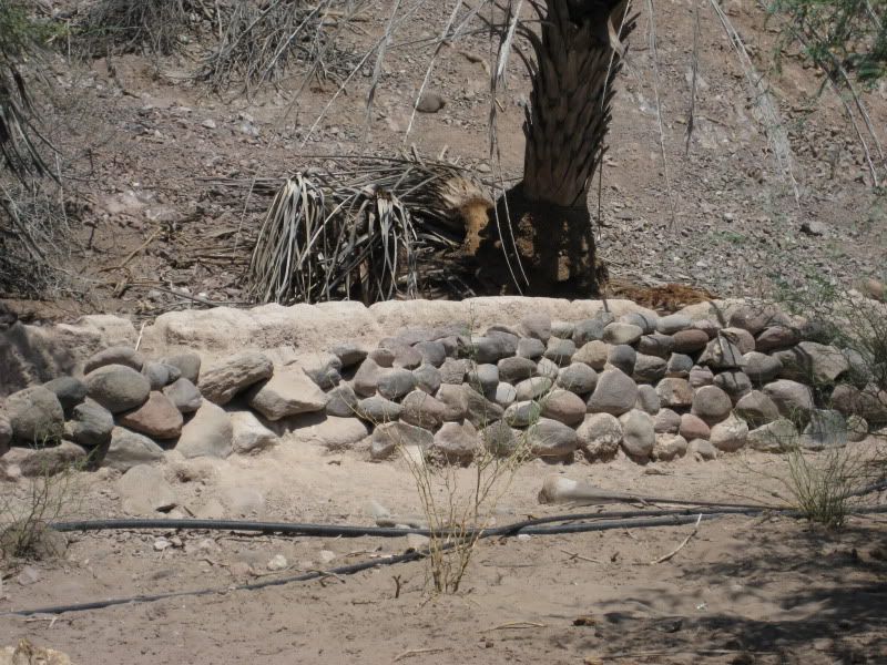
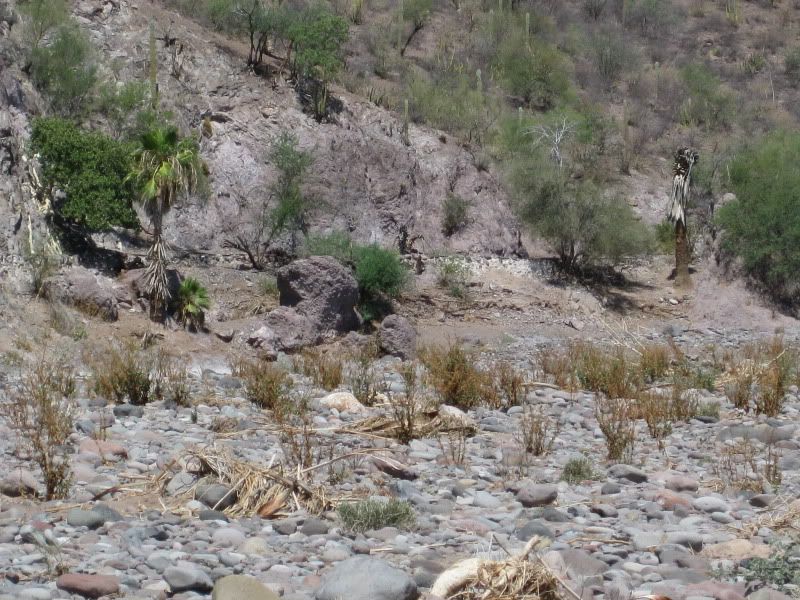
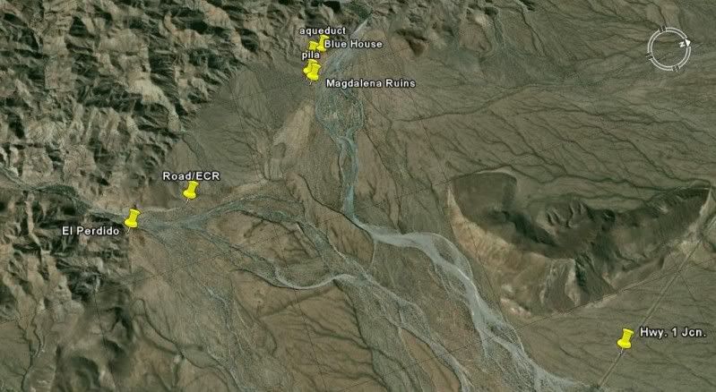
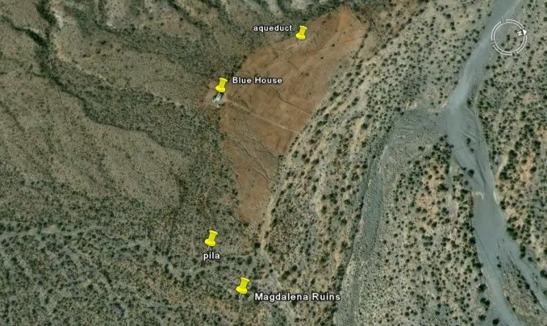
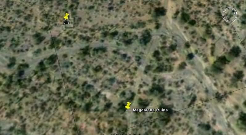
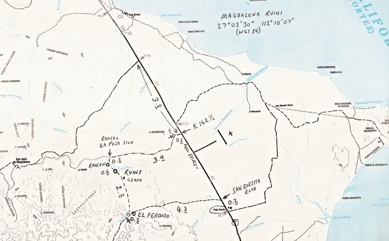
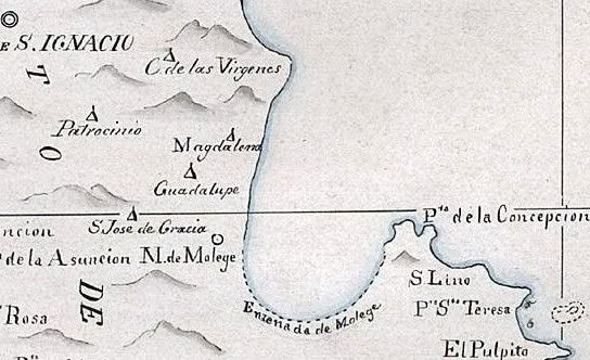
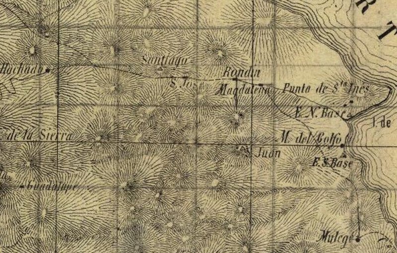
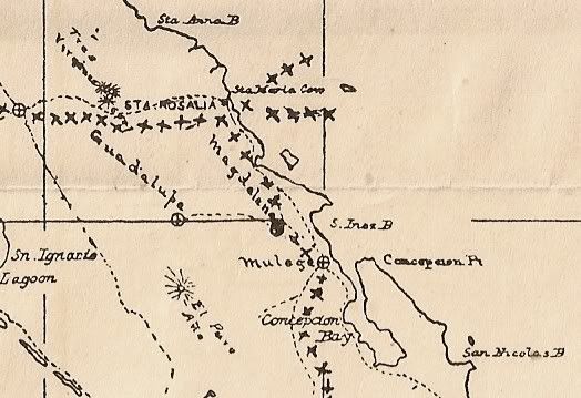
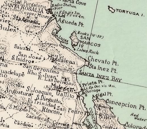
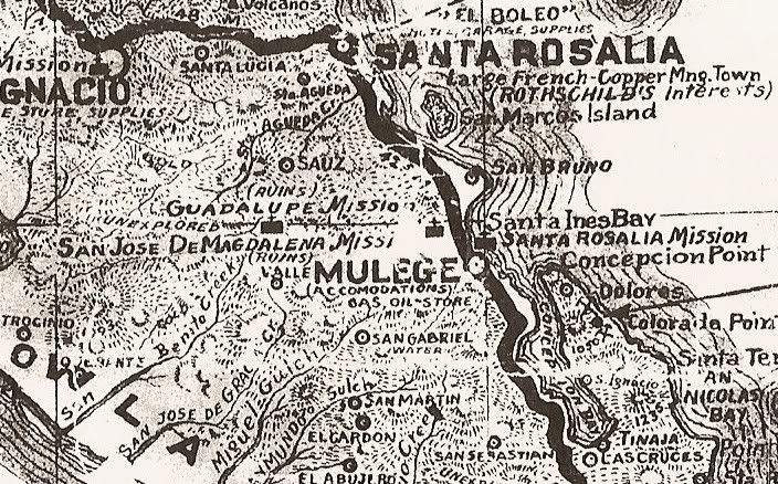
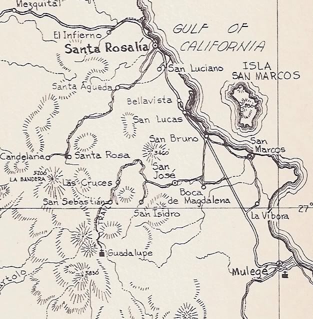
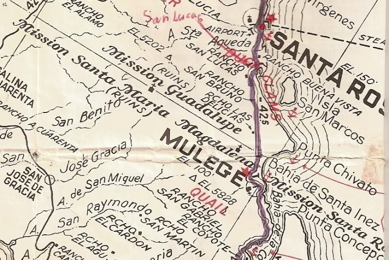
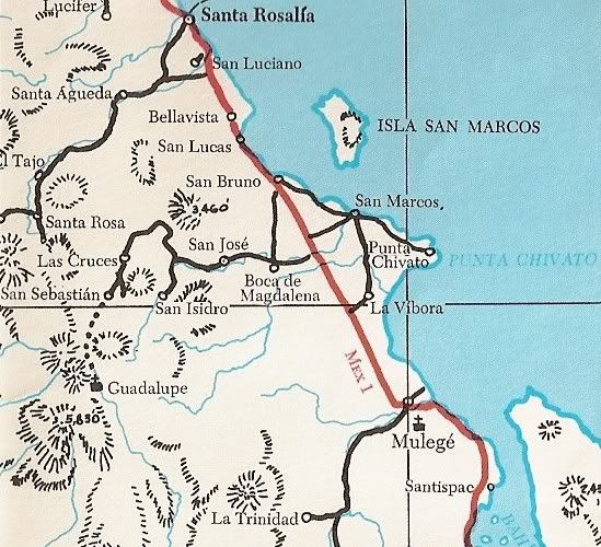
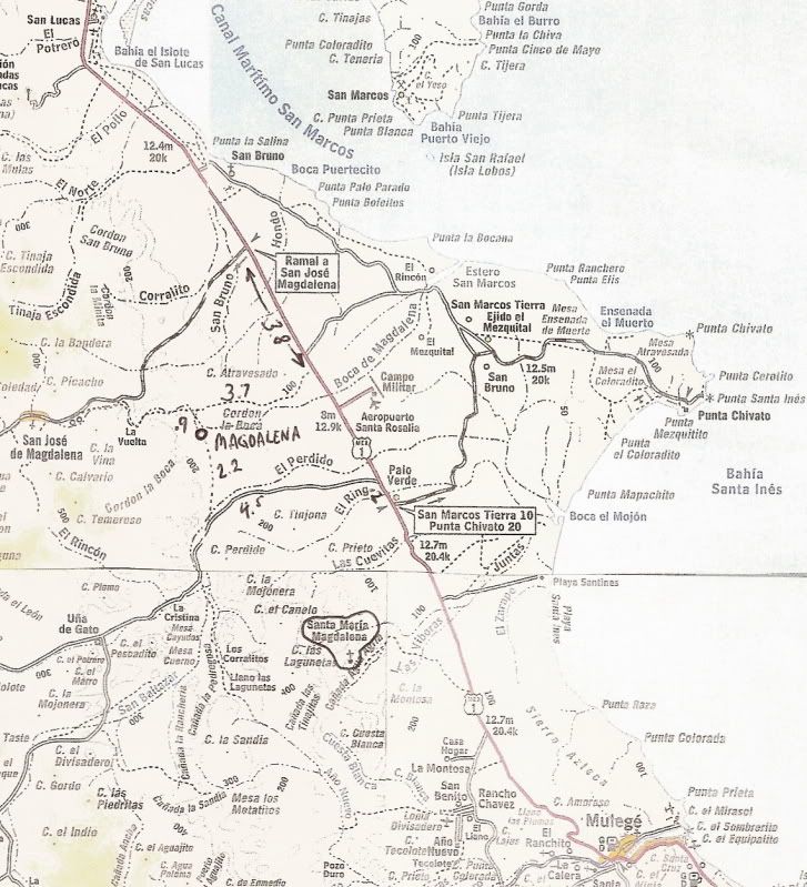
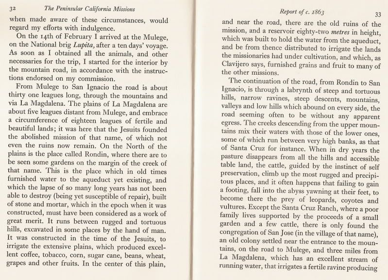
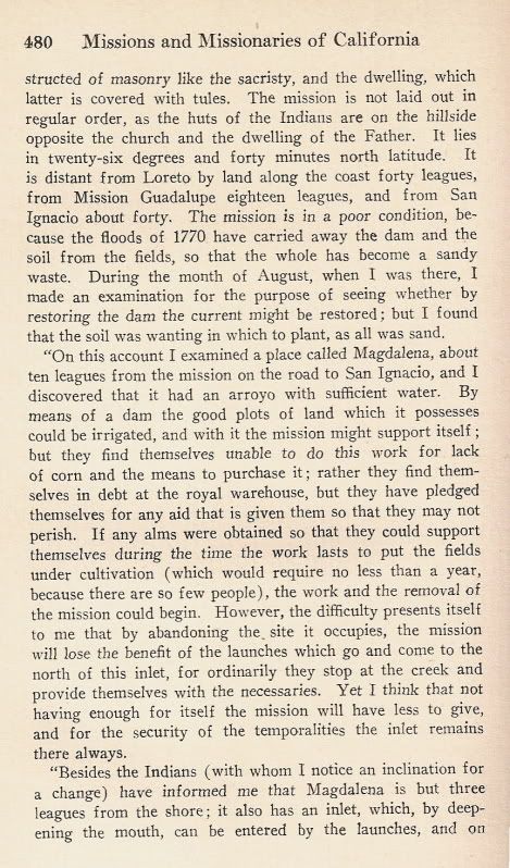
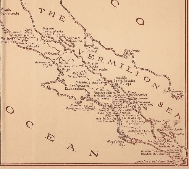
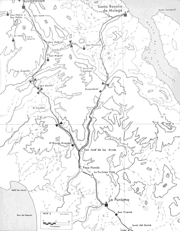
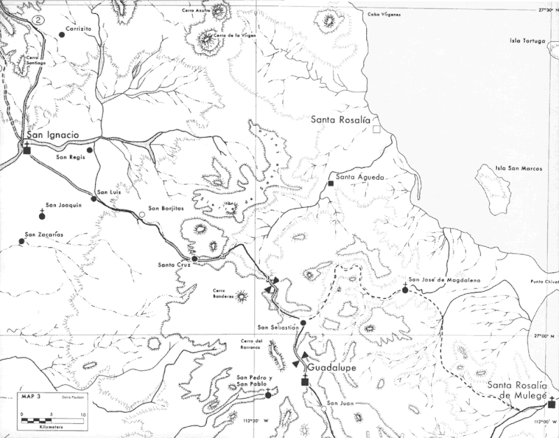
The site of the Visita de San Jose de Magdalena, seventeen miles to the northwest of Mision Santa Rosalia de Mulege on the south bank of the Arroyo
de Magdalena, was first considered as an alternative site for that mission by Father Fray Francisco Palou in 1771, following the extensive flooding of
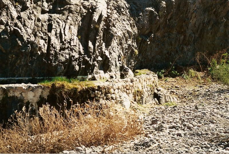
the Rio Mulege during the preceding year. The visita was not established, however, until 1774 when a stone and adobe chapel, stone irrigation works
and corrals were built to serve the Dominican Mission Santa Rosalia de Mulege. The visita was permanently abandoned in 1828 with the closing of the
mission. |