Originally posted by larryC
| Quote: | Originally posted by TacoFeliz
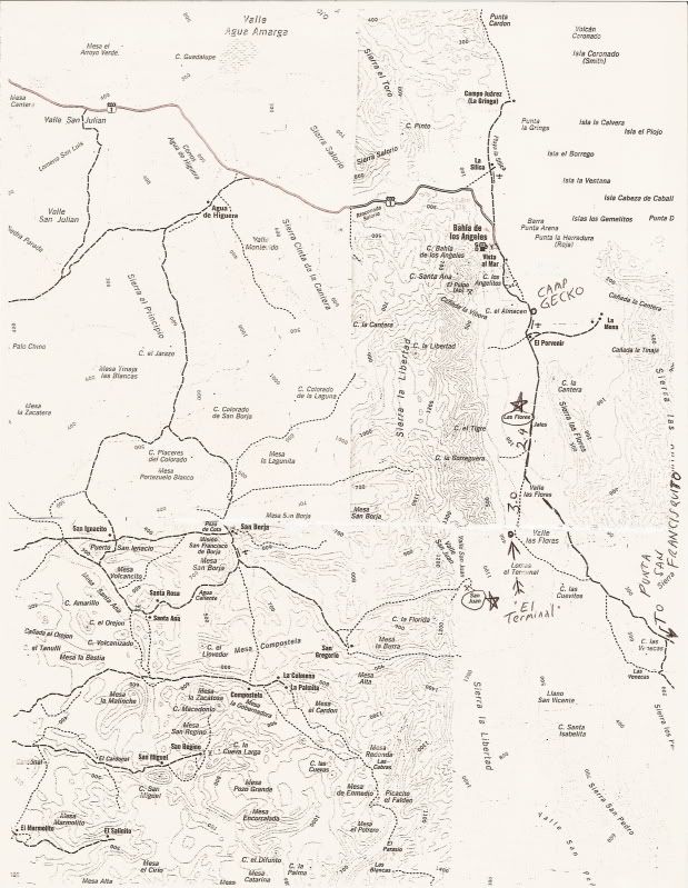
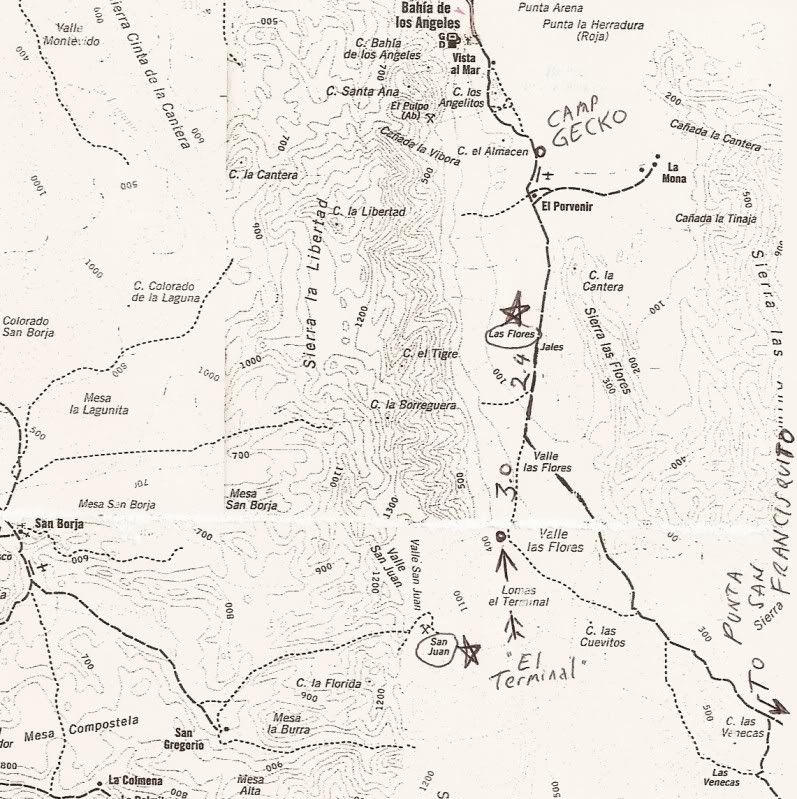
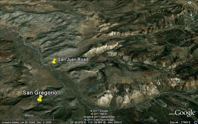
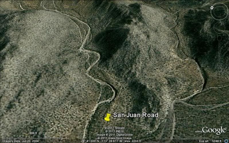
And while we're on the subject, do you know if it is possible to make it to the San Juan mine site from the San Gregorio side?
|
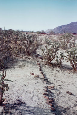
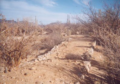
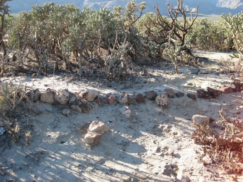
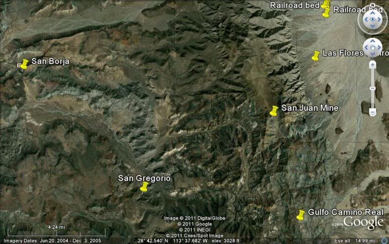
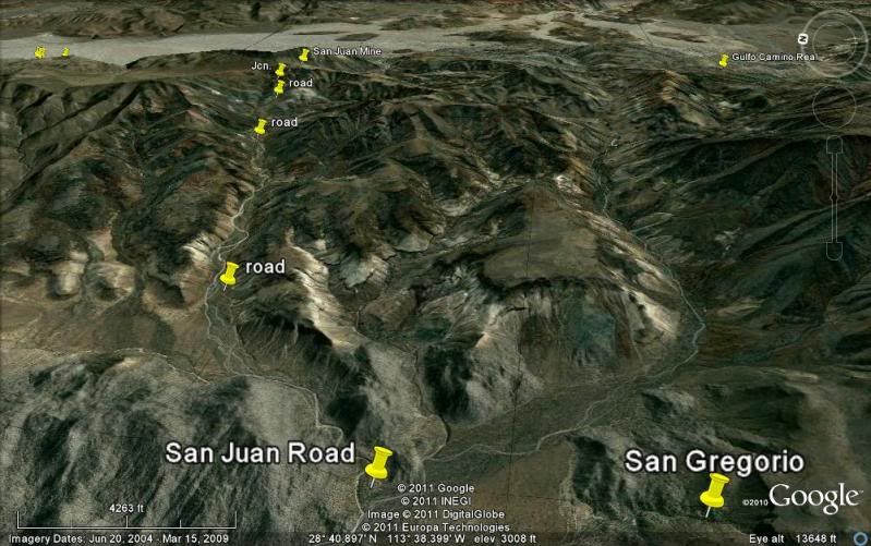
My first trip up to the mine was through Borja, out towards Gregorio, and then we turned to the left where the rock corral and water well are just
before Gregorio. We were on quads, we pecked along occasionally finding the old road to the mine. After about 5 miles or so we could go no farther. We
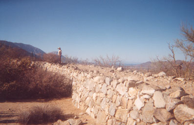
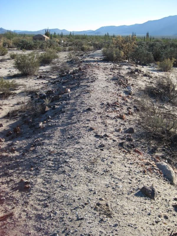
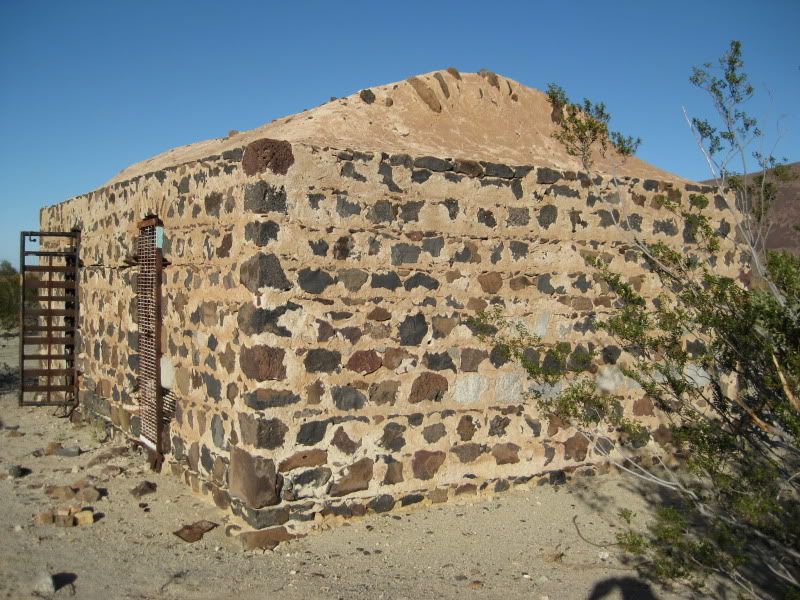
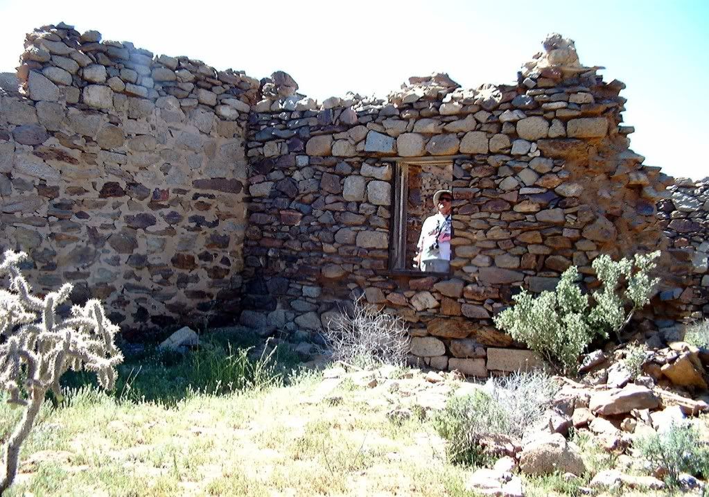
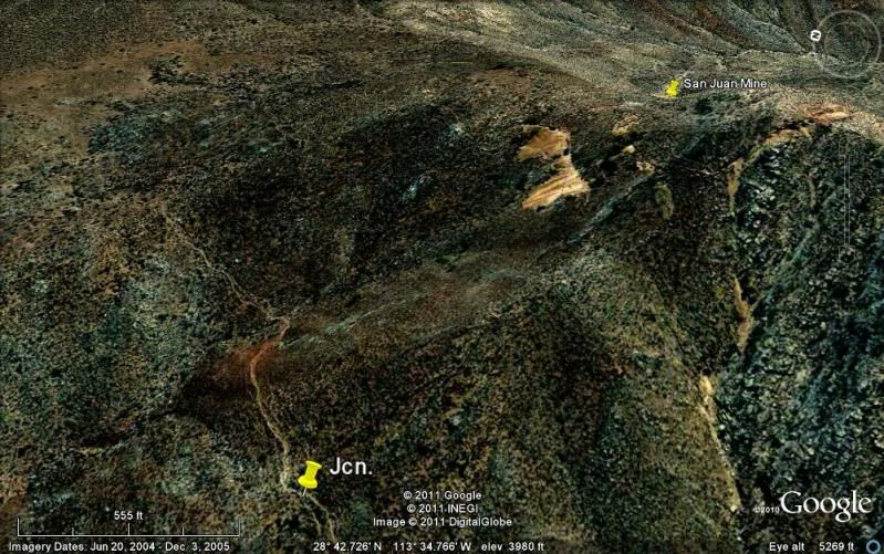
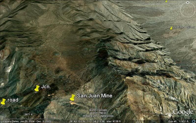
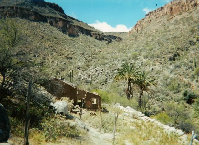
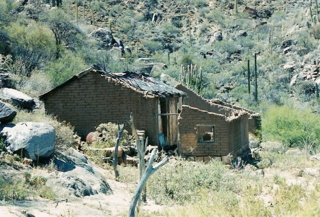
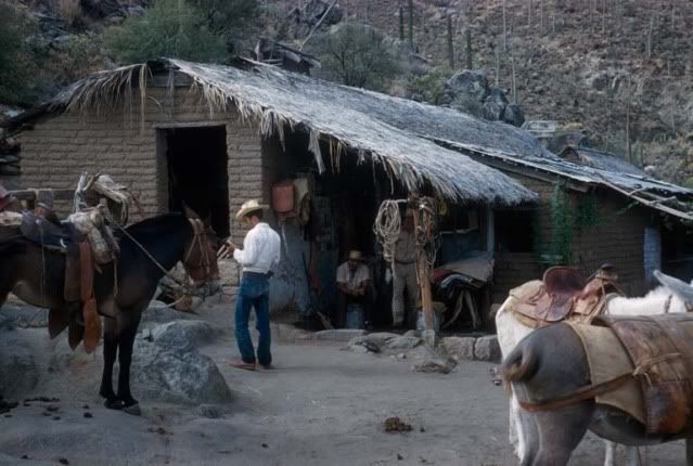
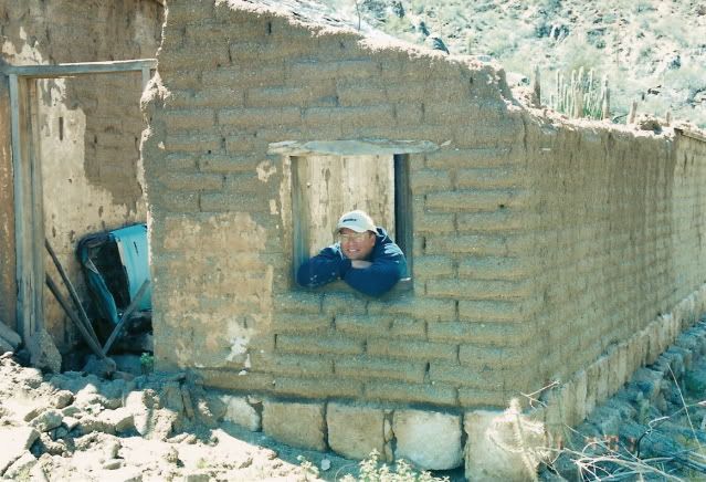
started hiking up the mountain, again finding the original trail. We hiked for less than 3 hours and made it to the rock building near the mine site.
We could see the tailings from the upper mine shaft just above us, but we were out of time, we lookrd around for 30 miutes or so and then had to head
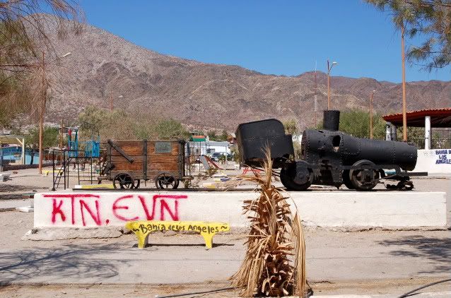
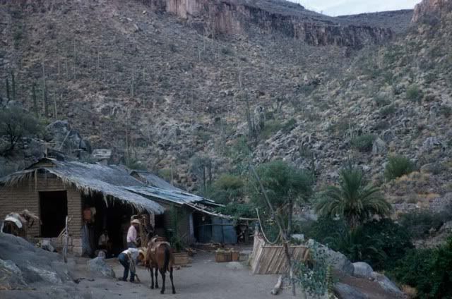
back to Borja, where we had parked the truck. As far as driving up there, I doubt that it is possible. I made a second trip up there with Carolia from
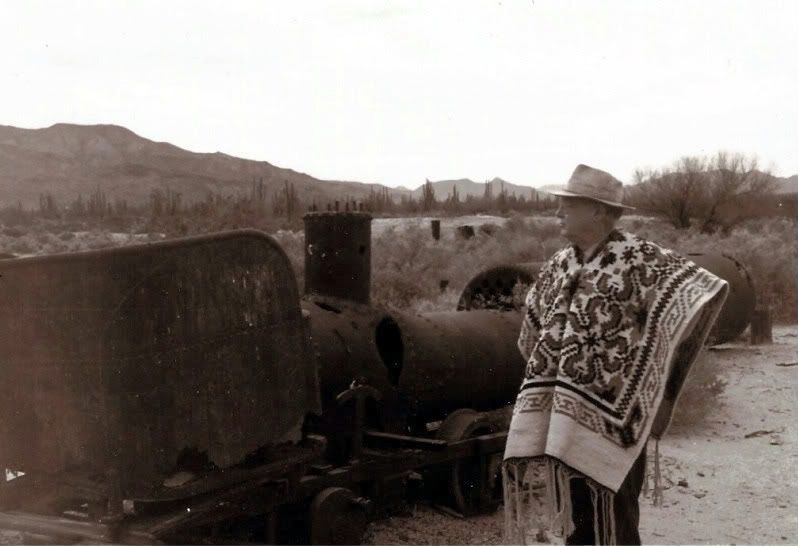
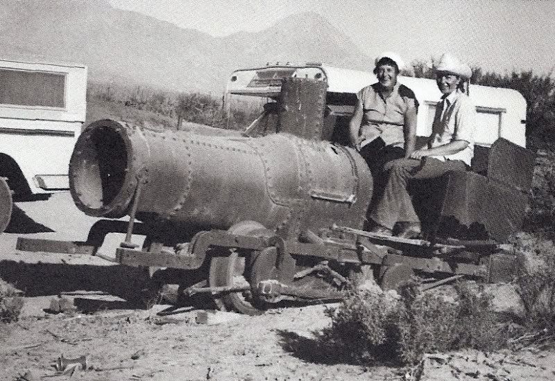
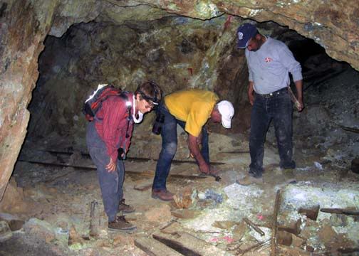
the museum in LA bay, she arranged for guides and some pack animals. We did a 3 day trip and got to explore the mine pretty well. Truely facinating
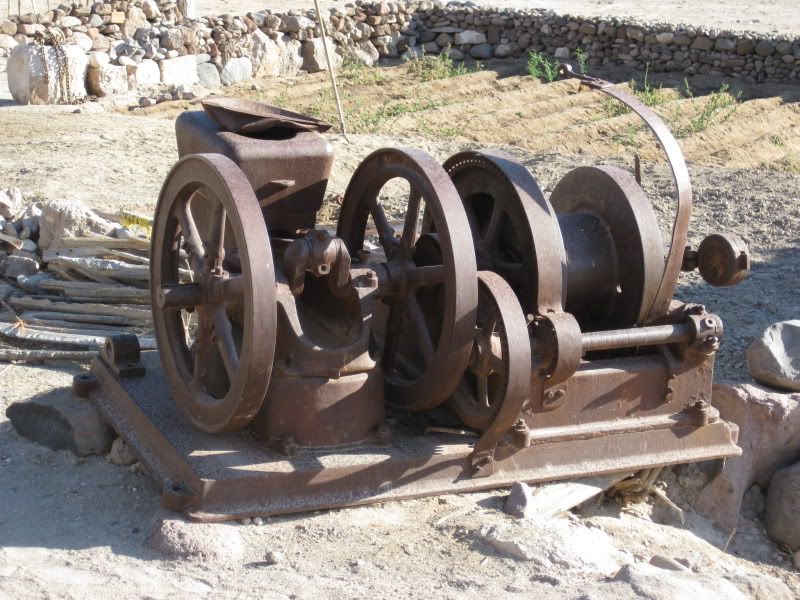
how they got all that heavy equipment up there. It must have been torturous. I'd love to go back. Either fly or with animals but never again from the
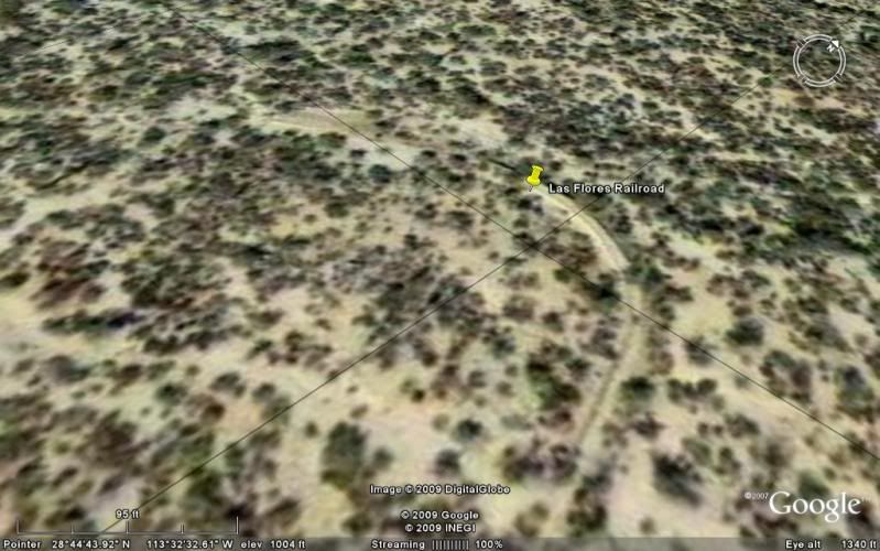
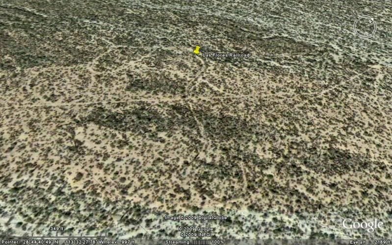
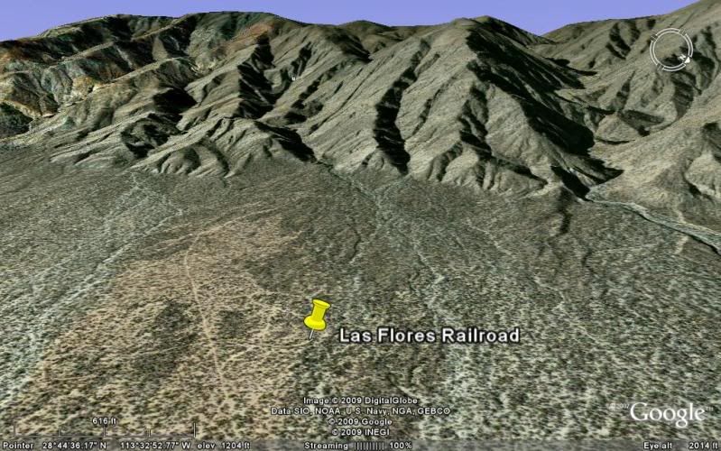
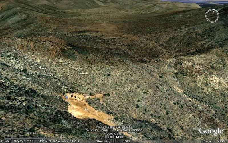
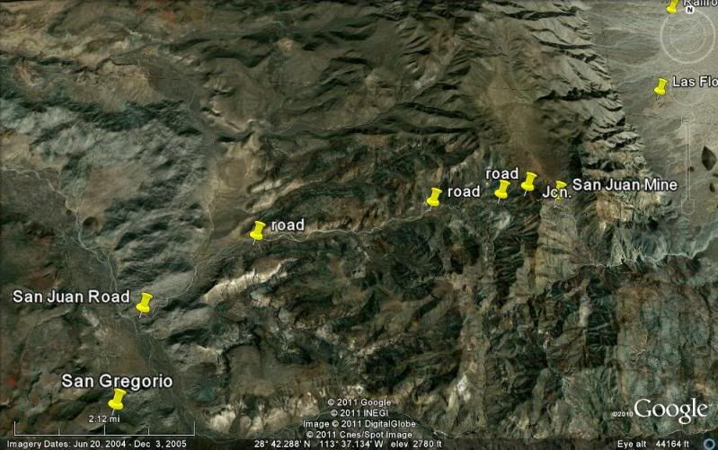
BoLA side. There is a clearing up there that you can land on, in fact Capt Munoz did it with ES Gardener. On google earth there is a picture that I
took outside the lower mine shaft, just click on the blue dot. I'll try to find some other photos and post them here.
Larry |