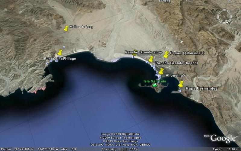
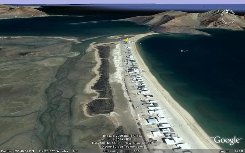
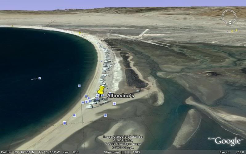
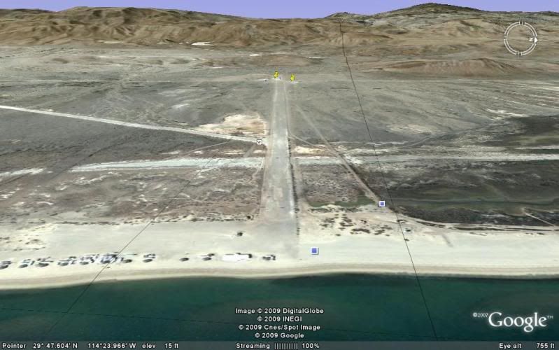
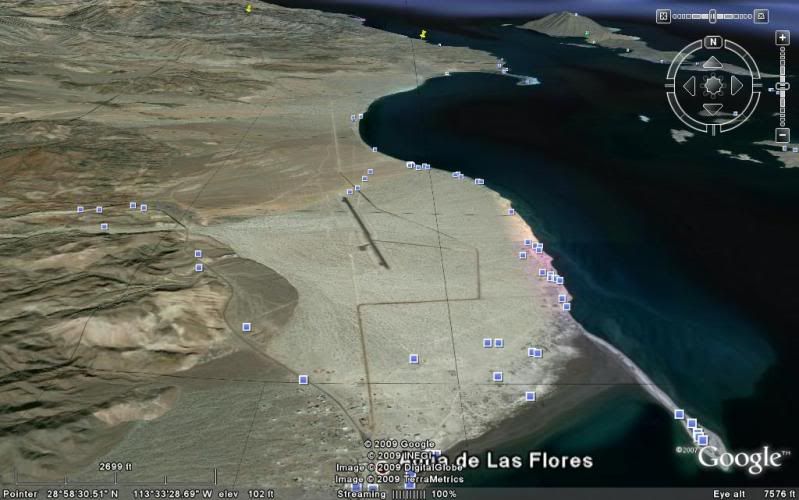
Originally posted by k-rico
It ain't free goat, you're supposed to be seeing these images via the Google website and viewing thier ads. These images are violating the Google
copyrights.
-----------------------------------------
2. Restrictions on Use. Unless you have received prior written authorization from Google (or, as applicable, from the provider of particular Content),
you must not:
(a) access or use the Products or any Content through any technology or means other than those provided in the Products, or through other explicitly
authorized means Google may designate (such as through the Google Maps/Google Earth APIs);
(b) copy, translate, modify, or make derivative works of the Content or any part thereof;
(c) redistribute, sublicense, rent, publish, sell, assign, lease, market, transfer, or otherwise make the Products or Content available to third
parties;
(d) reverse engineer, decompile or otherwise attempt to extract the source code of the Service or any part thereof, unless this is expressly permitted
or required by applicable law;
(e) use the Products in a manner that gives you or any other person access to mass downloads or bulk feeds of any Content, including but not limited
to numerical latitude or longitude coordinates, imagery, and visible map data;
(f) delete, obscure, or in any manner alter any warning, notice (including but not limited to any copyright or other proprietary rights notice), or
link that appears in the Products or the Content; or
(g) use the Service or Content with any products, systems, or applications for or in connection with (i) real time navigation or route guidance,
including but not limited to turn-by-turn route guidance that is synchronized to the position of a user's sensor-enabled device; or (ii) any systems
or functions for automatic or autonomous control of vehicle behavior.
---------------------------------------------------------
http://www.google.com/intl/en_ALL/help/terms_maps.html |