Originally posted by Tacodawgtim
David, when I went to Aqua Caliente last month it was pretty warm. Went with some friends. The road was washed out, could have made it in a jeep but
we were in buggies and with wives. From what GPS numbers I had we were about 3-4 miles from the actual spring, just past a rancho. It was 100 + and no
one felt like walking to hot springs. There is quite a bit of legitimate farming going on there. When I go back in November ill try to get back up
there and take pictures, ill hike in. Opposite the large barrel cactus was some drawings on some rocks. We got in almost a mile past that.
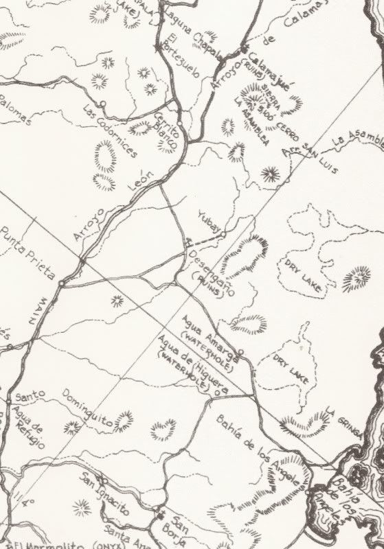
|