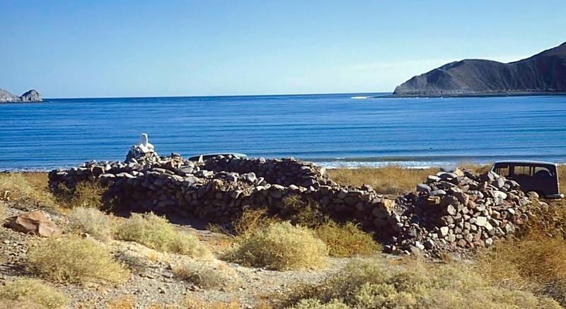
More on the warehouse ruins...
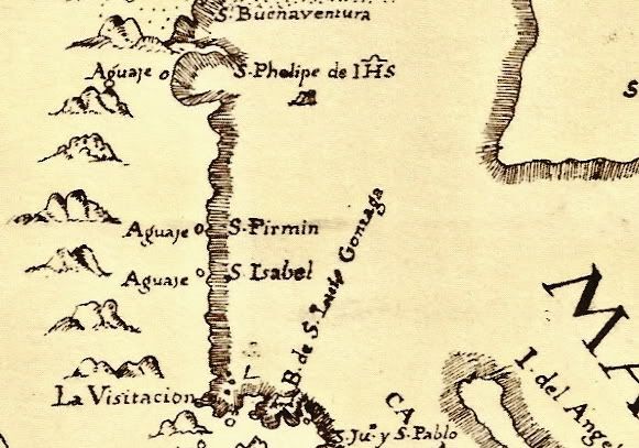
Dr. Eric Ritter has been the lead archaeologists at many digs in Baja California. I just learned that INAH has published his paper on the dig at
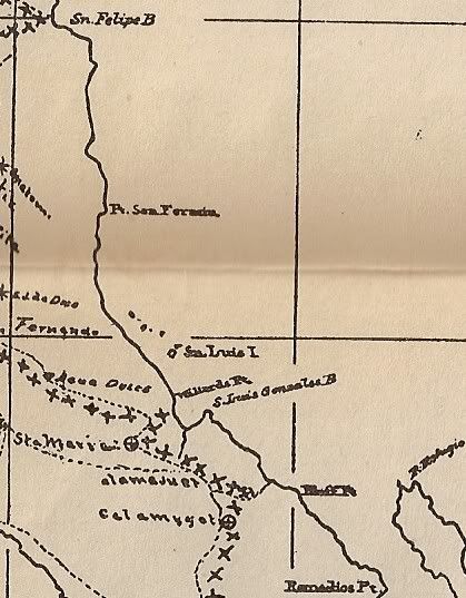
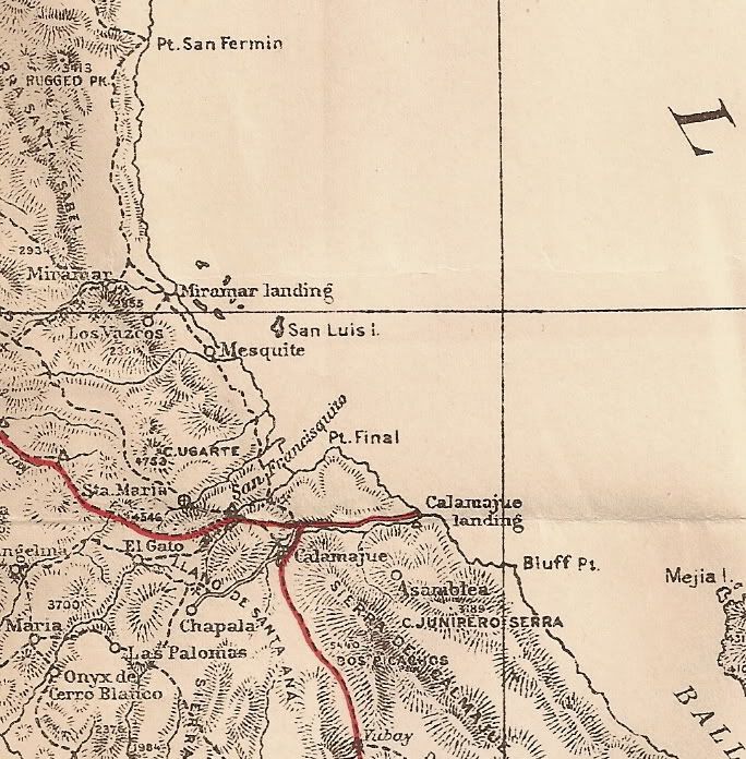
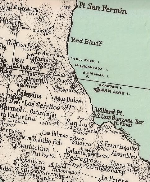
Gonzaga Bay.
Here is the link with many interesting photos and drawings, charts.
https://docs.wixstatic.com/ugd/488b16_d6a1399d09974ddd9dd3b0...
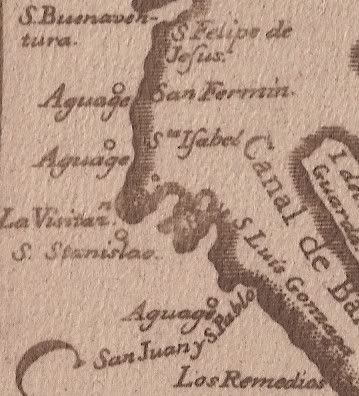
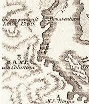
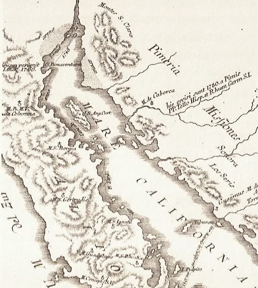
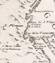
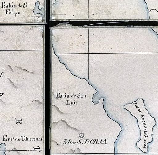
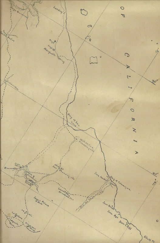
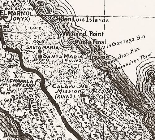
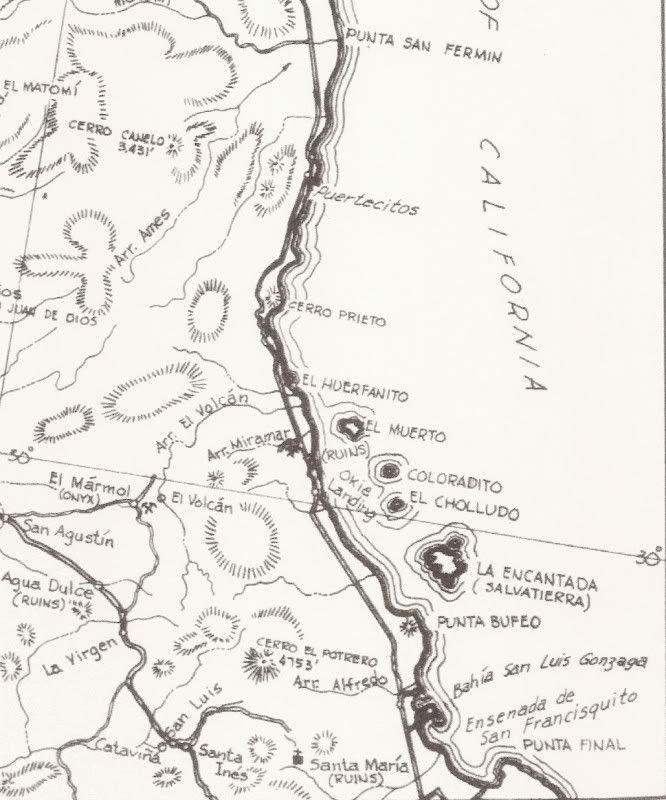
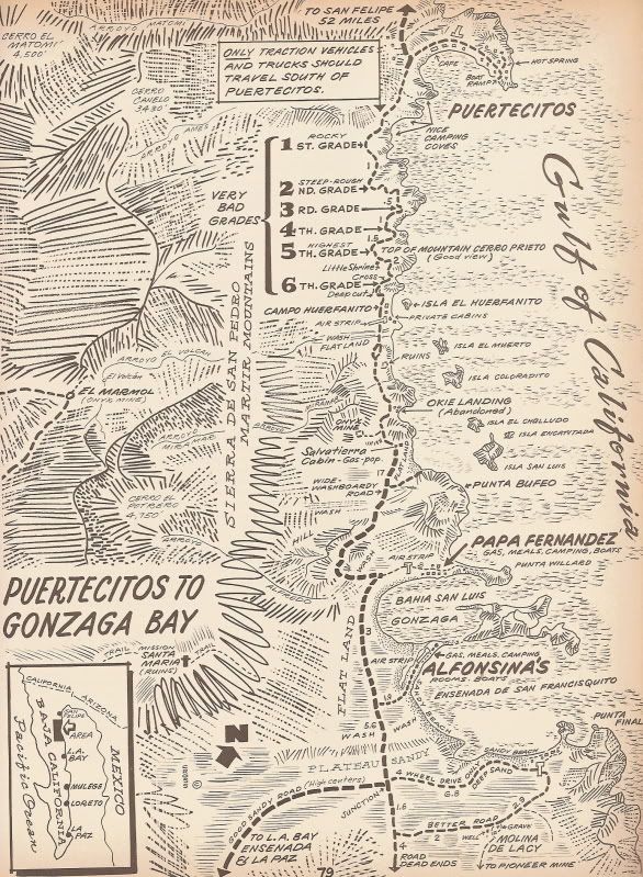
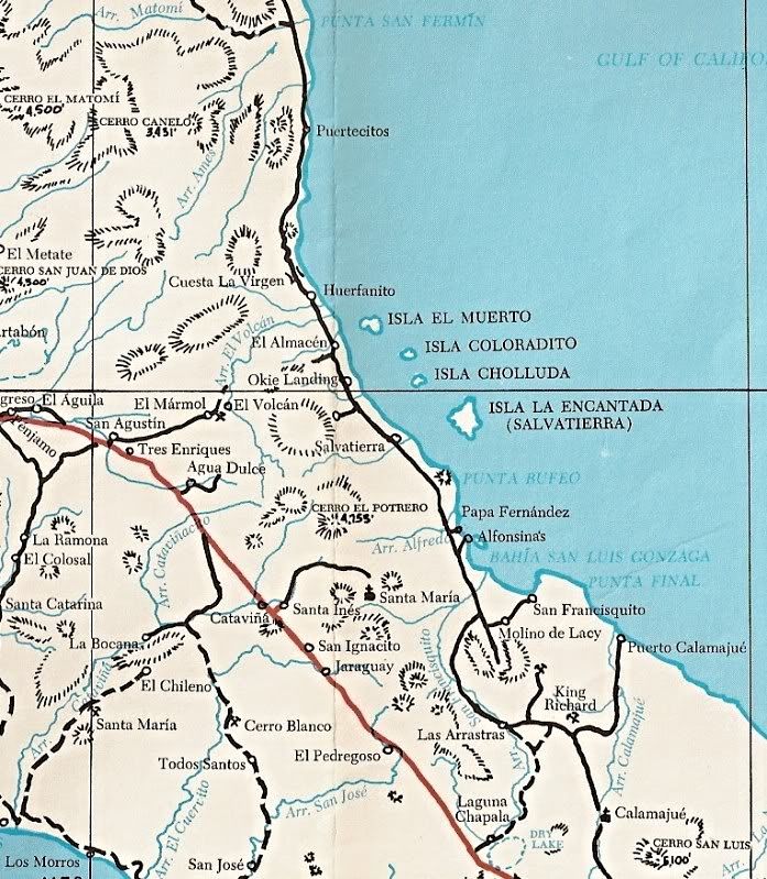
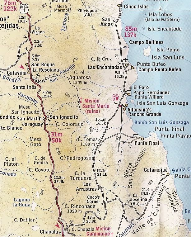
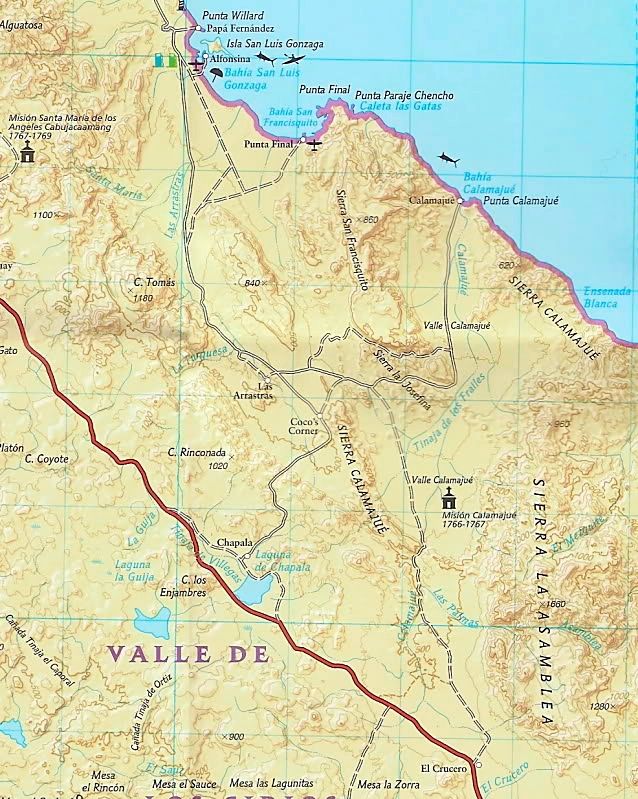
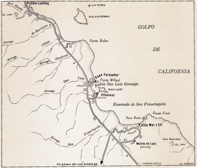
It is our belief that this warehouse was used to store off-loaded supplies and people intended for the San Fernando de Velicatá and other missions to
the north, shipped to Gonzaga Bay from Loreto in the 1770s and 1780s.
Here is a photo from the 1950s of the warehouse ruins by Howard Gulick, in whose book most of us learned what they were...
 |