Originally posted by edm1
| Quote: | Originally posted by Ken Cooke
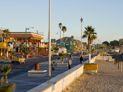
Maybe we can meet at the (new) Pemex station in the glorieta in San Felipe. Perhaps, at 12:00 noon (and then get lunch along the
Malecon). If we arrive Saturday afternoon at around 4 p.m., setting up in the direct sunlight (for us) won't be as challenging.
We can try to meet earlier/leave earlier. I'm just throwing some times out there which might work for everyone. |
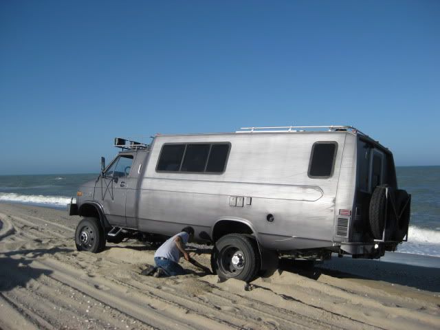
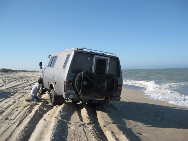
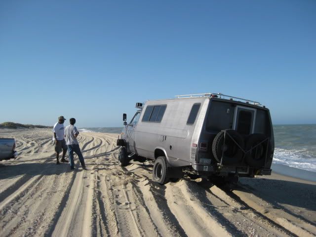
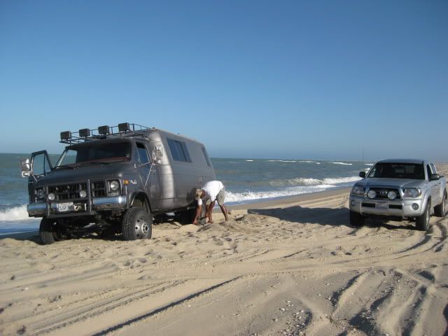
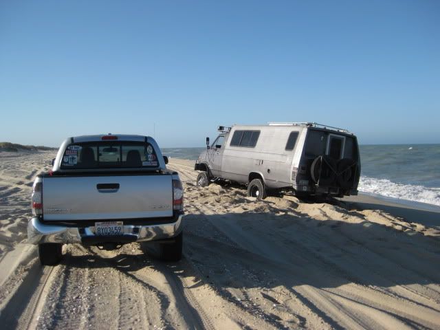
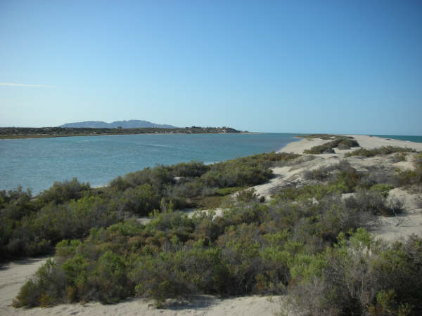
I like your suggestion Ken. I've "been there" (stuck :-) before but I have not crossed that waterway to the "island", so I'd be more comfortable with
someone.
Your suggested schedule is close to my planned schedule, so yes, we can meet in San Felipe for lunch, or even at the entrance along the highway. We
can coordinate via U2U. |


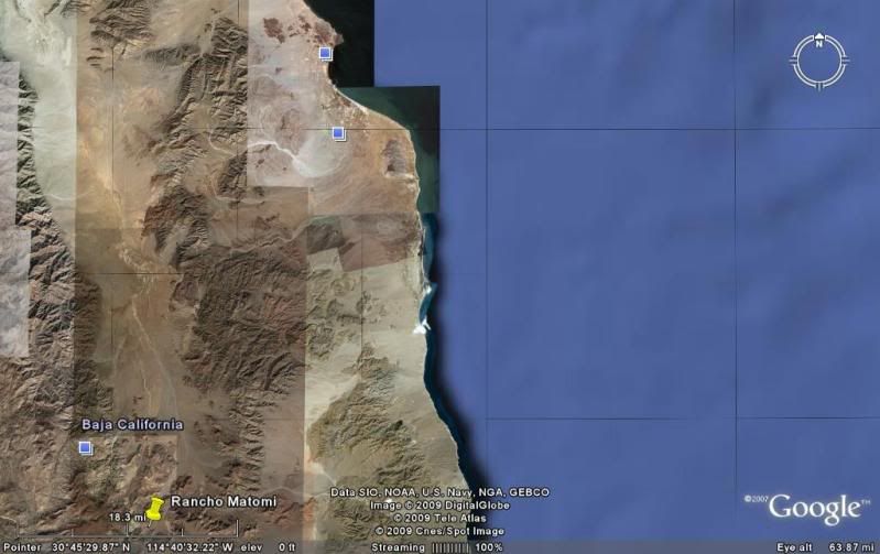

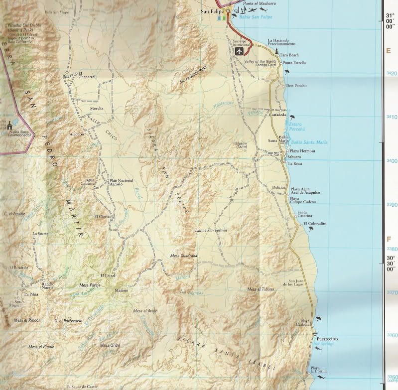
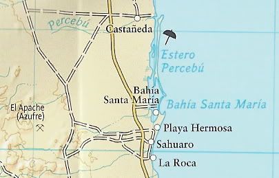
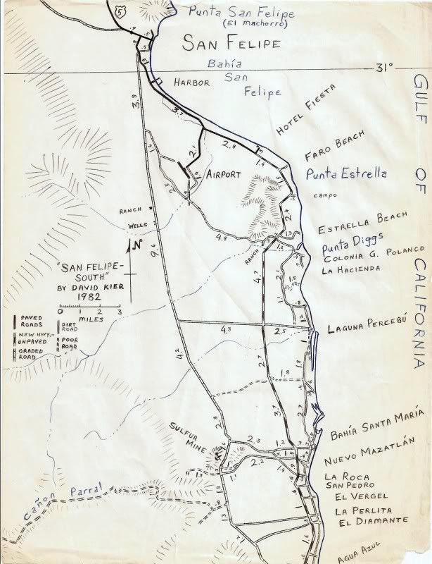
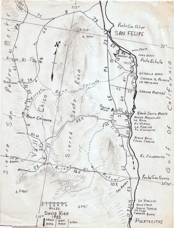
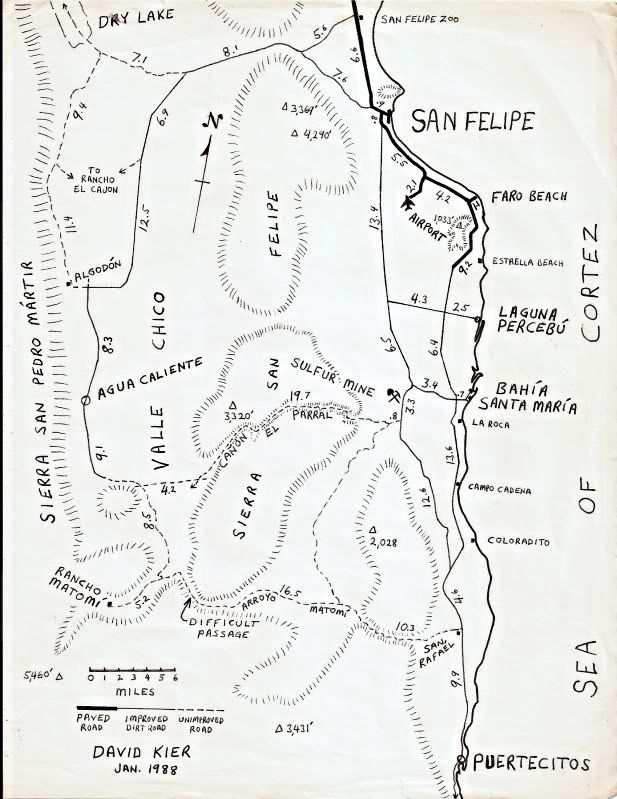


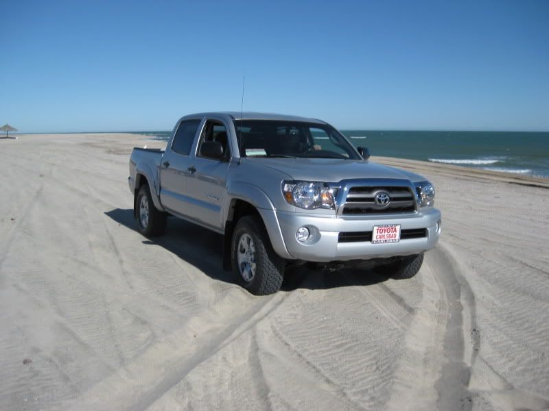
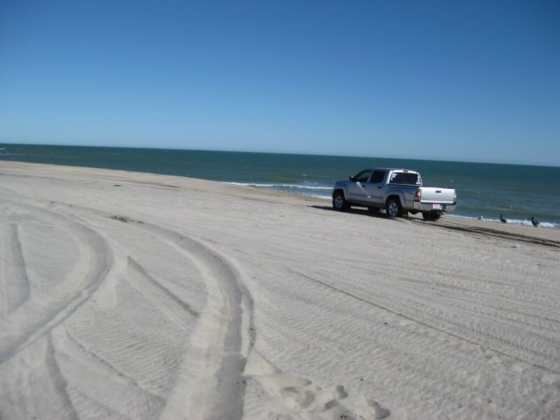
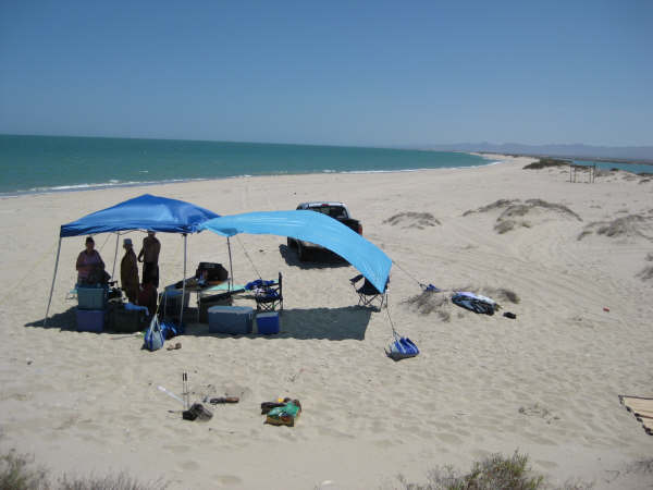
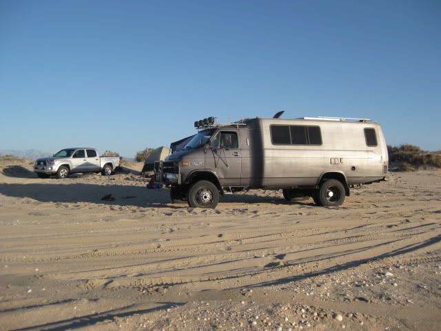
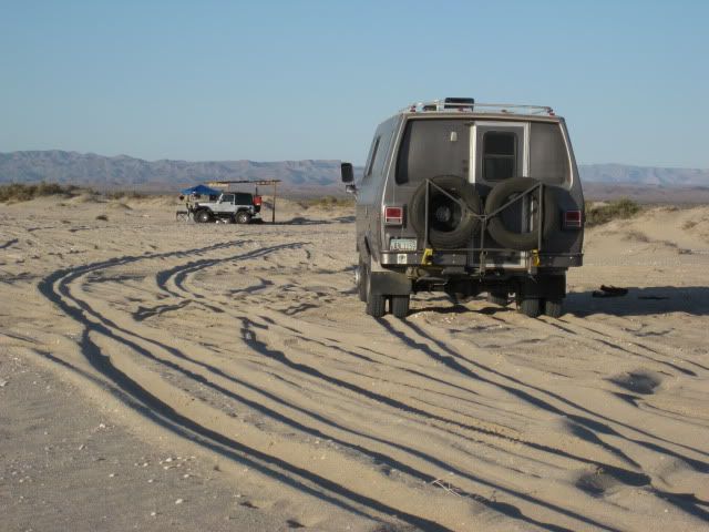
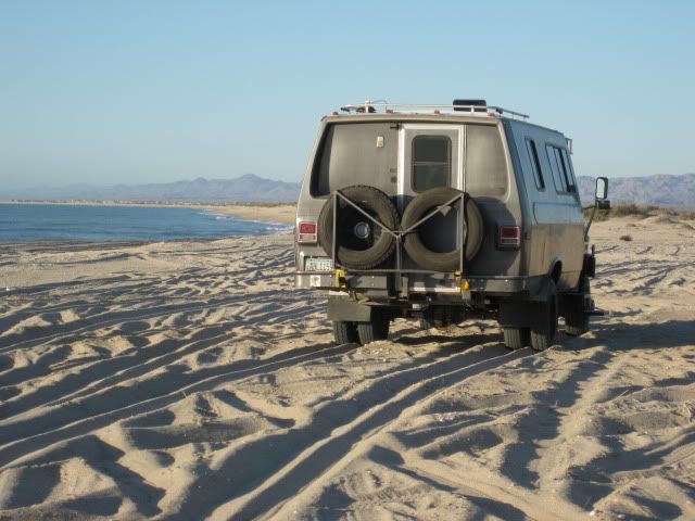
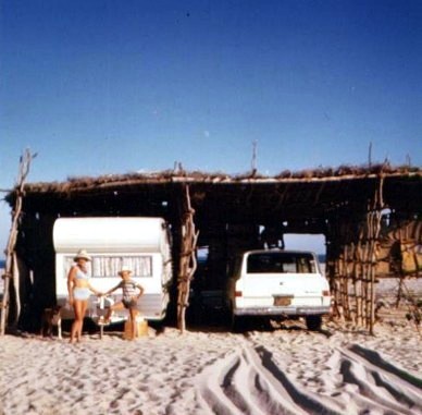
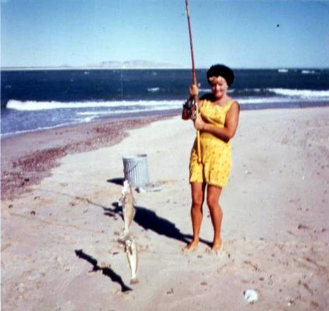
 After Shell Island and San Felipe we're going to visit the mountains...


 Congratulations!