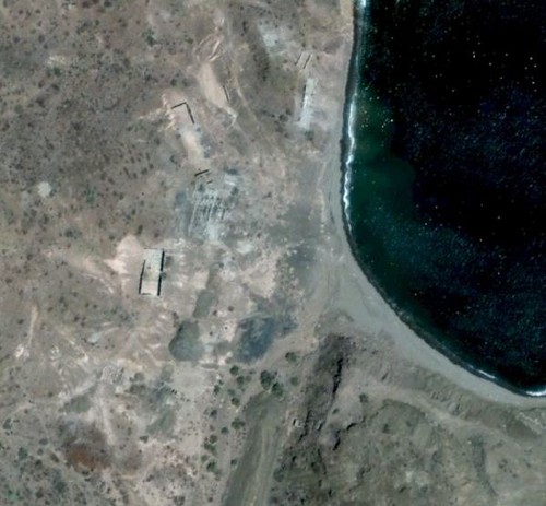
We are camped on a salt flat-like area not far from the shore of the bay... a narrow line of low shrub is all that is between us and the water, a few
hundred feet away. Chef Jesse makes us an egg, bacon, and cheese scramble which we devoured with pleasure! It was a long, tough night drive so we were
not in any hurry to get up, and the breakfast was greatly appreciated. My passenger, Pat, likes fresh-brewed coffee and I have my camp stove set up
each morning for him to percolate a pot. He has brought Starbucks, and it was quite good even for me as a not so big coffee drinker.
We all walk to the shore and Nick goes snorkeling in the warm water. A puffer fish calmly swims to us (see it in Ham's video). We are finally heading
back south at 12:45pm heading back. I should mention that the road north of Amorales (where we camped) is very overgrown and not been used in ages
except perhaps for motorcycles! All of us got tons of "Baja pin stripes" last night! In the video, you can see the brush lit by Ham's amber lamps that
we drove through, twice. [I got my truck 'clayed' in a detail job two days ago to remove the scratches. Only one was too deep to rub out.]
In my notes, I note that we passed through a fence gate 4.8 miles southbound from camp at 1:21 pm (closing it after we all pass through, of course).
We pass a Ford Courier or Ranger truck coming north on the road driven by a rancher, friendly waves are exchanged... and we admire that his truck is
2WD and travels frequently on what we would call a 4WD only road... LOL!
We reach the Arroyo los Pintados 'road' at Mile 10.4 from camp... and there are no tracks, just the arroyo north of the Three Musketeer cardón cacti.
There is a fork in the wash in 0.7 mile and I take the left branch (which was correct for the painted cliff), but the wash route becomes difficult and
we turn around after 0.4 mile and head for the right branch... and sure enough I see tire ruts, so we think we are on the correct route. I did not
have the GPS for the painted cliff, and was just winging it. Where we ended up going was fascinating and proves that in Baja, all roads go someplace
interesting!
Well, the right branch road climbs out of the arroyo and there is a steep down-and-up gully. Nick is lead rig and it takes him a few tries... we toss
in some rocks to help us bigger vehicles not bottom-out the rear end. We drop into another arroyo (Tres MarÃas) and go up it and soon are in a
running stream! I love seeing water in the desert and it shows you (if you get away from main roads and into the backcountry) how the Indians could
survive in an otherwise waterless land.
Where the canyon narrows and further driving is halted we see what looks like a man-hole plate on top of a well, a few feet higher than the arroyo
floor. There is a concrete foundation on the side of the arroyo and just ahead is a side ravine (that the water is coming from) with a fence along the
side of the slope... very odd? We walk to see where the water is pouring out of solid rock and it is an amazing place (to me)!
Investigating the concrete foundation, we read it is from 'Pancho Arce, June 14, 2001' and this is (was) 'Rancho Tres MarÃas'. We are about 4 miles
from the bay shore road (it seems a lot longer).
Coming back, Ham spots an old road that will allow us to avoid the deep gully and we turn left out of Arroyo Tres MarÃas and cross over to Arroyo
Luis (on the Almanac map). Ham had spent weeks downloading GoogleEarth images of the area of Baja we hoped to see and had a screen in his FJ with the
GPS of his truck and that is how he found the cut across road! We reached the bay shore road about 5 miles from Rancho Tres MarÃas site. We were back
at Highway One in 7.2 more miles, on the same road we took the day before.
Before I get into the next part of Day 6 (Campo La Perla), here are maps and photos...
The beach at Punta Amolares:
|