Originally posted by elbeau
| Quote: | Originally posted by surfer jim
So this story won't end now (it has been an interesting topic)......MAYBE he did find something (gold...treasure...who can say) and is coming back
with a bigger vehicle to haul all the loot out....
|
Keep the thread alive? Sure.
...but perhaps with even less credibility than I started with before.
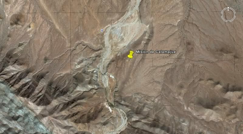
Of course, I'm having my doubts about my Google Earth Archaeology skills, but what the heck...here's another site. I call this one the "Hydro"
structure. Why Hydro? I dunno, I can't exactly tell you what it is or isn't, but whatever it is, it's in the middle of the arroyo so I'm calling it
the Hydro structure.
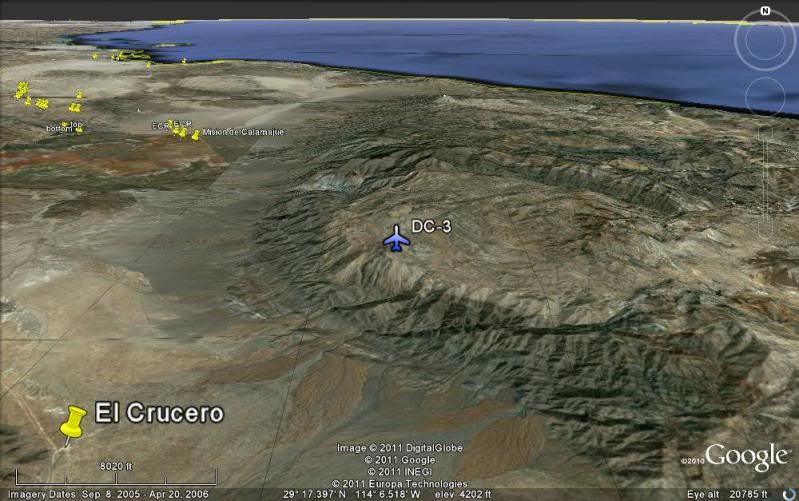
Also, please notice the area of raised land coming in from the adjoining water channel. To me this seems really strange. Of course, you might expect
to have sediment build up at the base of a channel like this, but I don't think it should naturally build up the way it appears to be.
Anyways, have fun:
|