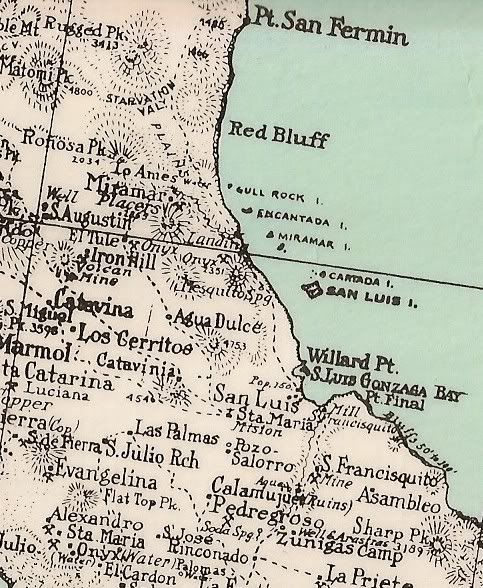
Originally posted by David K
| Quote: | Originally posted by elbeau
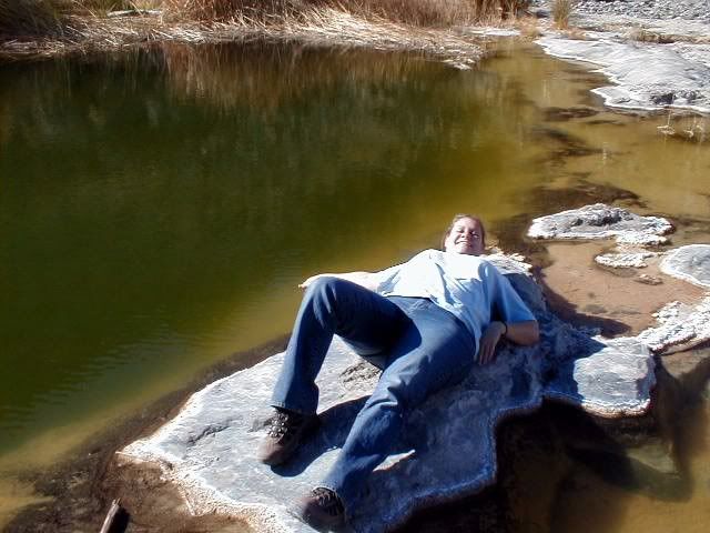
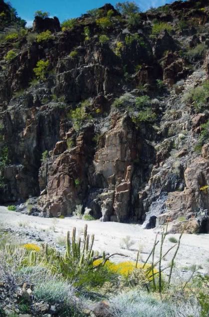
Those shadowy sections uphill from my proposed "mission site" have always defied any logic I ever tried to apply to them. The best I could guess is
that it was either a North West facing slope, like all the other shadowy areas you see in GE, but the drainage and shadows just didn't ever come
together for that. I also thought that it might be thick vegetation of some kind, but that never looked right either. But today I think I started to
understand them.
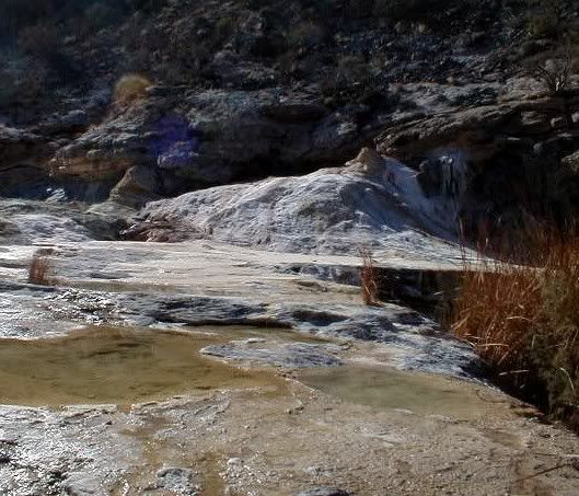
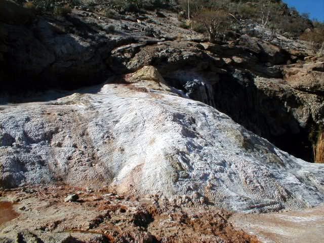
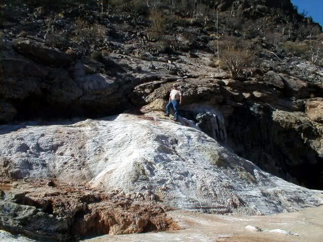
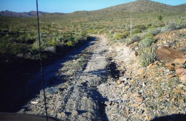
It's hard to try to reconstruct the details of this, but only because the event would have been pretty destructive...but here's the basic idea:
And here's a VERY, VERY, VERY, VERY imprecise, rough guess to help you see what I'm thinking happened at some point:
|
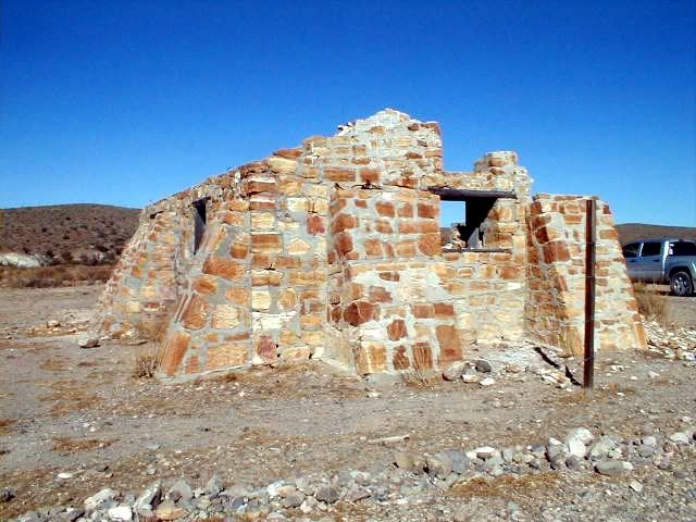
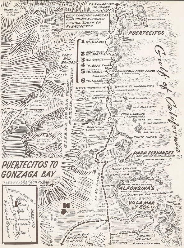
Good evening Elbeau... did you have a chance to read Choral Pepper's chapter I reposted just above?
She would have loved to be here now and fan the excitement that the mysteries and myths of Baja's lost Santa Isabel mission give, that you have
brought back to life on Nomad.
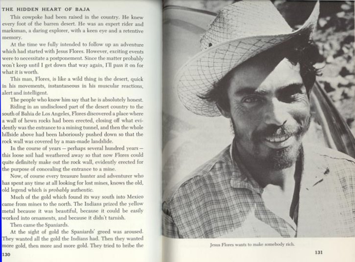
Another historic mystery that was the subject of great study and writings of another 'Baja person'... my late amigo Dave Deal.
Dave was a Baja racer, pilot, and world famous cartoonist... His last famous work was for the Pixar film 'Cars' in which he created nearly all the
characters for. Dave passed away not long ago, but before he did his studies on the final resting spot for Noah's Ark were well documented on one of
his web sites.
Dave's use of the satellite images of landslides totally reminds me of your images above... Enjoy Dave Deal's explanations and illustrations here and
the linked web pages: http://www.noahsark-naxuan.com/1.htm |

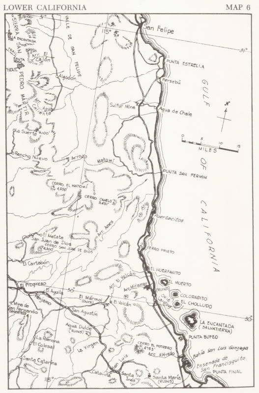
 Once you're there I'm sure you will be able to find the most reasonable place
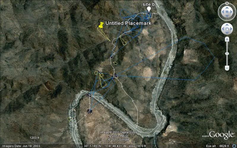
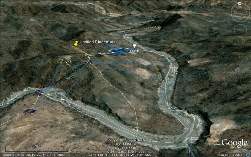
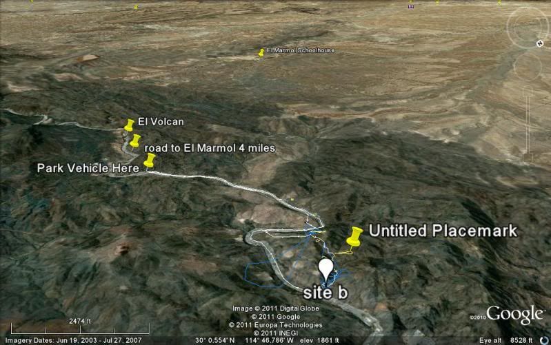
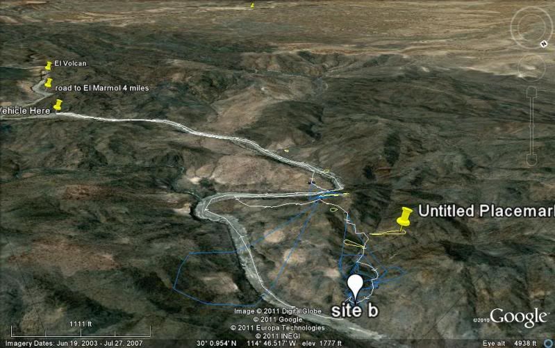
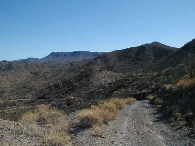
to take those photos from. The blue bubbles are photos that I think are critical to putting this matter to rest. The yellow bubbles are kind of
"nice-to-have" photos of features I would like to understand, but which are explaining geological features rather than archaeological features or are
things I just can't make much sense of from the satellite images.
Once you're there I'm sure you will be able to find the most reasonable place
to take those photos from. The blue bubbles are photos that I think are critical to putting this matter to rest. The yellow bubbles are kind of
"nice-to-have" photos of features I would like to understand, but which are explaining geological features rather than archaeological features or are
things I just can't make much sense of from the satellite images.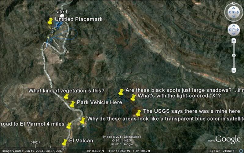
 and I'd have to arrange for a relative to fly to town to watch my kids while we're
gone, so it's not a done deal, but I'd like to try to come if you don't mind some more company.
and I'd have to arrange for a relative to fly to town to watch my kids while we're
gone, so it's not a done deal, but I'd like to try to come if you don't mind some more company.


 , but I'm not malicious.


 If you don't mind, I will just ask you to make overlay maps...
okay?
If you don't mind, I will just ask you to make overlay maps...
okay?