Originally posted by edm1
| Quote: | Originally posted by Neal Johns
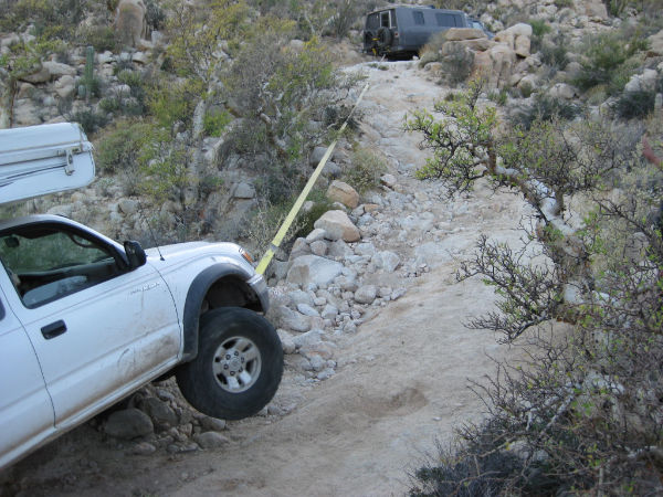
If you went around the rock going on the right side of the picture, I had better stay home this trip, too much work just for one guy's benefit.
|
Yeah Neal, dont cancel yet. If my 4x4 van/motorhome (wb=146 inches) doesnt sell by then, ill bring it to the run, and if it does sell ill consider
bringing my new 4x4 class a motorhome (wb=159 inches); this one can pull your camper out as well :-) |