Originally posted by Barry A.
| Quote: | Originally posted by Ken Cooke
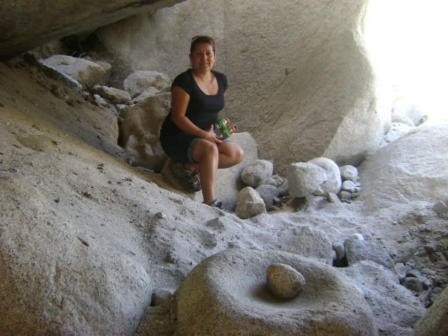
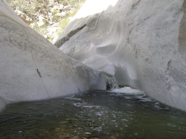
We reached some pools of water created by the newly constructed dam where I was pictured with Leidys. These pools of water prevented us from hiking
up the rocks, because we would have soaked our boots and this would have affected our ability to climb on the rocks to the larger pools of water. For
this reason, we chose to turn around. As it was 2:30 p.m., we think it was prudent that we walked out at that time rather than later...possibly with
wet feet. |
Ken-------You are supposed to remove your boots, sling them around your neck, and put on your Tevas which you always carry in your backpack when
hiking up wild canyons, and forge ahead. 
barry |