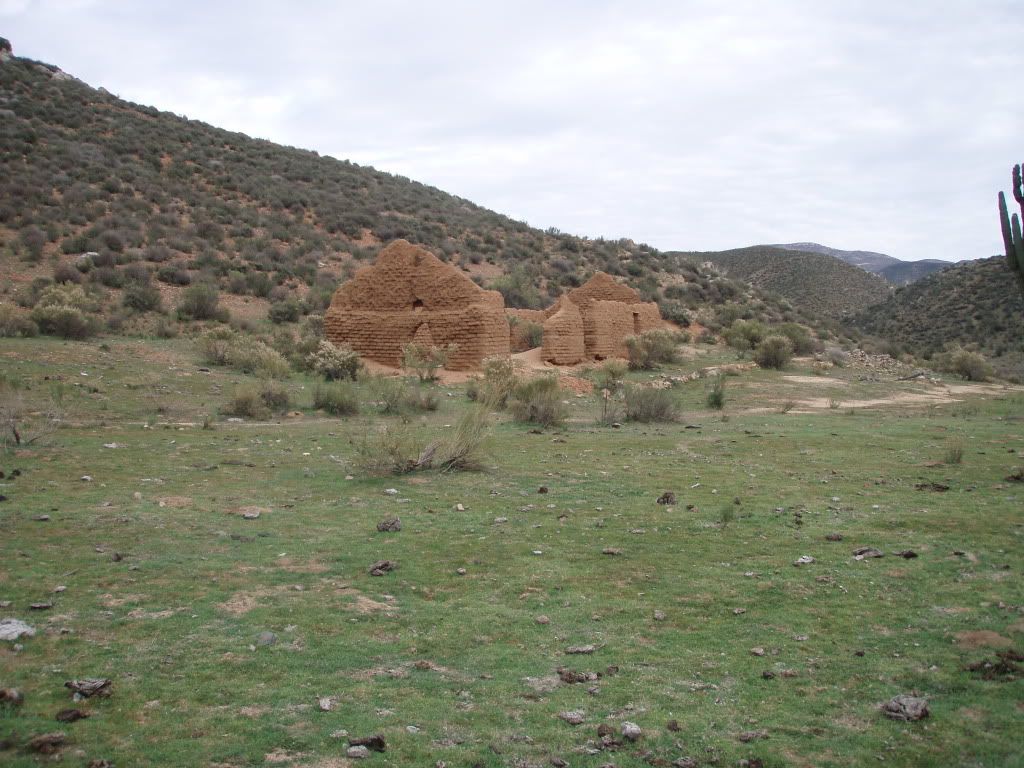
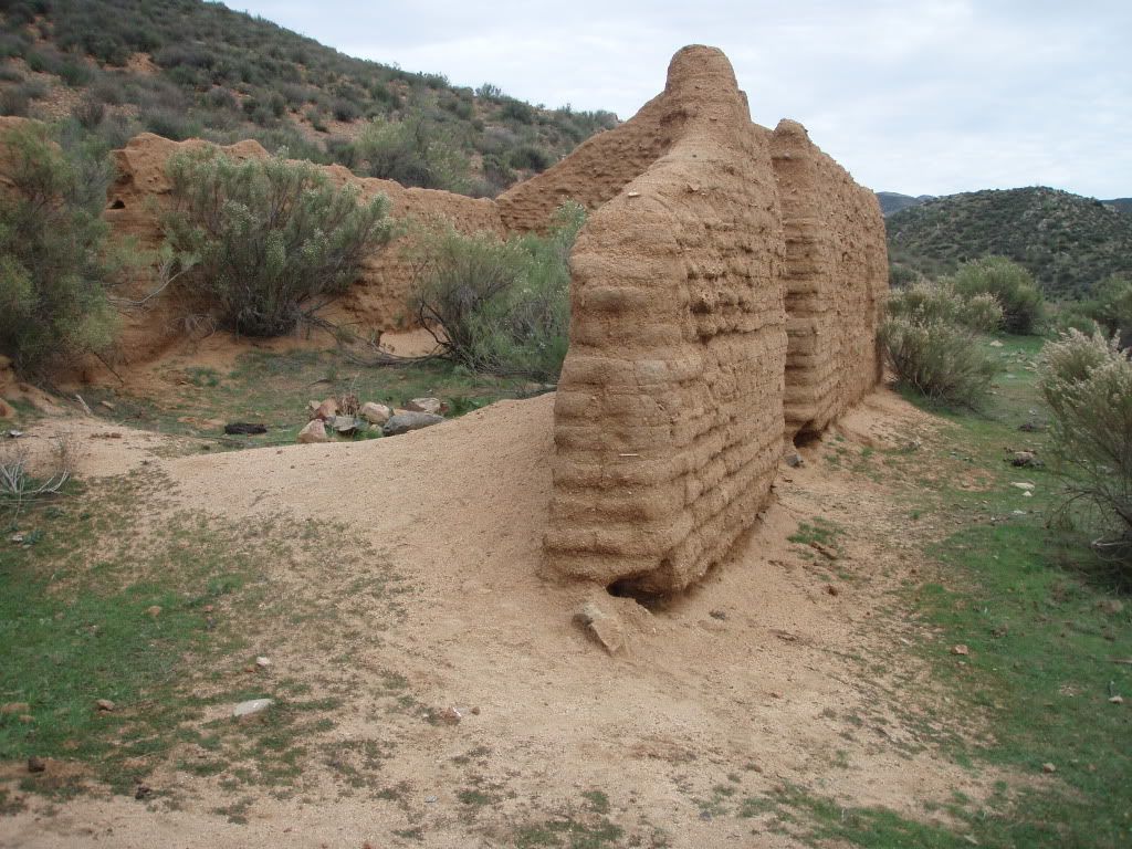
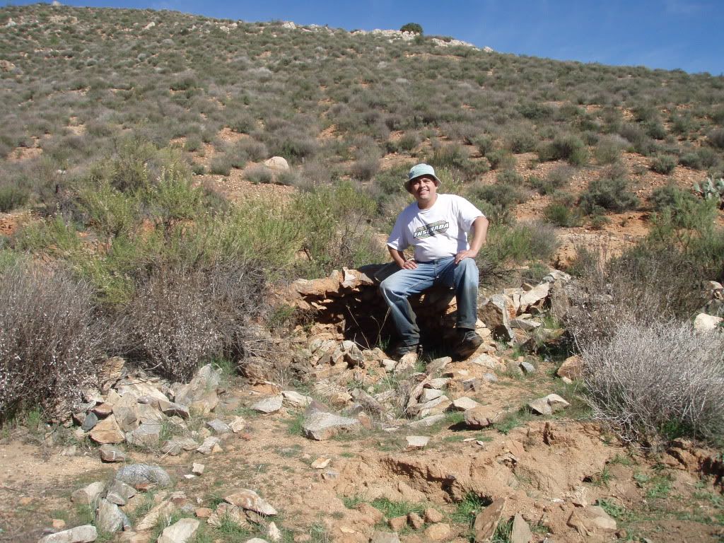
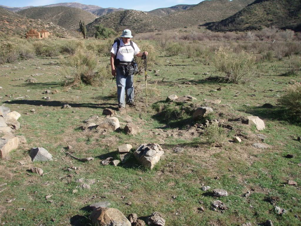
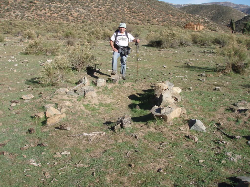
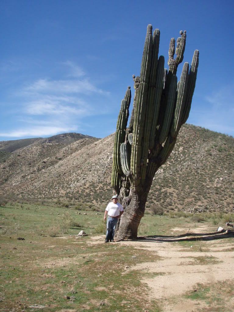
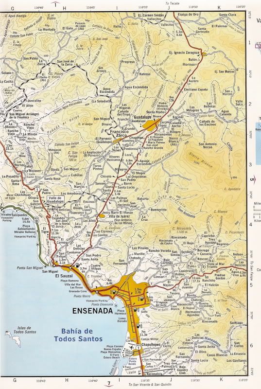
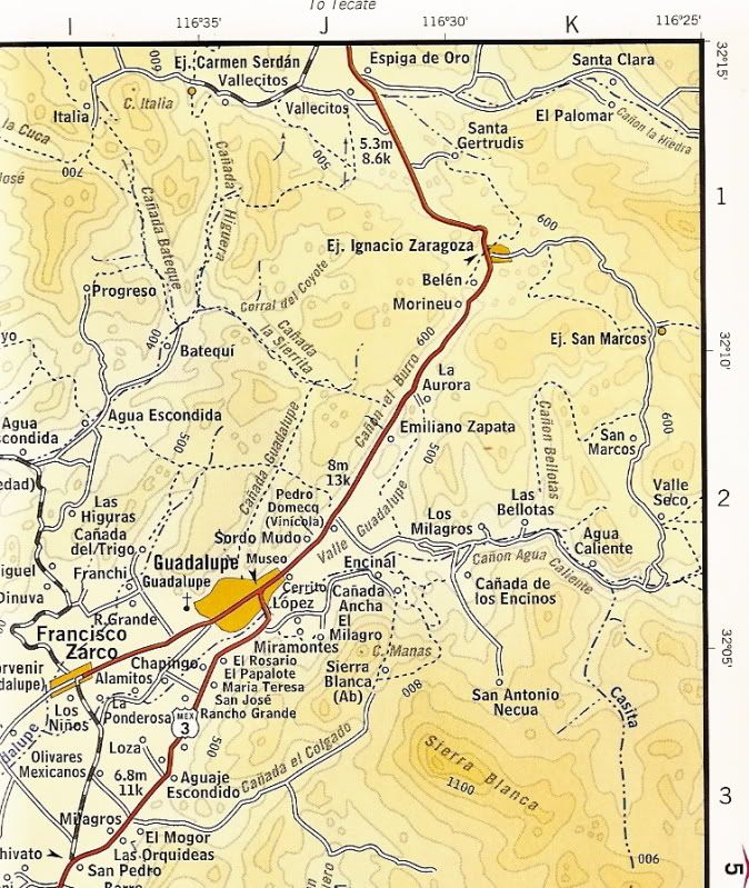
Originally posted by BAJACAT
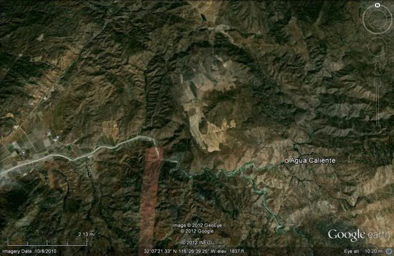
man always wanted to go there, I just made it to the hot springs, Federico saids he is from La Purisima, BCS.. realy cool guys .. we were invited
inside his house to eat fresh cheese and hand made flour tortillas..only a few minutes from LA CETTO... |