Originally posted by Mulegena
| Quote: | Originally posted by David K
| Quote: | Originally posted by Mulegena
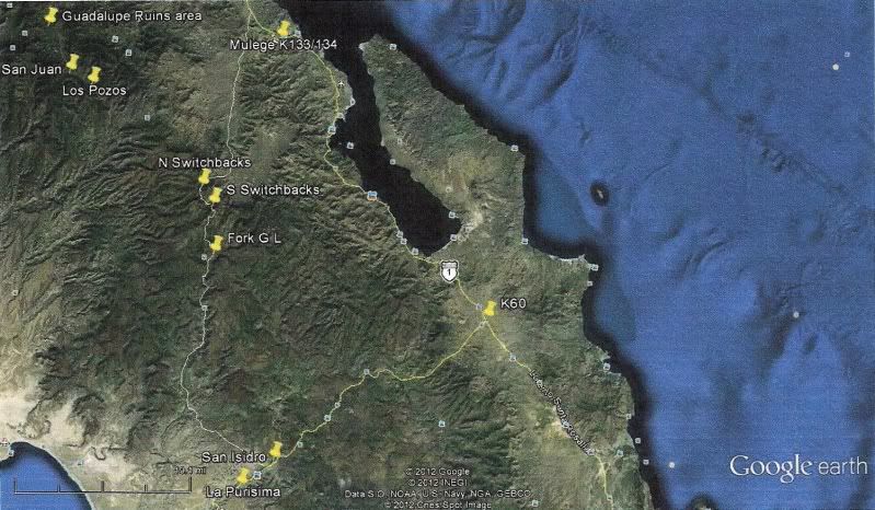
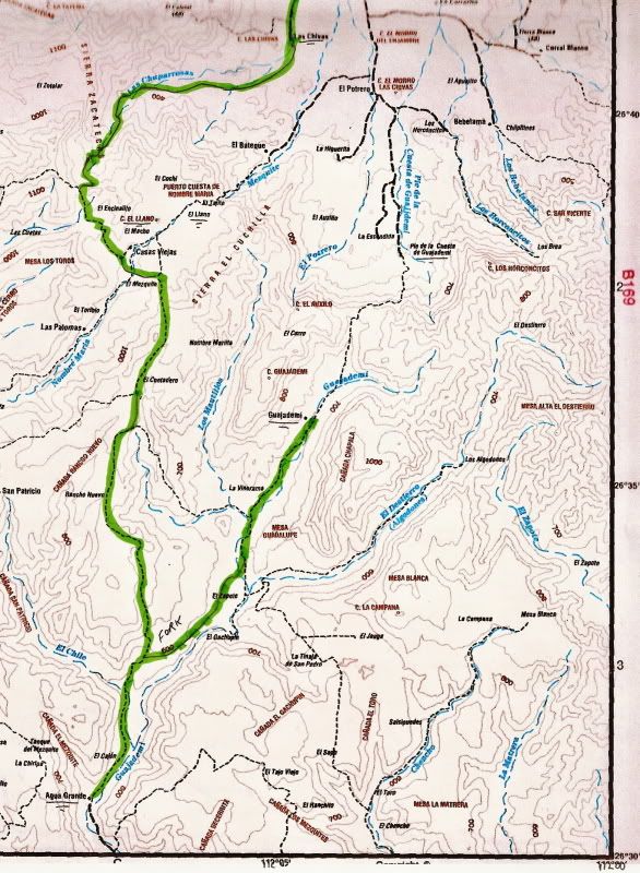
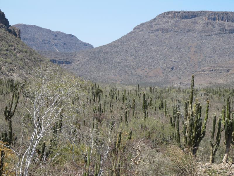
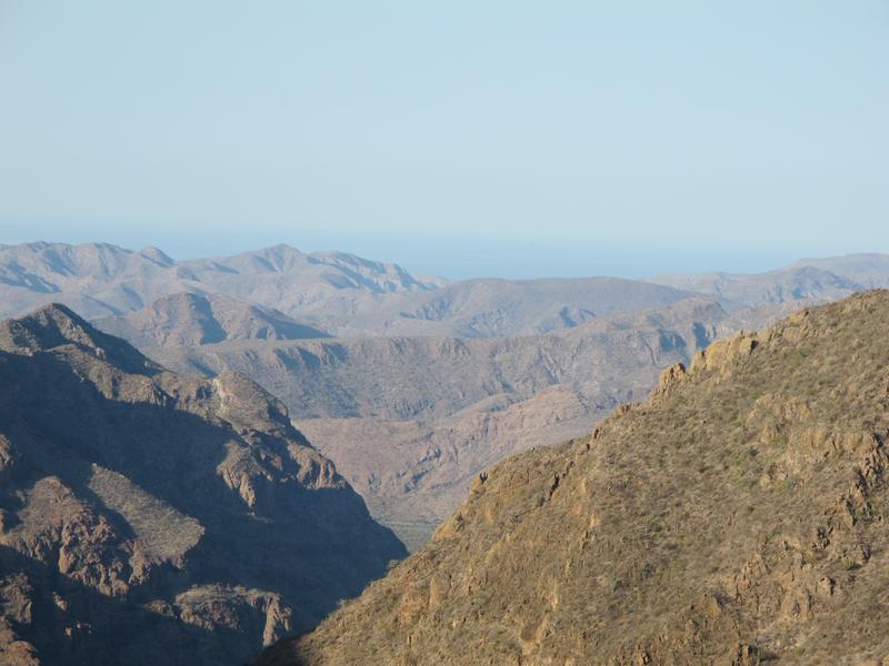
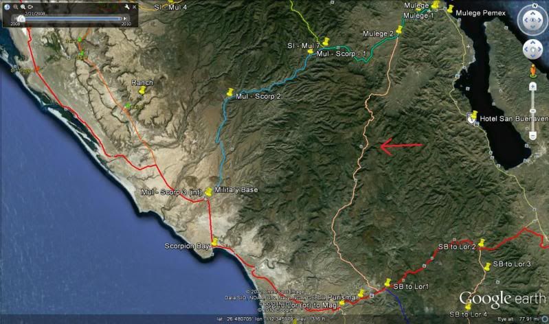
It was... about 65 miles total from La Purisima to Mulege. Absolutely jaw-dropping gorgeous country and a glimpse of Baja backcountry that folks just
don't usually see... |
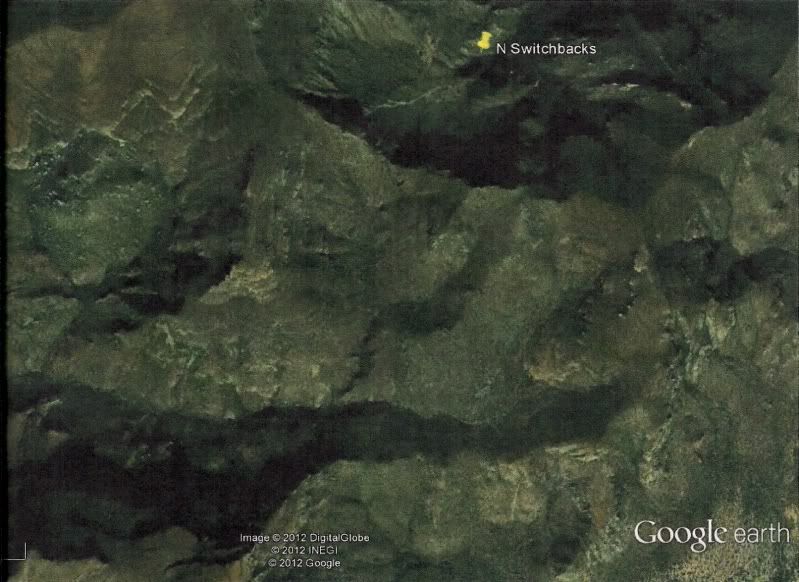
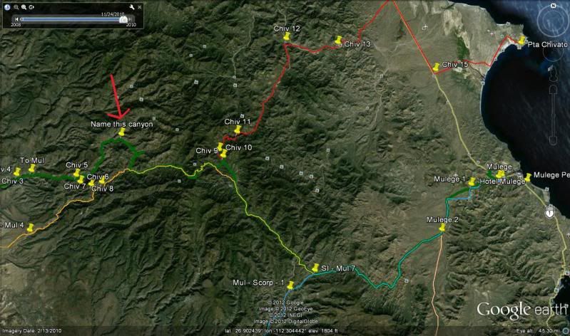
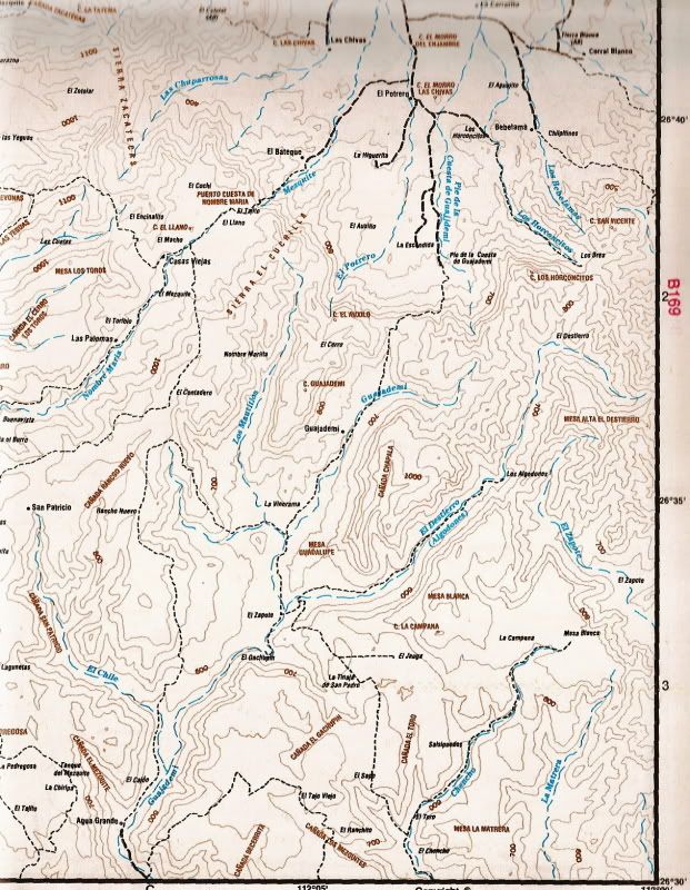
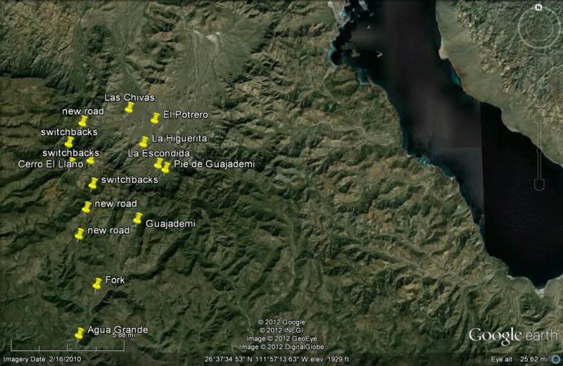
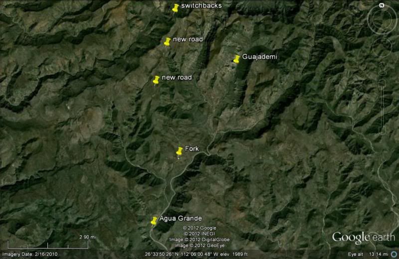
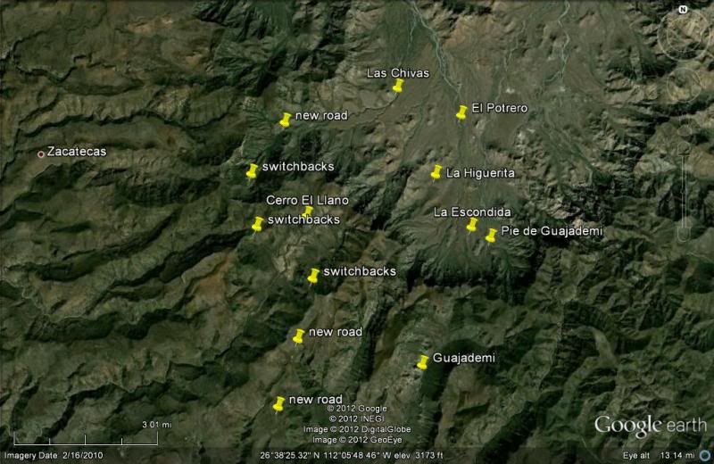
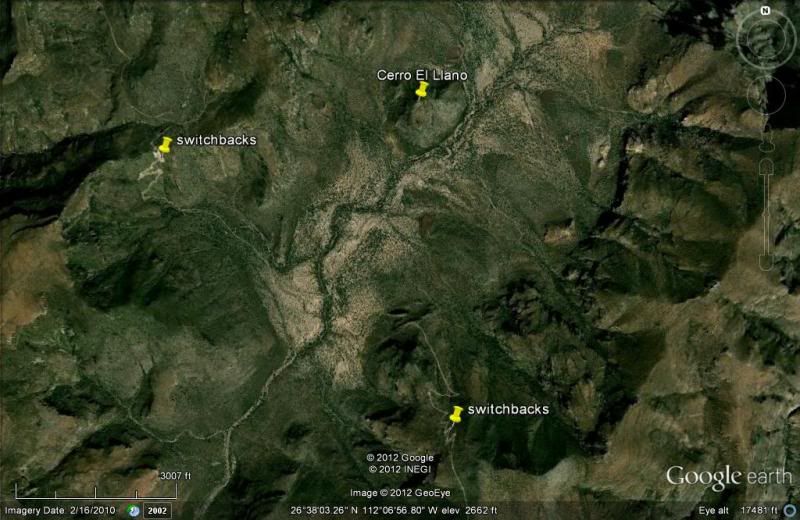
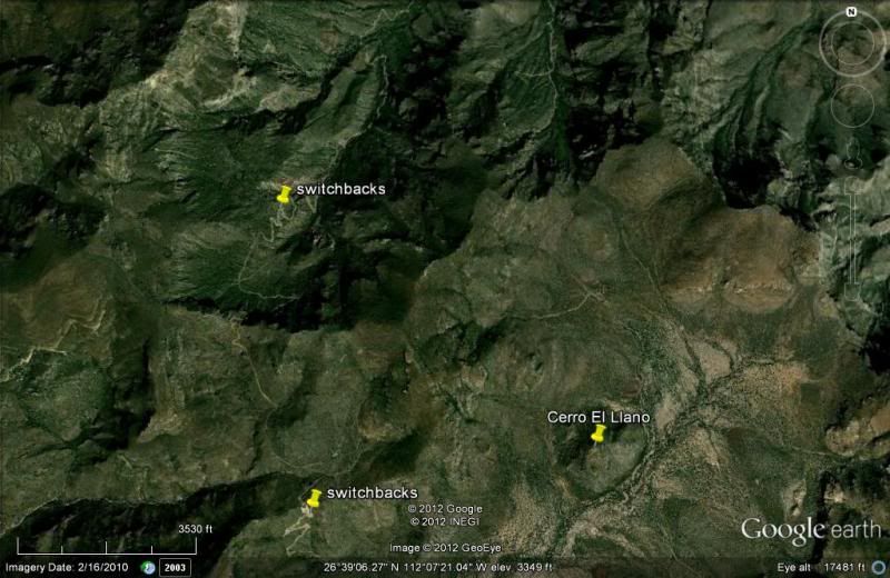
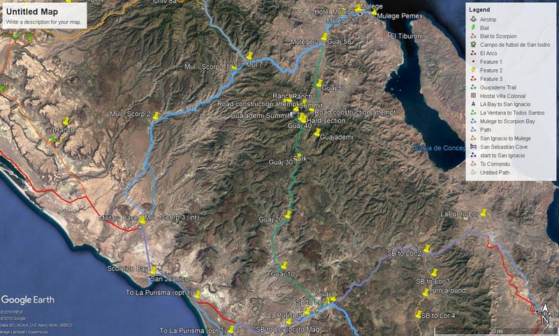
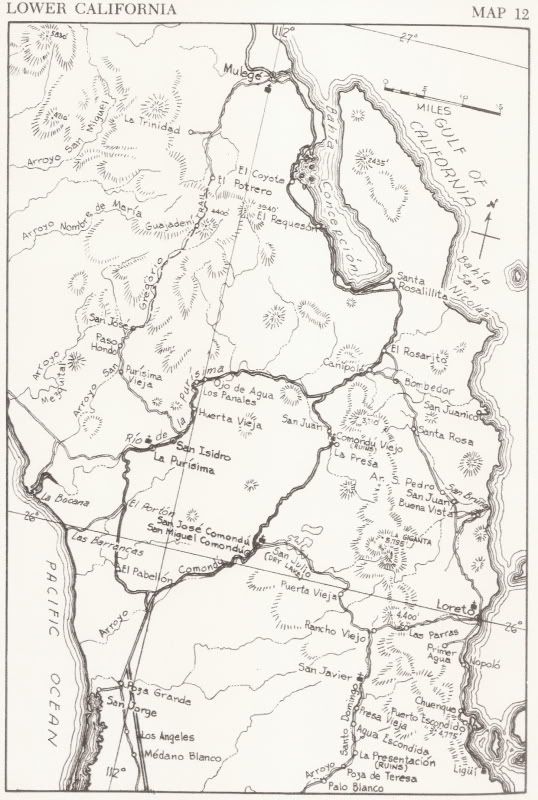
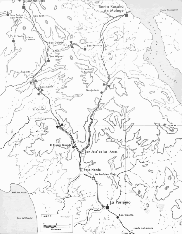
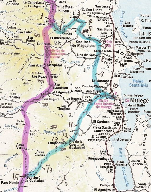
EL LLANO is up and west of SAN JOSE DE MAGDALENA... But, that isn't on any road from La Purisima to Mulege... so a different El Llano...
How did you arrive into Mulege, from what direction, what road... ?? Did you turn back at Paso Hondo... or continue driving north towards Mulege...
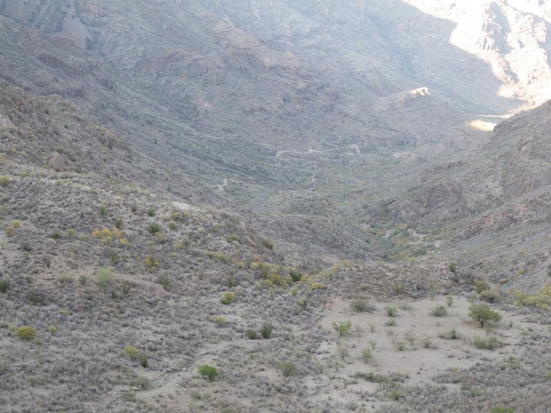
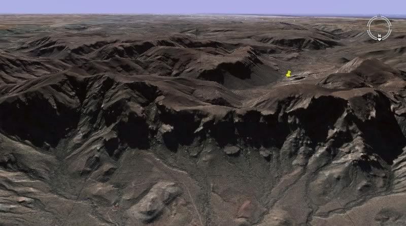
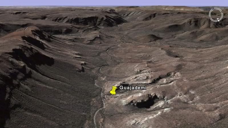
The only road/ pass is through Guajademi. Other routes west from Mulege pass San Miguel and come out north of San Juanico (Scorpion Bay) or pass
Mision Guadalupe and on to the Pacific south of San Ignacio. |
Thanks for responding, David, and a big thanks
for the detailed maps which I've studied and re-studied.
It appears we were on the correct road.
To clarify, remember I'm describing the journey south-to-north, La Purisima to Mulege: Coming out of Paso Hondo we did take the left fork
signed "El Llano" after turning around from Guajademi (which is just east of the main road and isn't a town-proper but a collection of isolated
sheep ranches, btw).
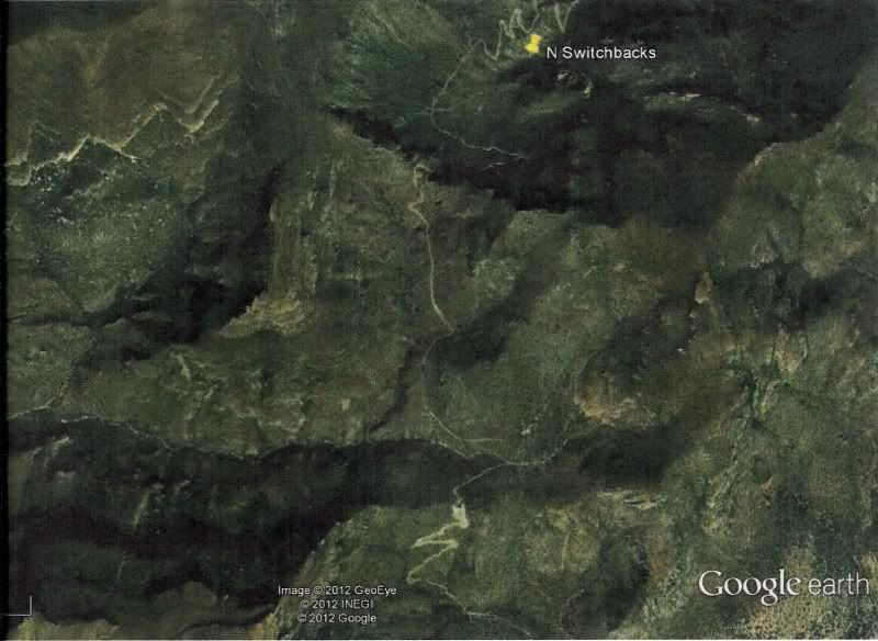
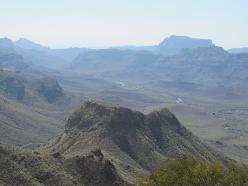
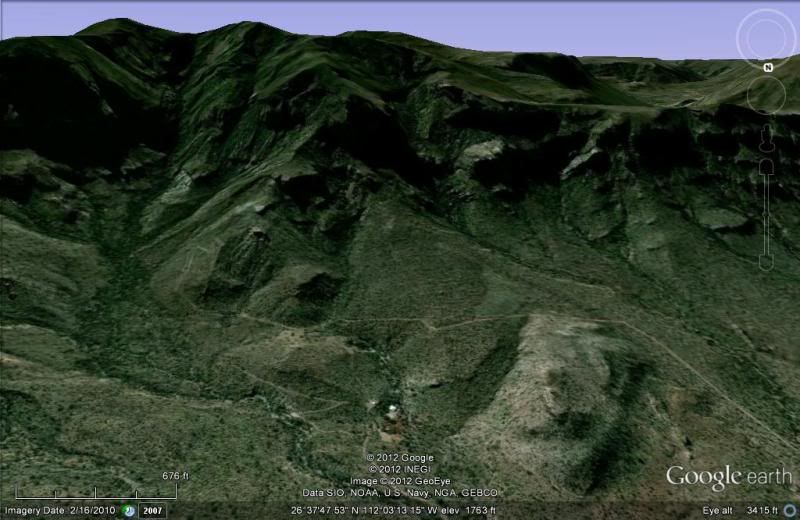
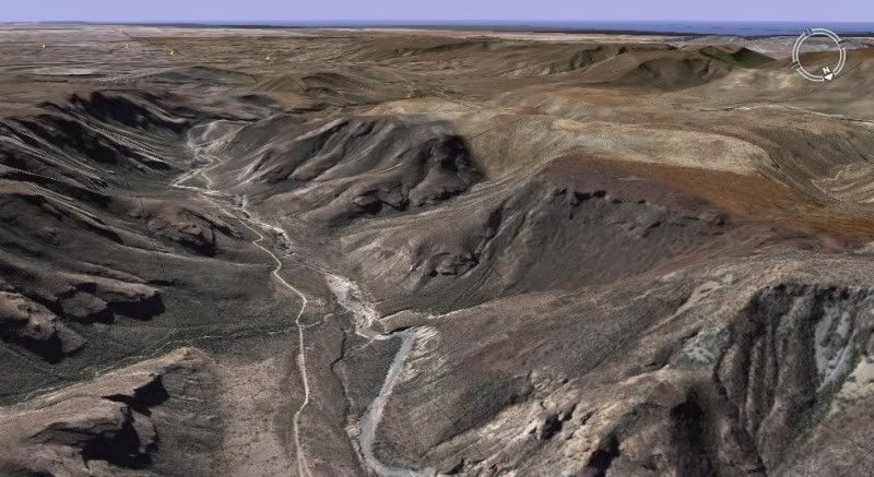
We climbed up onto a high plateau and I thought we'd reached Tibet.
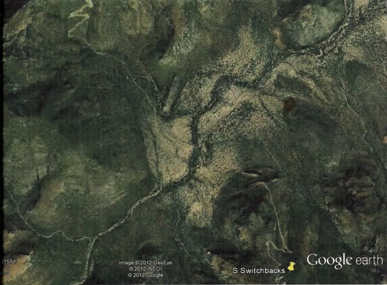
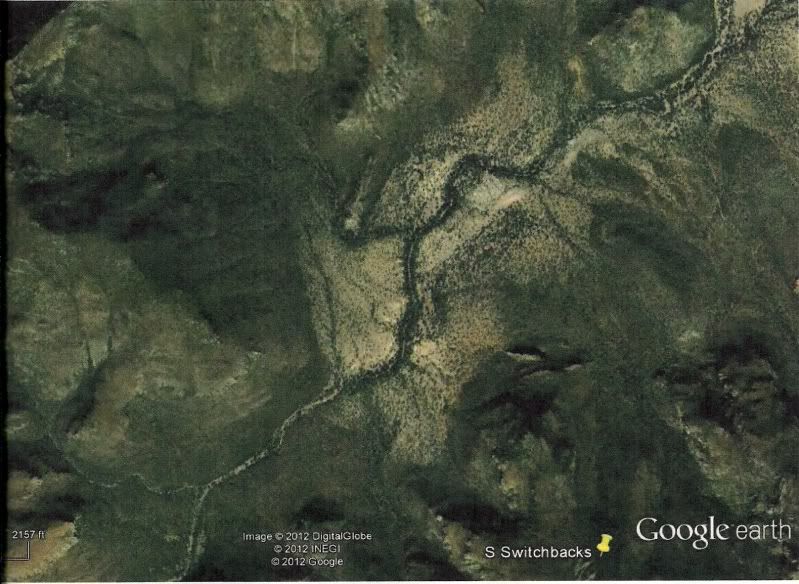
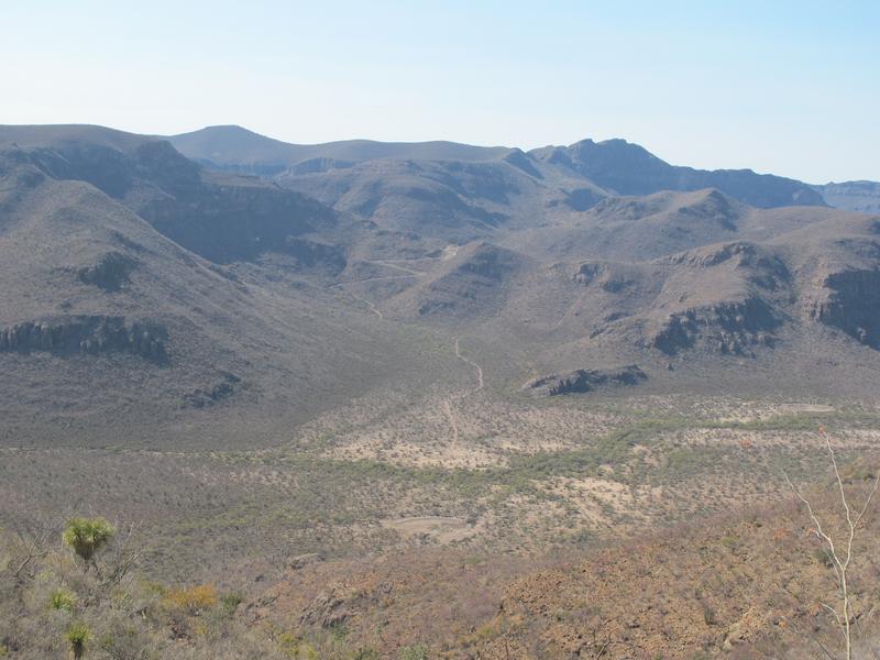
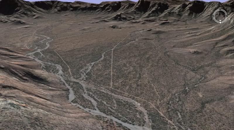
Then we came to a Z-track, very serious percentage, down-grade which opened up onto a high plateau which had about 5-6 dirt-depressions
(tajos/re-pressas) for collecting seasonal rain. Slowly down, cross through the flat valley, then another Z-track up to the plateau on the other side.
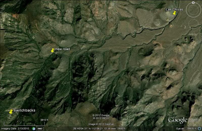
Then through a ranch gate and down a big mountain.
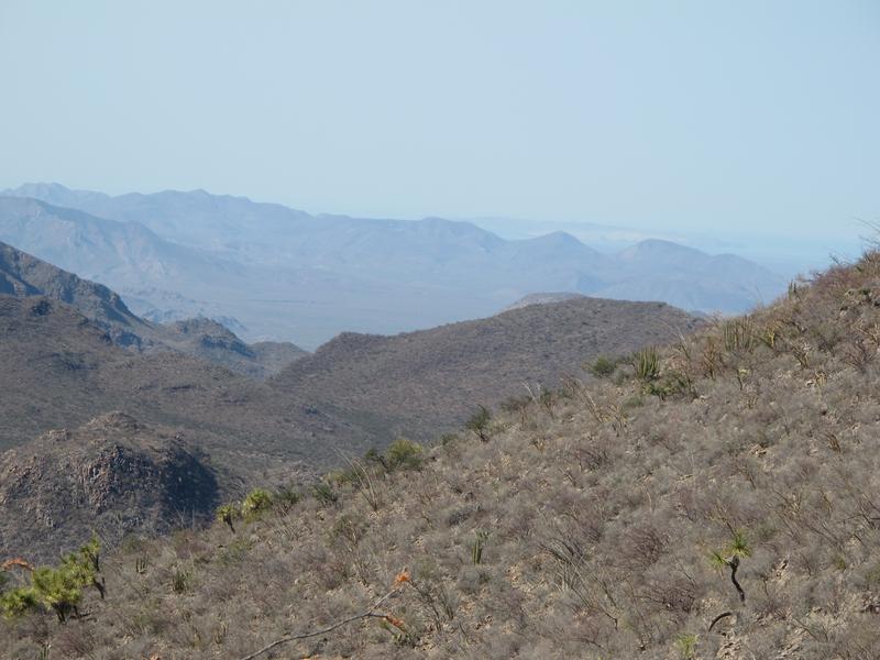
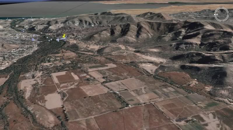
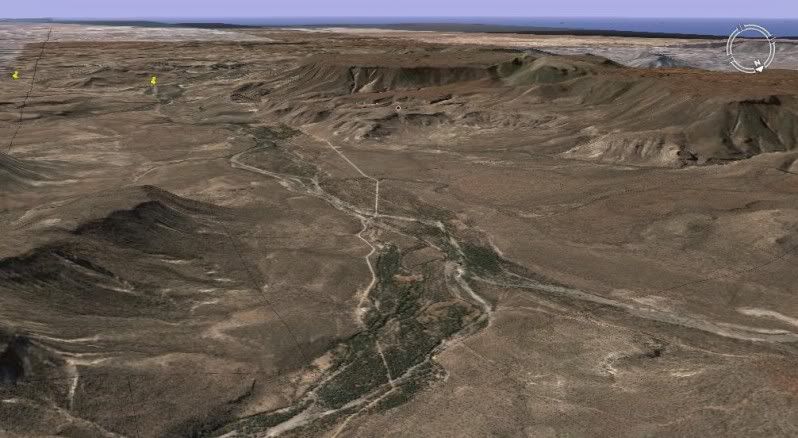
Went through another ranch gate and passed two signs to "Rancho El Llanito" and another hour or so to come into the south-west Mulege river-wash area.
The sign to Rancho El Trinidad and the cave paintings was on our left and we came into town on Ice House Road.
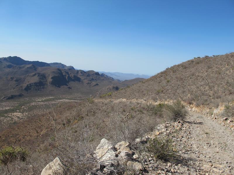
So, yes, the road from Mulege to La Purisima via Guajademi is passable and even machine-graded where it can be. Where its not graded the road
is steep and large rocks.
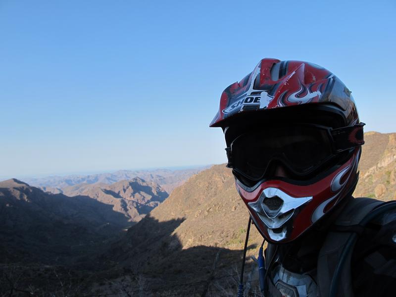
We got through easily in our 1988 Chevy s10 4x4 pickup. I took lots of photos, and I'd love to do a trip report on a separate thread.
|

 )
)