Originally posted by geoffff
| Quote: | Originally posted by bacquito
Great report-thanks!
Were you traveling alone? What navigation equipment do you carry? Is much of your trip planned in advance via sat. photos? |
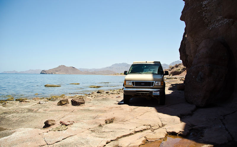
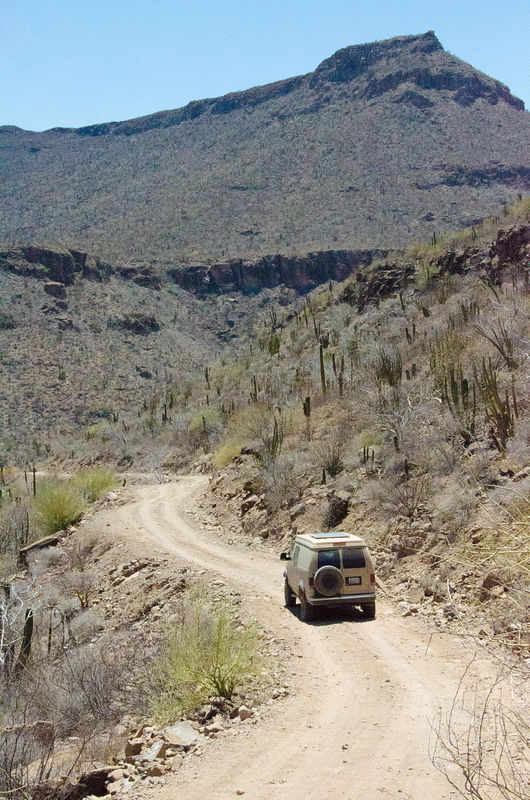
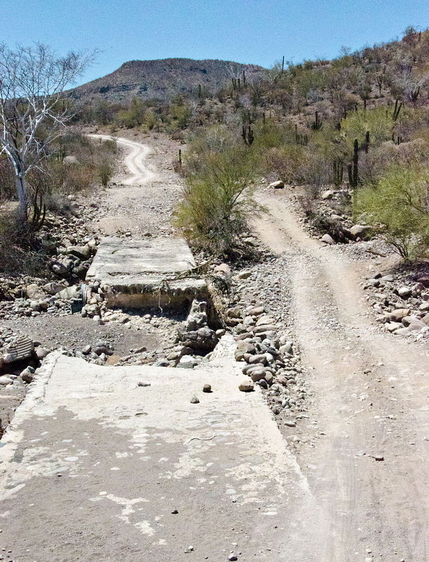
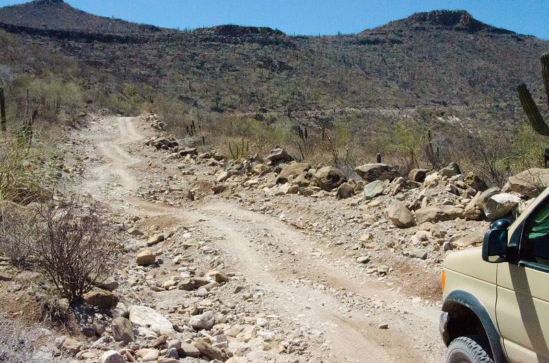
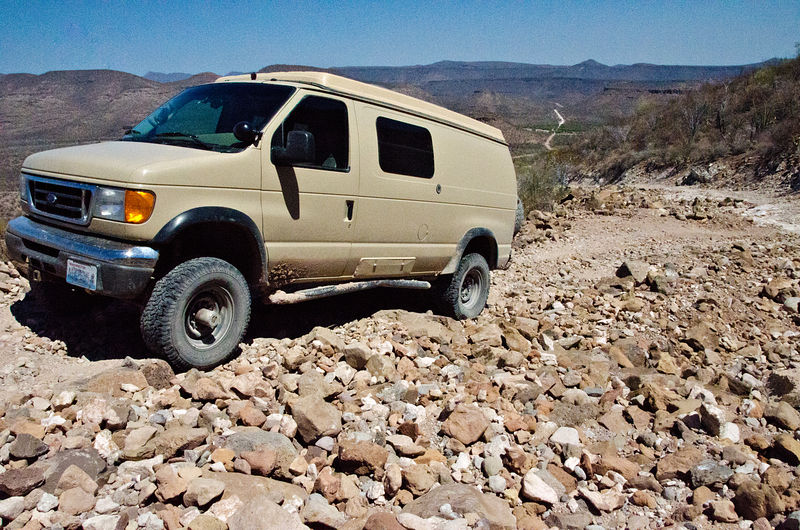
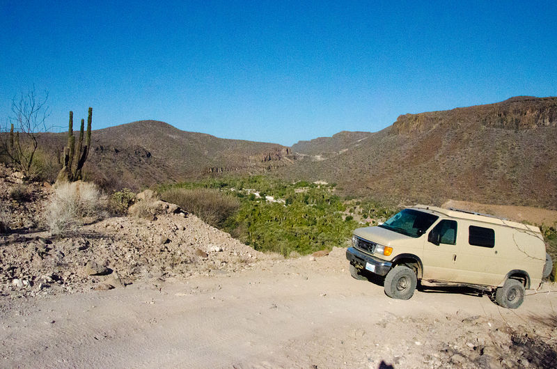
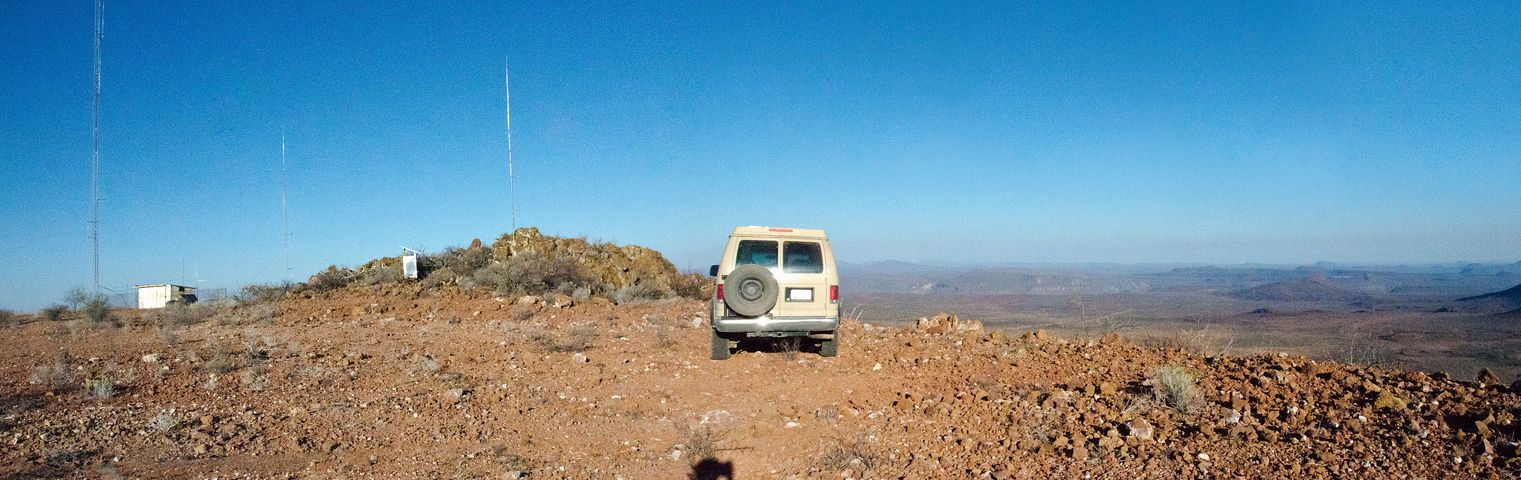
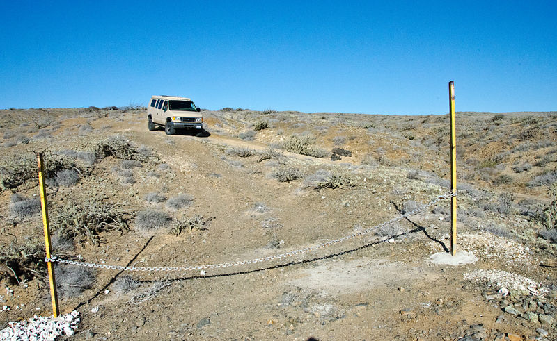
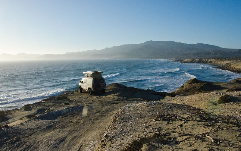
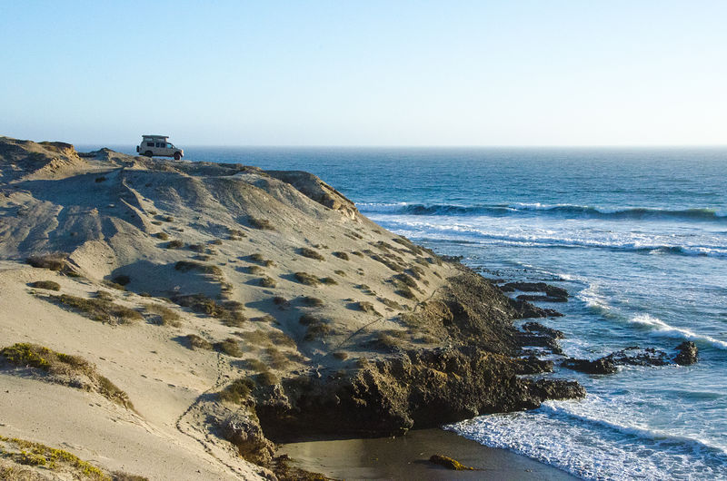
Yes, this trip was done alone. While I do often travel with family or friends, the introvert in me sometimes craves the total freedom of time
adventuring by myself. I frequently hear how it's considered foolish to get yourself far from civilization without a backup vehicle -- but it's a
risk I take with my eyes open. I bring a mountain bike (disassembled inside the van), oodles of water, a satellite phone (rented), a cheap Mexican cell phone, a Spot device -- and, in general I'm pretty crafty field-repairing things. Even on the most remote parts of my trip, I was never more than a few
miles from ranchos, fishing villages, or recent-looking tire tracks.
In my car, have maps of Mexico showing on a little touchscreen notebook computer (Asus Eee PC T91MT) mounted on my dashboard connected to a GPS.
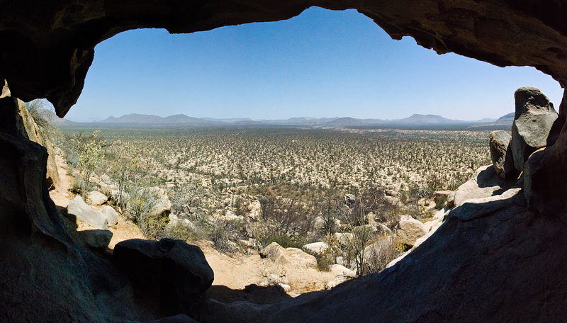
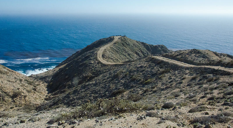
I spent much of my free time before this trip studying books, maps, and the internet (especially this forum, and including Google Earth). If you are
exploring a new regions in Google Earth, look for the subtle little photo icons to pop up. A well-placed photo can indicate an adventure treasure.
-- Geoff
[Edited on 6-28-2012 by geoffff] |