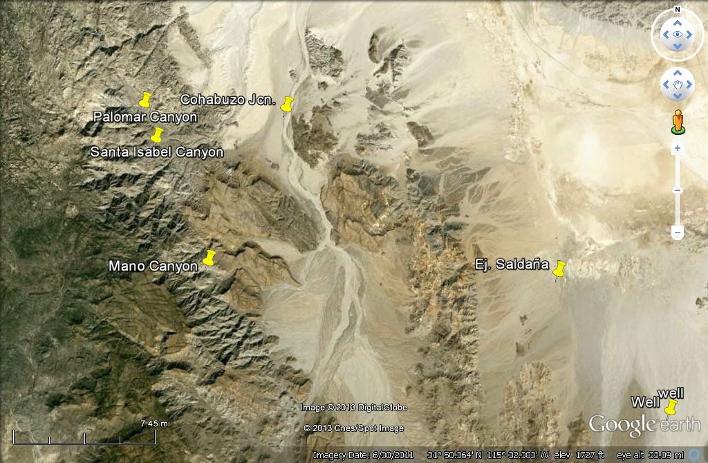
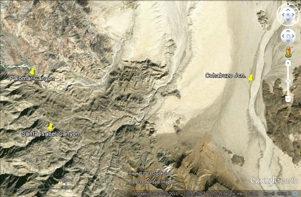
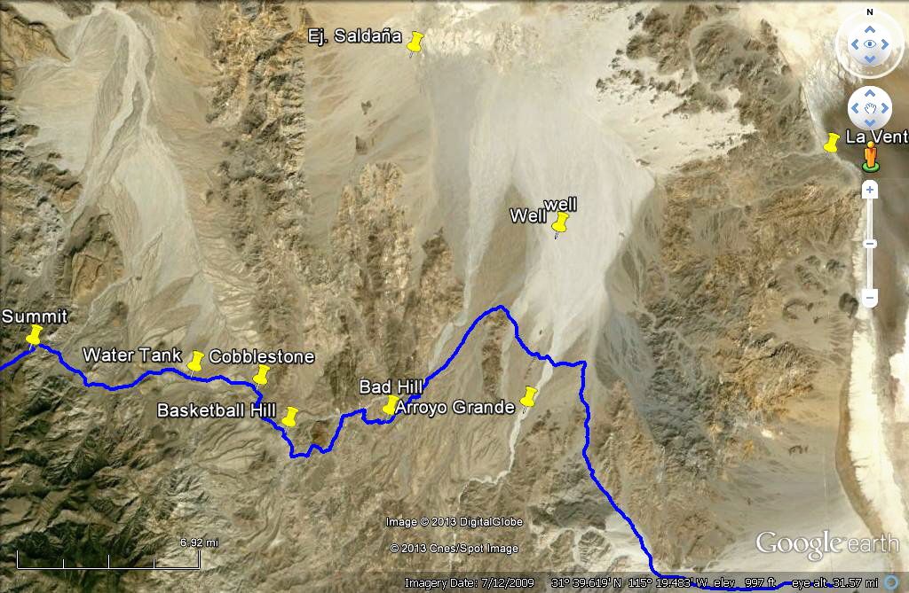
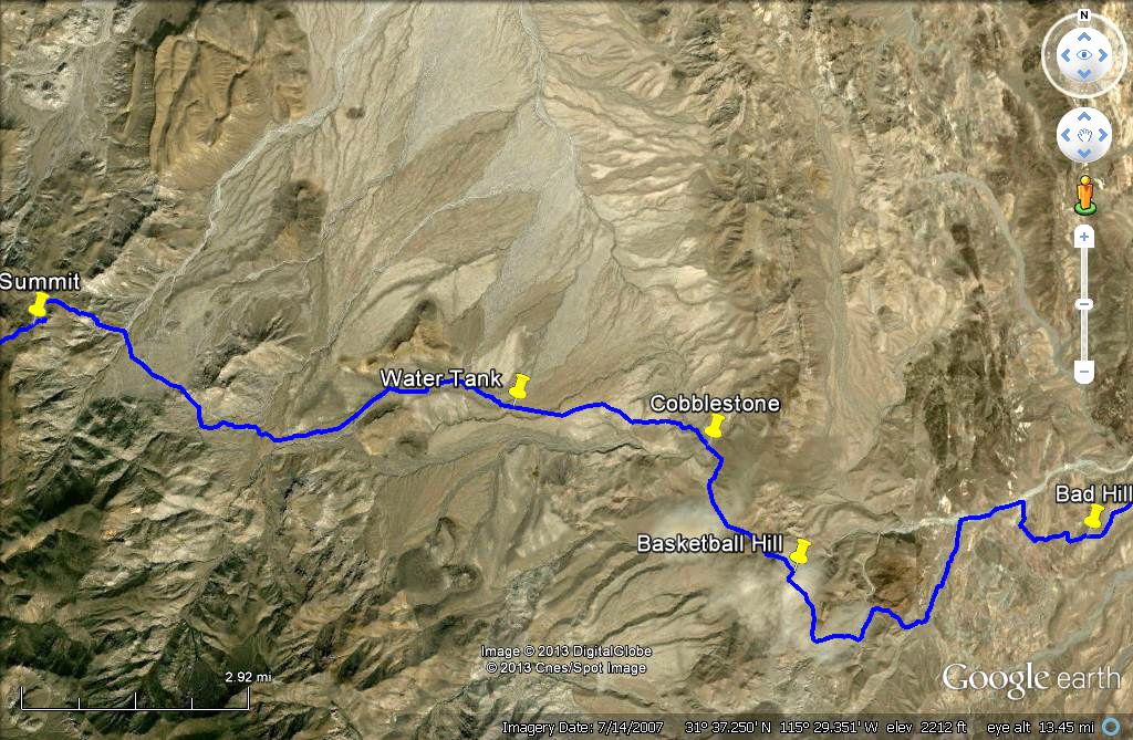
Originally posted by David K
I usually state the map datum when I posted GPS waypoints... So, double check before you enter a waypoint in your GPS device. Changing the map datum
is easy, and after entering the NAD27 Mexico numbers, you can change back to WGS84... the numbers will be close, but still far enough apart to miss a
side road by 100 feet or so! |


 Leidys
and I will see you in Calexico (after your meeting). Drive safely and have a successful meeting.
Leidys
and I will see you in Calexico (after your meeting). Drive safely and have a successful meeting.