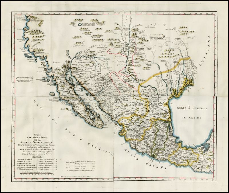
Quote: Originally posted by David K  |
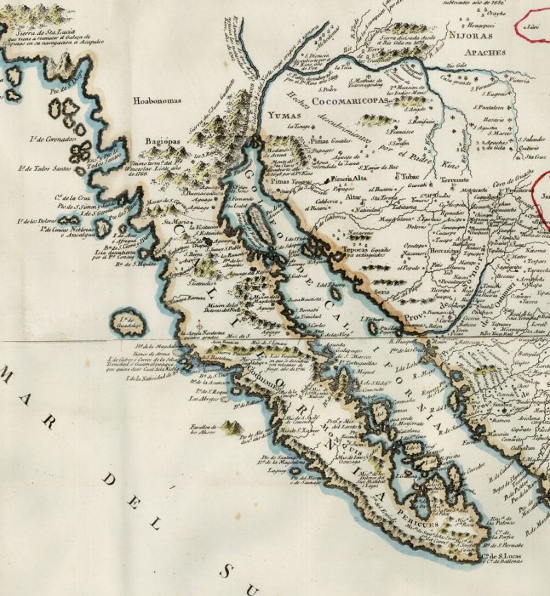
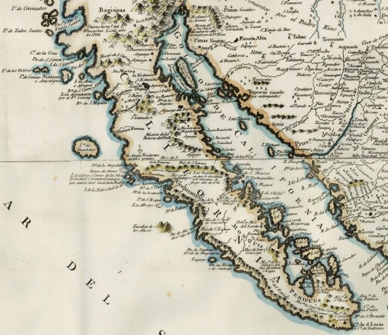
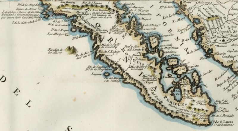
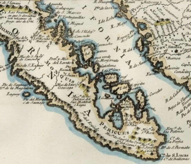
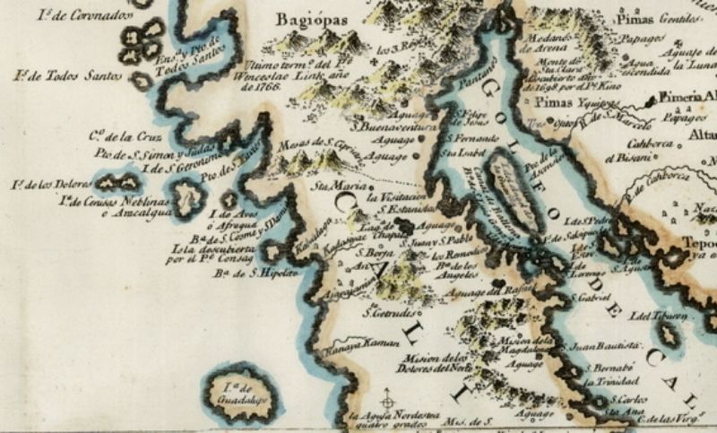
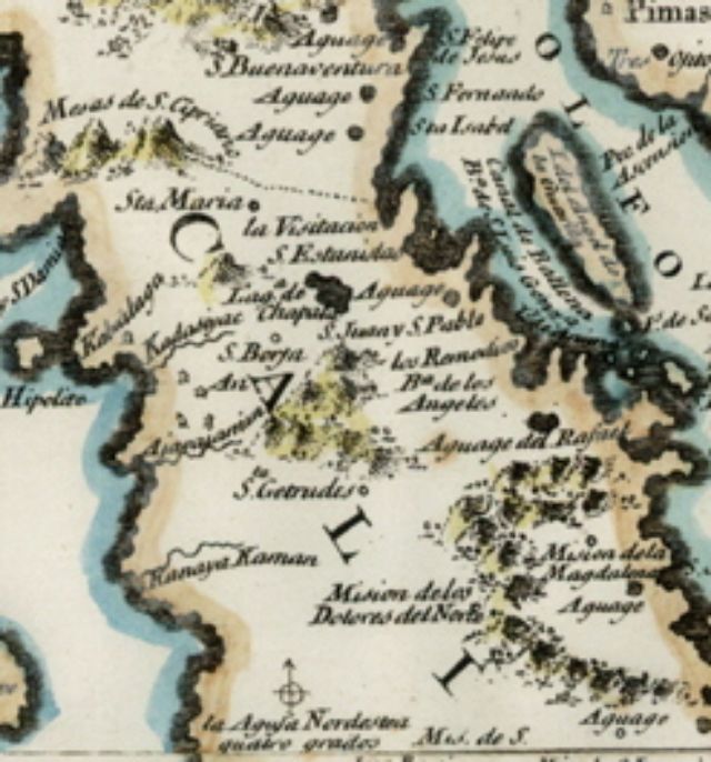
Just looked at the antique map website and I see one from 1720. There could be others, naturally. California was shown as a peninsula in the 1500s, as
well. |
California is still a "peninsula"-------slowly drifting away from the USA to become an island. I know because I live here, and wondering how to get
out or off. |