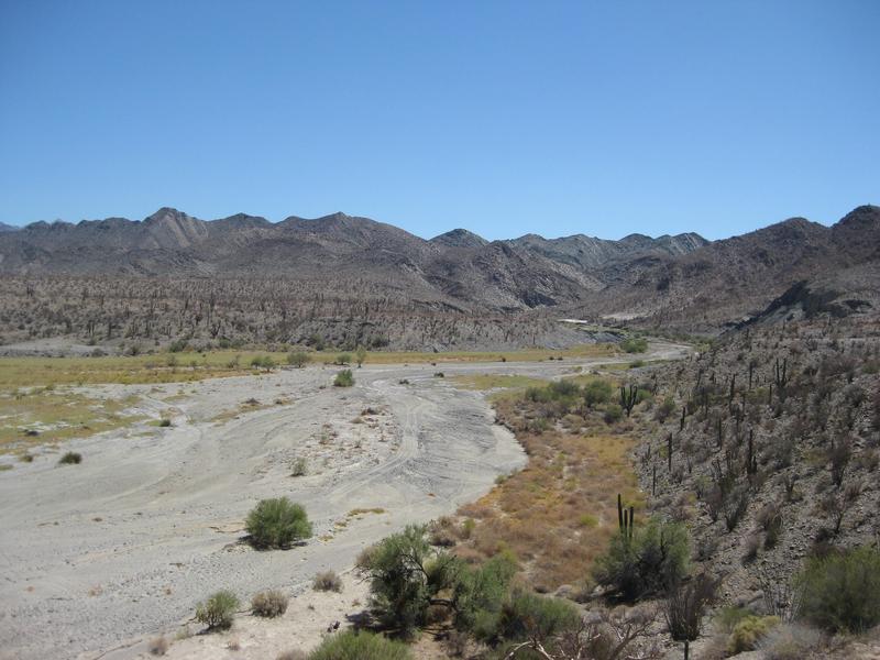
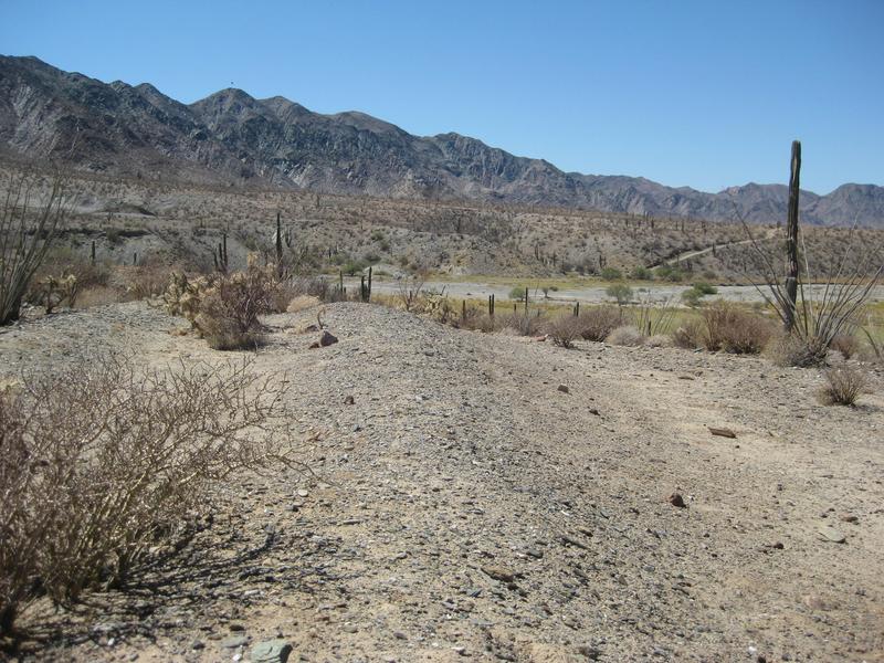
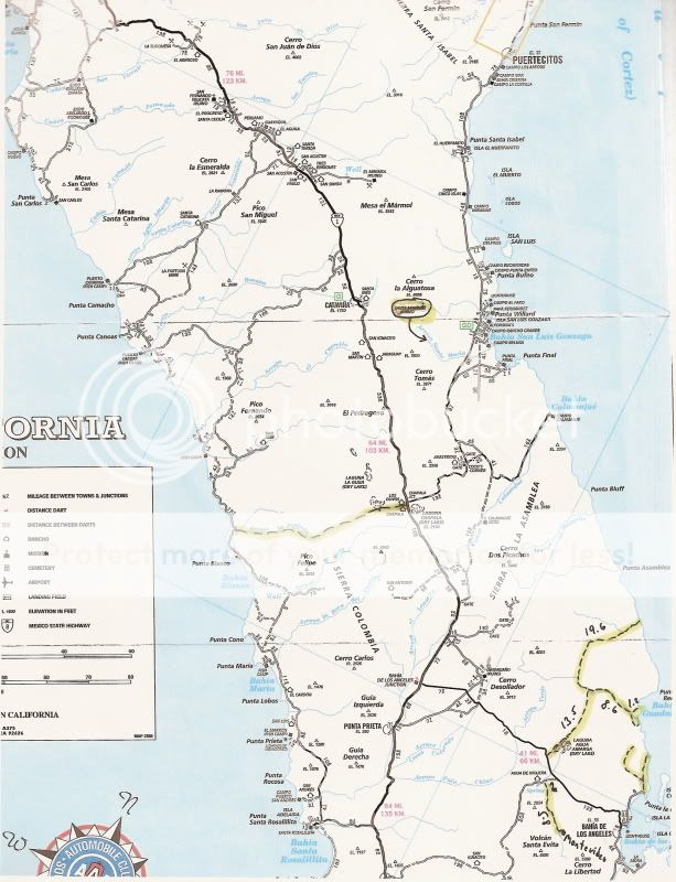
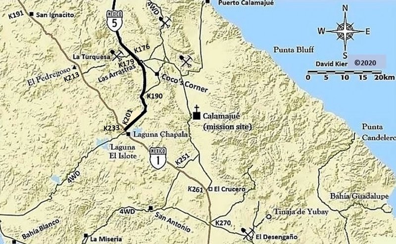
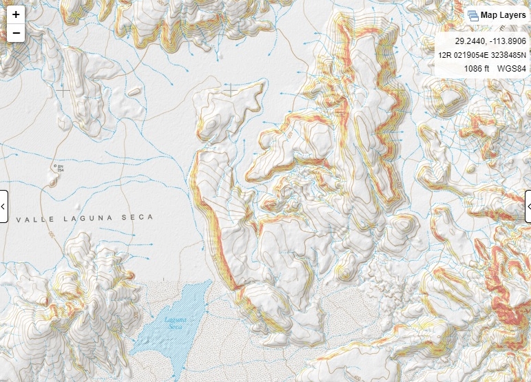
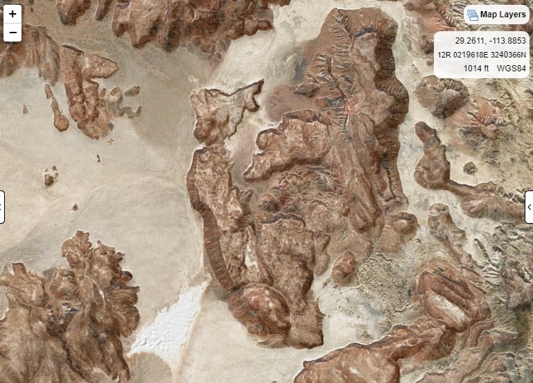
| Larry C, I have all my Baja almanacs in Baja so I can't reference Lat/long for you, if you look in the almanac you will see a spot called Laguna Seca,
there is a Y before you enter it, the east leg goes to Condelero beach thru the canyon, if you go to the north end of Laguna Seca it dead ends at a
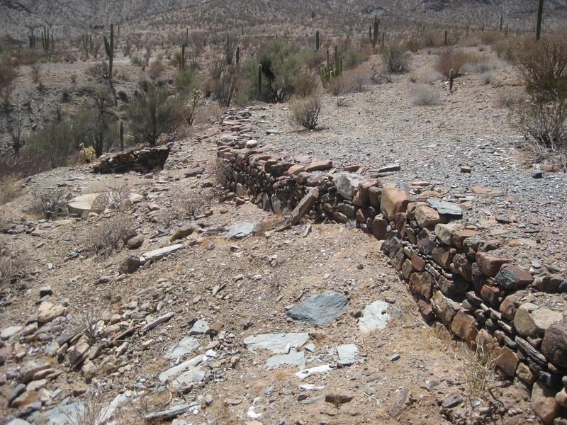
mountain range, Bill Nichols cut a single track up the rocky hill, it is a rough trail, it parallels the coast then opens up toward Calamujue fish
camp, it is east of Calamuje wash, then the trail continues north and uses the Pioneer Mine trail to get to Gonzaga. |