Originally posted by BornFisher
| Quote: | Originally posted by willardguy
| Quote: | Originally posted by BornFisher
| Quote: | Originally posted by dpwahoo
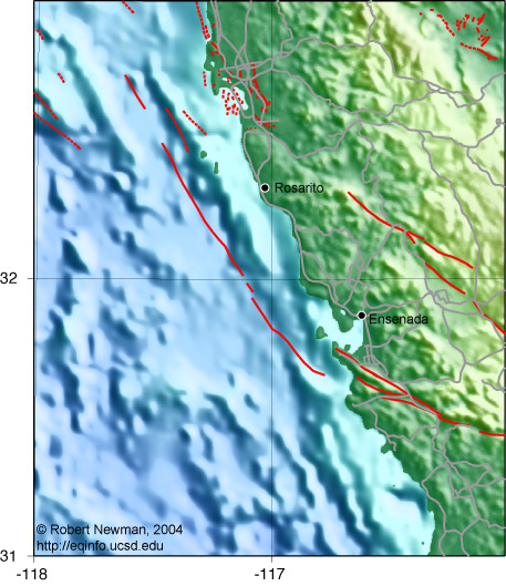
So, if you live in La Salina you cant get through? What about playing golf at Bajamar? That would devestate those two establishments.
|
All I know is that Saturday morning we could get back to the toll road south of the road block. Another thing-- the gas station with the OXXO was
open. So if you are craving coffee, liquor, cigs, doughnuts, cookies or whatever, stop on by!! |
so you
crossed the bridge going into la mision and followed the road on the south side of the river coming out in punta piedras? interesting shortcut they
gave you! |
Yeah that is the road. Shortcut??? Not going south, maybe coming from the south and then over to the toll road. I`m not talking about a shortcut that
someone gave me, just saying that La Salina and Bajamar can be reached on this road if they don`t let you through the road block.
|