Originally posted by bajajudy
Whoa
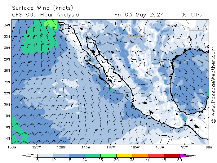
We just got hit by that YouTube cloud.
42 mph gust, pitch black dark, buckets of rain
Lost power for about an hour
Much lighter now, no wind or rain.
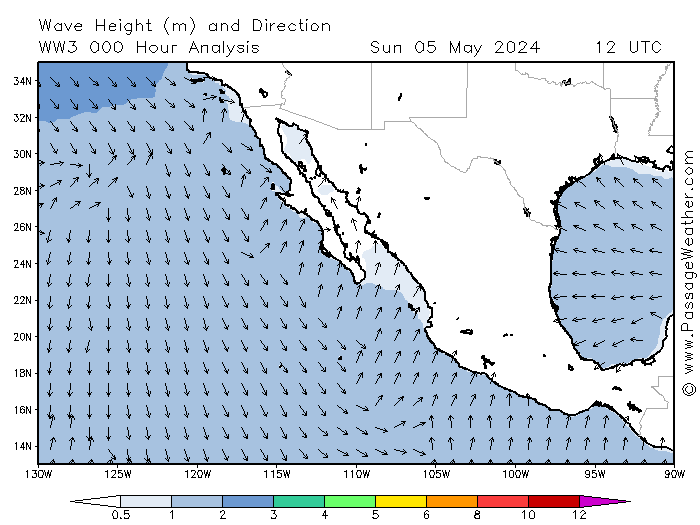
Went to the beach
Probably 25' waves. The biggest I have ever seen here.
Water rushing down the loading ramp as the pangeros scramble to get their boats out.
That northern jetty is all alone with the sea all around.
I will continue to report as I can
To be honest, I thought that that was the beginning and that it would be non stop until tomorrow. VERY thankful for this breather.
Y'all take care |