Originally posted by Ken Cooke
| Quote: | Originally posted by PaulW
| Quote: | Originally posted by lsclav55
Would it be possible to make the trip with polaris ranger. One night camping or two night camping. How much highway travel???
|
====
Depends on how much fuel you can carry. Round trip from San Felipe is a little over 200 miles. Don't know where you will start so cannot answer your
Q?
Plenty of Hwy travel unless you want to leave a truck/trailer some where. Probably not a good idea. Just put your helmet on for the HWY. Mexico will
not hassle you.
Do it.
PAUL |
Thanks for responding, Paul. Fuel is the big issue. But, since pickup trucks will be going, perhaps they can carry gas in their truck beds for you?
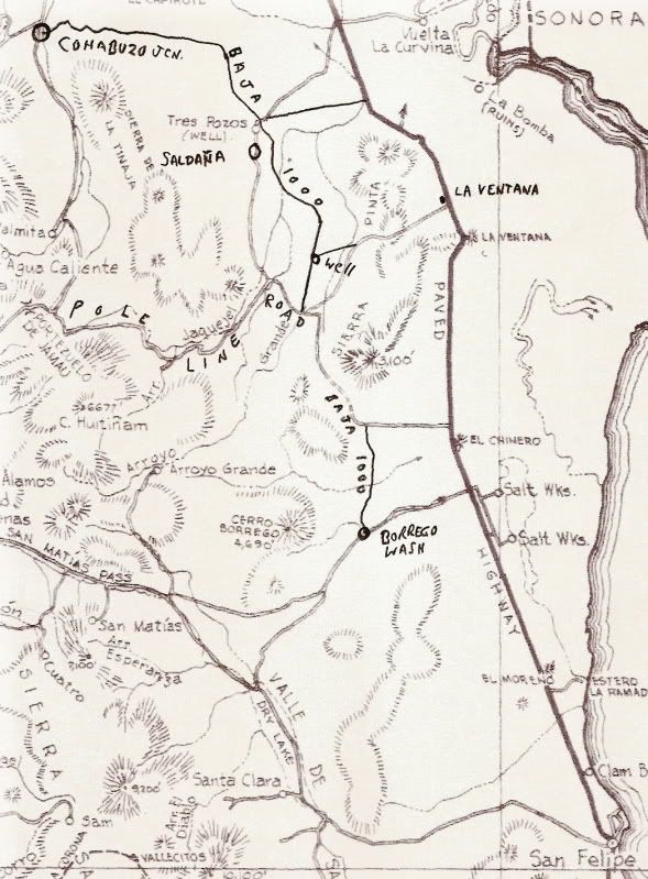
Our plan will be to meet up at Pep Boy's - Calexico, CA [Imperial Blvd.] From there, we will do brunch in Progreso after gassing up our vehicles at
the Pemex there.
Plan to hit the Laguna Salada nice and early - about 10 am - run til noon to Cohabuzo Junction, then to the South Summit/Entrance to Pole Line Road.
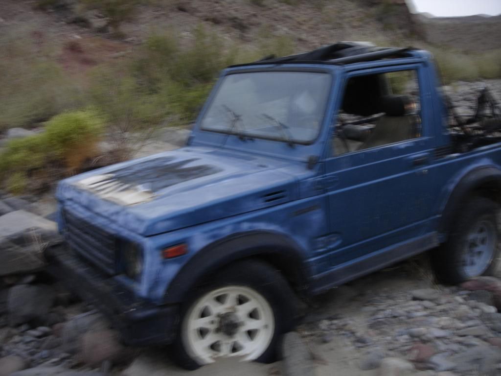
If we don't fool around too long, we can make it to the base of Basketball Hill to camp out in the wash. With our vehicles empty of camping gear, we
can crawl the 1.1 miles down Enmedio to the Zuki and back early the next morning. From there, load the rigs, and hit the trail.
We can do 2 nights, 2 days by camping in Jaquegel within sight of Hwy 5 and then leave early Easter Monday for Calexico and points north. That way,
we aren't stuck traveling in the city after dark. I will have to depart EARLY Monday morning for home. Some can stick around and look for the Lost
Diaz Grave if David K is able to attend.
This sounds like it will be a great run!  |