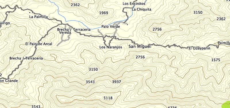
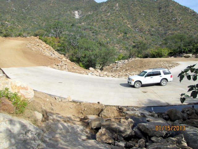
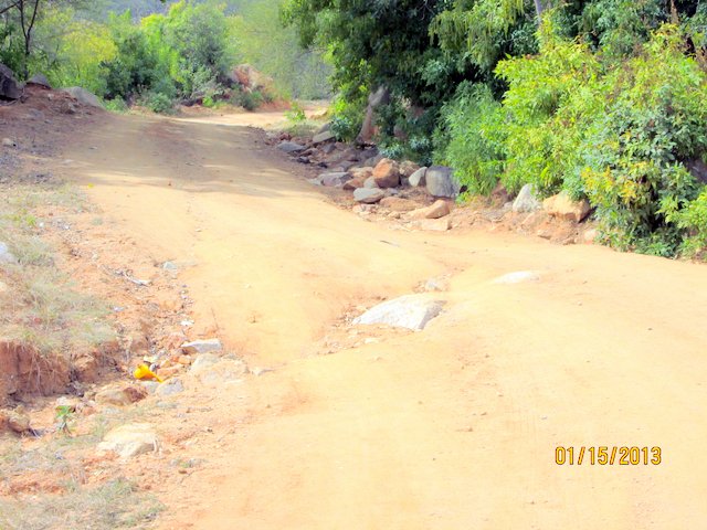
We just drove that road on Dec 4th, after the big rain storm, from the Hwy 1 going West. The first part to the Sierra was nicely graded, then we
noticed very recent dozer tracks. A few Km up the grade, we finally passed a working Caterpillar, and the drive became more interesting. The rain had
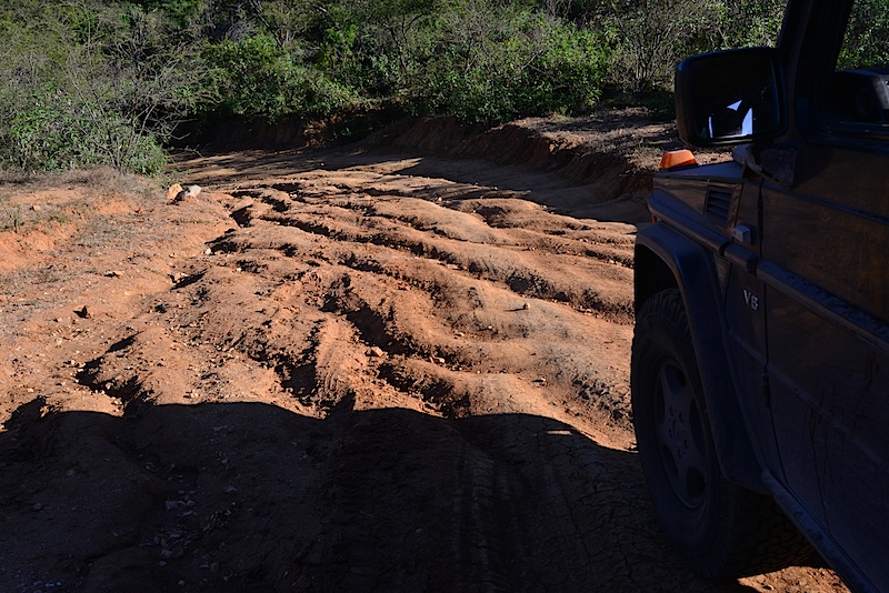
left deep ruts in the dirt road, but easy to navigate through. You could tell, that the road had been maintained over the years, and I noticed many
concrete sections/culverts since my last drive in 2009 on that road.
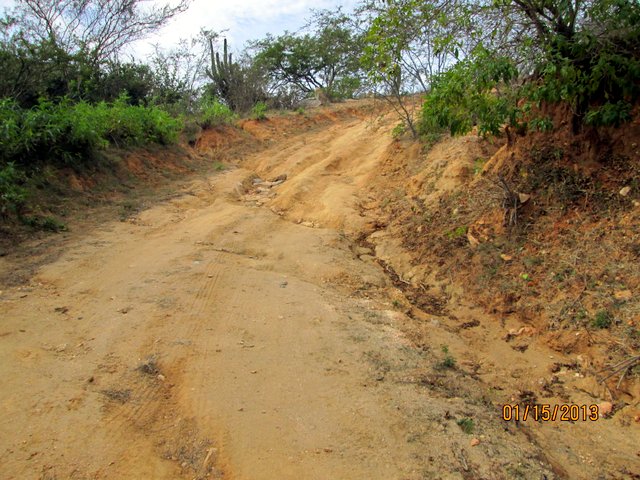
Towards the top, the road got much narrower, and had not seen a dozer/grader in a long time. We encountered many washouts now, and three of them were
quiet restrictive for larger vehicles, like a full size trucks. That road damage would be not easy to repair, in narrow turns with steep drop offs. It
was very apparent, only few recent tire tracks, which indicated not much vehicle traffic here. The now western portion of that road was less severe
damaged, compared to the eastern section. A few Km further the road got recently graded again, all the way to the Cabo - Todo Santos Highway.
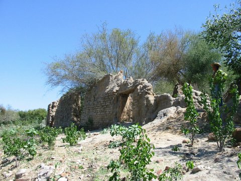
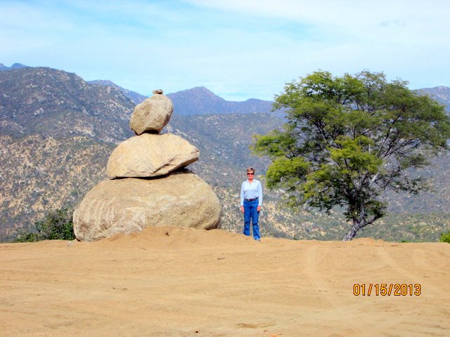
Overall, a very pleasant afternoon drive through the lush green Sierra Laguna mountains. |


 [/URL]