


Quote: Originally posted by TMW  |
| Quote: Originally posted by TMW |
| Quote: Originally posted by Emerson |

| Quote: Originally posted by Emerson |
| Quote: Originally posted by David K |
| Quote: Originally posted by PaulW |


| Quote: Originally posted by David K |
| Quote: Originally posted by David K |
| Quote: Originally posted by Ken Cooke |
| Quote: Originally posted by David K |
| Quote: Originally posted by Ken Cooke |
| Quote: Originally posted by PaulW |
| Quote: Originally posted by Ken Cooke |
| Quote: Originally posted by Ken Cooke |


| Quote: Originally posted by David K |
| Quote: Originally posted by PaulW |
| Quote: Originally posted by Emerson |
| Quote: Originally posted by PaulW |
| Quote: Originally posted by David K |
| Quote: Originally posted by Emerson |


| Quote: Originally posted by Emerson |
 Unfortunately Brooks (Taco de Baja) or his sister Libby might have taken some pics but
they are on a family vacation in France for a couple weeks.
Unfortunately Brooks (Taco de Baja) or his sister Libby might have taken some pics but
they are on a family vacation in France for a couple weeks.| Quote: Originally posted by Emerson |


| Quote: Originally posted by 4x4abc |
| Quote: Originally posted by David K |
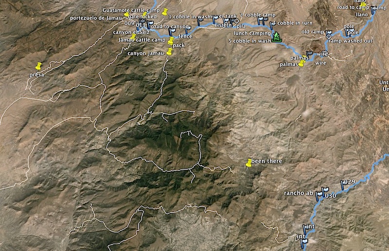
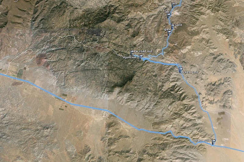
| Quote: Originally posted by 4x4abc |
| Quote: Originally posted by 4x4abc |
| Quote: Originally posted by GonzagaBayMan |
| Quote: Originally posted by PaulW |
| Quote: Originally posted by 4x4abc |
| Quote: Originally posted by 4x4abc |


| Quote: Originally posted by Mexitron |

| Quote: Originally posted by David K |

| Quote: Originally posted by 4x4abc |
| Quote: Originally posted by TMW |
| Quote: Originally posted by Mexitron |
| Quote: Originally posted by David K |


| Quote: Originally posted by David K |