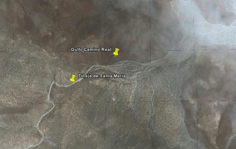
Ok-just to throw in a thrill and mystery. I found something foundation-wise but wheels won't get you there and it was very overgrown. Even my old
friend who knew the area as a kid working cows had no idea it was there until I showed him the squared rock foundation corners under the dense scrub.
Years ago I mentioned it to Harry and he said no, too far from mission X, but it was big and very old....some day I will head back up there and clear
out the overgrowth but it will definitely be in the cold of winter because of the snakes....LOTS of rattlesnakes. |