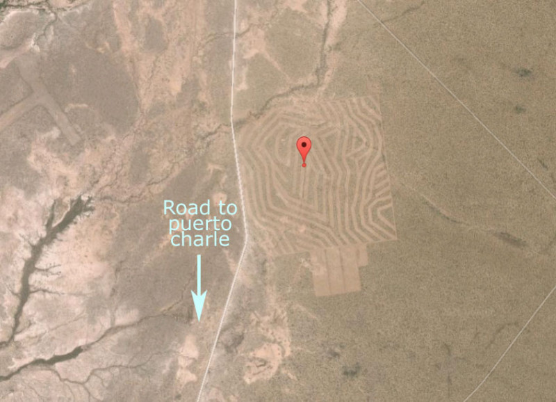
punta canejo sounds nice, I believe it is still a snd/gravel road in.
what/where are the good maps shown above from??
much better than the POS NATIONAL GEOGRAPHIC MAPS I HAVE!!!
as we all know much has changed in the Baja since 1985 plus we all have a few more years/miles on us since then, sure wish we could reverse the
clock!!!! |