I was sent some pretty cool off roading photos today and told I could share them with you guys...
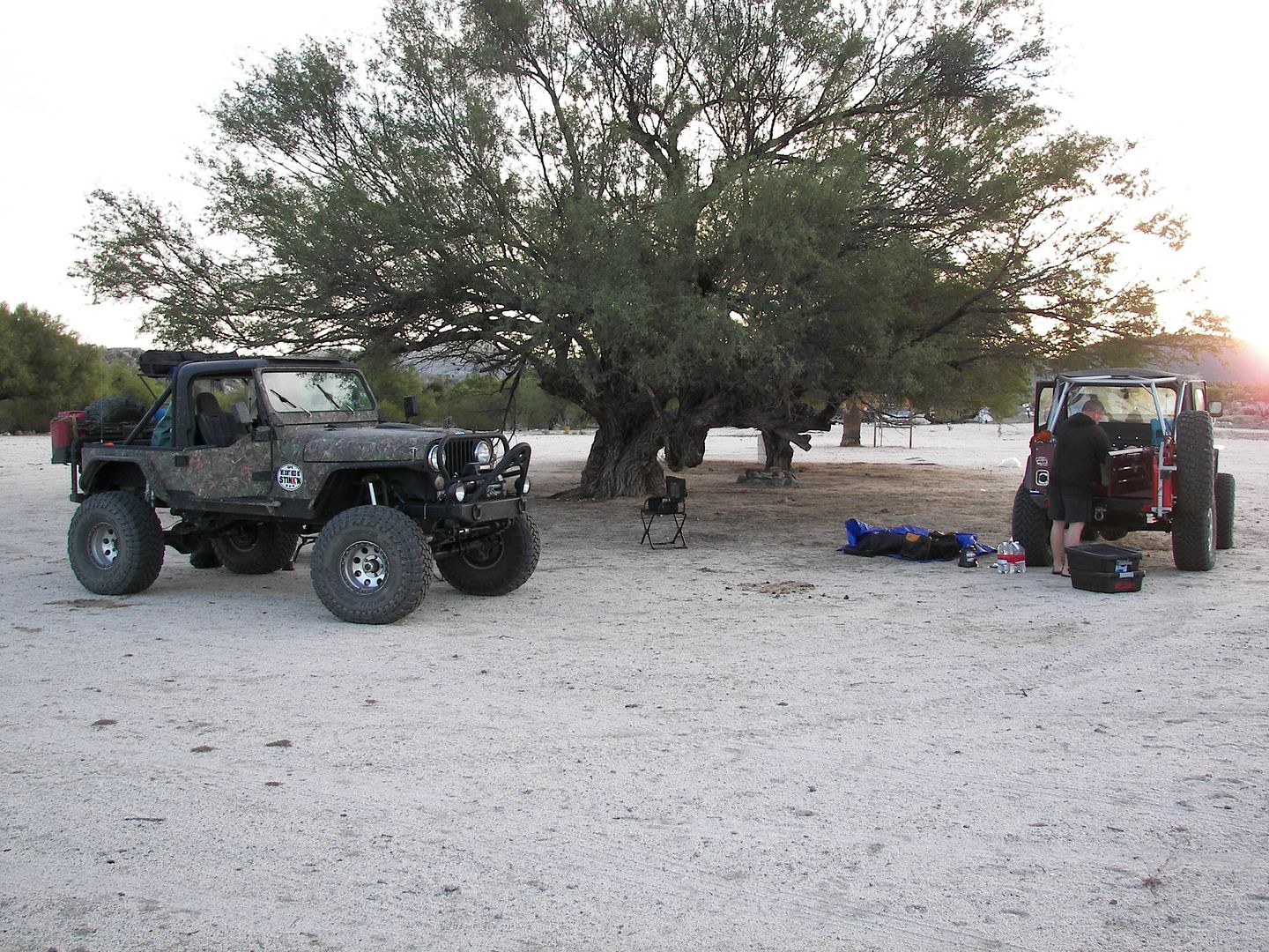
Start of Trail, Rancho Santa Ynez.
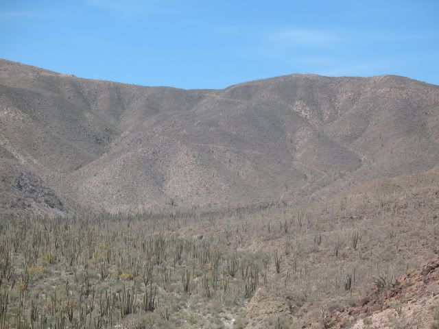
Nearing the Widowmaker, view about 2-3 miles west of the mission.
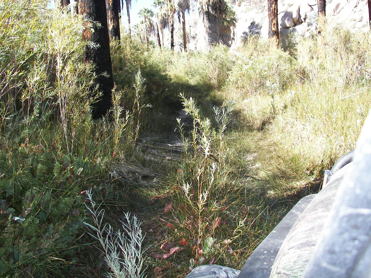
The Bog, but dry... less than a mile from the mission.
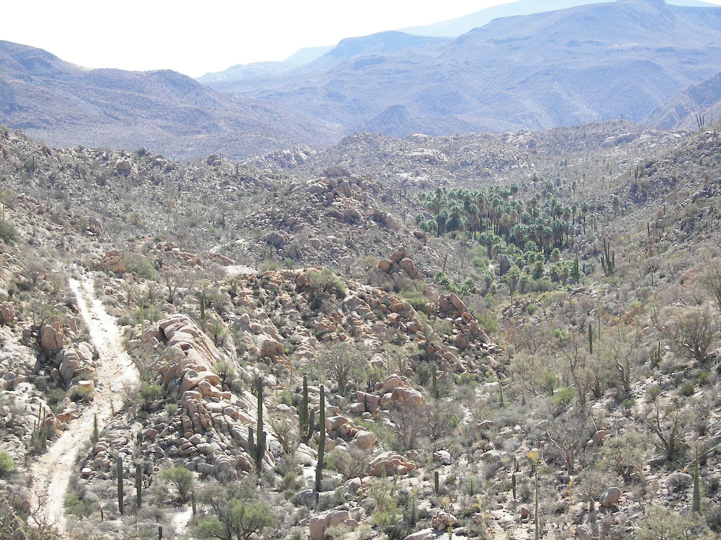
Just over 2 miles east of the mission, on the long-ago bulldozed roadbed that ends on the ridge, above the deep canyon (where road construction to
Punta Final was abandoned by Fred Hampe in the late 1960s).
+++++++++++++++++++++++++++++++++++++++++++++++++++++++++
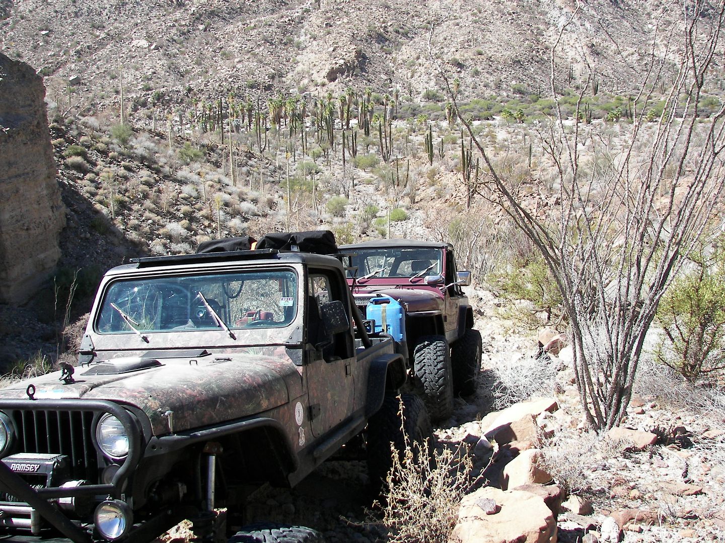
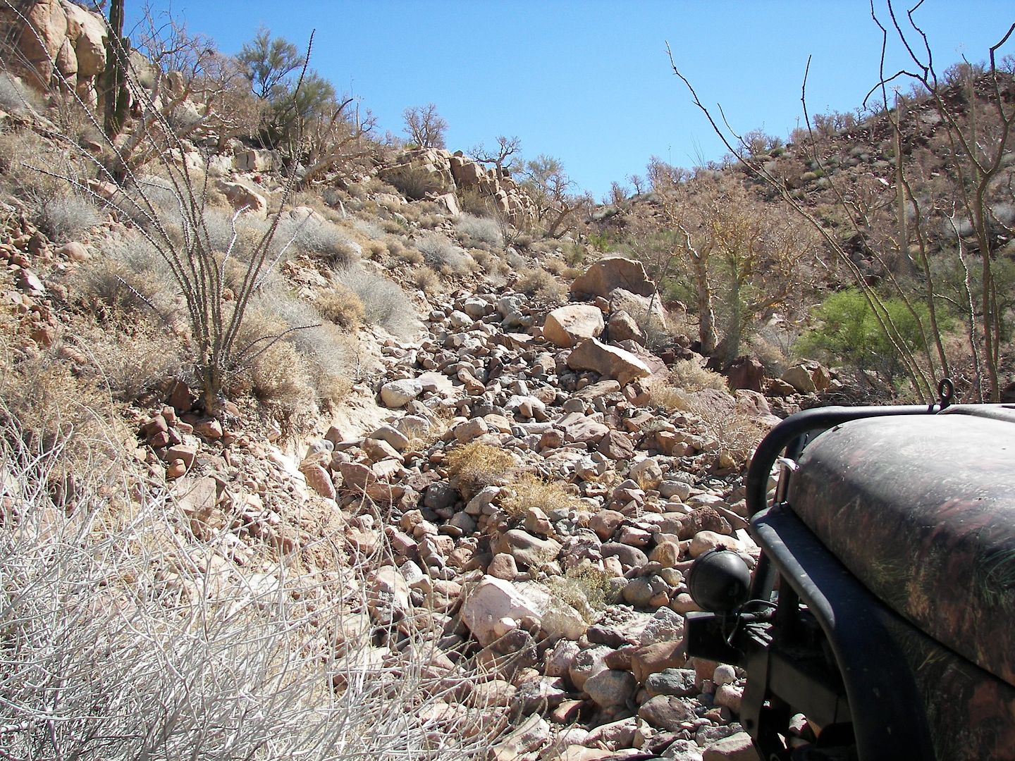
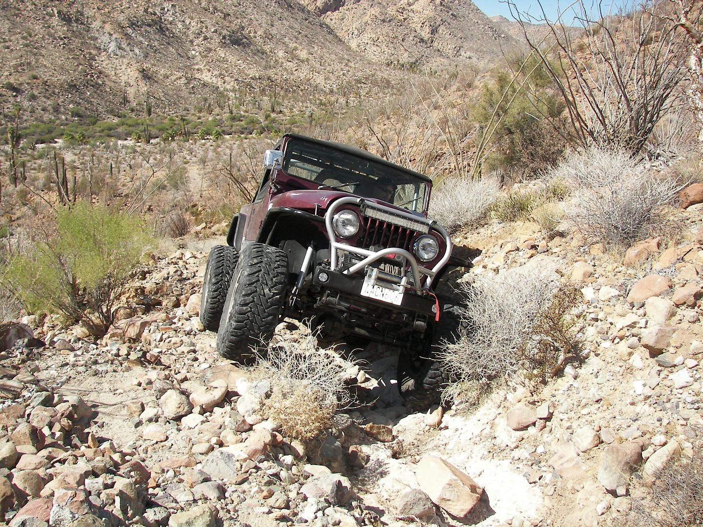
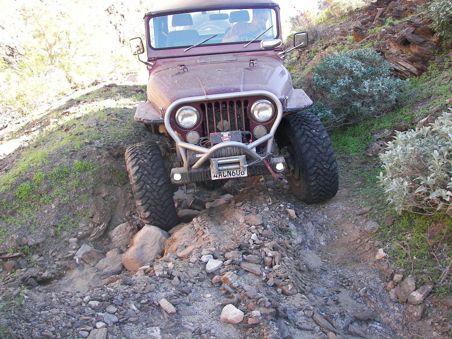
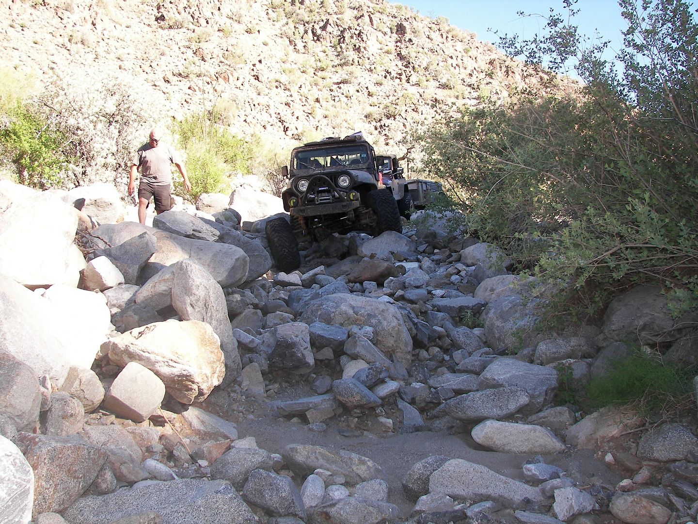
On the old mine road between Molino de Lacy and Coco's Corner:
A BIG THANK YOU TO RICH T. !!!  
[Edited on 4-24-2016 by David K] |


 .
I like the looks of of the bog when its dry.
.
I like the looks of of the bog when its dry.