BajaNomad

Baja.

Barry A. - 6-20-2016 at 09:08 AM

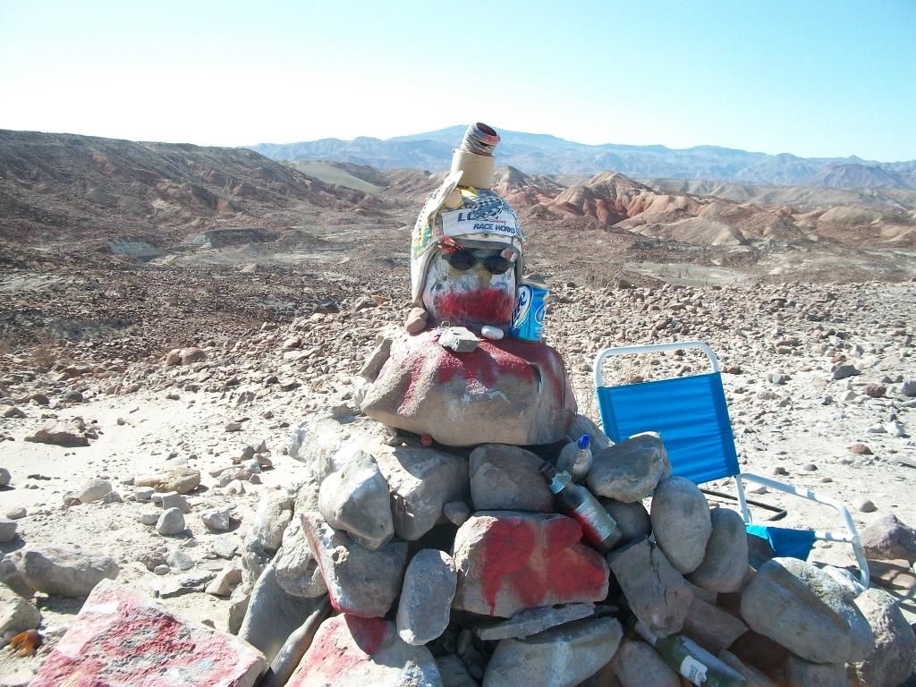
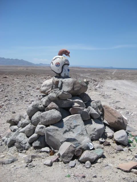
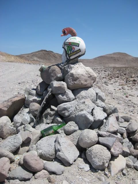
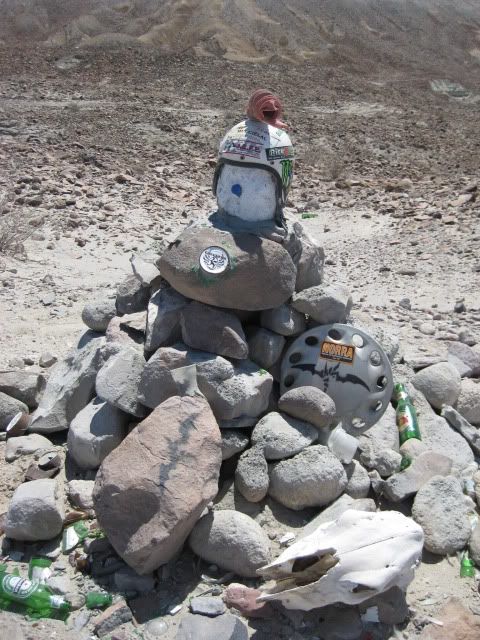
Donde es?

StuckSucks - 6-20-2016 at 09:14 AM

Looks like the road to Gonzaga before it was covered in black goo.

willardguy - 6-20-2016 at 10:13 AM

remember Ray Grove?

vandy - 6-20-2016 at 11:38 AM

Agua Verde?

AKgringo - 6-20-2016 at 11:49 AM

David K was the first person to reply to this post, and name a location and land mark (no map or photo). The post disappeared just about as fast as it showed up. I think he nailed it, but to keep the mystery alive, I won't repeat it here.

mtgoat666 - 6-20-2016 at 11:51 AM


Given the post-apocalypse-zero-vegetation appearance, it must be east side of north baja,...
Must be >120 F today!

bajabuddha - 6-20-2016 at 11:54 AM

Quote: Originally posted by StuckSucks  
Looks like the road to Gonzaga before it was covered in black goo.


Ditto. The last OMGR north of Gonzaga.

[Edited on 6-21-2016 by bajabuddha]

TMW - 6-20-2016 at 12:32 PM

South of Puertecitos on the old graded road before it dropped down near the first island.

dizzyspots - 6-21-2016 at 11:21 AM

Old Mex 5...near the now forgotten/ lost monument

BeemerDan - 6-21-2016 at 12:04 PM

Quote: Originally posted by dizzyspots  
Old Mex 5...near the now forgotten/ lost monument


[Edited on 6-22-2016 by BajaNomad]

BajaBlanca - 6-21-2016 at 12:52 PM

We haven't played this game in a while! I have absolutely no clue as to where it might be.

StuckSucks - 6-21-2016 at 01:10 PM

Quote: Originally posted by BeemerDan  
Quote: Originally posted by dizzyspots  
Old Mex 5...near the now forgotten/ lost monument


You beat me to it - I was looking for a photo of this monument in my library.

[Edited on 6-22-2016 by BajaNomad]

David K - 6-21-2016 at 05:47 PM

JULY of 2010:


This was actually located between the turnoffs to Punta Bufeo and Papa Fernandez' Resort.


rts551 - 6-21-2016 at 06:04 PM

Quote: Originally posted by David K  
Quote: Originally posted by AKgringo  
David K was the first person to reply to this post, and name a location and land mark (no map or photo). The post disappeared just about as fast as it showed up. I think he nailed it, but to keep the mystery alive, I won't repeat it here.


Yes, exactly... but I figured it was another trap for attacking me (on some obscure political or other point) that I knew it was the 1986 graded road a few miles north of El Huerfanito... You can easily see the island in the background, above the road, in Ralph's photo.


Paranoia? And please do not bring politics into my post.


[Edited on 6-22-2016 by rts551]

basautter - 6-21-2016 at 06:20 PM

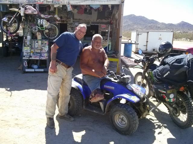
Is that Coco??:?:

willardguy - 6-21-2016 at 06:26 PM

the story was it was a memorial to a fallen rider, no idea who?

David K - 6-21-2016 at 09:06 PM

Cool!

BeemerDan - 6-21-2016 at 09:14 PM

Quote: Originally posted by MMc  
DK have you ever helped the folks of Baja? Have you put in time building houses for those in need. Stopped but the Grandpa's house with food and goods?
Sorry for the full Hi Jack. Back to the regular programing.
I didn't know the photo as most of my time is spent on the other coast. thanks for the share.


I'm gonna guess no. but if he could I'm sure he would, then again David has to work for a living, but gives us maps and history of the peninsula most people couldn't/don't

Most of you whiney little trolls, and you know who you are! Are just out to belittle David and his efforts to bring history to the forfront. I do wish David hadn't said anything political.

Then again it wouldn't of mattered, Would it?

David K - 6-21-2016 at 09:26 PM

Quote: Originally posted by MMc  
Nice delete dude. The questions still stand, how do you help the people of Baja, David K?

I am deleting to keep with Ralph's wishes to not trash his thread. Of course he has never done so fo me in all the threads of mine he has responded on with negative stuff.

As for how I help the people of Baja, well you must be a newbie to not know all the promoting I have done for Baja people and pleasures of Baja travel and history. I wrote and published my first Baja travel guide when I was 17, in 1973.

As for more recent help, I created Shari's first web page and that helped all of Bahia Asuncion become better known. I also made web pages for other Baja people and places including one for Coco. My own VivaBaja web site is all about creating a desire for more to come south for some of that fun. My dozens of Baja travel adventure articles are also to inspire Baja travel... and that helps everybody.

MMc - 6-21-2016 at 09:31 PM

rts511 thank you for the share. All others have a nice day, you're beautiful.

bajagrouper - 6-21-2016 at 09:47 PM

I remember driving the "new highway" in the early 70's and it was 19' wide, has anything changed as far as width or added shoulders?

[Edited on 6-22-2016 by bajagrouper]

David K - 6-22-2016 at 08:18 AM

Quote: Originally posted by bajagrouper  
I remember driving the "new highway" in the early 70's and it was 19' wide, has anything changed as far as width or added shoulders?

[Edited on 6-22-2016 by bajagrouper]


Yes, in sections south of San Quintin to Santa Rosalia. Generally in 10 km. sections... just north and south of El Rosario, between Nuevo Rosarito and Villa Jesus Maria, and the Infierno grade just north of Santa Rosalia are 4 places where the 1972-73 19 ft. wide highway has been widened.