David K - 8-3-2016 at 08:35 AM
Drove up there one day in my Jeep with my girlfriend and my mom while my dad was out fishing from our camp at Puerto Escondido. Asked to go up there
in 2009, but was told no. Comparing the photos would have been cool.
We were there in 1973, as well... the main street was still dirt.
TMW - 8-3-2016 at 08:50 AM
They probably would not let you up there because of so many people there. In 1976 very few but 2009 lots and many of them would want up there too. I
was first there in 1989 and the lady that was taking care of the place let me and my friend up there. But again there was only a couple of locals out
and about.
David K - 8-3-2016 at 09:20 AM
Right, with the coming of the paved highway (it was halfway paved in 2009), some of the good things end...
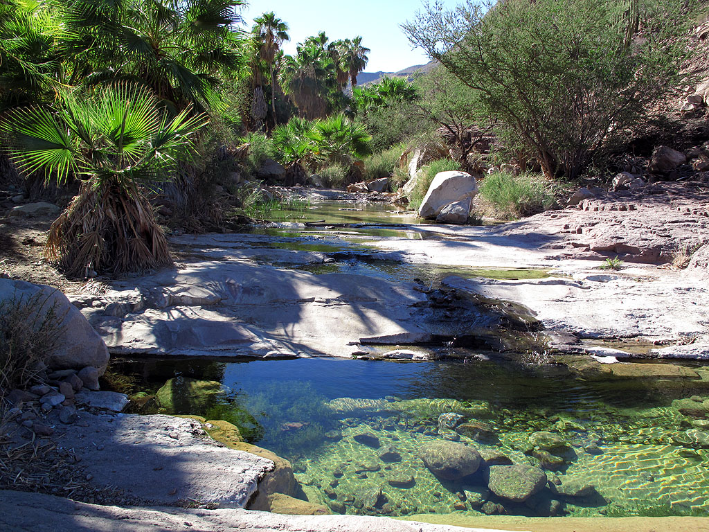
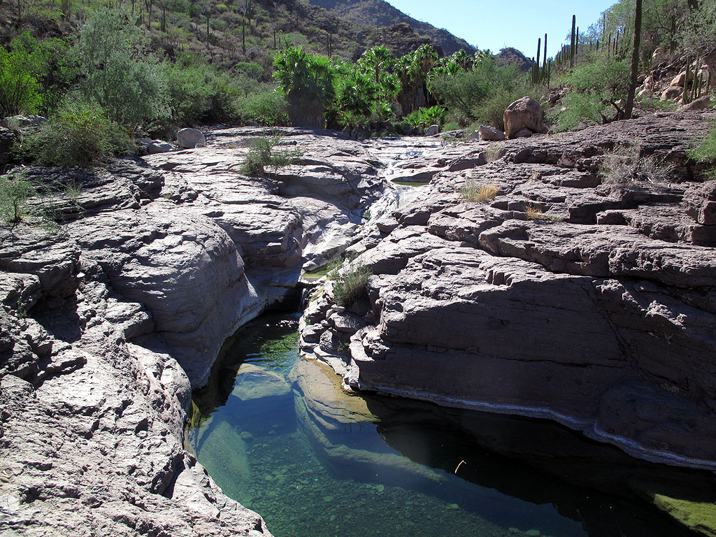
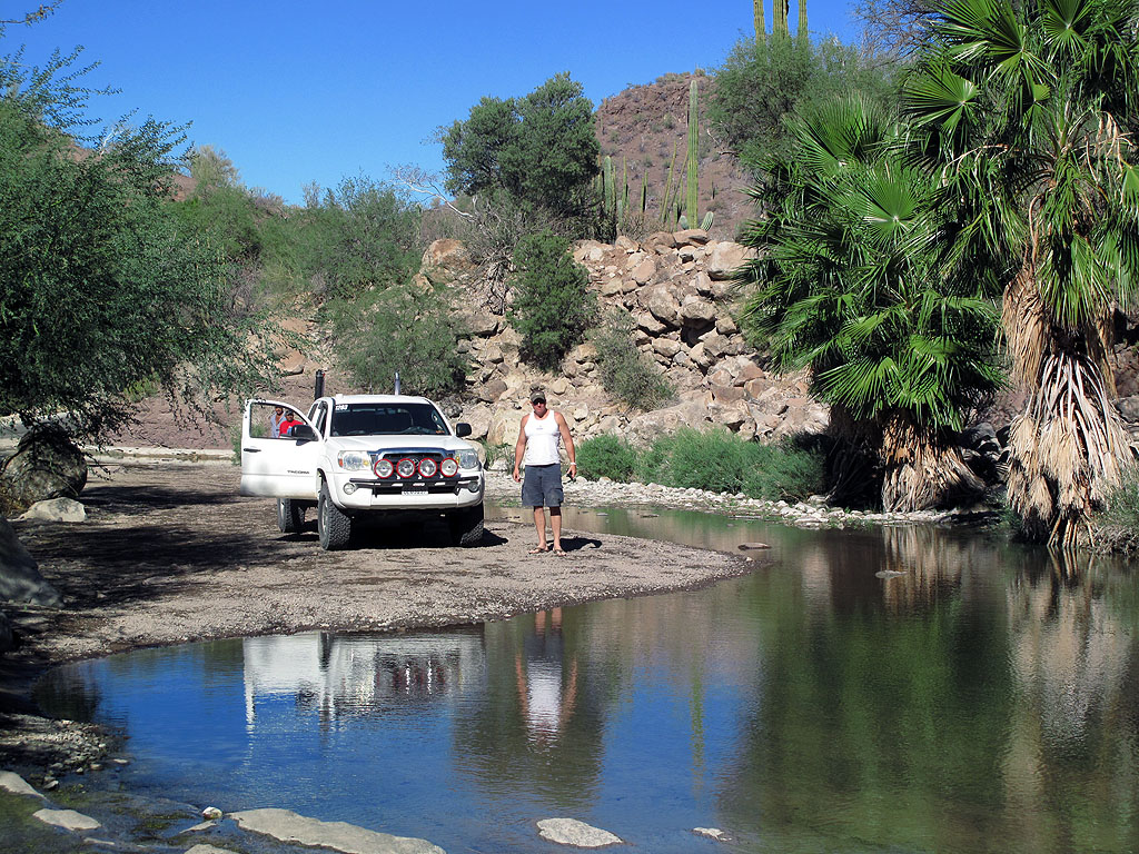
From July 2009:
0.0 San Javier road at Hwy. 1, exactly one mile south of the signed Loreto entrance road.
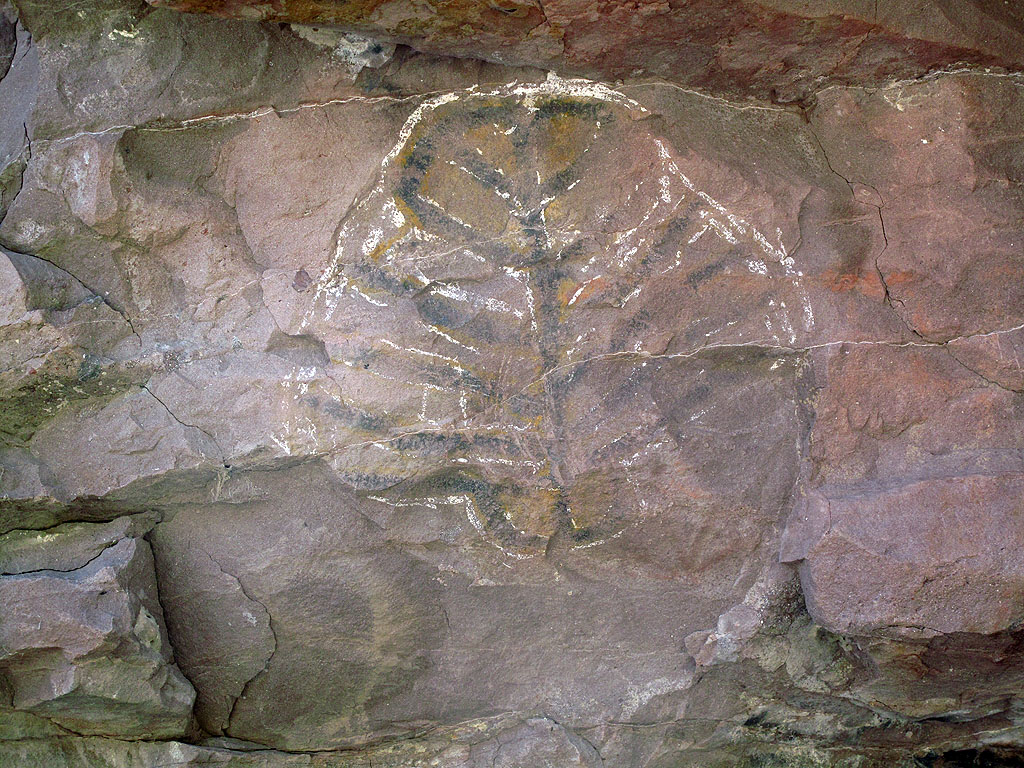
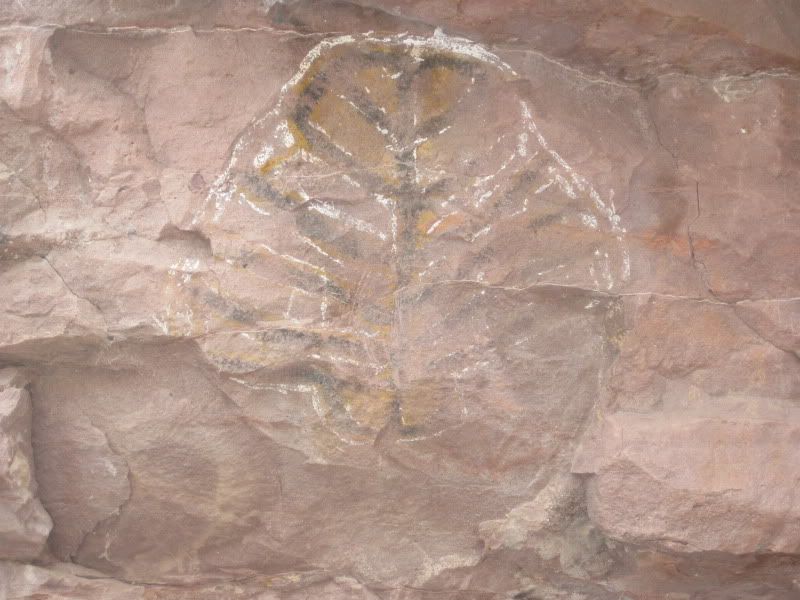
8.2 Rock art parking on left, at arroyo crossing
short walk to site.
9.8 End of pavement, good graded road continues up.
11.4 Rancho Las Parras and chapel.
16.1 Rancho Viejo, the original location of Mision San Javier (1699-1710).
17.3 Road to San Jose Comondu junction.
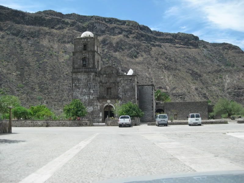
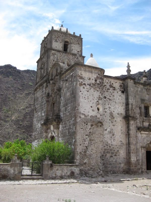
21.7 San Francisco Javier de Biaundo 1699-1817 The second California mission was originally founded 5 miles north, but moved here in 1710. The church
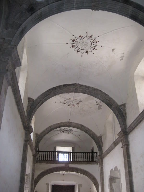
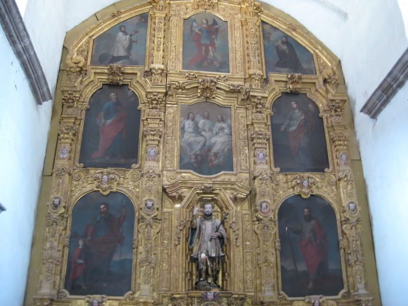
was built from 1744 to 1758, and remains as the finest preserved stone mission in Baja California. GPS: 25°51'36.9" 111°32'37.0"
BigBearRider - 8-3-2016 at 09:34 AM
I was there a couple of months ago. The road is paved the entire way from Loreto, with a couple of shorter areas of road construction. A couple of
miles from Del Borrachos, they were putting down new smooth blacktop towards San Javier.
David K - 8-3-2016 at 09:51 AM
What is Del Borrachos, a bar?
TMW - 8-3-2016 at 09:52 AM
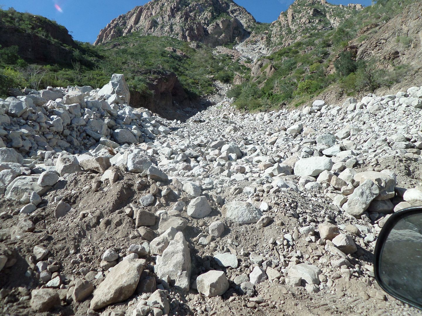
In November of 2013 there was a major rain storm I think from a hurricane. The heavy water brought rocks down completely blocking the highway to the
mission. A path was made to get thru within 24 hours or so. I was thru there sometime later.
The rocks had covered the hwy.
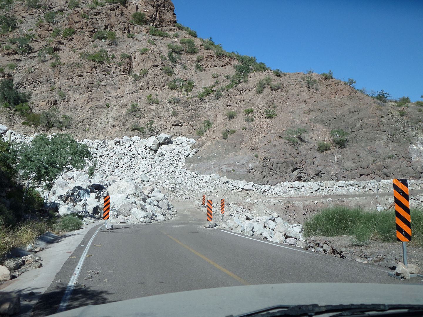
The rocks came tumbling down from up there.
BigBearRider - 8-3-2016 at 10:02 AM
Del Borrachos is a gringo-style restaurant on the road to San Javier, about a quarter mile from Mex 1. It looks a little like a mini-Texas Roadhouse,
if you are familiar with that chain. I have not eaten there, but it is conveniently close to the airport if you have a flight out and some time to
kill.
[Edited on 8-3-2016 by BigBearRider]
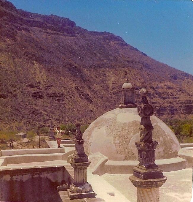
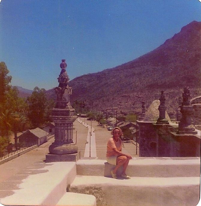
BajaBlanca - 8-3-2016 at 10:04 AM
Those are wonderful photos from the roof - I never thought to ask to go up!
del boracho is a restaurant, you can see a huge sign indicating a right turnoff once you pass the main part of Loreto, headed south.
David K - 8-3-2016 at 10:05 AM
Yep, and the rock art site got covered in mud from the flash flood...
Here are some photos of the location, in 2009:
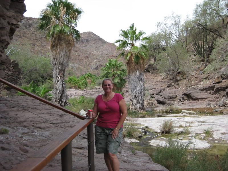
(hand rail protects rock art)
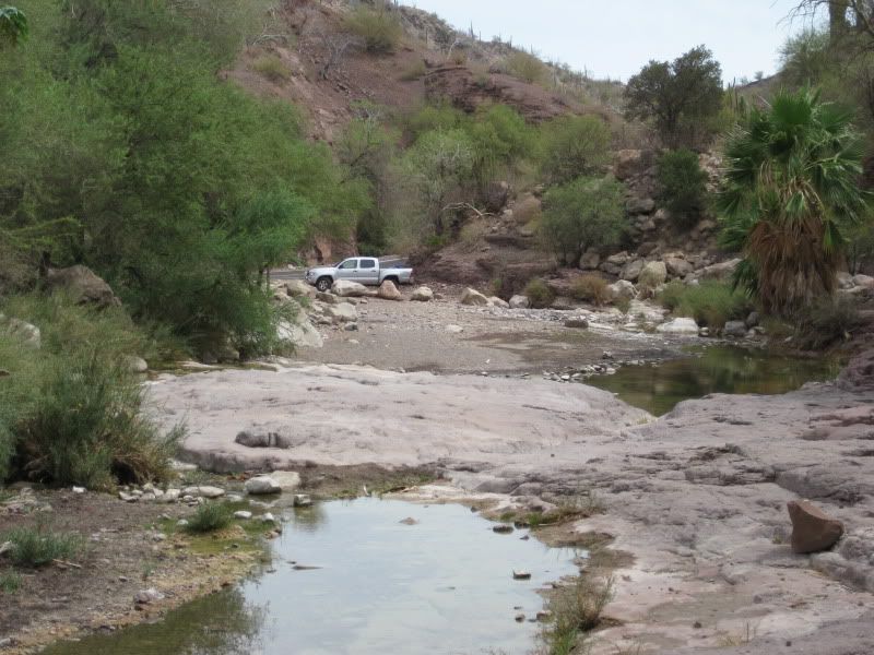
(truck from rock art site)
BajaBlanca - 8-3-2016 at 10:11 AM
I have done a private litter cleanup right there at the cave paintings!
StuckSucks - 8-3-2016 at 11:10 AM
No mas. November 2010: