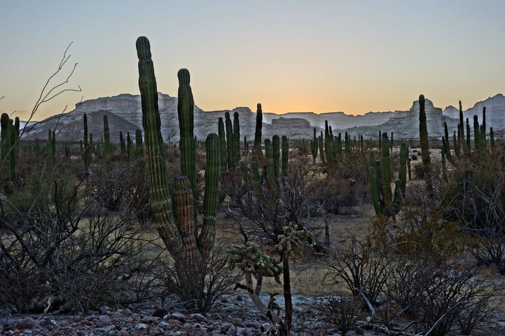
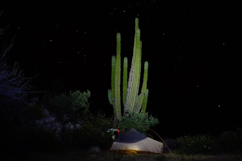
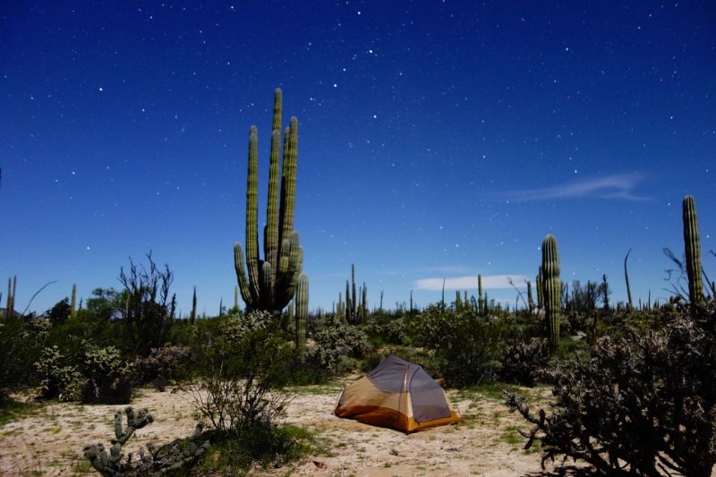
https://bajadivide.com/
Some clever cyclists came up with a dirt road bicycle route. The girl, who helped map the route, won a race across the Usa, from Astoria Oregon too
Yorktown Virgina. Yes she beat the men, even the ones from Europe. She averaged 235 miles per day.
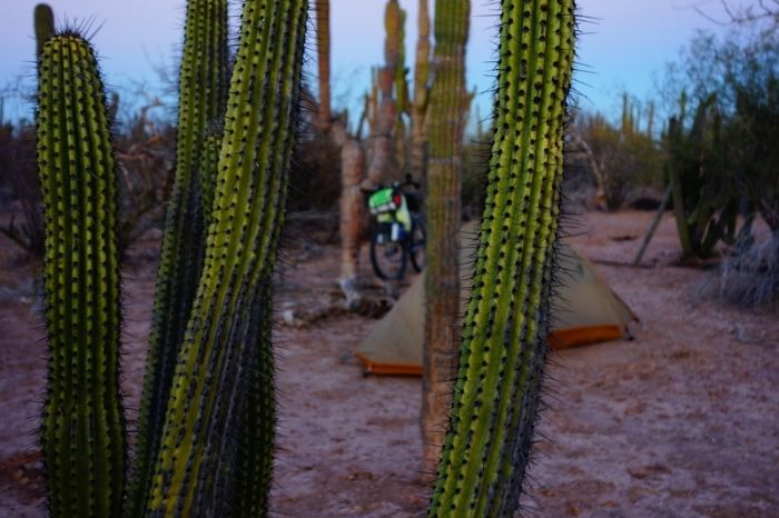
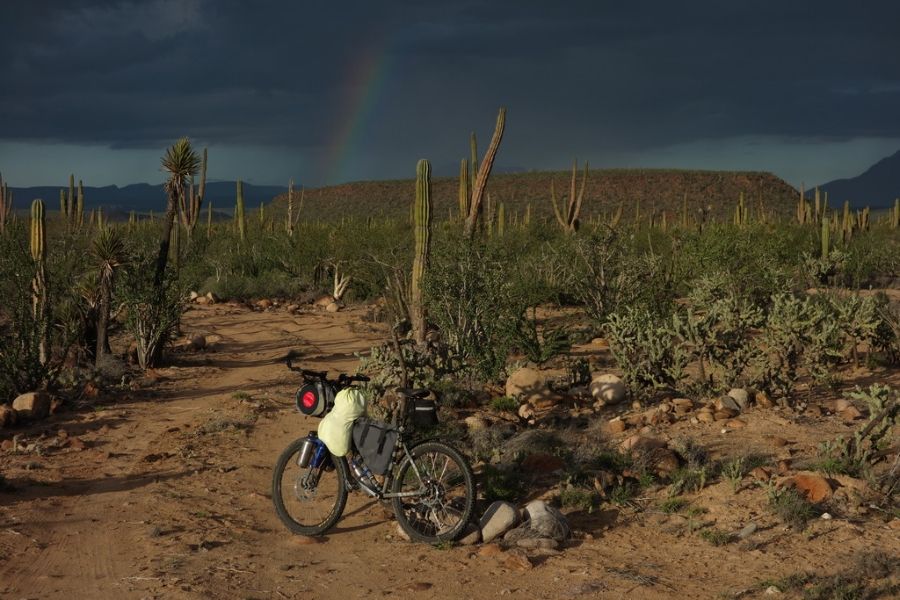
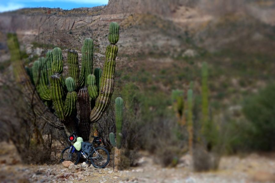
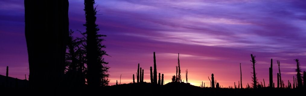
What about the rest of the slow out of shape bike pedalers like me, using their route for a guide line while they pedal down the Baja?
https://bajadivide.com/mapping/
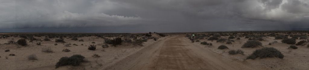
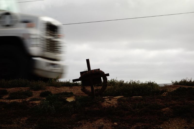
How can we get the nomads to put put a few extra 5 liter water bottles in their cars and trucks, as they drive near this route? They said the level
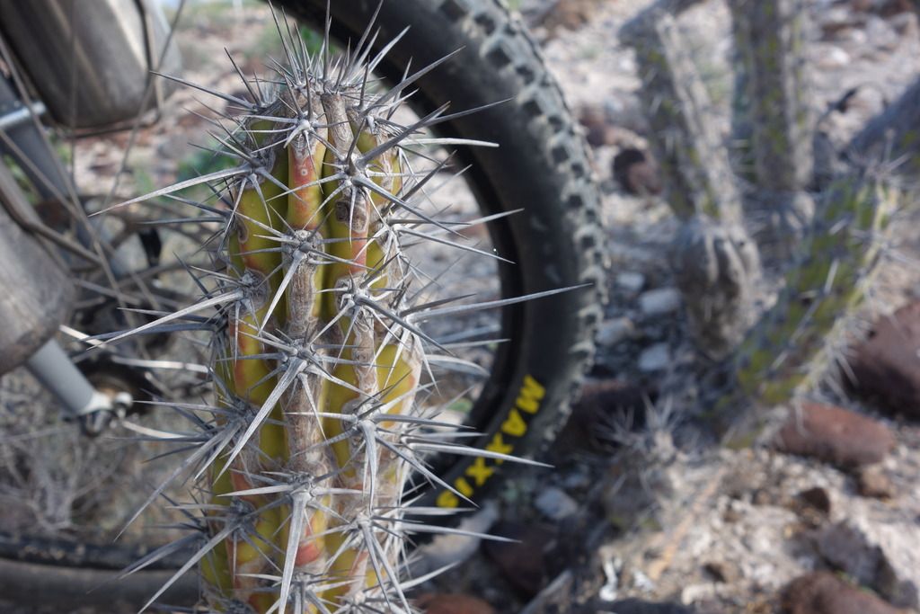
of interest in the baja divide bike route is overwelming. I would bet that most of the cyclists do not realize how difficult the route is. Be an
angel and give water to a passing cyclist. Many a cyclist could tell a bored nomad an intersting story. |