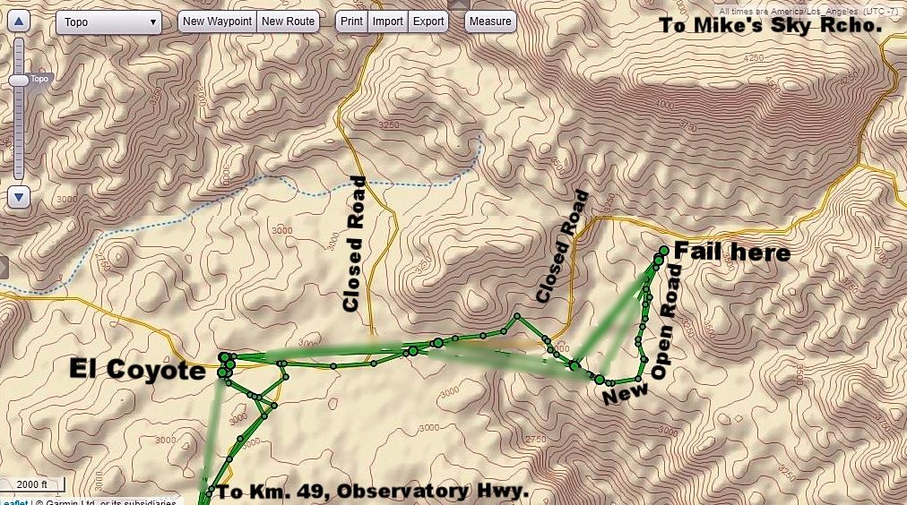
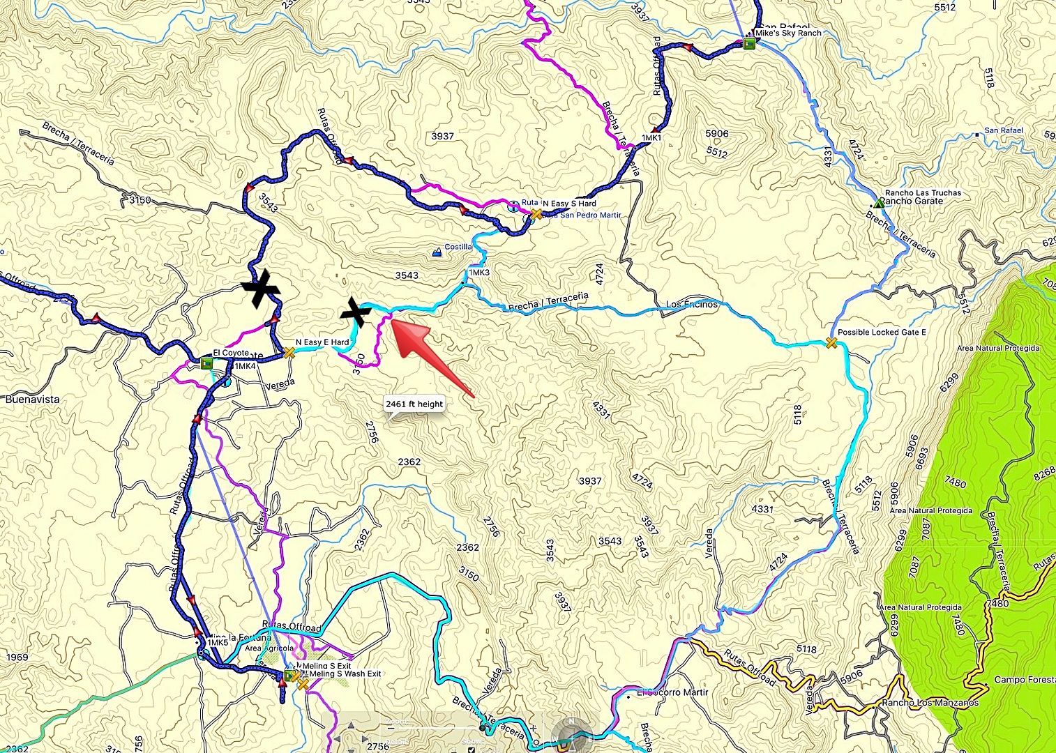
North of the observatory road, look for the dirt road to Ranch Coyote, it's just west of the Meling Ranch. About 7 miles of graded dirt road to
Coyote. At the ranch turn the road continues north a short distance to a cattle guard and two gates , enter and travel east on the road. Subject to
weather damage, you can reach Mikes in a 4x4, nothing too technical, it is well used by motorcycles, so keep your lights on and eyes up. Its about
11.2 miles from the gate to Mike's. I have a track if you need it, not sure how to post it here.
|


 On dirt bikes a blast