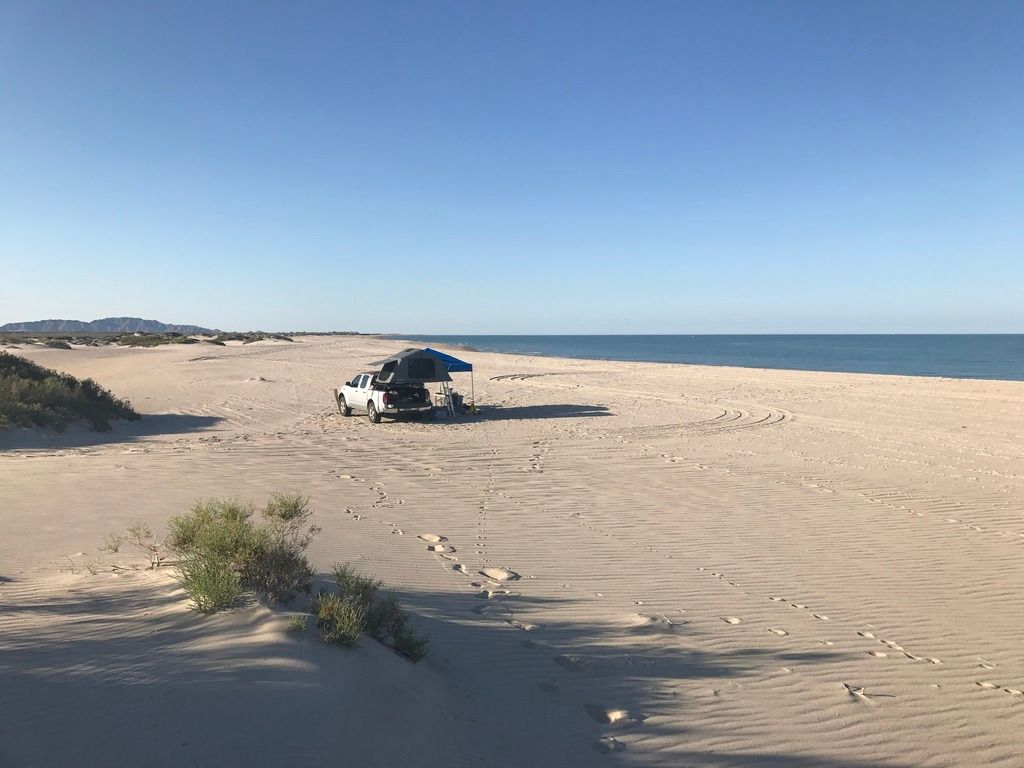
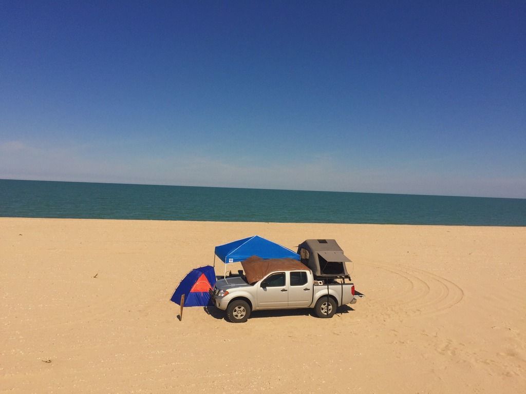
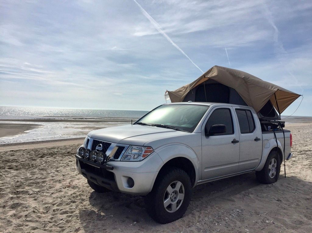
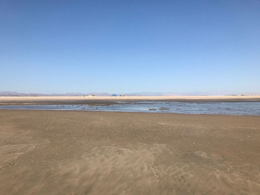
Well, if the tide is out far enough (and especially near the Quarter Moon phases), you drive right out to the beach. You will find few if any people
there, and usually never any over-night campers. Even if you do, the island is four miles long, so you have many crowd-free options. ENJOY!
[and if you are not used to sand driving, if you begin to bog down: stop instantly].
Don't spin your tires at all! Let more air out of your tires... look for them to bulge. Get a low-pressure gauge. 8-12 psi range for some truck tires
is necessary. Try 15-20 first, 4WD-HIGH, as low range may just want to spin you down... too much power. It's about floatation, not power. If you have
traction control options, I use mine and the limited slip really improves the drivability.
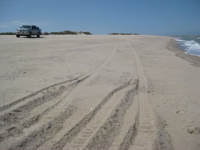
I made a test to show how just lowering the pressure was like night and day...
Left the tires at street pressure (32 psi then, 2010 stock tires, new truck):
2010 Post:
We returned to our favorite beach in Baja last Saturday (July 17, 2010) with a heavy load of camping gear including two full ice chests and 6-gallon
tank of water.
Two weeks earlier we discovered with the heat and heavy load, the Traction Control in H4 alone couldn't keep us moving (as it had last winter with a
light load).
Again, we did cross the expanse of sand to the water's edge, but the truck struggled in the sand. I also tried A-TRAC in L4, but it still wanted to
dig in. Once the air pressure was dropped to 15 PSI, I moved on with ease (in H4).
I took photos where I deflated the tires and seeing the two sides is pretty dramatic.
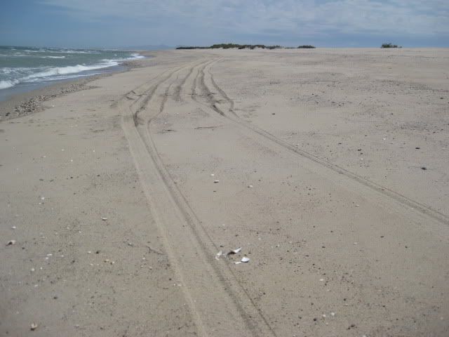
32 PSI the truck was digging in and moving slightly sideways on the steep beach. Once deflated to 15 PSI, the truck 'floated' on the sand and drove
straight. I circled back to take these photos.
|