
PaulW - 3-10-2017 at 08:43 AM
Found a new weather disaster. The road below the summit and after the summit was the equal of Motomi's worst place and it lasted for several miles.
Before the summit the rocky hill was passable but much worse than any time in the past. Several of the options after the summit were not derivable in
my Jeep. The main path after the summit is still drive-able with no issues if one knows which option to choose. I tried to drive them all.
David K - 3-10-2017 at 09:04 AM
The weather this winter has really done a number on Baja's dirt roads!
Baja Animals - Mexicali
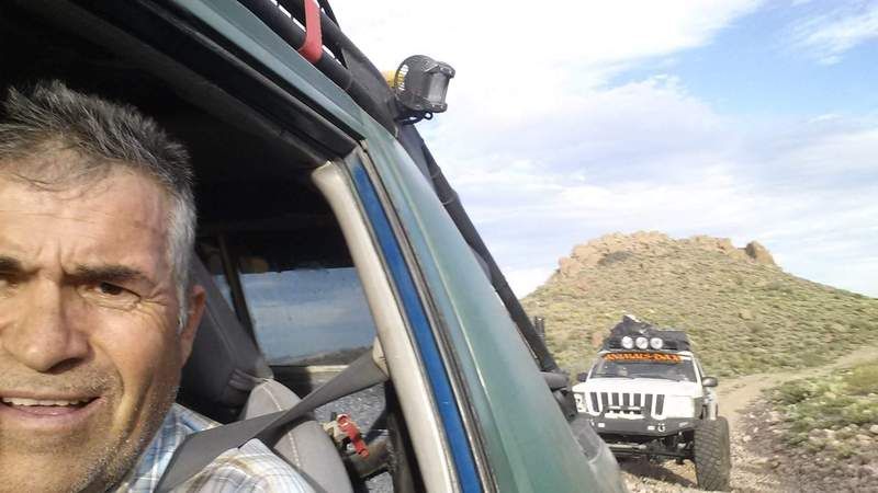
Ken Cooke - 3-10-2017 at 07:29 PM
These guys made the drive up last Sunday. We need to ask them the best way up??
PaulW - 3-11-2017 at 08:15 AM
If you mean the race summit - these guys will not have any problem. I assume the will do the hardest options. Later today I will show my tracks with
comments.
PaulW - 3-13-2017 at 03:15 PM
Race Summit Status 3/9/2017
From the key in the pic below
A) A short go around from C. This is the original race track and has not been used for years. It is rough and there is little reason to use it
B) Another track that was used in the old days it has washouts to delay progress.
C) This is the preferred track no significant problems to report. This track has been used for many years by SCORE to avoid the difficult direct track
D. Easy drive.
D) This is the traditional SCORE shortcut to save time vs C. It is in pretty bad shape near the top end. Not a recommended way to go unless one has
unlimited suspension and going downhill. Going uphill it will be hard to get to the top.
E) This is the option over the hill to avoid the slow track along the ledges of track F. On the east side it is destroyed by weather. I found 3-4’
steps and lots of large 3’ boulders. Reconstruction would be impossible. My capable Jeep could not get up the thing.
F) This is the ledges track and the preferred track going up or down. The weather has done little damage. I found a couple of 1-1.5’ steps.
G) This is the new road and I did not drive it this time. It follows high ground so predicted weather damage would be minimal?
H) This is the old abandoned track up/down the summit. It is fenced off top and bottom. And can be driven if the south track is used when going
up/down. The north track is nothing more than a deep ditch. No real reason to use either of these tracks anymore.
I) Is the track up Siaz wash. It is now closed with a substantial cable fence.
J ) Is the old Pole Line road and now has a substantial locked gate. Pole Line road is no longer accessible from this direction.
K) Is the pole Line road.
L) Is Siaz wash that is the traditional race track to from the summit?
Notes:
When going uphill one will be faced with two Ys to choose track B, C or D. Pay close attention and choose the correct one to avoid slow rock crawling
when going uphill. The second Y when going uphill is the correct way to go.
When going uphill from Siaz wash toward the summit. Do not go thru the fence gate that leads to L. Go right before the fence gate to find G
The approach to the summit from Nuevo Junction is very good for the first few miles. When the grade gets steep it deteriorates to bowling ball rocks
and many 1-2” steps. It is really slow when going up or down. After saying that - sure it is passable. The bypass up the valley is now fenced and
gated. Sometimes the gates are not padlocked. That route is marked no trespassing.

David K - 3-13-2017 at 03:20 PM
Nice map work Paul.
[Edited on 3-13-2017 by David K]
