Quote: Originally posted by kevin_in_idaho  | Punta Eugenia looks like a great place; the kind of place we like to go to but not sure what all there is do there, if there's any services,
restaurants, etc. Too bad the camping palapas are in ruins.
Mallarrimo Beach sounds good too and will await some future trip report.
Impossible to answer (I know) but do you have a top-10 places in Baja you like?
|
Baja has so many different places for different purposes. Here are 10 places I could easily go back to multiple times, and have:
*As you may know, for all out relaxing on the beach and doing nothing, without any need for any services or facilities, and within an easy day drive
from home, it is Shell Island for us.
*For its tropical appeal, Mulegé, and Bahía Concepción.
*Loreto and
*La Paz, for nice tropical cities.
*For a nice Pacific side retreat and nice people, it's Juan & Shari at Bahía Asunción.
*For a beautiful location on the sea with history all around, it's Bahía de los Angeles.
*A very special place for me, beautiful beach and interesting desert around, it is Gonzaga Bay.
*A town most people blow through but has interesting sites all around and a great friend who owns the Pemex and Baja Cactus Motel is El Rosario.
*Exotic and very hard to get to, Mission Santa María de los Angeles.
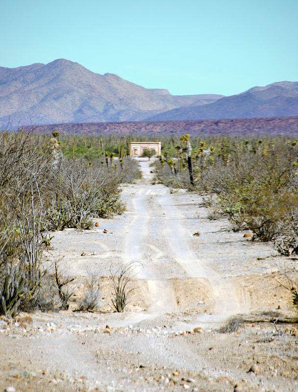
*Fascinating, great people (José), and easy to get to Mission San Borja.
|