Quote: Originally posted by Alan  | | Quote: Originally posted by David K | | There was no sign at the junction but it was a major fork. Located inland, out of sight, from the coast, and just 1.6 miles south of the beach fishing
village. |
Well I'm headed back down in a week. If the fishing and the weather cools I'll give it another
shot. |
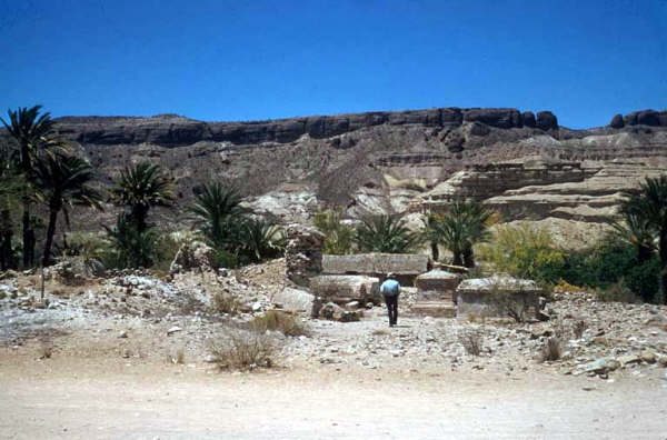
It is a very rough drive and while attractive views and oasis canyon palms are beautiful... it still is a slow drive. That you are in intense mission
country may be of interest.. the 1720s -1768.
Use Google Earth to see the roads and that junction before you drive, maybe?
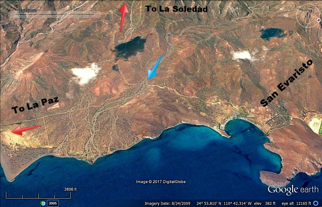
View looking west, the road up the mountain is 1.6 miles from the fishing village and junctions on a curve, where the blue arrow is pointing.
|