BajaNomad

Baja mines

Sr.vienes - 10-27-2017 at 06:46 AM

Most counties in Arizona have a list of mines and their locations by lat and Lon that go back to the 1800’s. A lot of mine roads where of a very temporary construction and may have disappeared years ago but can be seen on Google Earth.
I have been using this method to find new places to off-road to here in Mohave County and have had some pretty cool adventures.
Does anyone know if such a mine register exists in Baja?

TMW - 10-27-2017 at 07:16 AM

I came across a list of Baja mines some time back with the coordinates. I'll do some digging to find it again. I'm in Baja now so it may have to wait till I get home. I did notice that the coordinates were not very accuate at least on the mines I was interested in. Close but not spot on.

David K - 10-27-2017 at 08:49 AM

Books that tell about many mines in Baja include:

the Lower California Guidebook by Gerhard & Gulick (1956-1970 editions & printings) or its replacement the Baja California Guidebook by Wheelock & Gulick (1975, 1980 editions).

The Baja Adventure Book by Walt Peterson (1987-1998 editions).

and this gem from the Dawson Book Shop...


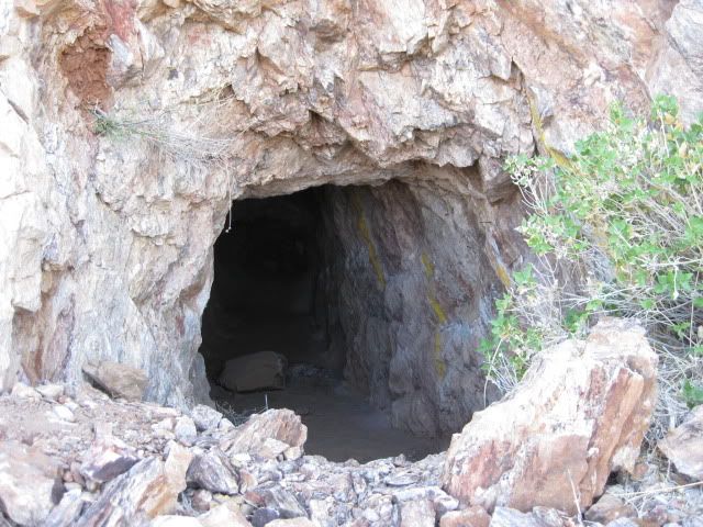
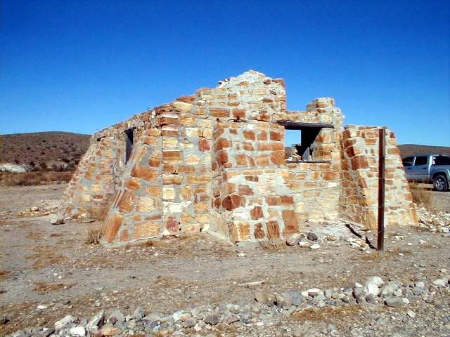
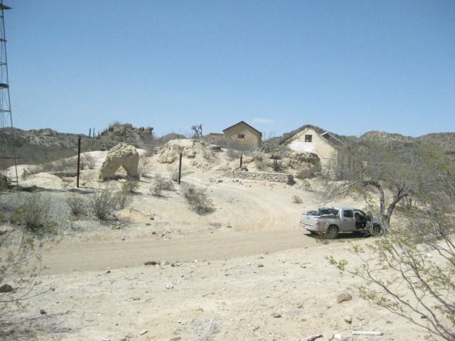
A few mines photographed...

David K - 10-27-2017 at 09:44 AM

North to south...

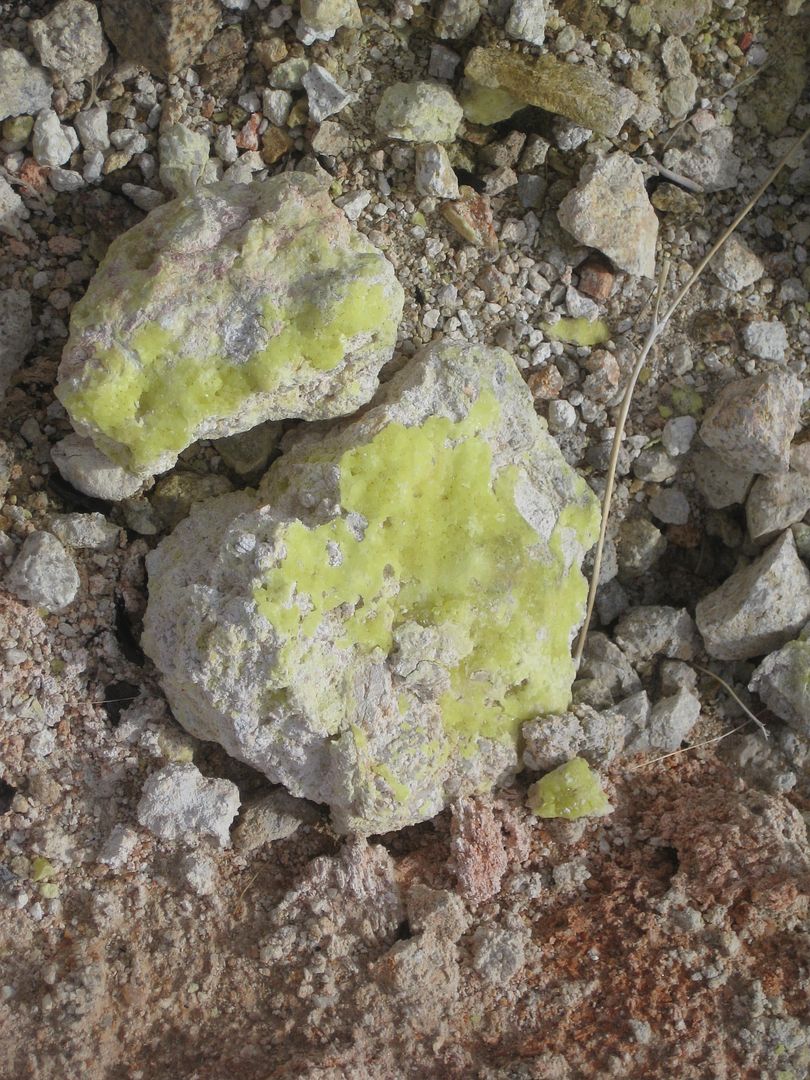
El Promontorio (Sulfur), south of Mexicali:


San Antonio del Mar (Titanium), north of San Quintin:


El Apache (Sulfur), south of San Felipe:


San Fernando (Copper), southeast of El Rosario:


La Olividada (Barite), east of El Mármol:


El Mármol (Onyx), east of El Rosario:


La Turquesa Canyon (Turquoise), south of Gonzaga Bay:


El Toro (Copper), near L.A. Bay:


Pozo Aleman (Gold), near El Arco:


Santa Rosalia (Copper, Manganese)


El Triunfo (Silver), south of La Paz:


There are also related mining locations, where ore was processed some distance from the mine, such as Las Flores, Las Arrastras, and Molino de Lacy.


gueribo - 10-27-2017 at 10:27 AM

Great question. I'm also interested.

Sr.vienes - 10-27-2017 at 11:16 AM

Thanks DK for the posting the pictures. I have been to a few of them and always like to explore the areas around mines. It is astounding to me how they transported the machinery they had to some of the places they mined, tough determined old fellers!!!!

bajaric - 10-27-2017 at 11:35 AM

I am interested in exploring some (more) of the old mining areas too. I have done some fairly extensive research on the subject. I'm sure Mexico has a registry of surveyed mining claims in some government office but of course, it would all be in Spanish. However I don't know of any publication in English that lists mine locations with coordinates. In that vein (pun intended) TMW if you can find that list I would also be mucho interested in having a look and sharing information. Maybe some nomads would like to get together and search out some of the old mines?

mtgoat666 - 10-27-2017 at 11:50 AM

Quote: Originally posted by bajaric  
I am interested in exploring some (more) of the old mining areas too. I have done some fairly extensive research on the subject. I'm sure Mexico has a registry of surveyed mining claims in some government office but of course, it would all be in Spanish. However I don't know of any publication in English that lists mine locations with coordinates. In that vein (pun intended) TMW if you can find that list I would also be mucho interested in having a look and sharing information. Maybe some nomads would like to get together and search out some of the old mines?


If your interest is traveling in mexico, and your trip-research material is written in spanish, then perhaps you should try learning spanish, eh?

anyhow, if you want to find old mines and prospects, go to INEGI and other mex govt websites and peruse the online mineralogy and geologic maps -- many govt geo maps are available online. many prospects/mines are mapped.
sorry, you'll have to do the work of reading spanish, and consulting a dictionary or online translator :light:


gueribo - 10-27-2017 at 11:51 AM

I'll add some photos of Pozo Aleman. Very cool place.

pozo aleman2.JPG - 225kB

gueribo - 10-27-2017 at 11:56 AM

.

DSC01171_2.JPG - 244kB

gueribo - 10-27-2017 at 12:17 PM

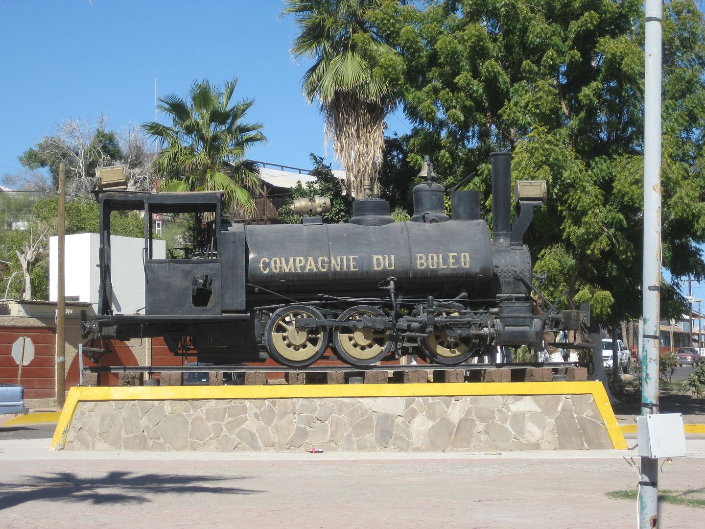
El Boleo, c. 1911

El Boleo c 1911.JPG - 179kB

chuckie - 10-27-2017 at 12:49 PM

Years ago,when things were less formal, I was allowed to browse through ledgers and journals at the museum at the Boleo mine. Then it had some "stuff" in an office on the mesa. Not very organized but friendly.There were several formatted journals with what were clearly mine and prospective mine locations in Baja both North and South. Notations were in French, Spanish and a few in English. Where they are now is anyones guess....

gueribo - 10-27-2017 at 12:56 PM

Wow. What a cool opportunity.

bajaric - 10-27-2017 at 01:06 PM

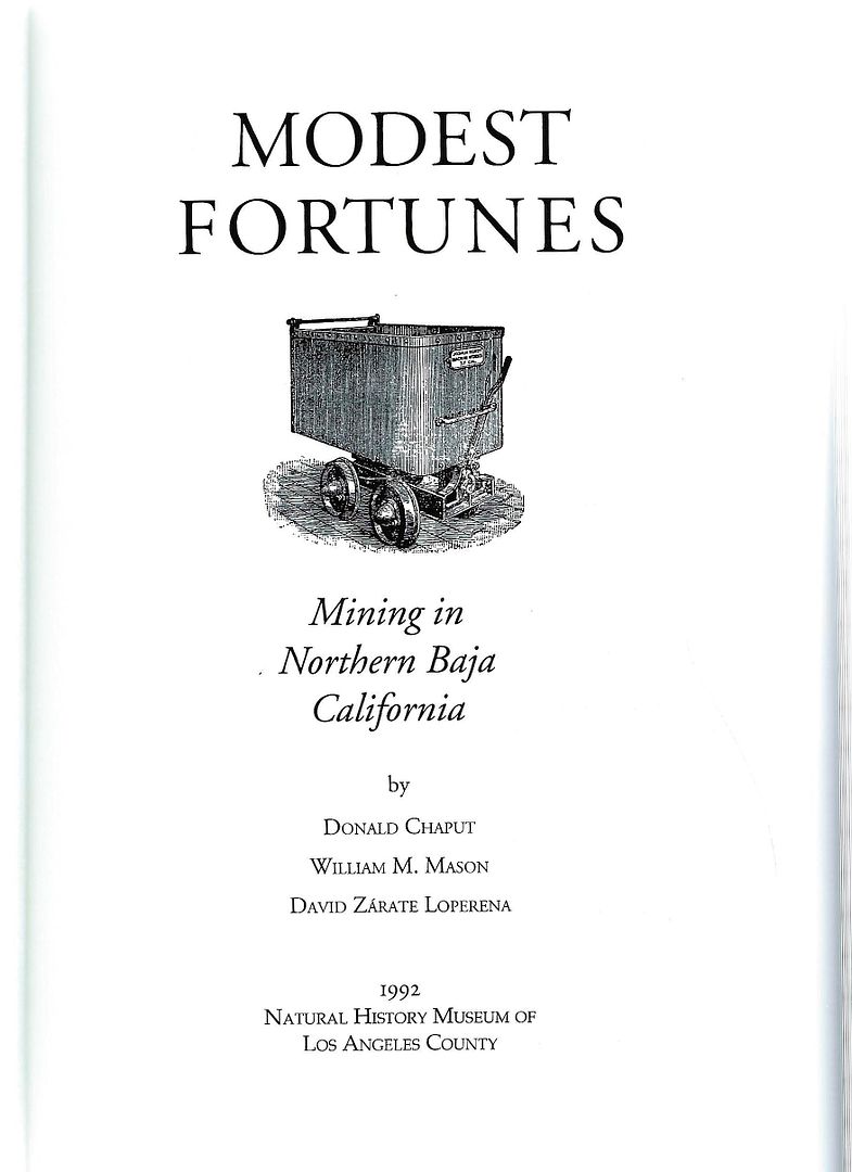
Ahh but Mr Goat, who says I don't read Spanish? I do, just not very well, trying to decipher the INEGI map system is not my idea of a good time, but I could do it and have looked at some of the web sites you referenced. Besides, a lot of source material is written in English. Most of the book "Modest Fortunes" was sourced from newspaper accounts in California as many of the miners were Americanos -- Also DK Pozo Aleman was not a "mine" it was a "mining town". The mines were located nearby. Who wants to go look for them!
signing off, beer time

Jack Swords - 10-27-2017 at 03:02 PM

https://s1.postimg.org/5dp01fkyrz/107-0741_IMG.jpg

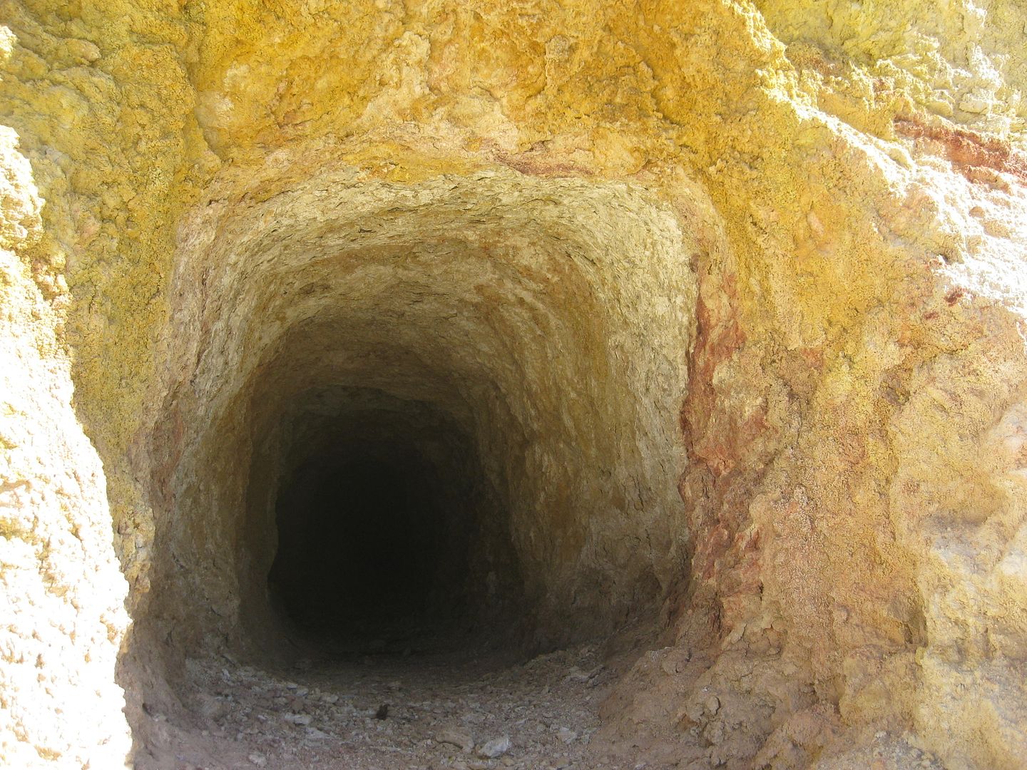
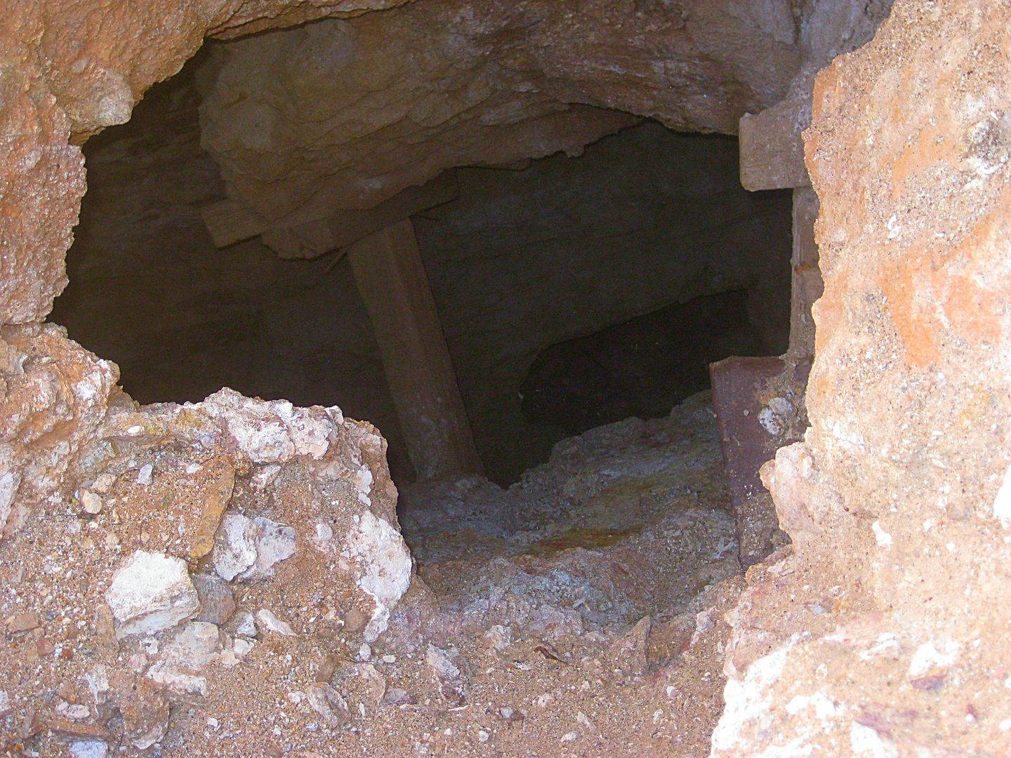
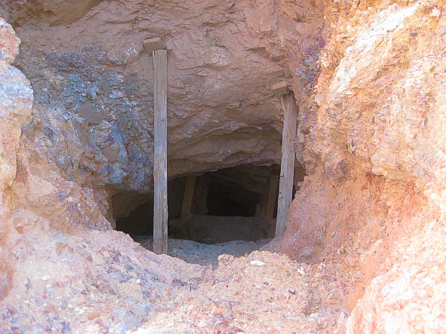
A mine near Pozo Aleman (Calmalli) from inside. Trying to post without Photobucket.

Jack Swords - 10-27-2017 at 03:04 PM

https://postimg.org/image/3g94tlclvf/

Crude sluice found near a mine...

[Edited on 27-10-2017 by Jack Swords]

Jack Swords - 10-27-2017 at 03:06 PM

https://s1.postimg.org/1lm2tba6sf/107-0706_IMG.jpg

Drywasher found near mine.

Jack Swords - 10-27-2017 at 03:17 PM

https://s1.postimg.org/756hfyxv3j/107-0717_IMG.jpg

Rocker used for mining to separate gold from overburden.

Lots of mining stuff is found in Baja Sur still, in old mines and machinery is on the surface. I have found most landowners to be agreeable, but a couple of areas under active mining were guarded and would not allow us to look or take photos. Also some of the very old Spanish silver operations are still accessible, but require some hiking. Mines, hornos, settling ponds and other debris are out there.

Jack Swords - 10-27-2017 at 03:21 PM

https://s1.postimg.org/9nlsrkohe7/107-0742_IMG.jpg

A deeper mine in Baja Sur. Have encountered some poisonous gas in some of the deeper mines in Baja, not this one.

Sr.vienes - 10-27-2017 at 03:40 PM

Was in a very rich silver mine in White Hills Arizona where you could still see black spots where the miners would hold the flame from their carbide headlamp to the rock walls to see if the silver would melt out. If no silver ran out they didn’t dig there, pretty good mines till they played out.

gueribo - 10-27-2017 at 04:34 PM

Near Santa Rosalia.

Sta Rosalia.JPG - 221kB

David K - 10-27-2017 at 04:54 PM

Quote: Originally posted by Jack Swords  
https://s1.postimg.org/1lm2tba6sf/107-0706_IMG.jpg

Drywasher found near mine.


Jack, you want to pick the link called "Hotlink for forums" of the list of links for each of your photos. The links you are using are surrounded by ads for Asian women and other things! :O


Also, many of your mine photos are hosted on my site, here: http://www.vivabaja.com/swords/

You can hotlink to any of them, as you wish. Just use IMG tags or click on the button here that looks like a landscape scene.

Here is one of your mine photos at Sauzalito:


[Edited on 10-28-2017 by David K]

David K - 10-27-2017 at 04:57 PM

Quote: Originally posted by bajaric  
Ahh but Mr Goat, who says I don't read Spanish? I do, just not very well, trying to decipher the INEGI map system is not my idea of a good time, but I could do it and have looked at some of the web sites you referenced. Besides, a lot of source material is written in English. Most of the book "Modest Fortunes" was sourced from newspaper accounts in California as many of the miners were Americanos -- Also DK Pozo Aleman was not a "mine" it was a "mining town". The mines were located nearby. Who wants to go look for them!
signing off, beer time


I will have to dig that up! Thanks.
What I remember was that there were basically three gold mine areas, near each other, and mined during different periods (1880s was Calmalli, 1910s was Pozo Aleman, 1930s was El Arco).

gueribo - 10-27-2017 at 06:43 PM

Thanks for the photos, Jack. The drywashers are cool. When at Yubay, I saw some drywasher remains just like this, in a cave.

[Edited on 10-28-2017 by gueribo]

Jack Swords - 10-28-2017 at 07:06 AM

Thanks David....haven't posted photos for a while and the "demise" of photobucket had me looking for alternatives. "Asian women" huh? Try as I might I can't find those. Later, I'll post a few other photos differently.

gueribo: David might have the photo of an old arrastra I took on our hike up San Pedro Martir. I'll look for it.

David K - 10-28-2017 at 07:23 AM

I am still using Photobucket as is TW and others... Perhaps because we paid the $40 for increased storage?

The ads surrounding your photos rotate daily... Today, instead of Asian girls, it has Obama hugging the film producer guy in the news!

In any case, you can go to your PostImgage and click the Share button in the top left corner of the page... then from the list of available links, copy the 'Hotlinks for forums' link...

Here are the photos and your captions, from above:


A mine near Pozo Aleman (Calmalli) from inside.


Crude sluice found near a mine...


Drywasher found near mine.


Rocker used for mining to separate gold from overburden.

Lots of mining stuff is found in Baja Sur still, in old mines and machinery is on the surface. I have found most landowners to be agreeable, but a couple of areas under active mining were guarded and would not allow us to look or take photos. Also some of the very old Spanish silver operations are still accessible, but require some hiking. Mines, hornos, settling ponds and other debris are out there.


A deeper mine in Baja Sur. Have encountered some poisonous gas in some of the deeper mines in Baja, not this one.


Luz de Mexico (gold), off L.A. Bay highway.

David K - 10-28-2017 at 07:30 AM

I took this pictures a few months ago...


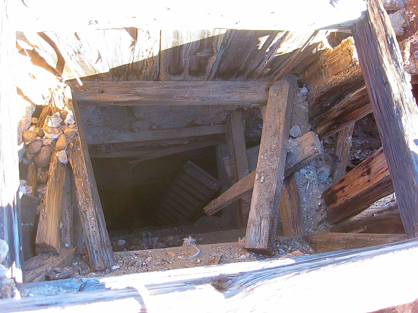
Mining is dangerous!

[Edited on 10-31-2022 by BajaNomad]

Sr.vienes - 10-28-2017 at 08:34 AM

Gennero at San Borja Mission had told me there was some old mines up the Canyon behind their house. He had offered to lead us up to them, however this was usually late afternoon causing me to choose between c-cktail hour and exploring. Alas I’m a weak man and never made the walk, anyone been there and have any pictures?

David K - 10-28-2017 at 09:07 AM

Way up are the San Juan mines... where the ore that was transported to Las Flores for processing (by 2 railroads and a cable tramline bucket system).

Here's my article: https://www.bajabound.com/bajaadventures/bajatravel/las_flor...

gueribo - 10-28-2017 at 10:41 AM

Quote: Originally posted by David K  


Mining is dangerous!


So is poking around in old mines!

[Edited on 10-31-2022 by BajaNomad]

Jack Swords - 10-28-2017 at 11:00 AM


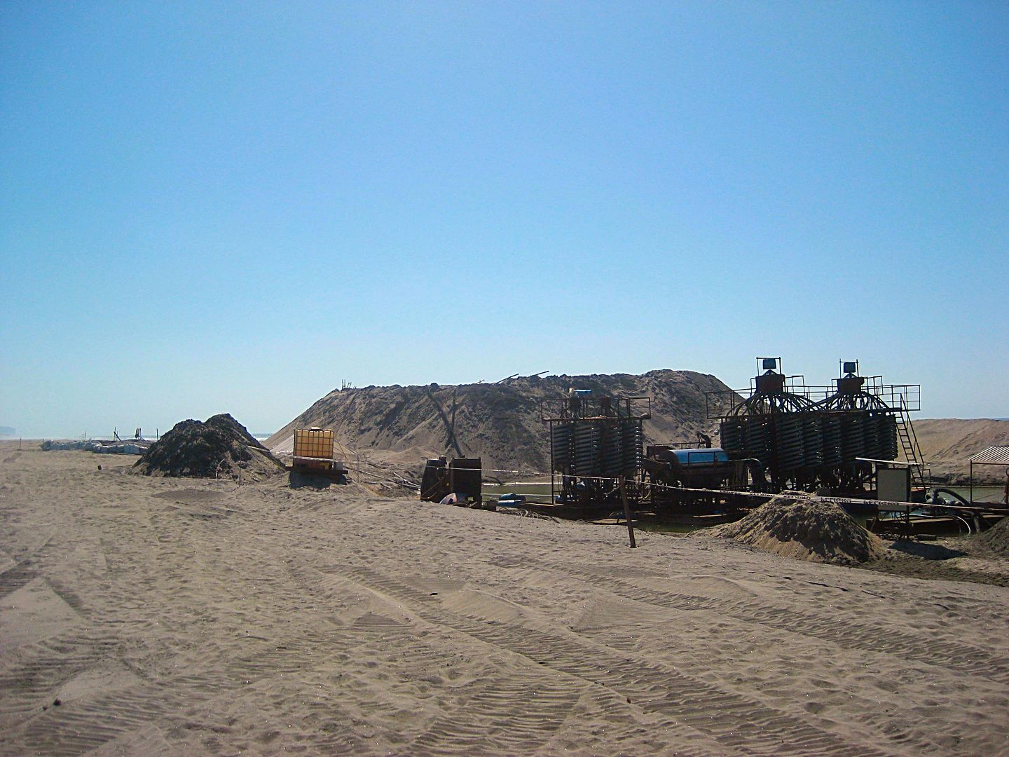
This is just some of the incredible amount of relative modern machinery laying around mining areas in Baja Sur. Mines played out, stuff abounds. Requires a bit of hiking and friendly ranchers.

This is a try following David's directions, hope no Asian women show up.

Jack Swords - 10-28-2017 at 11:09 AM


An arrastra found up near San Pedro Martir used for pulverizing and crushing ore. A mule or donkey walked around dragging a rock to pulverize ore within the circle. Pretty old technique. The drag rock with the holes is visible.

[Edited on 28-10-2017 by Jack Swords]

Sr.vienes - 10-28-2017 at 11:41 AM

I think the mine by San Borja is only a mile or so away and there is a few pieces of very old mining stuff in Jose’s yard. I looked on Google Earth and thought maybe I could see an old waste dump.
Guess next time there I will need to choose between intrepid explorer or inebriated camper, decisions decisions.


David K - 10-28-2017 at 01:39 PM

The big stuff José told me came from San Juan when a truck could get through. Neal Johns and friends began to drive up there but a flat caused them to turn back as time was limited. They hired José to take them by muleback to El Aguaje. Photos at www.vivabaja.com/neal

gueribo - 10-28-2017 at 02:54 PM

Great photos, Jack.

OCEANUS - 10-28-2017 at 03:32 PM

For those of you who are up for a hike, there are at least two mine shafts on the the way up to Mike's mountain. I'm not sure what their name(s) are or what was being mined, but you can walk into them quite a ways before they start to branch off into other shafts.

Sr.vienes - 10-28-2017 at 04:05 PM

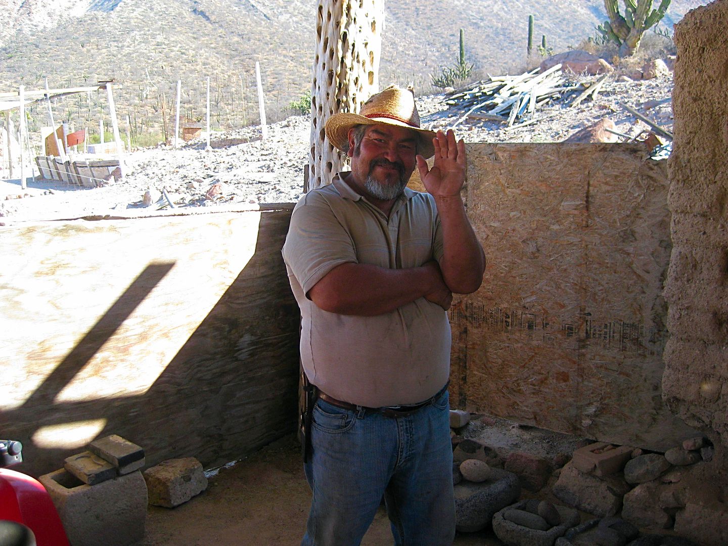
“Fountain of youth”. José looks zactly the same as he did in the picture from 2002. Clean living up there in San Borja.

David K - 10-28-2017 at 04:25 PM

Quote: Originally posted by Sr.vienes  
“Fountain of youth”. José looks zactly the same as he did in the picture from 2002. Clean living up there in San Borja.


Well, he doesn't drink or stay up late!

Apr., 2001:


Sept. 2002:


July, 2003:


Sept. 2016:


[Edited on 10-31-2022 by BajaNomad]

gueribo - 10-28-2017 at 05:51 PM

He does look great. A very kind man.

bajaric - 10-31-2017 at 08:35 AM

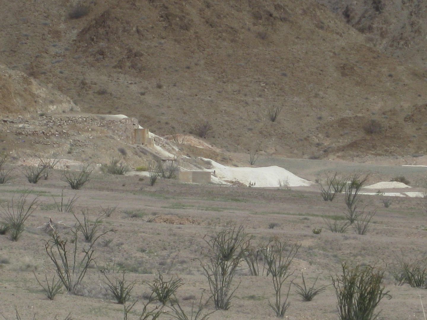
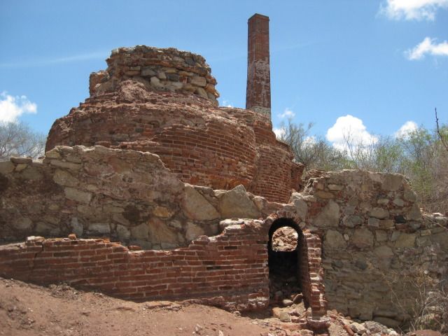
Not a mine, but an old stone ruin in the Sierra Juarez mining district. I attempted to identify the maker of the brick marked SP Co cemented in to the wall to date the structure, but a search of brick collecting web sites (yes, there are brick collecting web sites) did not turn up any matches. Possibly turn of century or earlier. Pics resized w/ Microsoft office picture manager. last pic is standing on mine dump of copper mine near Calmalli

sierra juarez2.jpg - 161kB sierrro jaurez.jpg - 178kB calmalli 048.jpg - 154kB

gueribo - 10-31-2017 at 08:46 AM

Great photos, bajaric.

gueribo - 11-1-2017 at 11:21 AM

Las Flores, processing area for the San Juan mine.

Las Flores processing for San Juan mine.jpg - 173kB

gueribo - 11-10-2017 at 02:45 PM

Topo map of the mines around San Borja mission. There were several smaller concerns, in addition to San Juan.

san borja mines.jpg - 134kB

bajaric - 11-11-2017 at 02:43 PM

great images and map of Las Flores area

the work of optimistic Canadians --

Looks like very rough terrain, imagine getting there and blasting out a mine in the days of horses and mules


AKgringo - 11-11-2017 at 03:29 PM

Quote: Originally posted by bajaric  
great images and map of Las Flores area

the work of optimistic Canadians --

Looks like very rough terrain, imagine getting there and blasting out a mine in the days of horses and mules


Toiling in the Baja dessert, or winter in Canada? They wouldn't even have to be very optimistic about the mine for it to make good sense!

Just ask Motoged, I'll bet he will be up for a little mining soon!