
geoffff - 1-31-2018 at 02:13 PM
I just learned about Strava - it's a map created from GPS tracks that have been uploaded from people's fitness trackers (like Fitbit, etc.). It's
curious to take a look at where people go in Baja:
https://labs.strava.com/heatmap/#7.00/-112.81784/27.75998/gr...
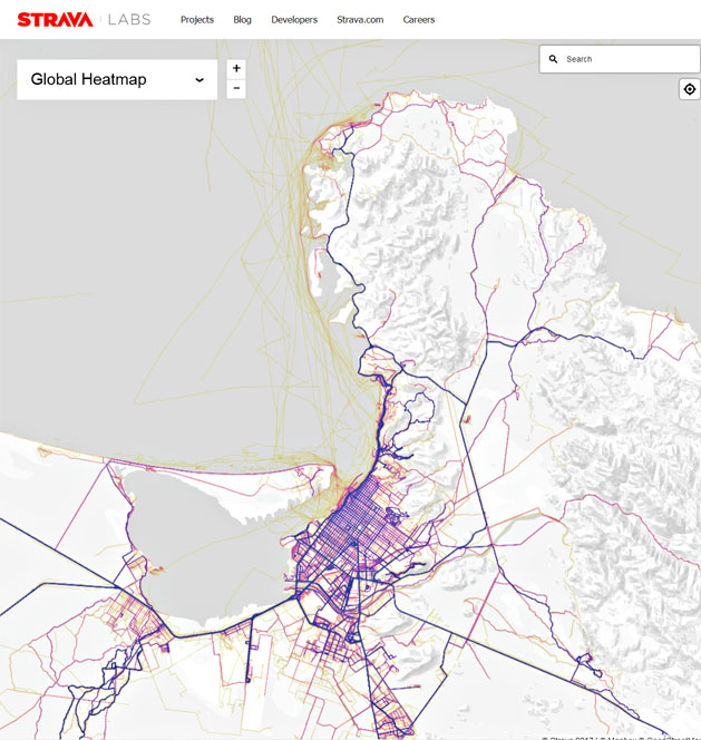
The faintest tracks are the most interesting. Many of these places are off the beaten path, including tracks ending at sites where I happen to know
there is rock art and other sensitive stuff.
-- Geoff
David K - 1-31-2018 at 02:31 PM
That was fun to look all around Baja and see where some have gone... like Mission Santa Maria and Rancho Matomi. None have done the Pole Line Road,
however!
DanO - 1-31-2018 at 02:44 PM
I think it's more than just fitness trackers, it's any GPS enabled device with a fitness app on it, and it appears to track even if the app isn't
open. The eye in the sky is always watching, apparently.