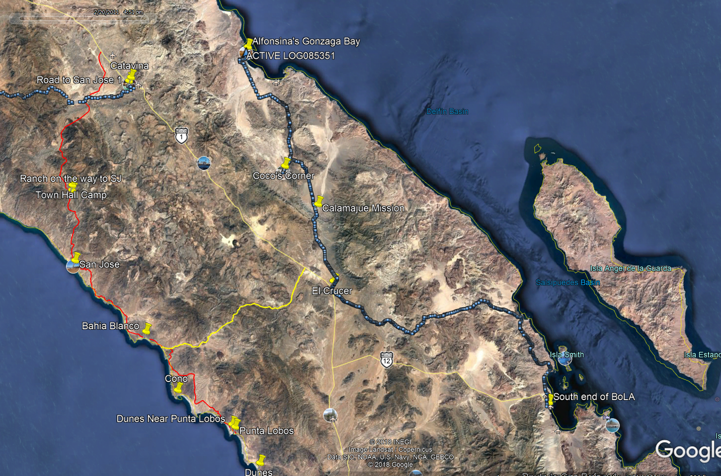
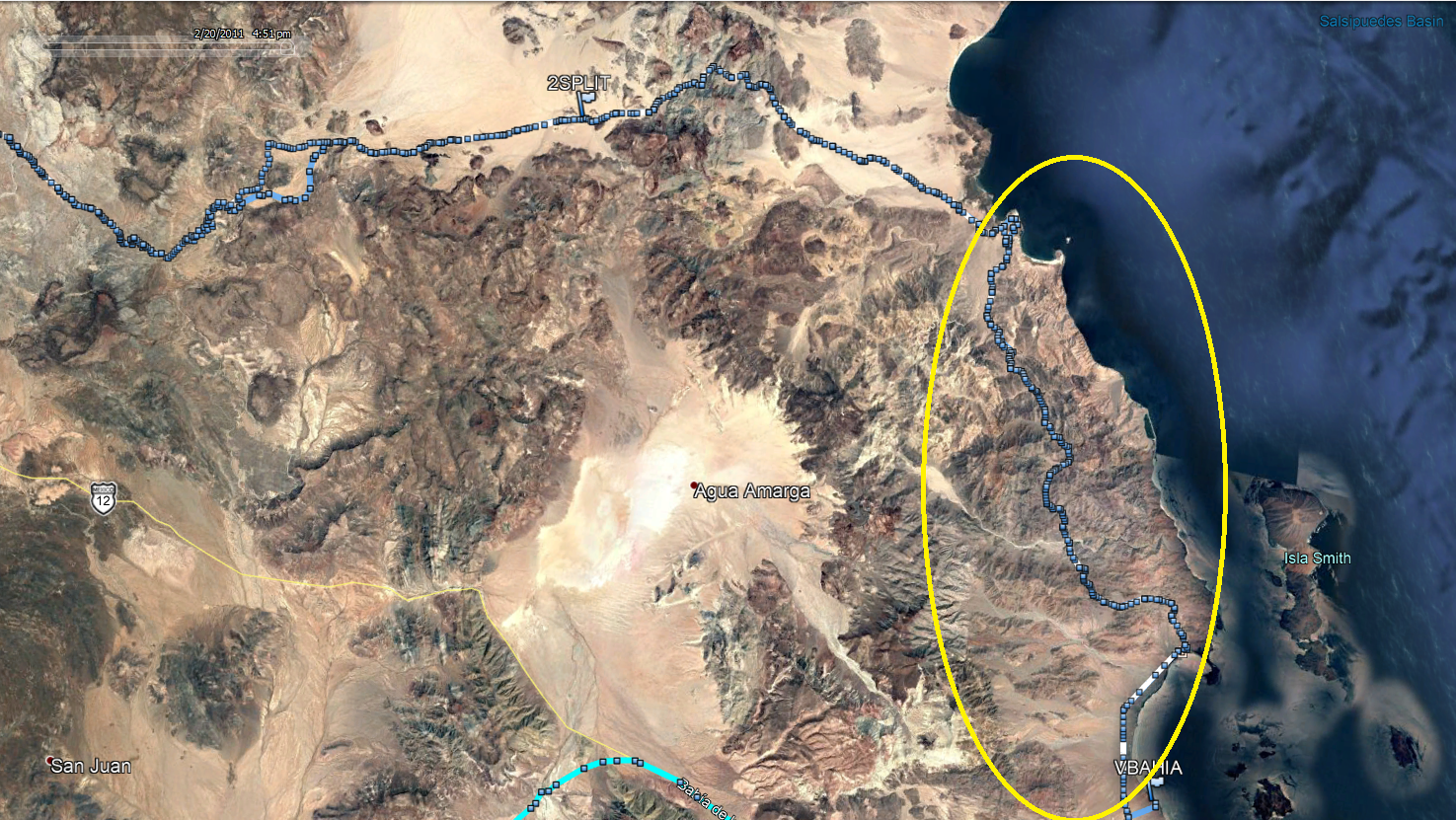
Thanks guys. I am pretty new to this area, only ridden down here once before so don't know the bailouts that well. Trying to avoid that. Anyone
have a suggestion for a nice ride south of BOLA? We have never been down that way and hear it is just beautiful. More interested in seeing the
scenery that great single track, but will take both. We have a range of about 120 miles.
Was thinking a ride to San Franciscita and back might be fun but too much milage without carrying lots of extra gas.
Will post a report when we get back.
Cheers! Rod
|