
Quote: Originally posted by advrider  |
| Quote: Originally posted by ehall |
| Quote: Originally posted by mtgoat666 |


| Quote: Originally posted by Ken Cooke |
| Quote: Originally posted by David K |
| Quote: Originally posted by David K |
| Quote: Originally posted by Ken Cooke |
| Quote: Originally posted by Ken Cooke |

| Quote: Originally posted by 4x4abc |
| Quote: Originally posted by David K |
| Quote: Originally posted by PaulW |
| Quote: Originally posted by 4x4abc |
| Quote: Originally posted by rich t |


| Quote: Originally posted by David K |
| Quote: Originally posted by David K |

| Quote: Originally posted by Ken Cooke |
| Quote: Originally posted by David K |
| Quote: Originally posted by ehall |
| Quote: Originally posted by Ken Cooke |
| Quote: Originally posted by ehall |

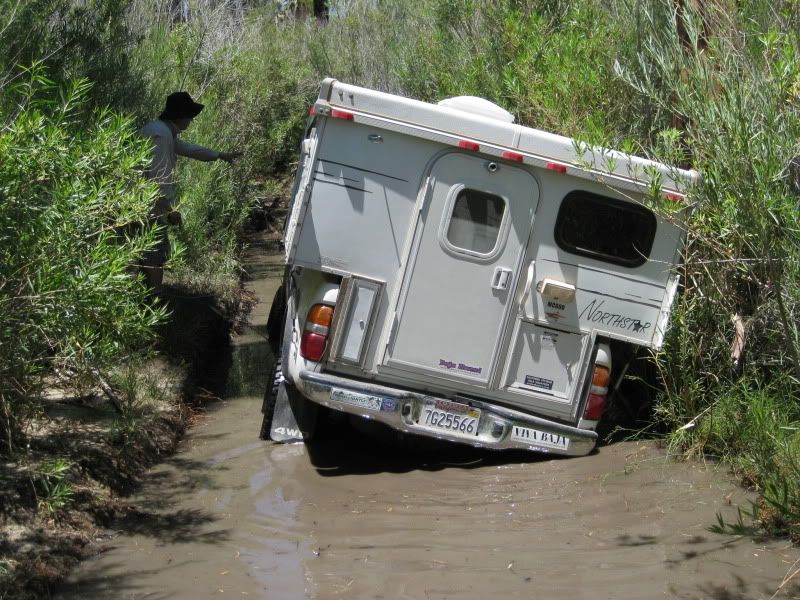
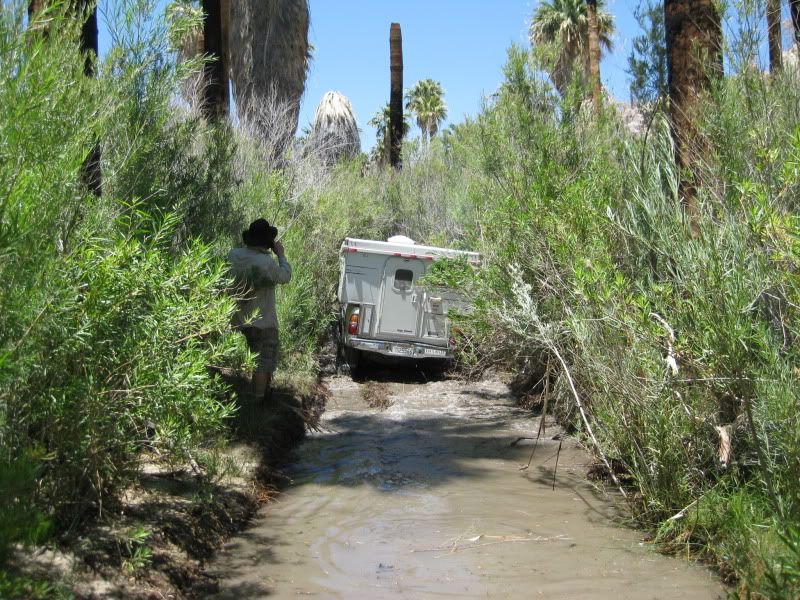
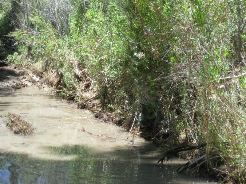
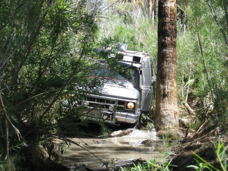
 is just over 1 mile from the mission, and that is the
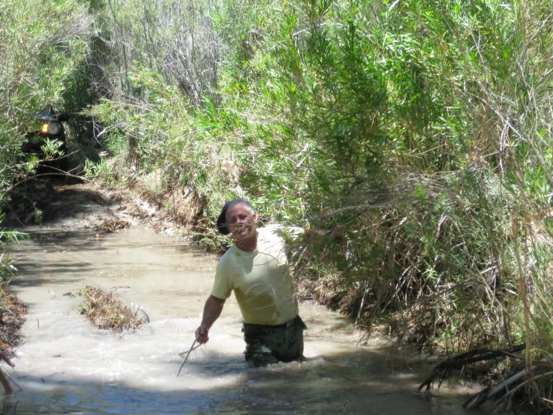
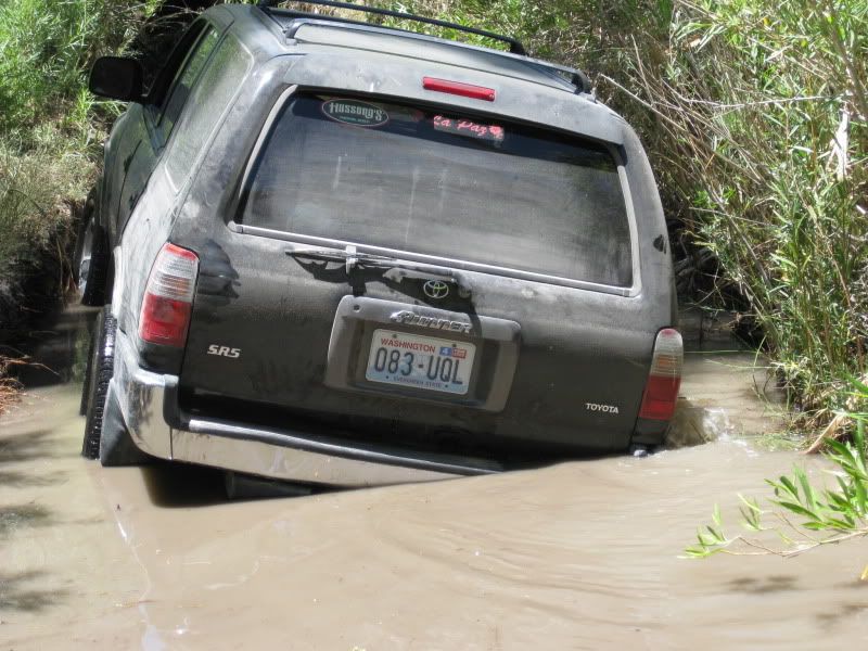
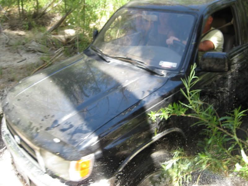
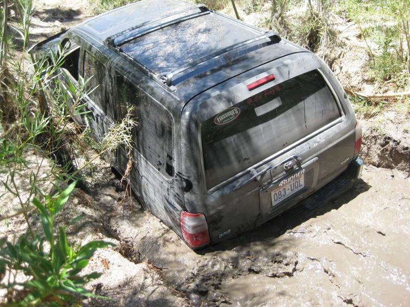
toughest mile as it includes the Widowmaker grade, the bog (underwater 1/2 mile) some very deep dips just as you near the mission. The bog was the
only place we had to help the one vehicle that did not have a rear locker or traction control (an older 4Runner).
is just over 1 mile from the mission, and that is the
toughest mile as it includes the Widowmaker grade, the bog (underwater 1/2 mile) some very deep dips just as you near the mission. The bog was the
only place we had to help the one vehicle that did not have a rear locker or traction control (an older 4Runner).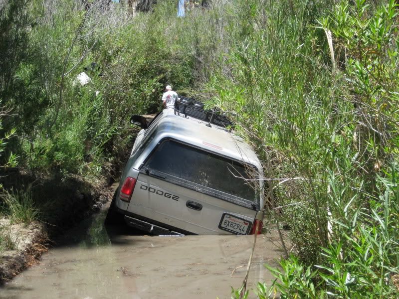


| Quote: Originally posted by rich t |

| Quote: Originally posted by mtgoat666 |
| Quote: Originally posted by David K |
| Quote: Originally posted by David K |
- Motel or Free
camping - Sleep in own bed (Priceless)
| Quote: Originally posted by Ken Cooke |
| Quote: Originally posted by mtgoat666 |
| Quote: Originally posted by David K |
| Quote: Originally posted by Ken Cooke |
| Quote: Originally posted by mtgoat666 |
| Quote: Originally posted by Ken Cooke |
)| Quote: Originally posted by David K |

| Quote: Originally posted by Ken Cooke |

