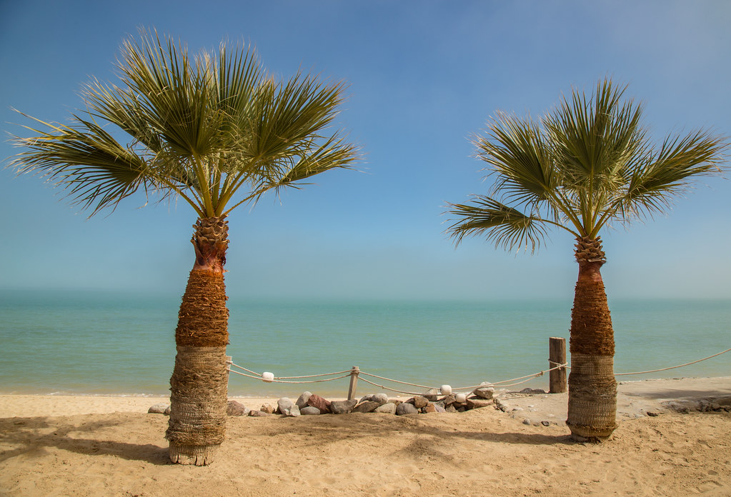
"Our Beach", now that is funny! Too bad there is so little sharing. Baja is for sharing! I began camping there in 1978, named it Shell Island, and
have enjoyed it with family and friends since. The gringos who began living in the region after a paved road arrived have called it Shell Beach. There
already is a Shell Beach in Baja and this one is a barrier island, plus Shell Island is a little more exotic sounding, right? A commercial fishing
camp is seasonally occupied, otherwise nobody else is on the island. Enjoy!
|

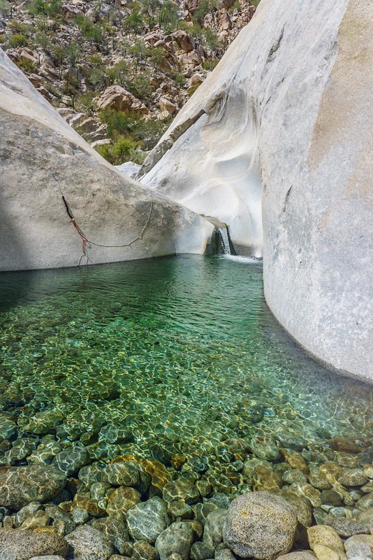
 IMG_4501 by ssichler, on Flickr
 IMG_4535 by ssichler, on Flickr
 IMG_4530 by ssichler, on Flickr
 IMG_4523 by ssichler, on Flickr
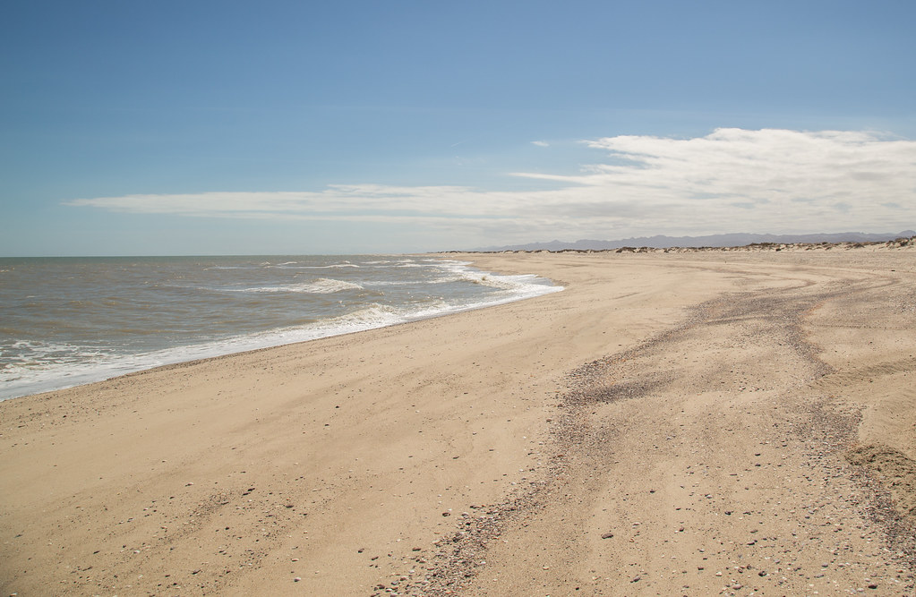 IMG_4526 by ssichler, on Flickr


 DSC03902-2
 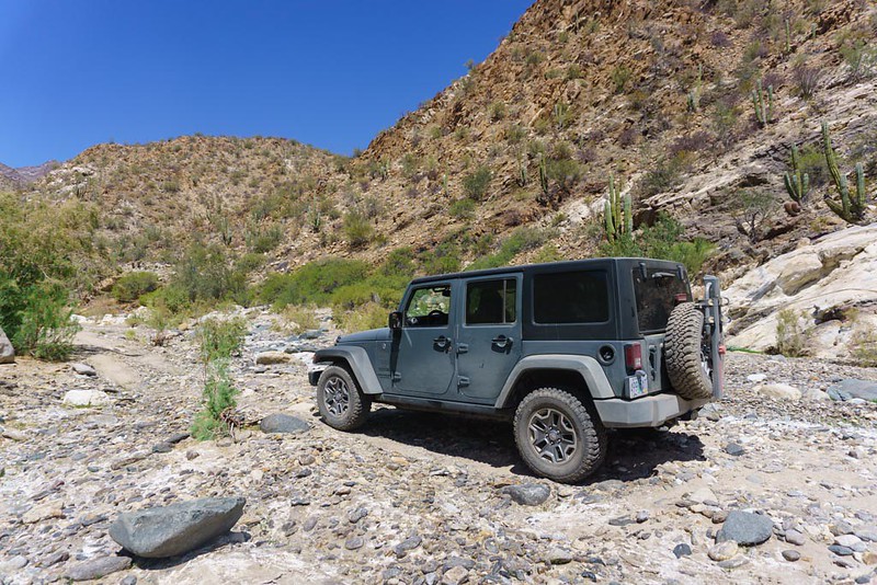 DSC03974-2
 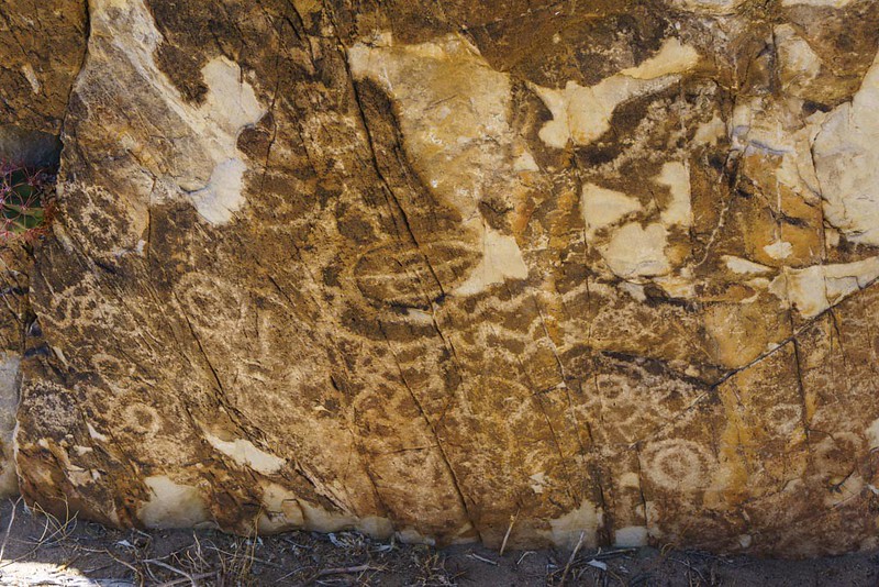 DSC03978-2
  GOPR2318-1
 DSC04004-2 - Copy