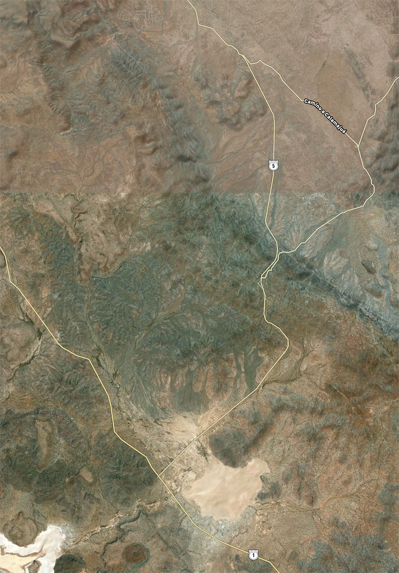
One bit of interest, I had believed the Camino Real went south from Las Arrastras and into the valley south of Coco's before crossing through the
mountains using a canyon, to Calamajué. Howard Gulick placed it that way in 1954 based on what prospectors or ranchers told him and I could see a
trail in this stretch on satellite images. It may have been a parallel trail... the Camino Real is not always just one route between points.
However, Harry Crosby mapped it going north from Calamajué and basically paralleling the dirt road to Las Arrastras.
Well, the GPS Google Earth map from Kevin (after many searches north from Calamajué) found the old trail and he places it about where Harry had. The
'good news' is that Highway 5 south from Las Arrastras is not obliterating El Camino Real, after all. |


 His shack could be rebuilt in day or two