BajaNomad

New Hotel and Airstrip in Valle de los Cirios???

bajaguy - 4-7-2018 at 08:00 AM

Businessmen seeking approvals and permits for a new hotel and airstrip in Valle de los Cirios at the site of San Miguel, south of El Barril and north of the 28th Parallel

http://www.elvigia.net/el-valle/2018/4/7/buscan-construir-ho...

David K - 4-7-2018 at 08:08 AM

Google Translation:

Businessmen requested environmental impact permission to the Ministry of Environment and Natural Resources (Semarnat), to carry out the construction of a hotel in the protected area of ​​Valle de los Cirios, on an area of ​​2.85 hectares.

This hotel would be built on the San Miguel site, south of the town of El Barril and north of Parallel 28, within the territory of Baja California, where the construction of an airfield is also contemplated.

This aerodrome would affect 2.85 hectares of the protected area called the Valley of the Cirios, and allegedly would be used for the transfer of both tourists and sports hunters.

I WOULD STAY IN LA PALMITA
This airstrip will have a length of 1,500 meters by 19 meters wide, would occupy an area of ​​2.85 hectares, so the authorization of the Ministry of Environment and Natural Resources was requested.

In addition, the aerodrome seeks to build in the flood zone of the La Palmita estuary, which they claim is without vegetation, only with some species resistant to salinity.

In the application they attached that the project is located in the area of ​​influence of the Valle de los Cirios Flora and Fauna Protection Area, internationally recognized for its state of conservation.

Pappy Jon - 4-7-2018 at 08:26 AM

Is this the San Miguel off the No Wimps Trail? I object.

[Edited on 4-7-2018 by Pappy Jon]

BigBearRider - 4-7-2018 at 08:50 AM

Interesting with a new airstrip in Baja. I think it’s been a while.

BigBearRider - 4-7-2018 at 08:54 AM

Interesting with a new airstrip in Baja. I think it’s been a while.

TMW - 4-7-2018 at 02:33 PM

Quote: Originally posted by Pappy Jon  
Is this the San Miguel off the No Wimps Trail? I object.


Yes it is. The area was recently fenced off as a preserve for Big Horn Sheep and from this it looks like those sheep will be hunted.

Cliffy - 4-7-2018 at 05:27 PM

Sustainable harvest with hunting dollars going to preservation of the species is a world wide accepted proposition. $$$$ bring in water holes, feed enhancement programs, DNA studies to further diversity of blood lines and enhance veterinary services.

chuckie - 4-7-2018 at 05:52 PM

And Bob's your Uncle...

TMW - 4-7-2018 at 07:52 PM

It's been said that Carlos Slim is the money behind it. He owns property at San Francisquito and has tried to buy other properties along the coast in that area including Panchos. The electric company will soon be running lines from Tres Virgenes north near the coast to El Barril and across the SOC under water to the mainland.

Pfish - 4-8-2018 at 09:27 AM

Here is an idea: Never kill anything that you are not going to eat in the near future. Trophy hunting is bullchit. Any this comes from a guy who spears fish weekly.

motoged - 4-8-2018 at 10:53 AM

'Nuf said.....:no:

A beautiful area....there is already an airstrip in the area....

Cliffy - 4-8-2018 at 10:58 AM

What makes you think that the animal isn't eaten?

In Africa every bit of an animal taken is used including stuff you wouldn't eat yourself. Except of course for poachers who only want the high value black market parts but that's not "trophy hunting" by any definition.

If one refuses to see reality then one is destined to live in ignorance.

Scientific harvesting of game is the reality in the 21st century for the survival of many species of "game animals". No trophy or sport hunter today advocates the wasting of game. Every state in the USA has regulations against wasting game animals as does every country in the world that governs "sport or trophy hunters". I might suggest some research into hunting today and you might formulate a different viewpoint.

You might look up and read about the Pittman-Robertson Act that hunters voted in way back in 1937. You might look into the Safari Club International or the Dallas Safari Club and learn how many millions of dollars they give for conservation of ALL species every year.

BTW, how many dollars did you donate to the preservation of wildlife and habitat last year?

Your premise is totally wrong in today's world.

What do you have to support your position? I'm listening.

motoged - 4-8-2018 at 11:31 AM

.....And....???????

del mar - 4-8-2018 at 11:36 AM

Quote: Originally posted by motoged  
.....And....???????


:biggrin: better?

Alm - 4-8-2018 at 11:57 AM

In Baja Almanac, the place where the road from San Miguel ends on the beach, is called Punta Paulito, with a rancho Los Corrales. I landed there for a night, didn't see any corrals, though didn't walk far inland. Estero la Palmita is to the North of Punta. At the end of the road, in Corrales, there is no nice beach, the place is exposed and rather windy.

It looked nicer 5 miles South of Corrales, on parallel 28:


All good things have to end.

David K - 4-8-2018 at 12:19 PM

There must be a nice beach somewhere around Los Corrales??? Roy (The squarecircle) has been trying to get me to go there for years. Cameron Steele also says it is a very special place to him... I wonder if it will make one of his 50 Best of Baja places?

TW, do you know of such a nice beach at Los Corrales that Roy likes?

The closest I got was Rancho La Ilusión, last year.

Alm - 4-8-2018 at 12:37 PM

The beach on the photo is at the parallel 28. It looks nice because of all the green stuff. And because it's calm morning. By the look of the gravel and driftwood, it's same exposed as Corrales (where the road ends). But Corrales beach is uglier :)

From North to South:
Looong Estero la Palmita -> "Corrales" on Punta Paulito aka Punta San Juan Bautista -> Bahia San Juan Bautista -> parallel 28, beach on the photo.

TMW - 4-8-2018 at 12:40 PM

Actually I don't remember any nice or beautiful sand beaches along the coast. The sand areas are short sections or hard to get to areas. Overall it is a nice place mainly due to it's remoteness. There is an area on the south end called the salt flats and the beach is not visible from the road but is accessible from the south end. It may have a nice beach. We saw somebody camp out there on the trip Roy and I did in Dec. of 2016.

David K - 4-8-2018 at 12:46 PM

I guess I should call Roy and ask, I do have an hour or two to kill... :cool:

Alm - 4-8-2018 at 03:38 PM

There are no sandy beaches close to Coralles, this is correct.

Salt flats are ~20 miles South from Los Corrales, South of parallel 28. Very shallow mud/sand lagoon with salt workers shack and a working salt pond behind. Not really nice and you can't swim there, too shallow. Lagoon opens to the South but is still exposed, North winds blow straight through the flats.

About one mile North of the Salinas there is a cove open to the East, it is sandy. You can't see it from the road, yes.

Tons of no-seeums all over, from salt works to sandy cove, except for December and January. I think this is because of shallow salt ponds.

[Edited on 4-8-2018 by Alm]

Fernweh - 4-8-2018 at 04:39 PM

the salt flats are called Salina de Trinidad, and there are two nice sandy beaches, between the salina and Los Corrales.
the Rancho San Miguel buildings have been already restored, and the next project would be the nice single block building with the stain glass windows closer to the beach, to be restore to its former beauty.

4x4abc - 4-8-2018 at 04:56 PM

very nice beach north of Casona San Miguel (the big house)
south of Punta La Langostera

28.138060°, -112.811546°

Playa el Almirante (south of Los Corrales) is a super nice beach
soft white sand
27.954980°, -112.761994°

[Edited on 4-9-2018 by 4x4abc]

[Edited on 4-9-2018 by 4x4abc]

4x4abc - 4-8-2018 at 05:09 PM

Playa La Palmita is another great beach with soft sand in the area
27.844720°, -112.753397°
North wind can render it useless some days

David K - 4-8-2018 at 05:19 PM

Thanks, Karl and Harald for confirming there is a nice beach in that region.
I think the beach Roy was describing is this one?:
Playa el Almirante (south of Los Corrales) is a super nice beach
soft white sand
27.954980°, -112.761994°

[Edited on 4-9-2018 by David K]

Alm - 4-8-2018 at 05:51 PM

Quote: Originally posted by Fernweh  
the salt flats are called Salina de Trinidad, and there are two nice sandy beaches, between the salina and Los Corrales.
the Rancho San Miguel buildings have been already restored, and the next project would be the nice single block building with the stain glass windows closer to the beach, to be restore to its former beauty.

Yes, Salina de Trinidad is the one I was talking about. One beach is about 1 mile North of Salina. Well, at least, there is no development next to this beach yet. And there is one more beach closer to Salina, maybe half a mile from Salina. It has a small islet called Isla Lobera - there were indeed sea lions on that rock - but the beach is gravel. It gets sandy farther inland, towards the road (and dirtier too).

4x4abc - 4-8-2018 at 06:07 PM

fixed it David

Alm - 4-8-2018 at 06:38 PM

Quote: Originally posted by David K  

Playa el Almirante (south of Los Corrales) is a super nice beach
soft white sand
27.954980°, -112.761994°

Yes.
N27.55' (55 minutes) or decimal 27.92 degrees. Mas o menos. I used to call it "mosquito beach" :), mucho no-seems. Punta Almirante is good few miles North, but I guess they could call it Playa el Almirante.
4x4abc - 4-8-2018 at 07:39 PM

Punta Almirante and Playa Almirante are tied together

a nice beach close to there (just 2 miles south) is San Barnabe (Consag named it)
we call it Lobster Bay, because the rocks are full of lobster
27.921525°, -112.763085°

TMW - 4-8-2018 at 07:53 PM

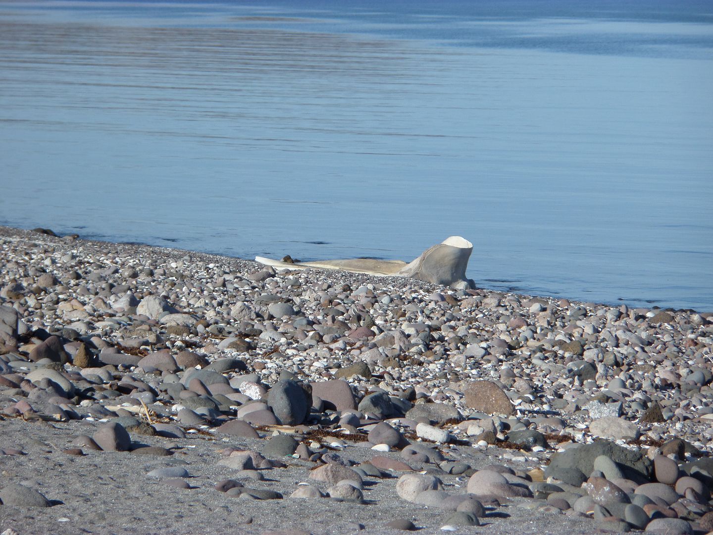
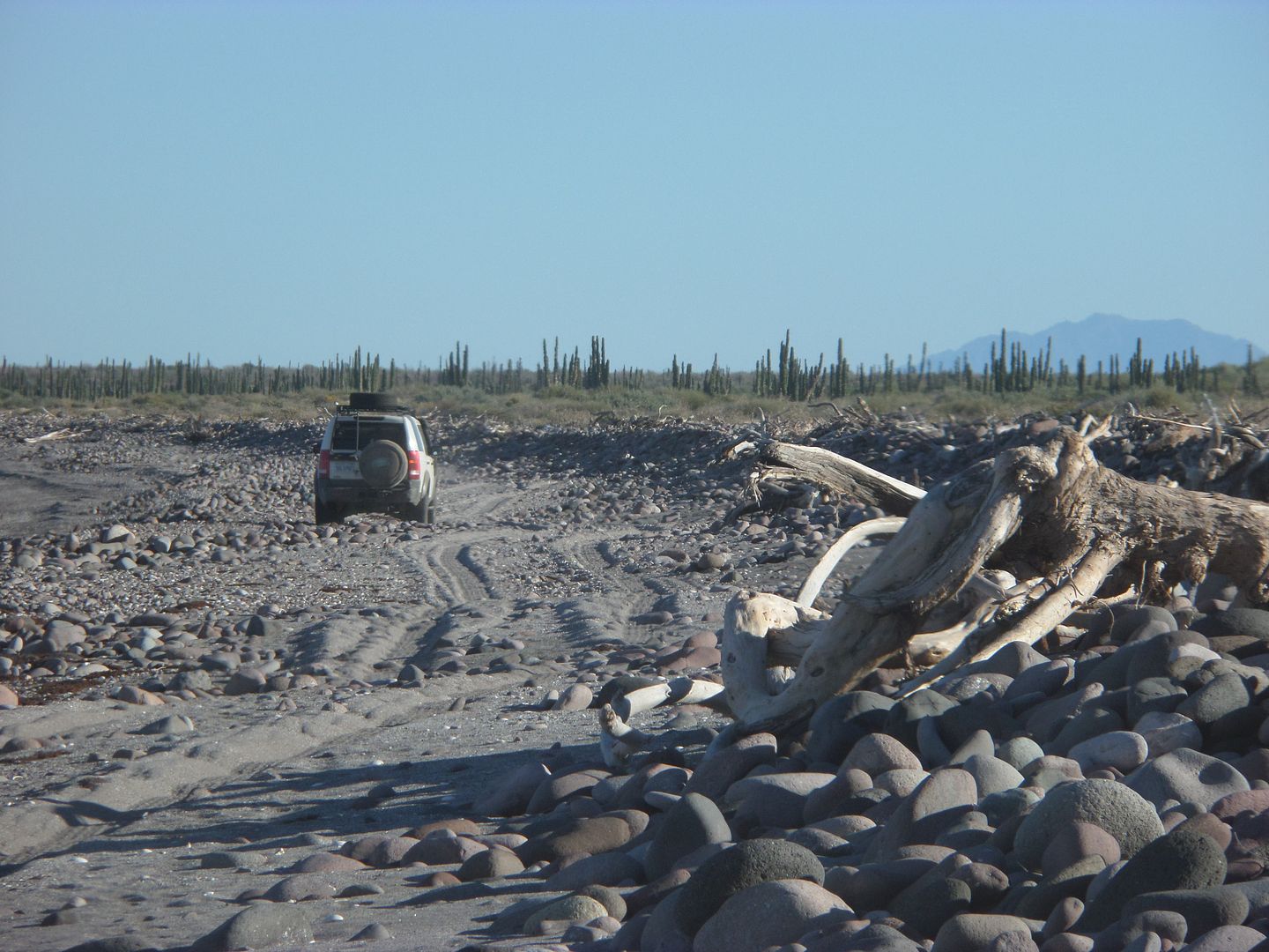
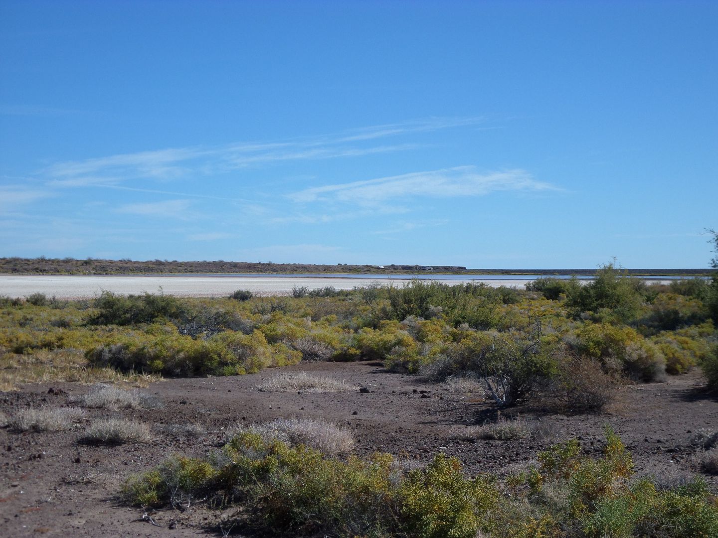
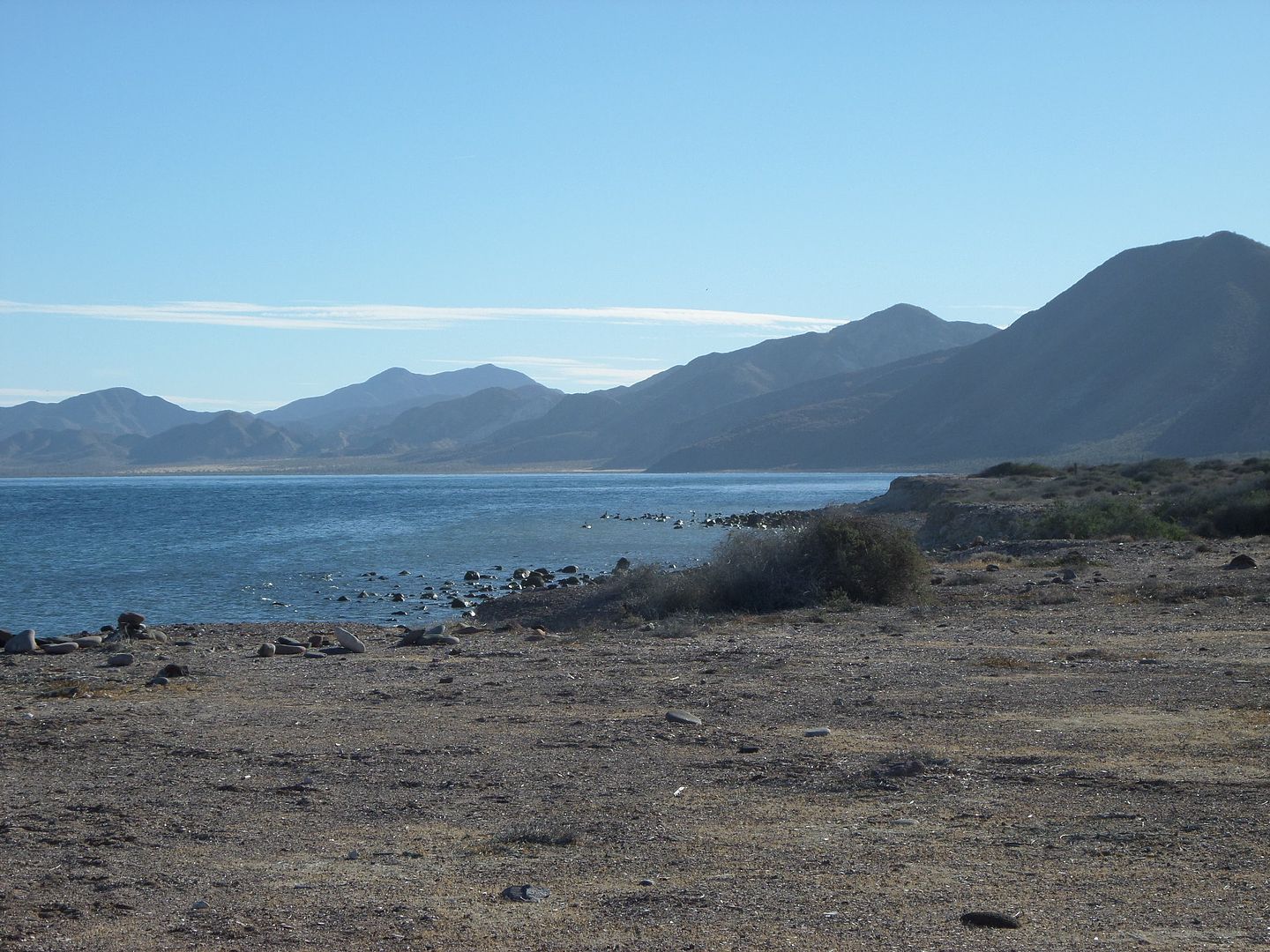
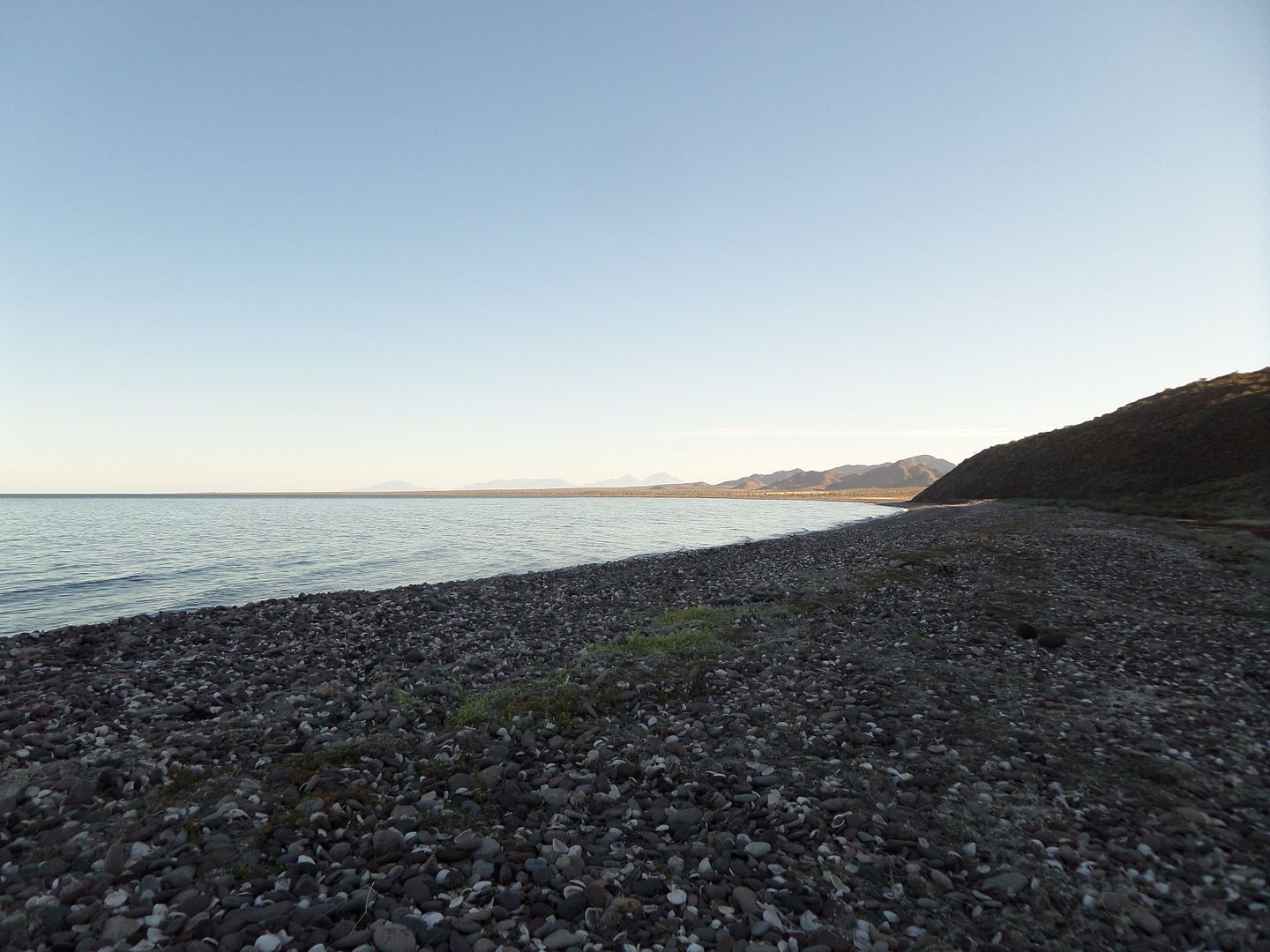
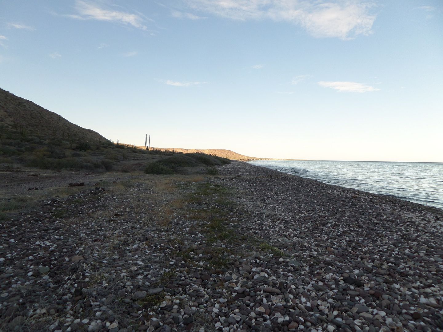
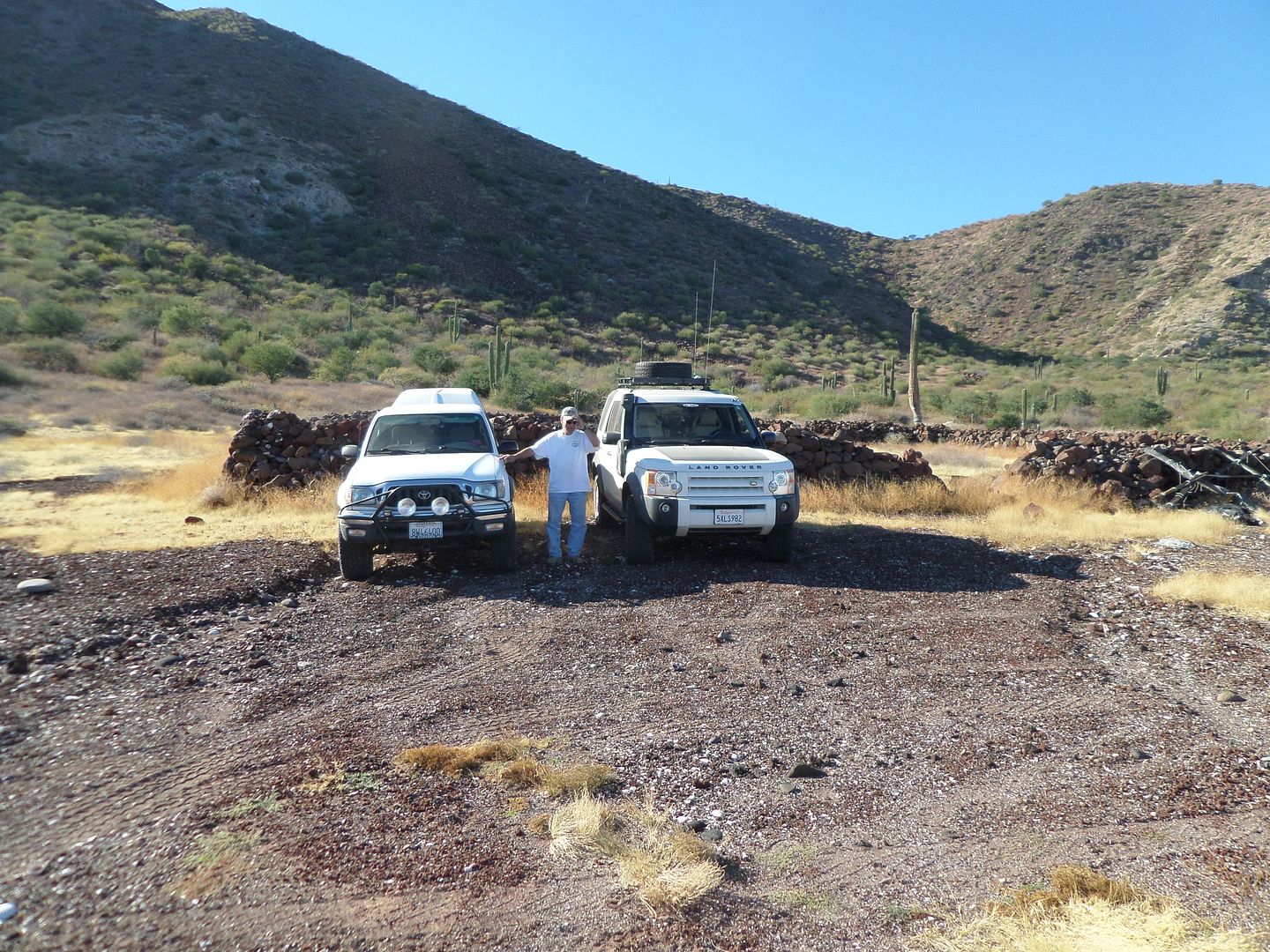
Here are some pictures I took on the various trips I made along the coast. Before the rock corral you had to get on a sandy beach and drive for a while.


In front of the corral

Further south

South end of the salt flats looking toward the SOC

I'm not sure where the next set of pictures were taken along the coast


I think this picture was taken after the turn west away from the coast and then back to the coast at 27-56.16x112-46.10 or a little further south.


To the north of the last picture the trail turns west into an arroyo at a sandy beach section for a short distance then climbs upon a flat area to a road going west. That maybe a nice sandy beach at 27-57.12x112-45.82.


[Edited on 10-13-2021 by BajaNomad]

Alm - 4-8-2018 at 09:25 PM

Quote: Originally posted by TMW  

I'm not sure where the next set of pictures were taken along the coast

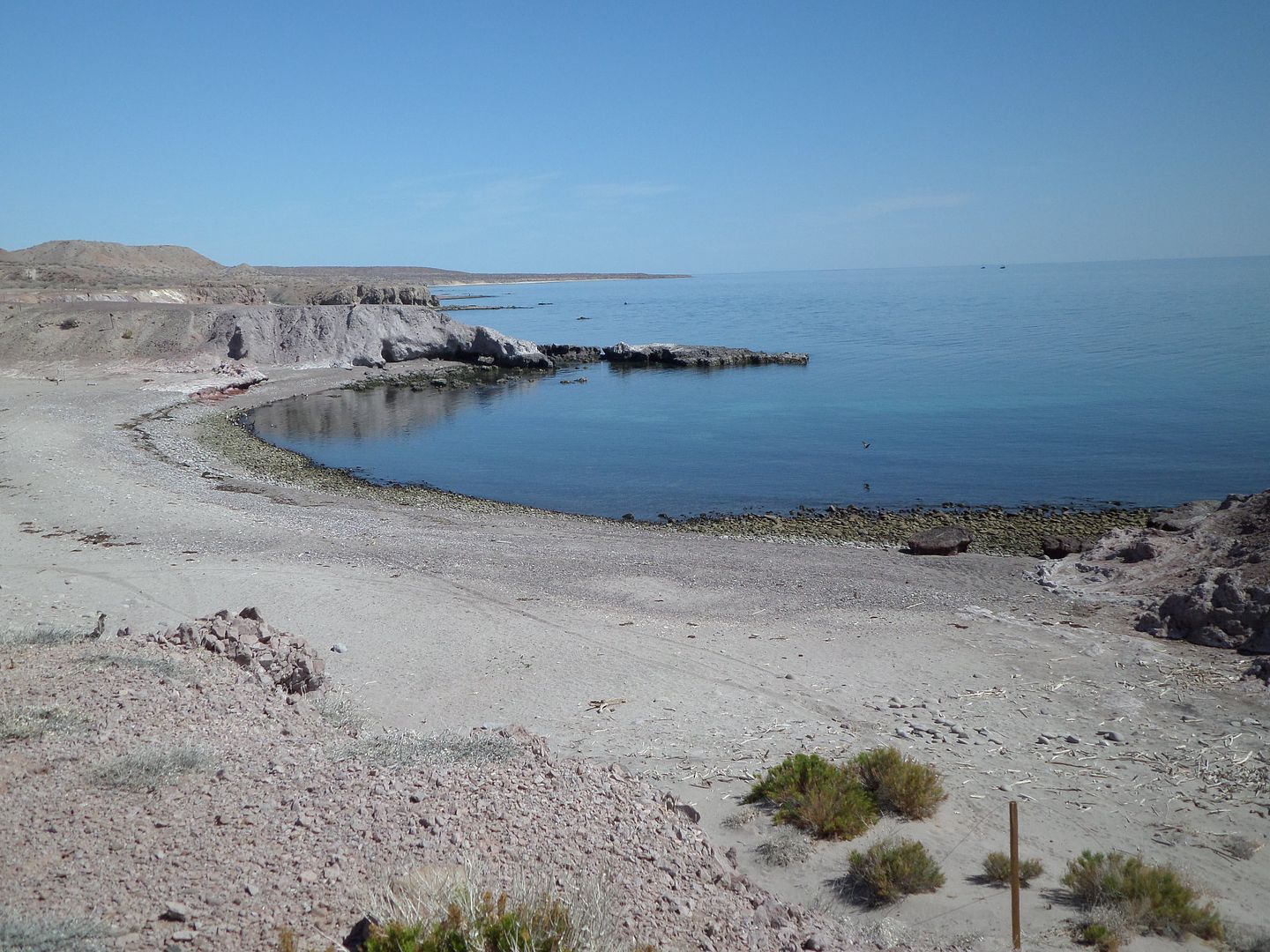
The very next photo is where the map says "Corrales". North side of the Bahia Juan Bautista, close to Punta Bautista. North of parallel 28. This is evening but it doesn't look much nicer in midday. Not my idea of a nice beach, - let them have this hotel there ;) ...

Quote: Originally posted by TMW  

That maybe a nice sandy beach at 27-57.12x112-45.82.

Looks like the one. The stick on the right is the remainder of barbed wire fence that was there for some reason, years ago.

I don't remember it being tied to Punta Almirante, but some other cove to the North could be. It's been a while since I camped there.

TMW - 4-9-2018 at 11:37 AM

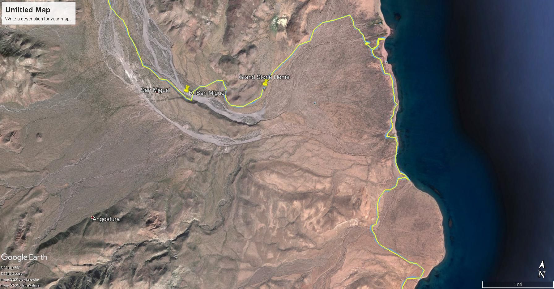
Back in 2011 or about that time frame Nomad Fernweh did the NWT and also the area past R. San Miguel to the northeast and the stone house.


[Edited on 10-13-2021 by BajaNomad]

mjs - 4-10-2018 at 08:03 AM

The Tres Virgenes eco-lodge has quite a collection of pictures on their walls of hunters and their trophies.

Just saying as I'm not a hunter and don't see the appeal. (Except maybe for fish :) )

Sorry to see NWT fenced off though.