Inside cover.
This was one of the books from Mike McMahan's library. Mike was the creator of the famous Baja Wall maps of the 60s to 90s. Mike also wrote an
excellent book in 1973, 'There It Is: Baja!, which was republished 10 years later in softback with the title changes to 'Adventures in Baja'.
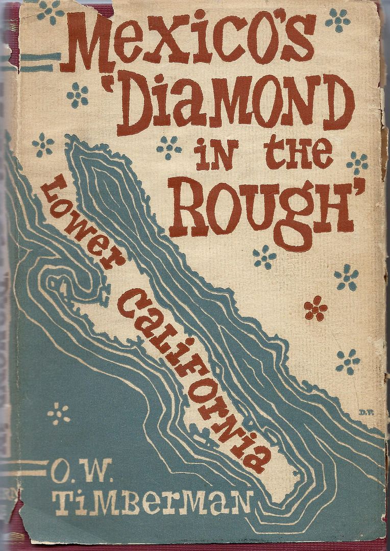
Mexico's Diamond in the Rough (Lower California Adventure) by O.W. Timberman c1959 was one of many adventure books written by those who traveled by
automobile down Baja when a four-wheel drive was almost mandatory and the high adventure and sport fishing or hunting was just too great to not be
excited over.
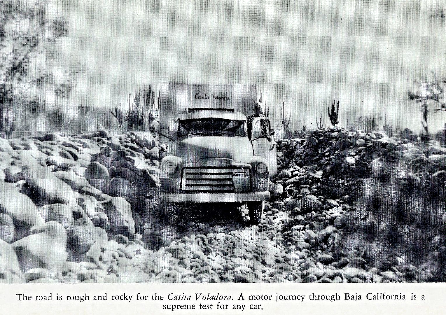
The pavement ended 70 some miles south of Ensenada and began again only 24 miles north of La Paz on their trip in the late 50s. La Paz to Cabo was all
dirt roads (in 1966 on my first trip, it was paved only to 10 miles south of town and about 100 miles north).
The book is a well-written account of the couple's no-hurry travel down the peninsula with many interactions with locals at various villages and
ranchos.
I will recount a few passages from the book that stood out about the road or places or people described in follow-up posts.
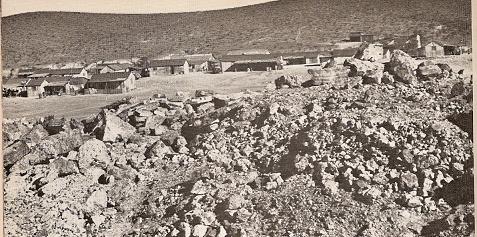
Baja Highway about 60 years ago...
Famous Beach Palms...
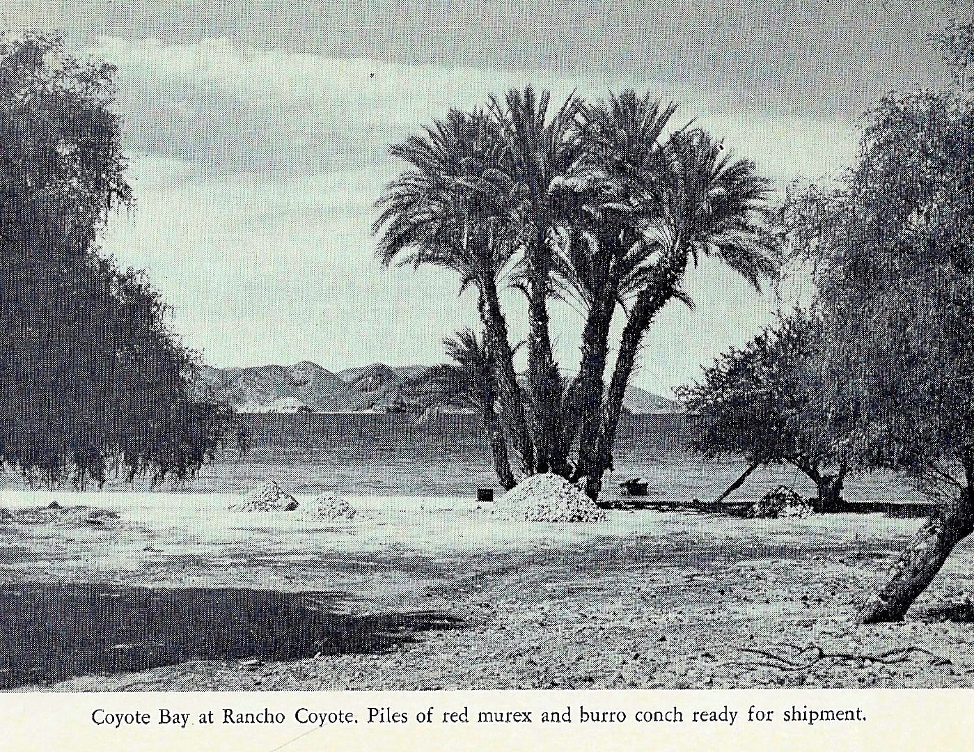
60 years later, they are still at the edge of the sea, and not in it!
|


 MAKE AMERICA DECENT THROW OUT STPIUD GOAT.