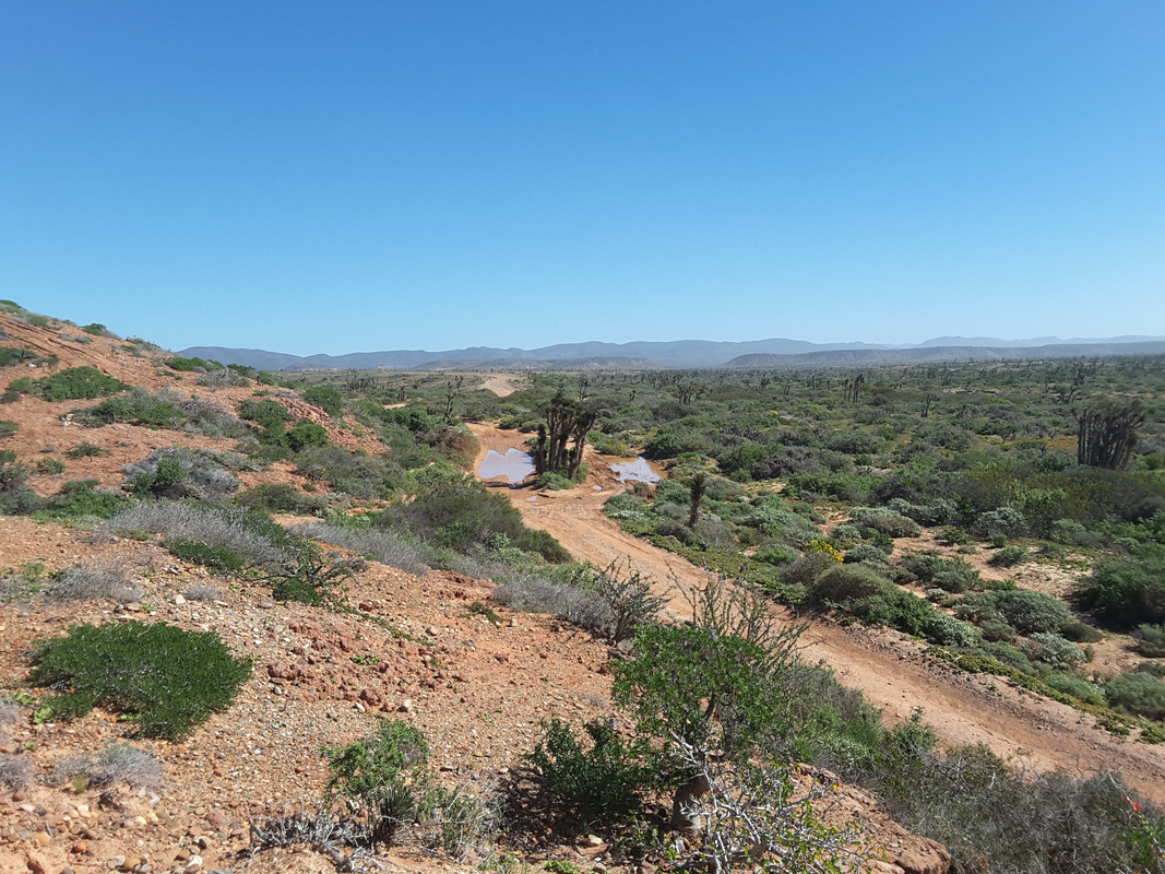
When studying Google earth is is easy to mis-characterize washes/drainages for roads then put the darn things on a GPS background map. Some times they
are drive able, but most likely big drop offs or too narrow passage prevents passage. I found these errors on most all the GPS maps I have used.
And, I have created tracks using Google Earth and when I got there I found the track impassable. Sure enough I still do it all the time for exploring
unknown places.
BTW. In my experience the GPS maps of cities in Baja are pretty bad. Such as alleys full of debris that were labeled as roads. And addresses that
turned out to be bogus
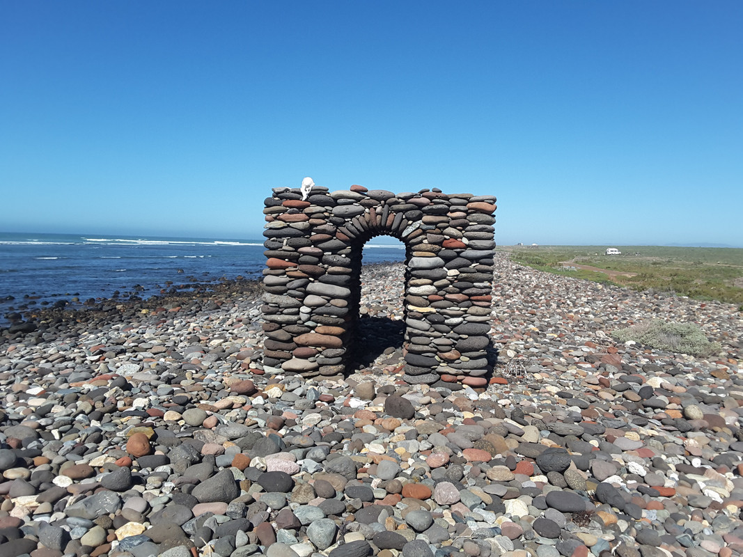
|


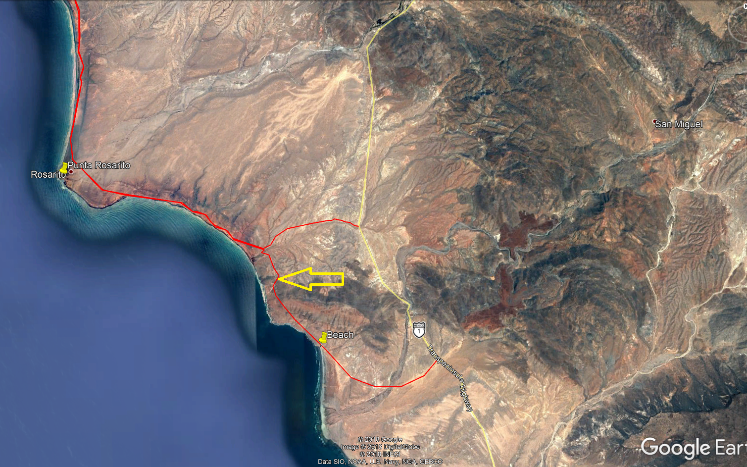
 screen grab
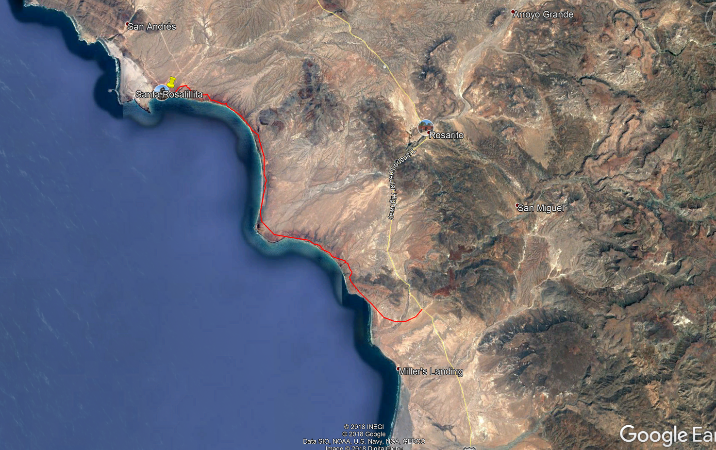